Officials ponder solutions to latest round of Hatteras Inlet shoaling
Worsening conditions in Hatteras Inlet spurred more than 100 people, mostly watermen, to come out on a rainy night on Tuesday to attend a meeting in Hatteras village to toss around possible remedies to intractable shoaling in the channel.
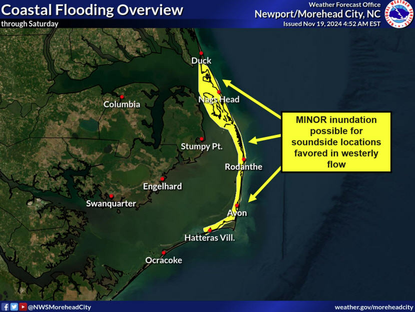
In recent weeks, sand has choked a section of the channel between the Hatteras Inlet gorge and the Ocracoke south ferry dock, leaving as little as 4 feet of water and causing some vessels to bump bottom.
“You can’t get a charter boat through there, much less a dredge,” Allen Burrus, Dare County Commissioner from Hatteras said at the special meeting of the Oregon Inlet and Waterways Commission.
Fixing the problem is exacerbated by its location, which is apparently out of bounds of both state and federal responsibility. Since the state ferry now uses a natural, although longer, channel, and the U.S. Army Corps of Engineers is authorized to maintain only the Rollinson Channel – which includes much of the now unused shorter channel – the area falls into a regulatory no man’s land.
“People have to understand, it’s a pass-the-buck thing,” said Burrus, who is also a member of the waterways commission. “We have to have a whole new realm of thinking to get this done. It’s not impossible. . . The bottom line is we have an emergency situation. We need to get at it.”
The troublesome area is about one-third mile long, situated between buoys 2 and 6.
One solution could be if the Corps is able to piggy-back on the Ferry Division’s permit that it had used previously for maintenance of the shorter channel. The question was posed to Ferry Division Deputy Director Jed Dixon, a commission member, by Beth Midgett, whose family owns Hatteras Landing and Teach’s Lair marinas in Hatteras village.
Dixon agreed it was worth checking whether the permit would cover a new dredging project at the problem spot.
“That would be the quickest and best route, probably, to get something done in that area,” he responded. “If it can be done.”
But Dixon added many questions would have to be answered before the proposal could get serious consideration, including if such a permit would authorize the type of work needed in that area.
Hatteras Inlet has changed significantly since 2002, when it was about one-third of a mile wide. Since then, the shoreline has receded at least a mile, most noticeably at the Hatteras spit at the end of Pole Road. Long-time inlet users agree that the amount of shoaling created by Hurricane Isabel in 2003 and worsened by Hurricane Irene in 2011 is unprecedented. As yet, no detailed scientific modeling has been done to provide more insight into the changing coastal processes.
The inlet is now about two miles wide from the Hatteras spit to Ocracoke’s north point, said Steve Shriver, the Corps’ team leader of the Outer Banks survey section.
The state Department of Transportation, through an agreement it has with the Corps, has recently had dredging done in portions of the current ferry channel, exhausting the available funds until Oct. 2015. Still, the division’s hands are tied to help clear the shoaling that’s developed outside the official channel.
“It’s a difficult situation for everyone involved,” Dixon said in a telephone interview.
“The state understands that it’s an important part of doing business in Hatteras Inlet. But we don’t have the jurisdiction.”
The 7 1/2-mile “long” ferry route, which takes about twenty minutes more than the previous 4-mile “short” route, has been costly to the division, adding significantly to fuel expenses and difficulty in transporting more than one million tourists annually between Hatteras and Ocracoke islands. Charter captains and commercial fishermen are also paying the price of higher fuel costs and more travel time to the ocean.
Coast Guard Master Chief Brent Zado, who is stationed at Hatteras Inlet, said that it also takes the Coast Guard longer to get out.
“It’s 45 minutes, if everything is pristine, in one of our motor life boats,” he told the commission. “So it takes a significant amount of extra time.” And when conditions aren’t good, it can take up to 90 minutes. Plus, at low tide, he said, “We have scrubbed bottom.”
But getting the short route back to a navigable state would be a difficult challenge.
According to an article in the Aug. 11 Ocracoke Observer, Dixon recently reported that a survey of Hatteras Inlet near Ocracoke revealed that more than 1 million cubic yards of sand would have to be removed to provide a shortcut across the long route, an unrealistic amount to dredge. For comparison, he said that a dump truck holds 100 cubic yards of sand.
Rollinson Channel had been the main passage to the ocean since the Corps dredged it out in 1936, providing a route for boats from Hatteras village to the end of Hatteras spit. They would then turn into the inlet in the state-maintained channel, either toward the ocean, or southwest to the Ocracoke ferry docks. The state ferries started using the channel in 1957, when service started transporting vehicles between the islands.
But the Rollinson section through the inlet is where the worst shoaling has occurred.
The longer route, officially designated the new official channel in 2014, requires boaters near the end of the Hatteras spit to turn right into Barney Slough, head north and then cut over to Sloop Channel, which runs to the south toward the Ocracoke ferry docks. Ocean-going vessels go beyond the docks, along the north end of the island, and into deeper water through the inlet.
At the Waterways Commission meeting last month, it was proposed that a 50-foot “widener” on either side of the existing 100 foot channel on the east side of the original ferry route could be a solution that could make the channel 200 feet wide. The Corps has used the technique in the navigation channel in Oregon Inlet.
But Shriver, with the Corps, said that the widener would only be a temporary measure.
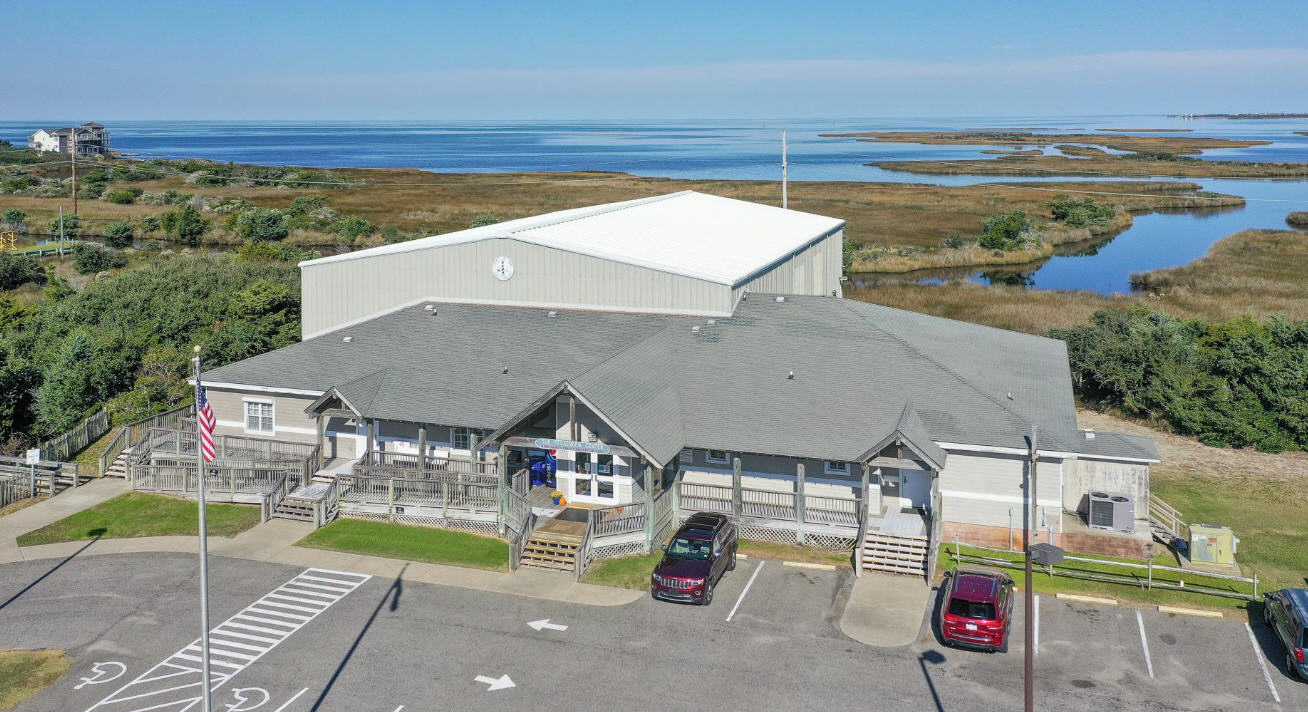
The Corps’ Chief of Navigation, Roger Bullock, is expected to provide details about the widener idea at the next commission meeting next Tuesday at 7 p.m., which will be held again in Hatteras at the Civic Center.
Shriver said that a new survey map has been completed of the problem area, and another is being done of the entire Barney Slough area. Details of at least the first survey will be presented at the meeting, he said.
It is still to be determined where funding will come from for whatever work can be authorized in Hatteras Inlet.
Some watermen and commission members suggested that it might be time to ask the governor to declare a state of emergency, which could help speed up permits.
Hatteras charter captain and commission member Ernie Foster said that he finds it so frustrating that even with no dissent about the dire condition of Hatteras Inlet, nothing seems to be able to get done.
“There is uniformity of understanding,” he said. “Yet, there’s a roadblock here, a roadblock there. There’s desperation here.”
RELATED ARTICLE
The state of Hatteras Inlet….WITH SLIDE SHOW


