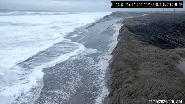
Disturbance in the Caribbean may become Cristobal
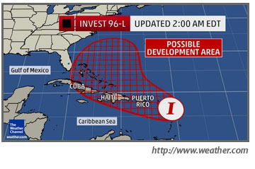
Forecasters are taking a careful look tonight at Invest 96L, a disturbance that is moving through the Caribbean Sea and could well become a tropical depression or named storm over the weekend.
The National Hurricane Center says there is an 80 percent chance of that happening. If it does, the storm would be named Cristobal.
This evening, the broad area of low pressure is hanging out just north of Puerto Rico, bringing heavy rains to that island, but it is having trouble getting organized into a tropical system with a closed area of circulation around the center.
Over the weekend, it is forecast to continue to move west, bringing heavy rains and mudslides to Haiti and the Dominican Republic, and then start heading into the Bahamas.
Earlier this week — and even earlier today — forecast models were curving the storm to the north and eventually the northeast as it moves away from the Bahamas. Most models were in agreement that it probably would not threaten the United States, but would pass well offshore.
However, forecasters this evening are hedging their bets, especially if the storm slows down and even intensifies in the Bahamas.
Mid-level ridging was predicted to dip south along the Atlantic coast this weekend and turn the storm to the north. But if the system slows down, weather conditions and steering currents could change.
“Sunday is fork in the road day,” said a Weather Channel forecaster. On one hand, the storm, whether it is Cristobal or not, could continue on its path to the west or it could turn and head north.
All of us on the Outer Banks or headed this way next week will want to follow the National Hurricane Center forecasts throughout the weekend.


