Waterways Commission works on new mission, same old problems
Now that the Dare County Waterways Commission has a more inclusive name, the panel will soon update its official mission by retiring its focus on securing jetties at Oregon Inlet — a goal as obsolete as the days of fat federal budgets for coastal projects.
At its meeting Monday in Manteo, commission administrator Jenny Jones said that county manager Bobby Outten is currently working on creating the new mission statement.
Along with its month-old moniker, the commission has a fresh board whose new Hatteras-dominated membership is also reflecting significant change. Attention has turned almost exclusively to the south, while entrusting care of Oregon Inlet to the Oregon Inlet Task Force.
But in addition to recommitting most of its energy toward Hatteras Inlet, the commission will continue oversight as needed on Stumpy Point and Rodanthe harbors and channels. And the monthly meetings will still alternate between Manteo and Buxton, a schedule that began only in the last year.
Bob Woodard, chairman of the Dare County Board of Commissioners, said he supported the commission’s narrower focus, but urged members to make more of an effort to come regularly to meetings.
“That’s critical,” he said. “We need people to attend and participate.”
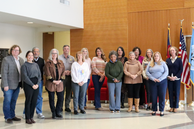
New members Dan Oden and Danny Couch, joined by Ernie Foster and Steve “Creature” Coulter, and chairman Dave May, were present, but another newcomer, Ronald Lowe, had missed his second meeting in a row. Members Fletcher Willey and Allen Burrus were also absent.
It was only a little more than a year ago that the 33-year-old panel – previously known as the Oregon Inlet and Waterways Commission — was set to be absorbed into the Task Force, which was established in 2013 to resolve severe shoaling problems in Oregon Inlet. But with Hatteras Inlet beset by its own issues with clogged channels, islanders pushed back and demanded as much attention to its waterway. Eventually, it was decided to let each different panel dedicate its attention to its own troubled inlet, with each working cooperatively when appropriate.
The arrangement has worked well for Hatteras Inlet, which is now getting much more needed attention from the state and federal governments.
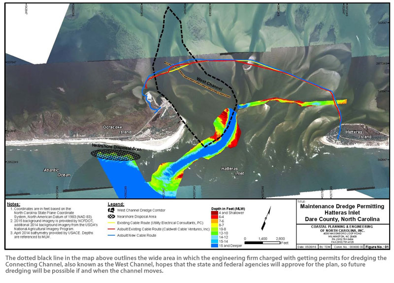
Dare County has hired a consultant to help secure permits for the U.S. Army Corps of Engineers to dredge the area around the Connecting Channel and the ocean bar, and the process is on schedule to have permits by spring, Dare County Board of Commissioners Vice-Chairman Wally Overman told the Waterways Commission.
The work would be paid for by Dare County, with matching funds provided by the state.
Overman also said that after consulting with partners and stakeholders, the county chose to have the project done under a one-year renewable agreement with the state and the Corps that would allow multiple opportunities to dredge in the same year.
“This option,” Overman said, “seems like an answer to our prayers.”
Outten said in a later telephone interview that the county is planning to have the Memorandum of Agreement ready to sign after the permits are ready, so that the one-year clock on the agreement doesn’t start running until the dredging project is permitted.
Charter boat captains, meanwhile, will be crossing their fingers that the inlet doesn’t shoal up any worse than it is.
Showing a slide of the Aug. 25 survey, Steve Shriver, team leader of the Corps’ survey section, pointed to an area in the channel near Buoy 12 where a hard right turn is required to get into Barney Slough.
What the survey showed, he explained, is that a shoal there is growing and pinching the channel.
“It’s making it an even more acute turn,” Shriver said. “It’s getting narrower as well as shifting to the east. We’ve been watching this for several years now. That area is really squeezing down.”
In a later telephone interview, Shriver that there is multiple shoaling in the area, going in different directions and creating several turns that the ferries need to navigate.
Shriver said that a new survey taken Tuesday morning would show what effect, if any, Hermine had on the conditions.
But Steve “Creature” Coulter said the storm really didn’t change much in the inlet – and it certainly didn’t improve anything.
“Four boats ran aground this last weekend,” he said, referring to the Connecting Channel that runs from Sloop Channel on the backside of Ocracoke to the inlet gorge.
Local boaters ignore the Coast Guard buoys and follow good water with their own poly ball marker, he said, but it’s operators of out-of-town vessels who can easily get into trouble.
“The buoys that are there are in the wrong place . . . The problem is, people see the buoy, run to them and run aground. There’s a marked channel with two or three shoals in it.”
Coulter, a Hatteras charter boat captain, said that he understands that the Coast Guard has been slammed since the storm and may have to pull the buoys because of the difficulty of remarking the channel. But the situation leaves captains in a lurch.
“It’s damaging our business enough as it is – the perception that people are getting when they say they pulled the buoys at Hatteras, “ he said. “That’s not an inviting option to have.”
But Coulter emphasized that he does not blame the Coast Guard, which is hindered because it cannot survey the channel because it is not federally authorized.
“The ocean bar is OK,” he said of the current conditions. “What our problem is is not getting across the bar. The problem is once you get inside the gorge.”
Invariably, the commission members drift back to a comparison of maintenance of Hatteras Inlet versus that of Oregon Inlet, and despite the new faces, this meeting was no different. Authorization to dredge in Hatteras, limited to “best water,” is more restrictive than that at Oregon Inlet, where dredging is permissible all over the inlet, and funding available for Hatteras is more limited.
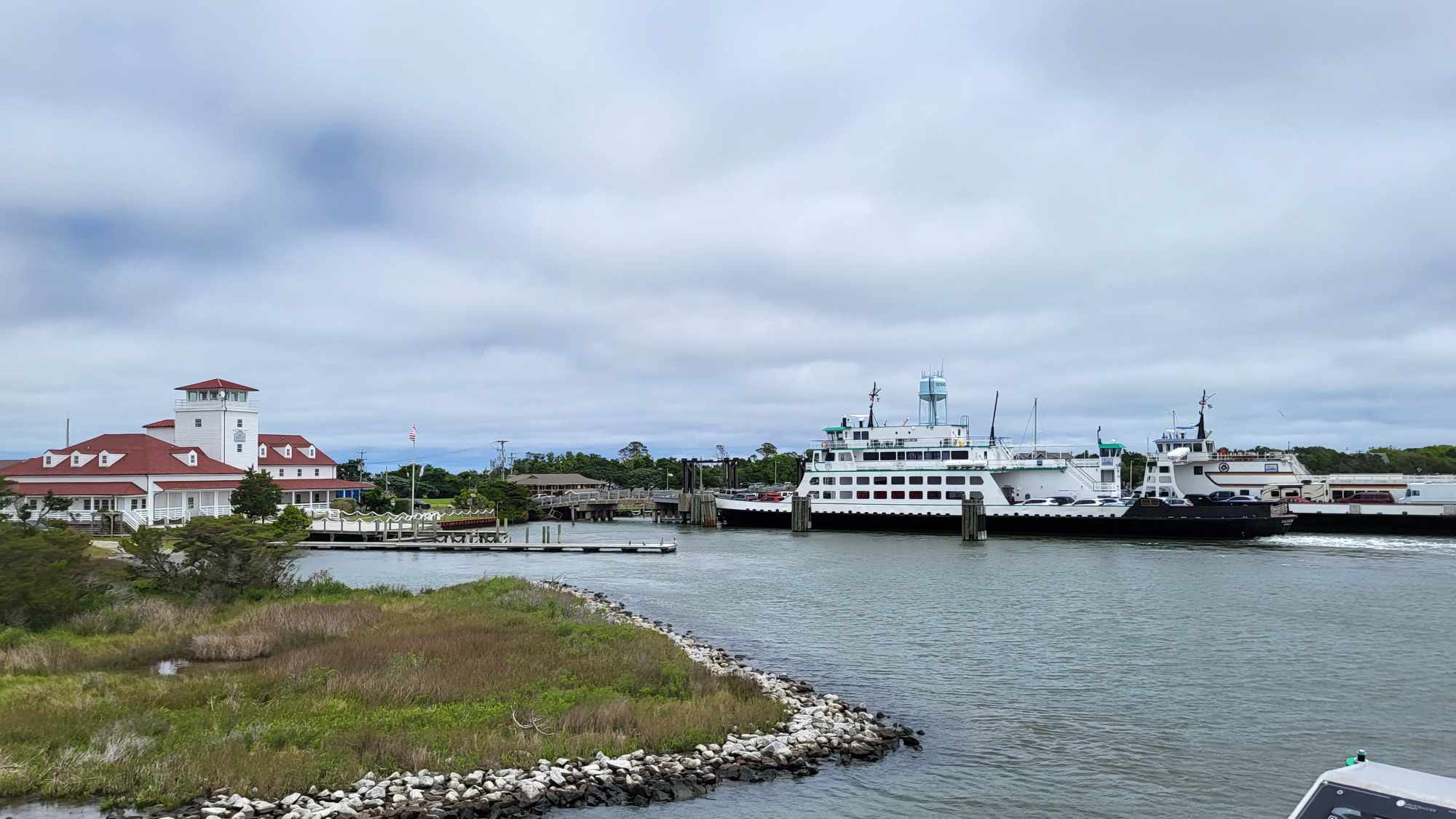
And even when work by the federal dredge is done in Hatteras, channels are carved to a 100-foot width, compared to Oregon Inlet’s 400-foot authorized width, leaving just inches between 46-wide ferries when they have to pass in the same channel.
“The original (authorization) document says follow the best water,” Coulter said to Roger Bullock, Army Corps of Engineers chief of navigation. “Couldn’t the best water have changed?”
Bullock: “We argue this every time.”
Coulter, with a smile: “I know.”
Bullock said that, unlike Oregon Inlet, Hatteras Inlet is in the category for smaller bodies of water that have less traffic and smaller vessels. The irony is that Oregon Inlet today is mostly used by charter and average-size fishing vessels, and Hatteras Inlet is crossed all day every day by huge vehicular ferries.
“It’s about fishing,” he explained about Hatteras Inlet. “We’ve had folks up in the beltway recognizing that it’s multi-use channel.”
The next meeting of the commission is at 7 p.m. on Oct. 12 in Buxton.


