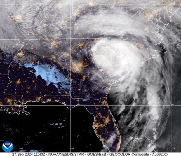
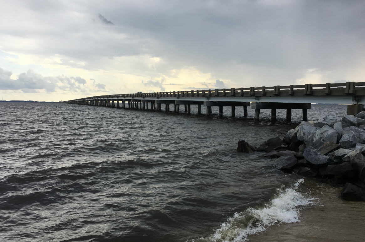
Outer Banks is keeping an eye on Matthew
Hurricane Matthew, which became a named storm just two days ago, unexpectedly strengthened overnight and is now a Category 3 cyclone with winds of 120 mph.
According to the National Hurricane Center’s 2 p.m. advisory, Matthew was in the Caribbean, just 85 miles north of Columbia, South America, and was heading west-southwest at 12 mph. And, while the storm is many miles from Cape Hatteras, it is forecast to make a sharp turn to the north over the weekend and perhaps threaten the Outer Banks by late next week.
The Hurricane Center says a more westward motion and a slowdown in the forward speed is expected tonight. Then, as the steering currents change, Matthew is forecast to turn toward the west-northwest by Saturday night, followed by a turn toward the northwest by early Sunday. Eventually, the path will become more northerly.
Current models are beginning to converge, showing the hurricane threatening Jamaica, then Cuba, and eventually the Bahamas by Wednesday.
From there, Matthew’s path is less clear and depends on when and where the current systems influencing our weather move by next week. At this point, the hurricane could be a threat all the way from Florida to Cape Cod.
Some models bring it very close to eastern North Carolina and the Outer Banks late next week, perhaps Thursday or Friday, still as a very strong hurricane.
The Hurricane Center has been tracking Matthew since it came off the coast of Africa as a tropical wave last week and it looked like it might stay to the south in the tropical Atlantic. It became a tropical storm just Wednesday afternoon when aircraft flying into it discovered 60 mph winds. It became a minimal hurricane just Thursday afternoon, but rapidly intensified overnight.
Dare County emergency director Drew Pearson issued an email statement this afternoon on the storm.
“I’m certain many of you are already closely watching Matthew,” he said. “Just like our partners at the NWS, I encourage everyone to continue to keep a close eye on this storm over the weekend.
“It’s never too soon to start thinking about the things you will need to do, at work and at home, should Matthew make that turn and bear down on our coastline next week,” he added. “Even when there are no storms looming in the Caribbean, everyone should have a properly stocked disaster kit on hand along with a solid emergency plan.”
Pearson noted that hurricane preparedness tips can be found at Ready.Gov and ReadyNC.
Interests along the Outer Banks should keep up with the latest forecasts from the Hurricane Center and the local National Weather Service Office in Newport/Morehead City.
Meanwhile, the local Weather Service has issued a beach hazard statement for a high threat of rip currents and dangerous shorebreak with a surf height of 4 to 6 feet along the Outer Banks today — and possible “nuisance” flooding at high tide this evening. High tide is about 8 p.m. this evening.
With various tropical systems hanging around offshore during September, the rip current threat has been high along the Outer Banks more days than not. And the Weather Service warns that it will stay high this week as Hurricane Matthew approaches.
Rip currents are most likely around low tide, which is around 2 to 3 p.m. through the weekend.
Beach-goers should use extreme caution if swimming in the ocean. There have been five drownings this summer — two this month — in the Cape Hatteras National Seashore, all associated with rip currents.
And the National Park Service and local rescue squads report there have been many rescues and close calls all month long.
For local weather information, go to http://www.weather.gov/mhx/. The page has links to the tropical forecast. You can find the beach forecast, including the rip current forecast on the Island Free Press home page — at the top right. Click on the icon with the beach umbrella.


