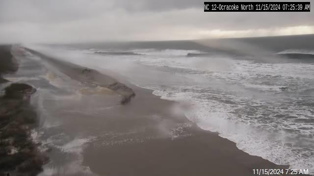
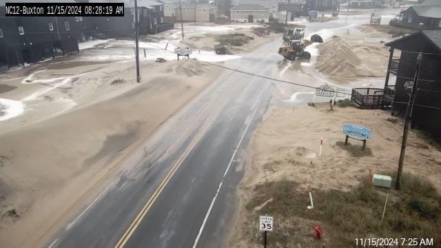
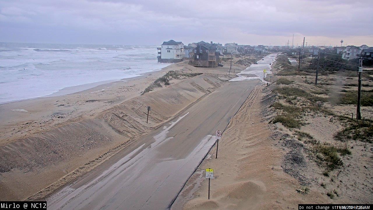
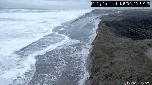
Risk of Direct Threats from Michael Increases, Beginning Thursday
The risk of direct threats from Michael continues to increase across eastern North Carolina, but some uncertainty still exists in the track forecast beyond day two, per the Tuesday morning briefing from the National Weather Service Newport / Morehead City Office.
Michael is expected to strengthen to a major hurricane and make landfall in the Florida Panhandle on Wednesday, then weaken to a tropical storm and track through the Southeastern United States.
Trends in Tropical Storm Force wind speed probabilities are increasing, with the earliest arrival of Tropical Storm force winds for the Outer Banks forecast for Wednesday night into Thursday morning.
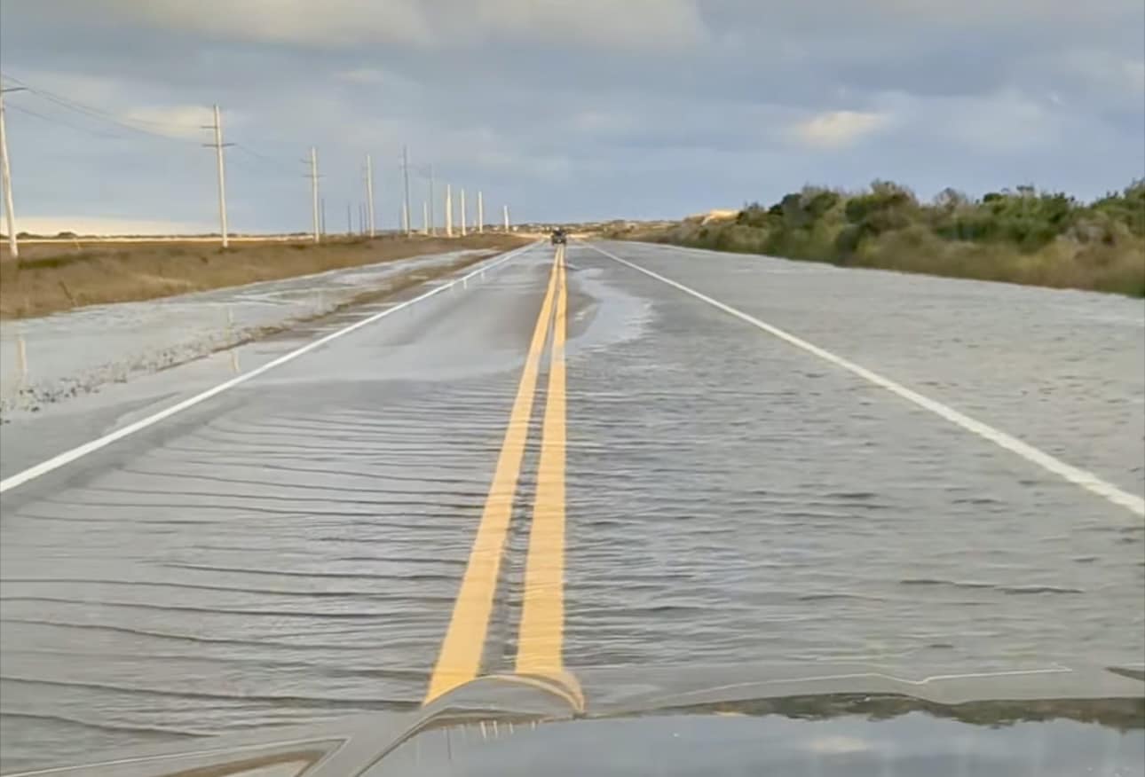
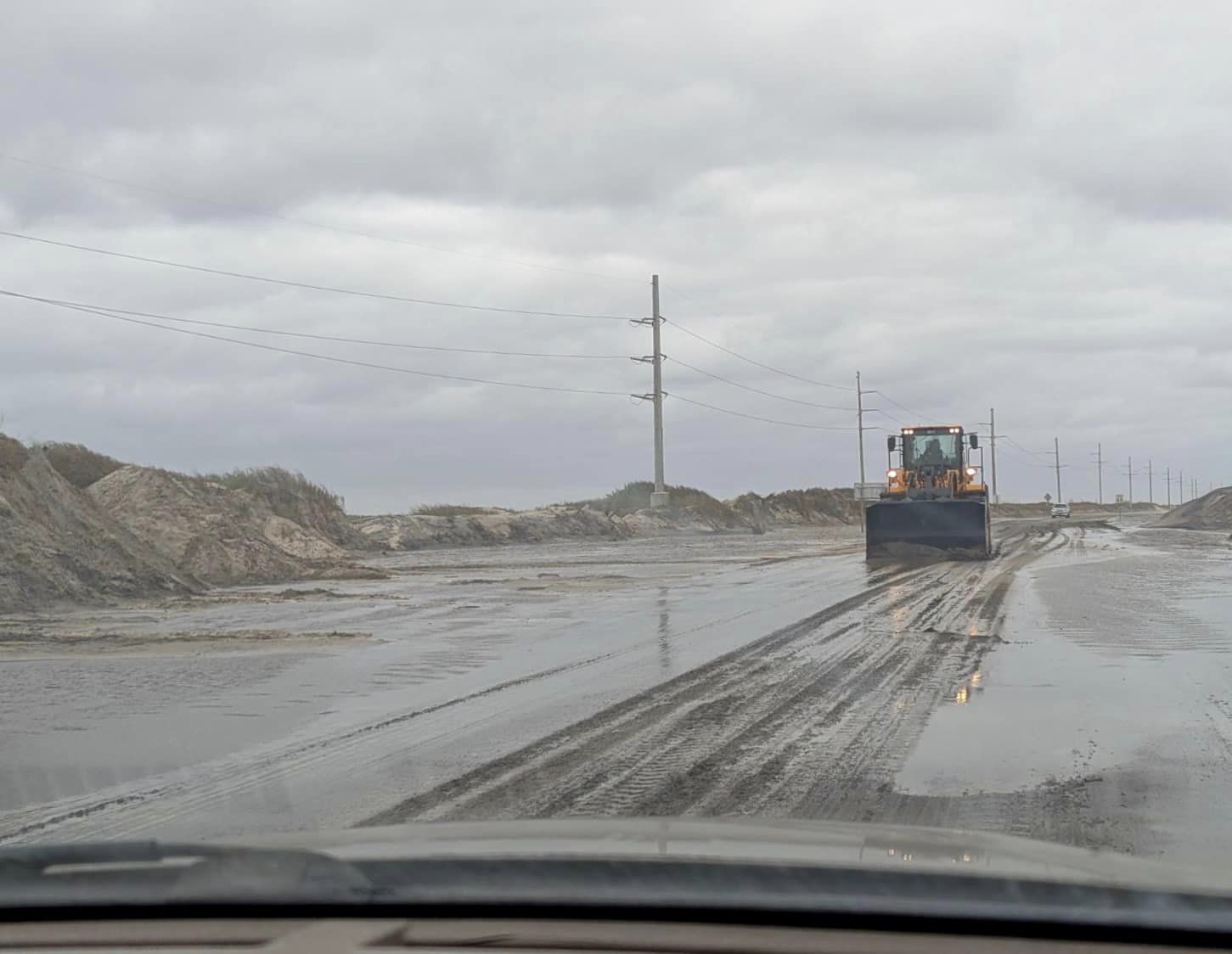
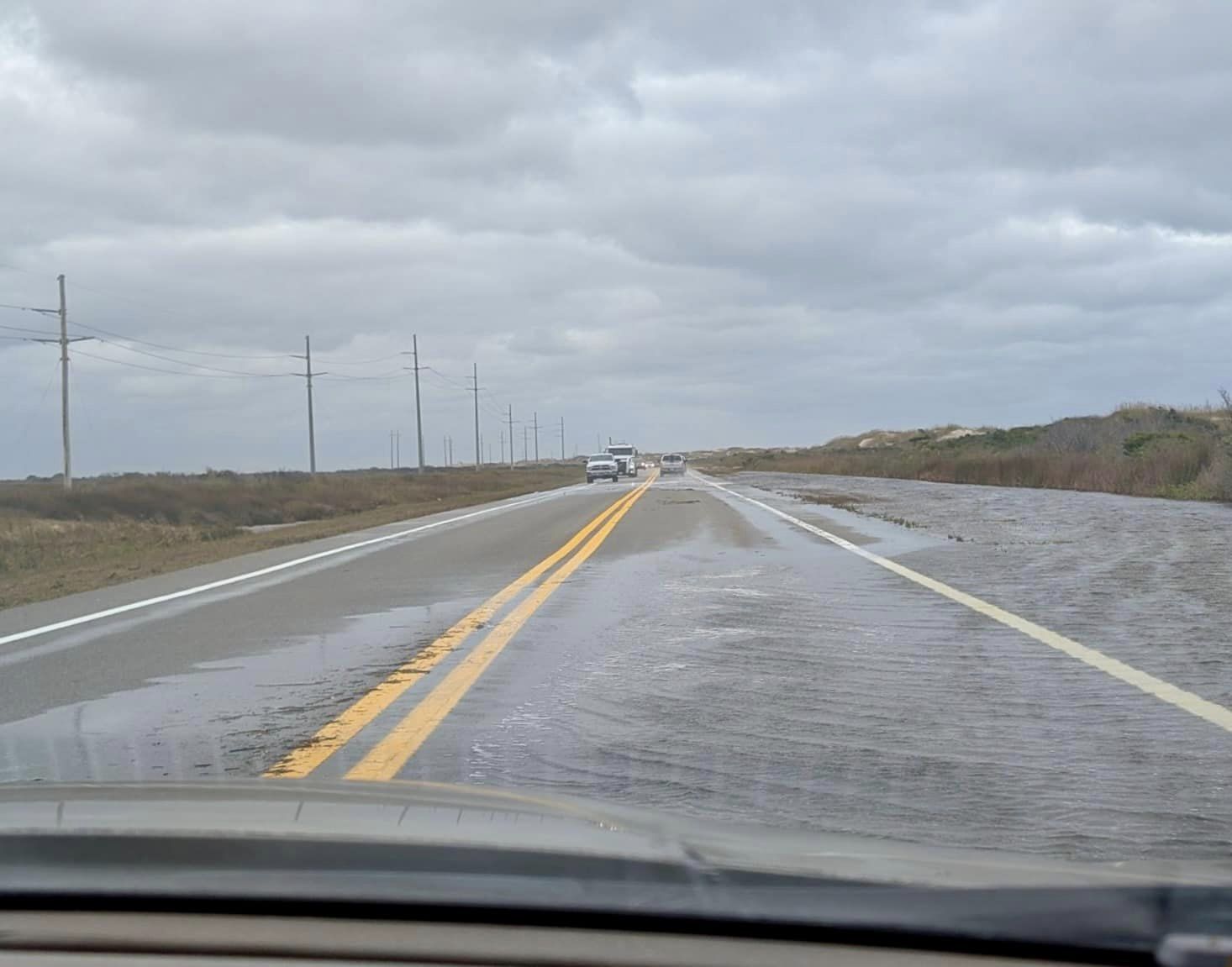
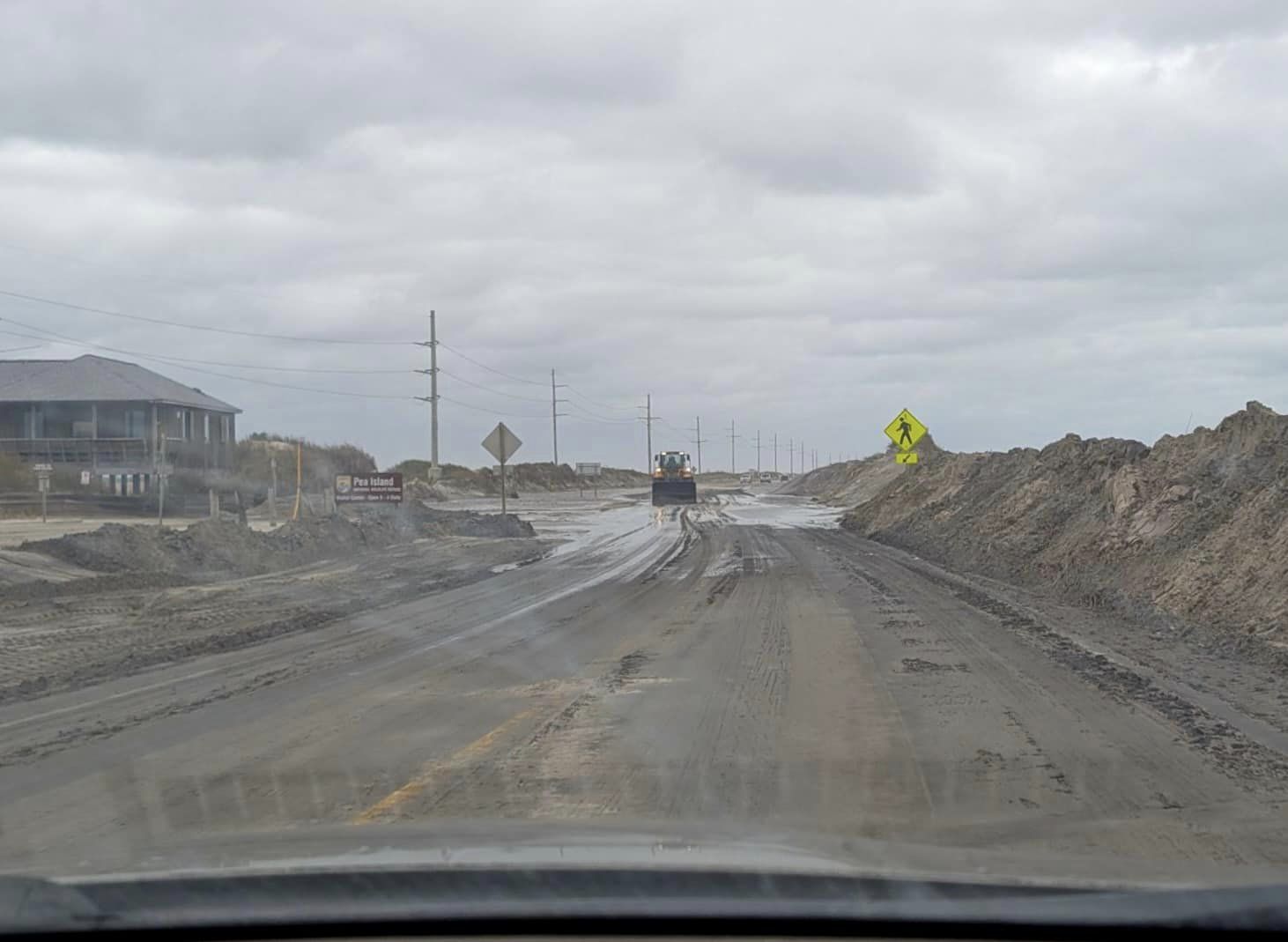
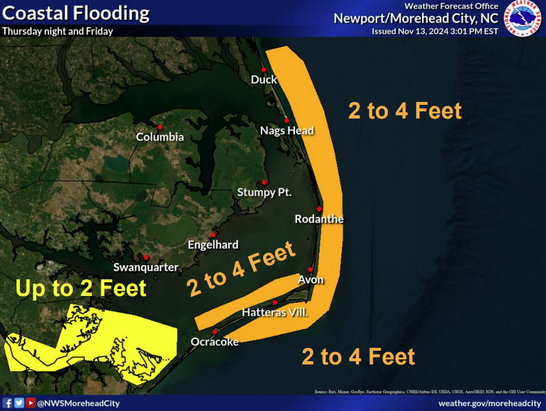
Periods of heavy rain are expected Wednesday through Friday, with 1-1.5” inches of rain currently forecast for Hatteras and Ocracoke islands. Though it is still too early for specifics on possible storm surge inundation, the highest likelihood of storm surge will be on the soundside of the Outer Banks, if the current track continues.
There is a high threat of rip currents for Tuesday all along the Outer Banks, and the high threat is likely to continue late through this week.
For more information, visit www.weather.gov/mhx for weather forecast info, or the National Weather Service office in Newport / Morehead City’s Facebook page, https://www.facebook.com/NWSMoreheadCity/.


