Coastal Flooding is expected to peak with Monday morning’s high tide, per NWS update
Stronger winds through Monday could bring more extensive coastal flooding impacts, especially for oceanside areas north of Cape Hatteras, per a Sunday afternoon update from the National Weather Service Newport / Morehead City office.
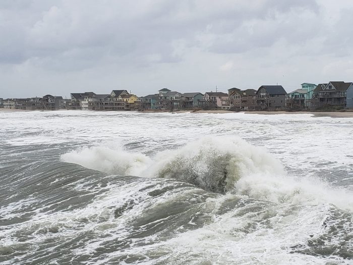
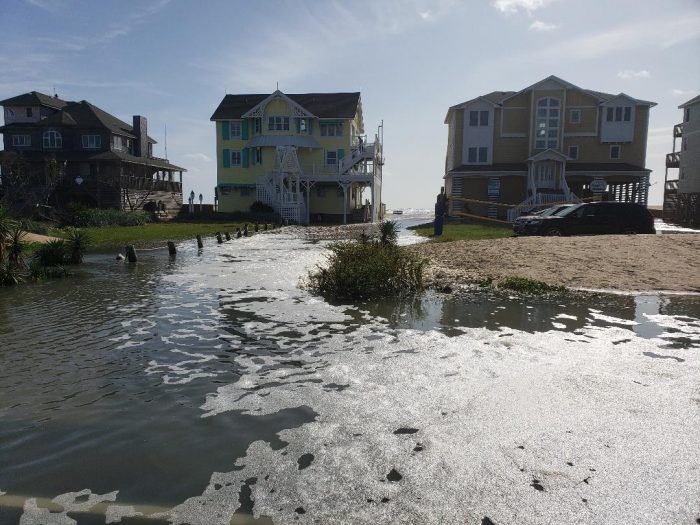
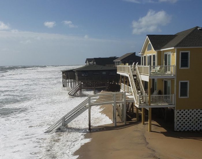
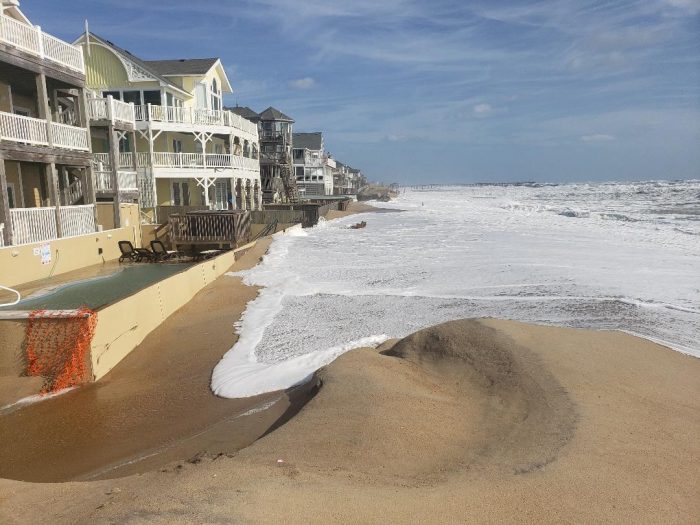
Oceanside impacts on Hatteras Island, and soundside impacts along the southern Pamlico Sound including Ocracoke Island, are expected to continue through Monday’s a.m. and p.m. high tide cycles. Water levels and tides will be higher than the Outer Banks has experienced all week, and water levels are expected to peak during the morning high tide on Monday.
High astronomical tides, increasing swell from distant Hurricane Teddy, and a prolonged strong northeast wind will last into early next week. Winds will begin to subside late Monday, along with the most significant coastal flooding impacts. The pip current risk will remain elevated through the beginning to middle of next week.
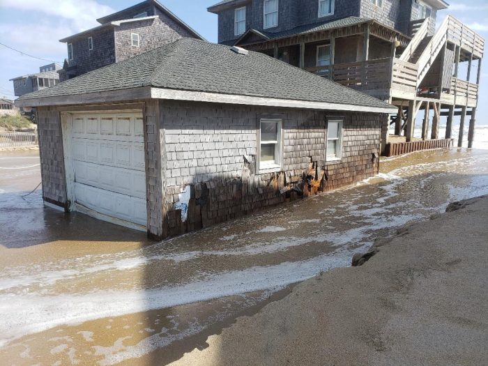
Beach erosion is also likely with 7-to-12 foot breaking waves.
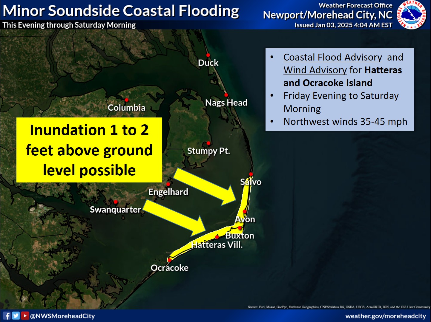
A Coastal Flood Warning remains in effect for the Northern Outer Banks and Hatteras Island, and a High Surf Advisory is in effect from Duck to Surf City.
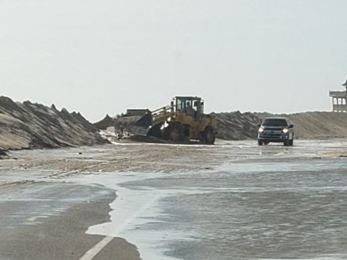
N.C. Highway 12 is currently closed between Oregon Inlet and Rodanthe, and barricades are in place in Rodanthe and on the north side of the Basnight Bridge. Per NCDOT, no reopening estimate is available at this time, but crews are on the scene to try and reopen the highway as soon as possible.
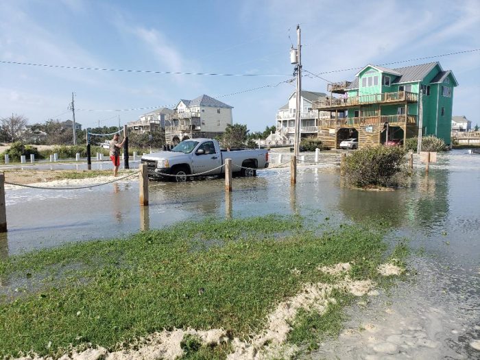
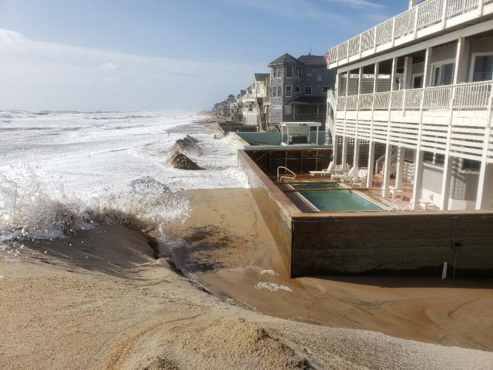
2-4 feet of ocean overwash was reported in the Ocean View Drive area of Avon, Mirlo Beach, north Buxton, north Hatteras, Pea Island, and northern Ocracoke Island as of Sunday afternoon.
Travelers are advised to use caution and to drive slowly, as saltwater can severely damage vehicles. DO NOT travel unless absolutely necessary.
The following areas are especially prone to ocean overwash and will likely be impacted over the next several days:
- South of the Basnight Bridge to the Pea Island Visitor Center
- Mirlo Beach area, on the northern edge of the tri-villages
- South of the Avon Pier along Ocean View Drive
- At the north end of Buxton
- Between Frisco and Hatteras Village
- Along Pole Rd., south of Ramp 55 in Hatteras village
- Along the north end of Ocracoke island
The next high tide is around 10:30 p.m. on Sunday.
For more information on the local forecast, visit www.weather.gov/mhx for weather information, or the National Weather Service office in Newport / Morehead City’s Facebook page at https://www.facebook.com/NWSMoreheadCity/.
