Community Gets First Look at 7.6 Mile Buxton / Frisco Pathway
The Hatteras Island community got a sneak peek at a new 7.6 mile pathway that is proposed for Buxton and Frisco villages at an Open House that was held on Thursday, March 21.
If and when the project comes to fruition, the pathway will extend from Buxton Back Road to the Frisco Bathhouse just south of Frisco, and will be the last piece in a series of pathways and walkways that extend throughout Hatteras Island.
“This is the last push,” said Dare County Planning Director Donna Creef. “Hatteras village has taken the initiative with [constructing] their own pathway, so we are steadily working towards getting an entire pathway through the villages of Hatteras Island.”
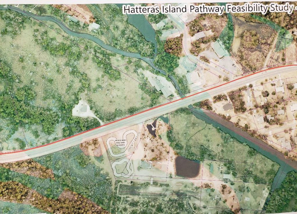
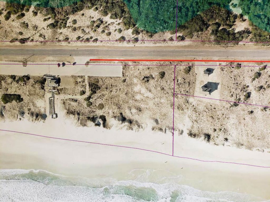
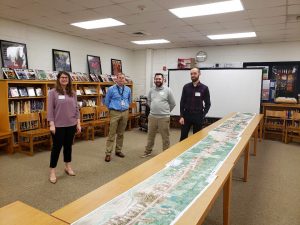
During the Open House, residents and visitors got an up-close view of the proposed pathway in its entirety, via a line of aerial images that were spread out on multiple tables. The images stemmed from a feasibility study which was applied for by the Dare County Board of Commissioners in October 2018, and which was conducted by engineering firm VHB.
“This is just the first stage, but we have spent a lot of time discussing this, and this is a very close rendering of what the pathway will be,” said Creef.
In creating a 7.6 mile pathway that bypasses wetlands, businesses, landmarks, and streams, there were some extra considerations along the way. The pathway jets out closer to N.C. Highway 12 when it encounters area businesses in order to protect parking, and crosses from the oceanside to the soundside in several busy locations.
“We’re trying not to impact local businesses in any way as we go along,” said Brian Edwards of VHB.
In addition, the pathway will also likely include long sections of boardwalks in wetland areas, (up to 1,500 feet long or so), which will hover above the terrain, and boardwalks will also be used in areas where there are streams present.
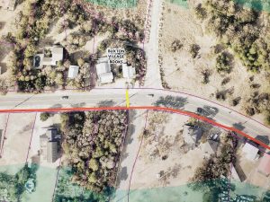
Multiple crossings will also be included throughout the pathway, both in spots where the path shifts from the oceanside to the soundside, and at local landmarks that are frequented by visitors and residents alike, like Conner’s Supermarket and the Buxton Village Bookstore.
“These are areas with a large volume of traffic, so they are a logical place for crossings,” said Edwards.
The final plan for how these crosswalks will work is still in limbo, however, stakeholders are considering using a flashing beacon to make them more visible to traffic.
“We are trying to install some sort of flashing crosswalk,” said Creef. “People have a tendency to ignore crosswalks, so we want to make them as obvious as we can.”
The eventual construction of the pathway is still a long ways away. Now that the feasibility study has been completed, the draft will be submitted to the NCDOT and subsequently reviewed, and then the final plan will be presented to the Dare County Board of Commissioners – likely at a late summer or early fall meeting.
And then, there is the question of funding. Creef says that the Outer Banks National Scenic Byway has been a champion of the project, helping to secure funding for the feasibility study, and there are potential sources of funding that can be contacted which have helped with similar pathway projects.
“The Outer Banks Visitors Bureau has been supportive in the past, and we will be asking NCDOT for funding, and pursuing federal grants,” said Creef.
“These are the sources we have used for [previous pathway projects], and we have no reason to believe that this won’t be the case this time as well.”
In the meantime, the local support of the project was evident at the Open House, and along every step of the way thus far.
Edwards reports that when a team of VHB representatives initially scouted the site, and walked the proposed pathway route, they spoke with locals about the proposed pathway and what it entailed. “Everyone was supportive when we visited the site, and they felt like it was a long time coming,” said Edwards.
“The community has helped fund the feasibility study through donations, and when you have that level of commitment from the community, it helps to demonstrate local support when it comes to grants and funding,” said Creef. “It’s definitely a clear sign that this is a project that is important to our community.”
This sentiment was echoed at Wednesday’s Open House, where folks perused the lengthy row of maps outlining the project, and provided their own feedback and input on the plan through comment cards.
“The people I have talked to have had positive responses,” said Creef at the Open House. “The main message so far has been ‘let’s get this done.”
To View the Maps from the Buxton / Frisco Feasibility Study…
