Conditions begin to ease, but ocean overwash concerns will continue into Saturday

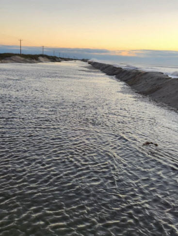
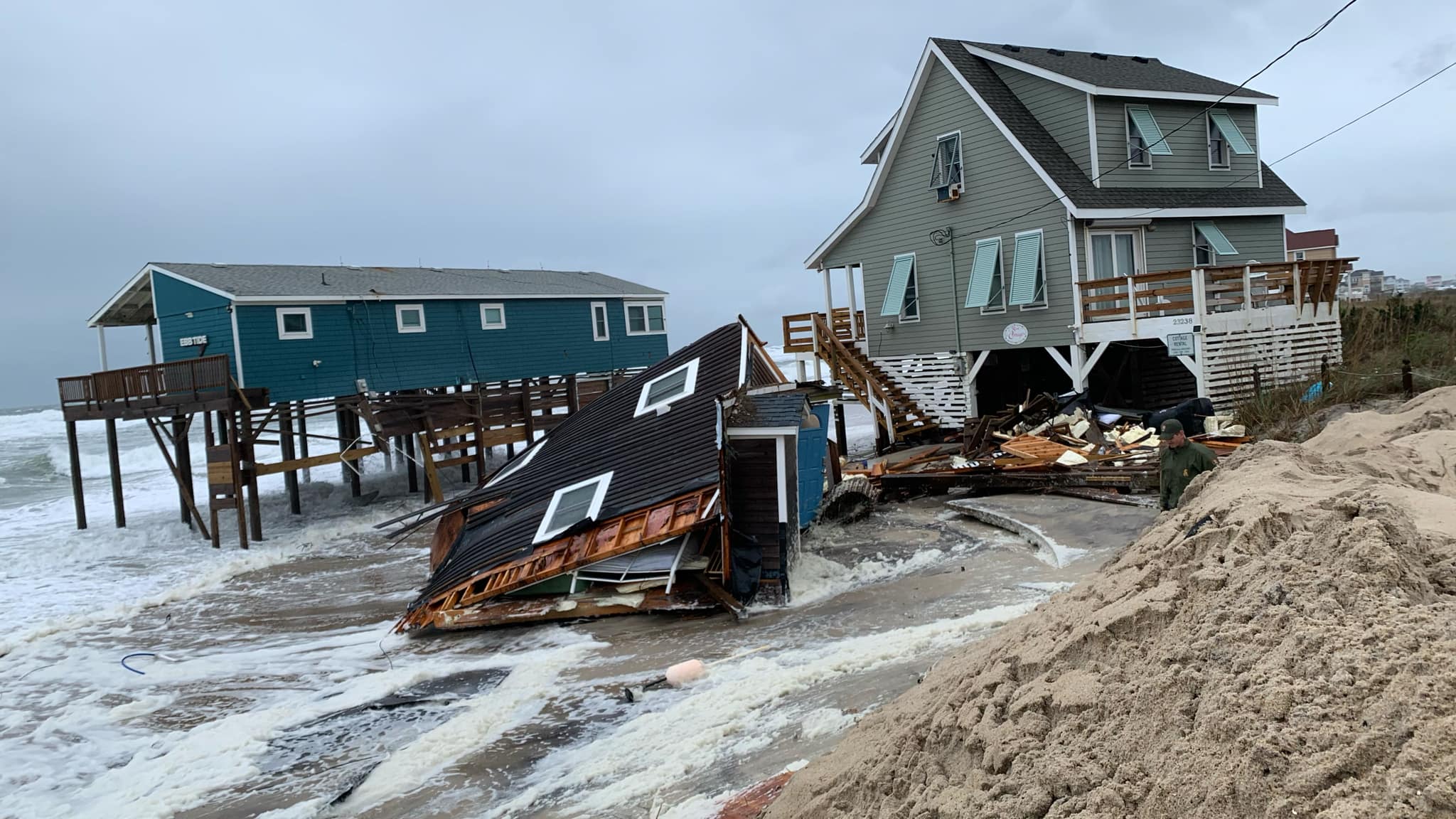
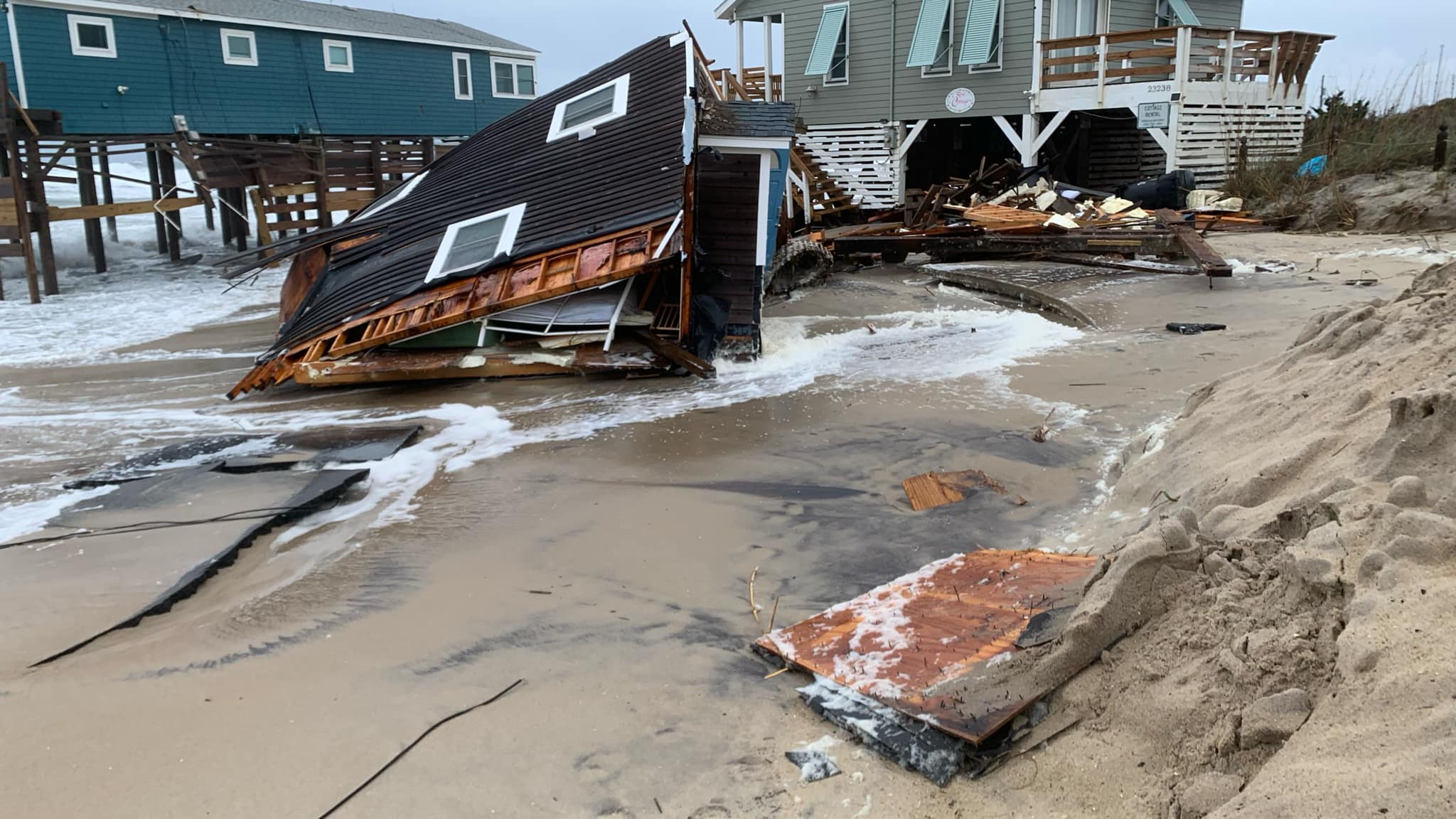
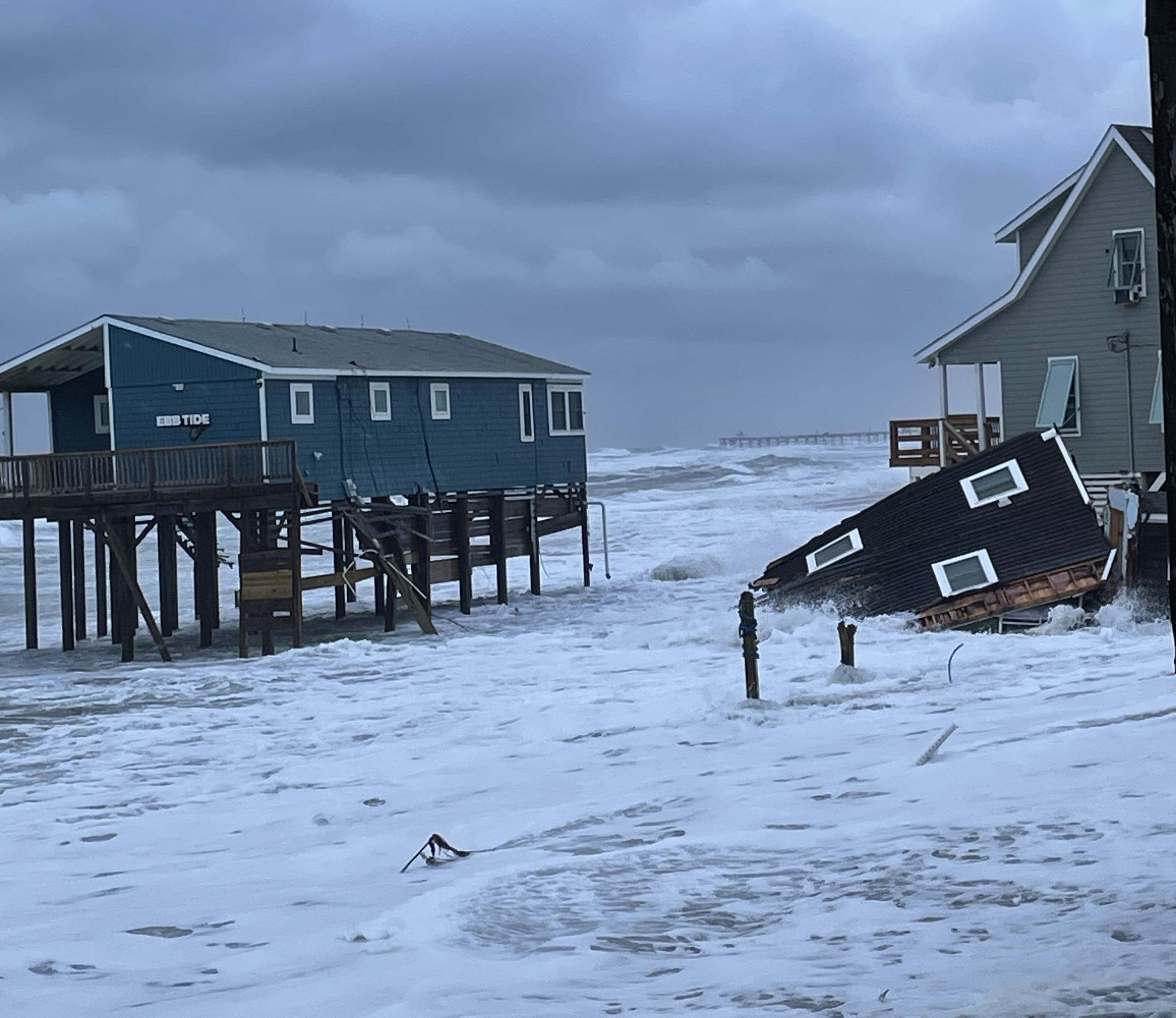
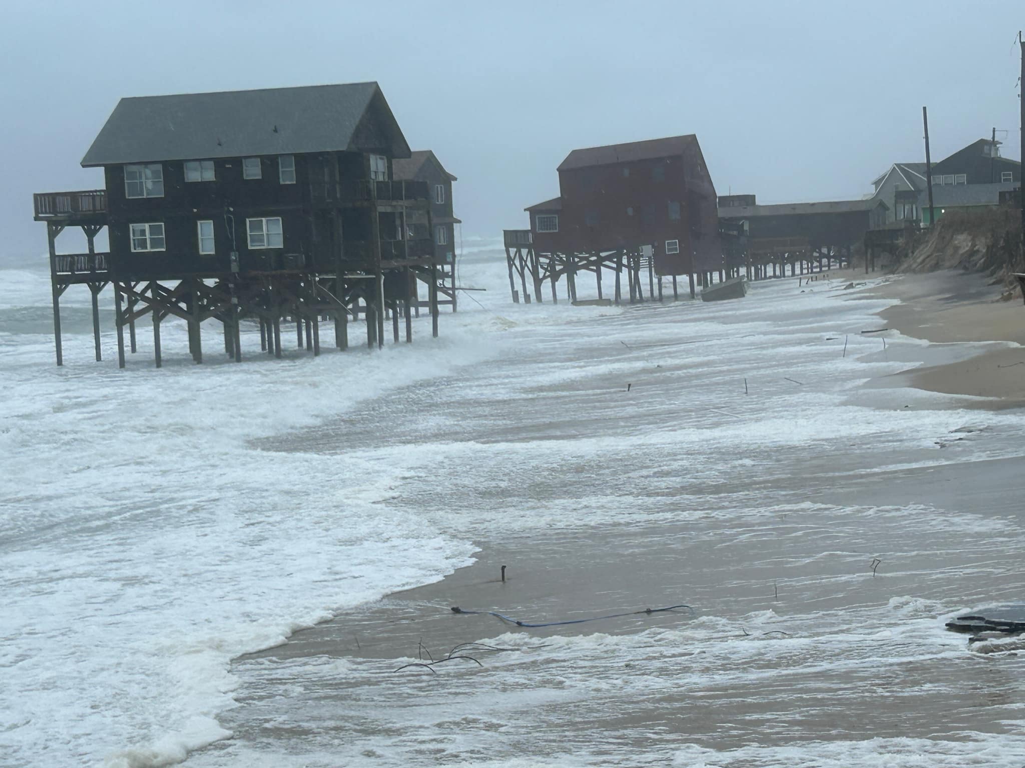
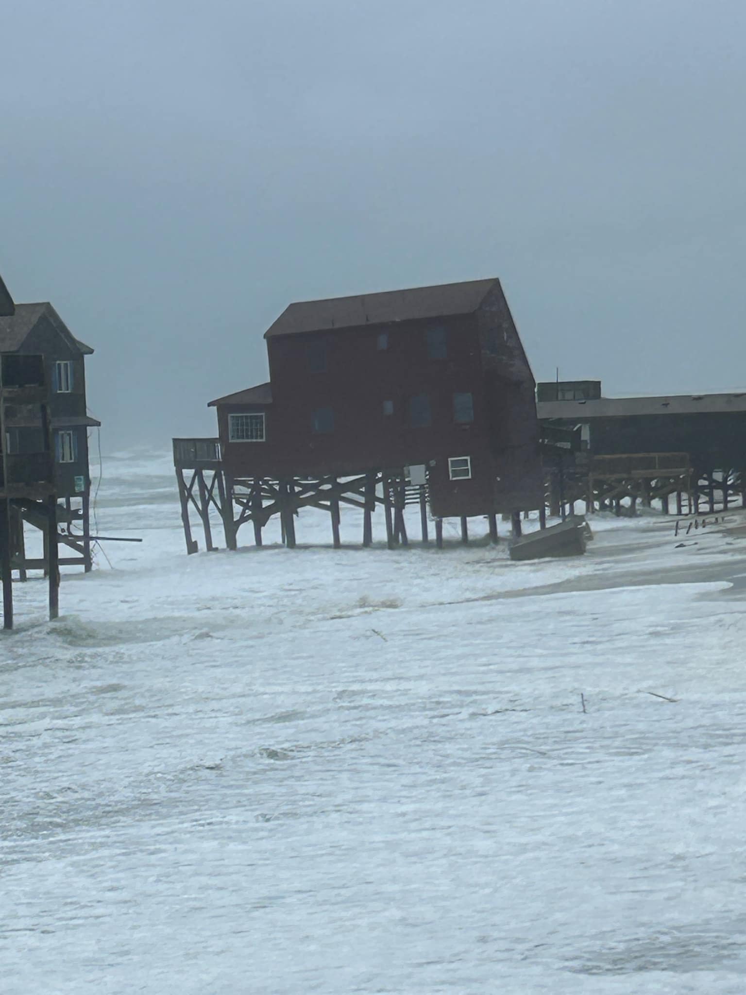
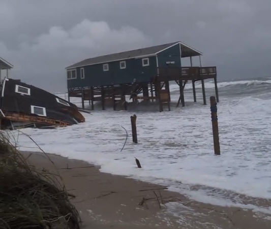
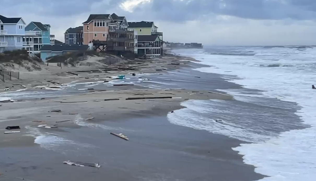
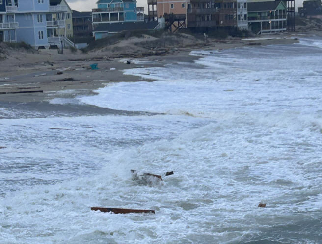
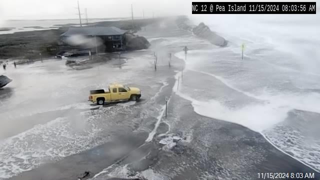
Though N.C. Highway 12 was not heavily impacted by Friday’s 8:30 a.m. high tide, and conditions are beginning to ease as Hurricane Lee continues its offshore northern trek, ocean overwash and coastal flooding will remain a possibility through Saturday, per an update from the National Weather Service Newport/Morehead City office.
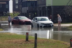
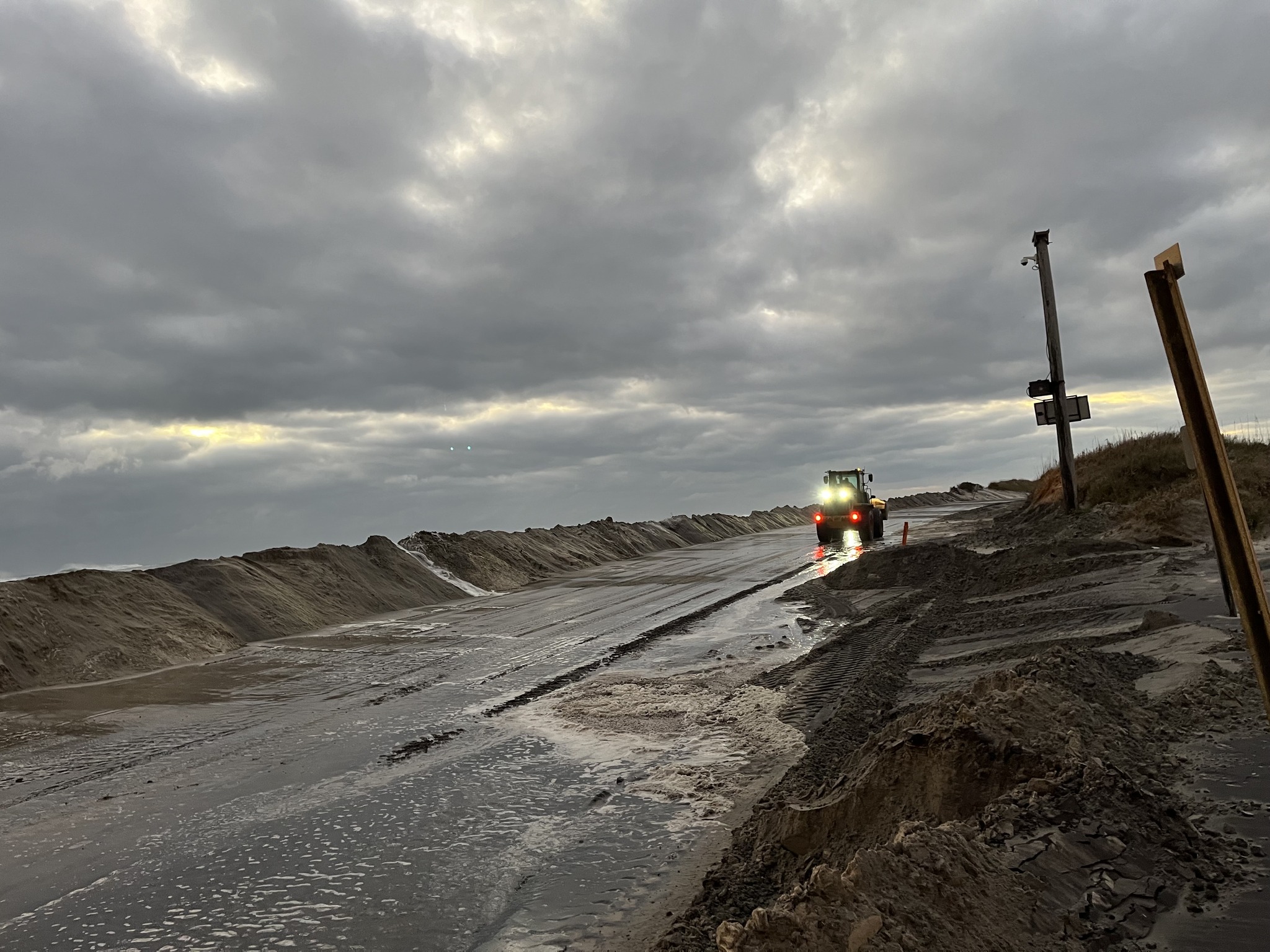
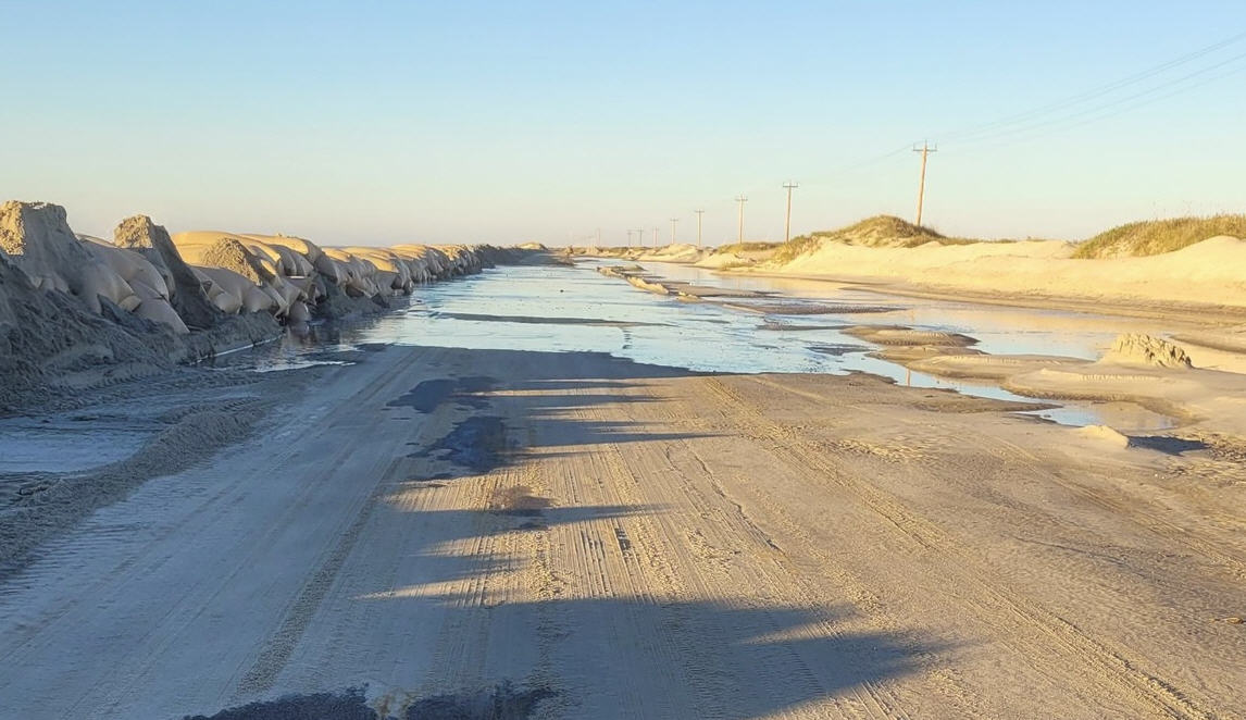
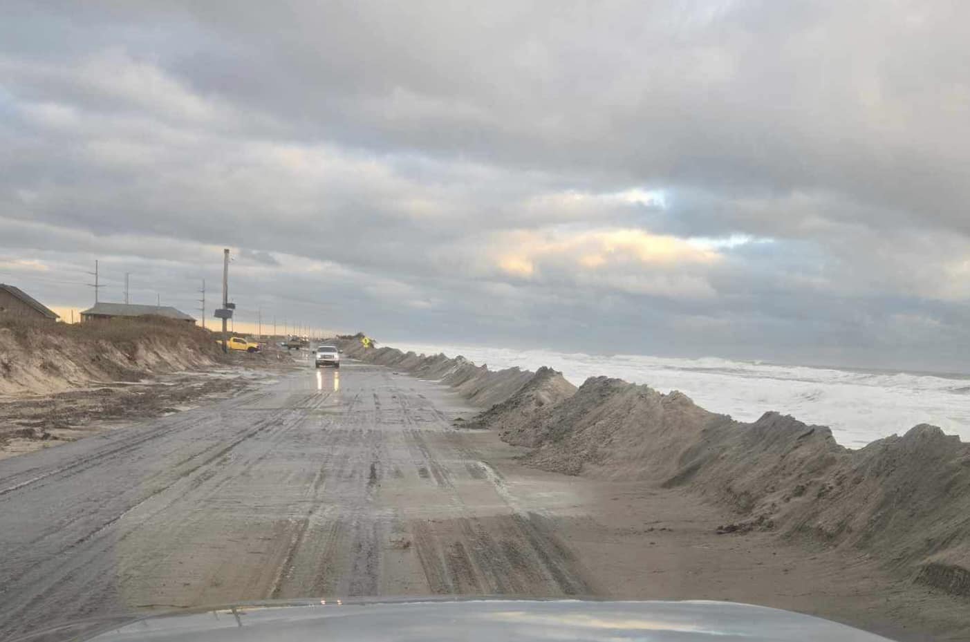
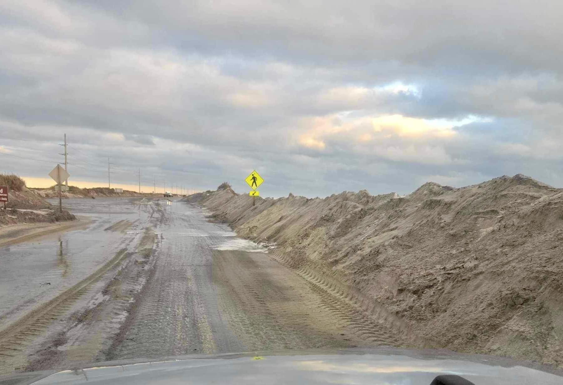
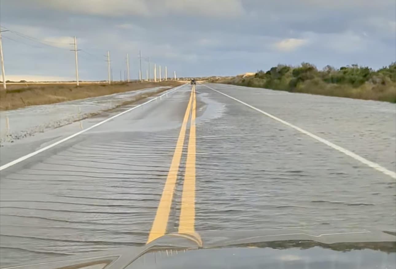
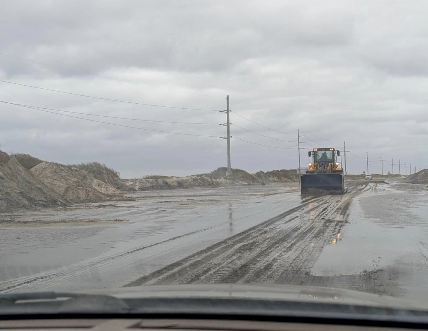
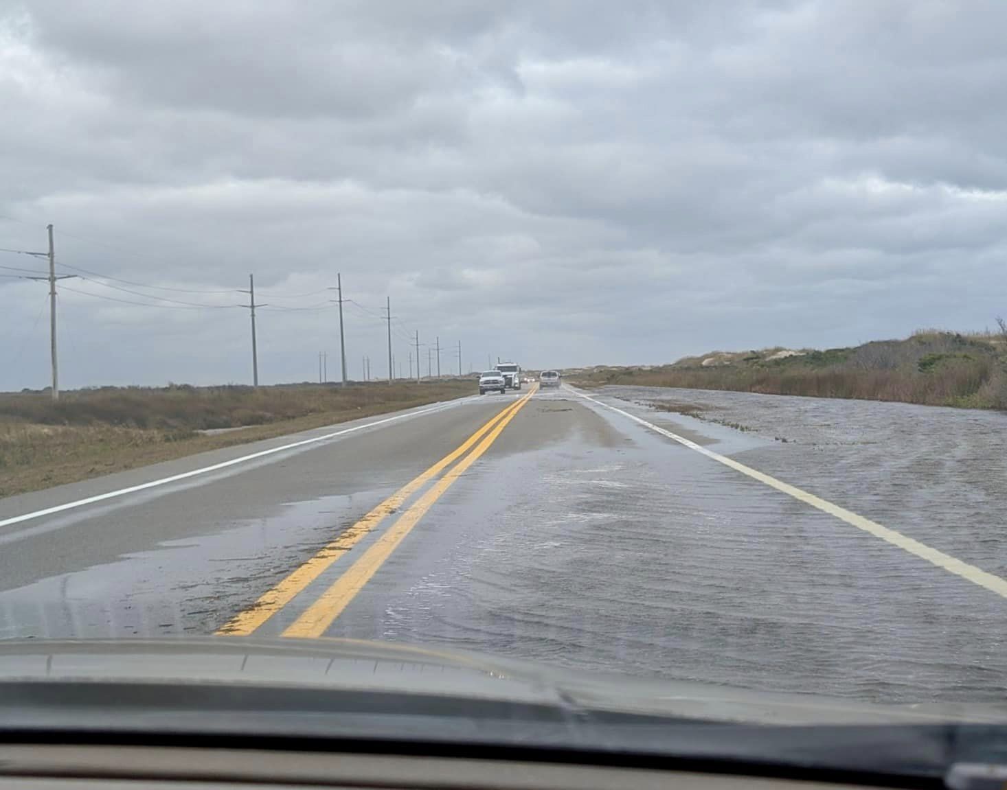
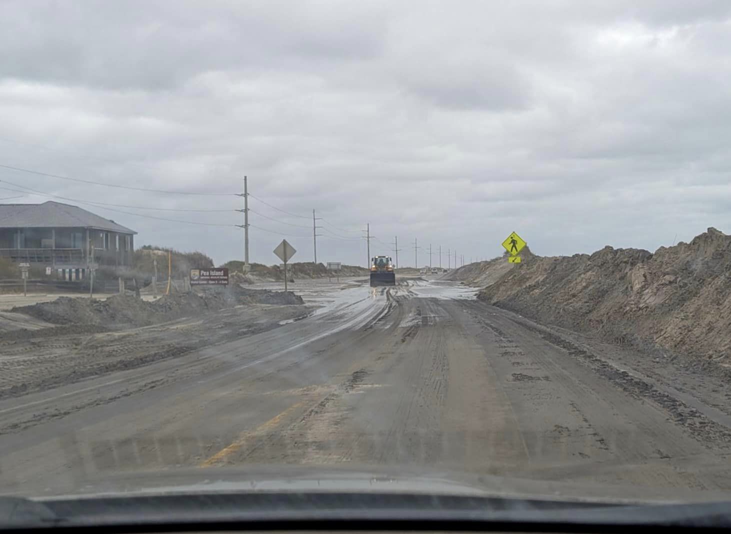
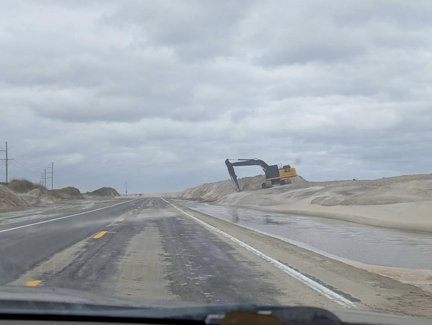
Hurricane Lee brought ocean overwash to minor portions of N.C. Highway 12 as well as secondary roads on Thursday night and Friday morning, however, the highway remains open and passable with some standing water and sand on Pea Island, northern Rodanthe, Buxton, and northern Hatteras village.
North Carolina Department of Transportation (NCDOT) crews are continuing to work to clear the roads as of Friday afternoon.
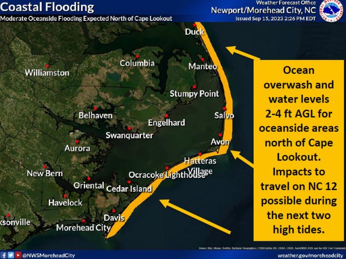
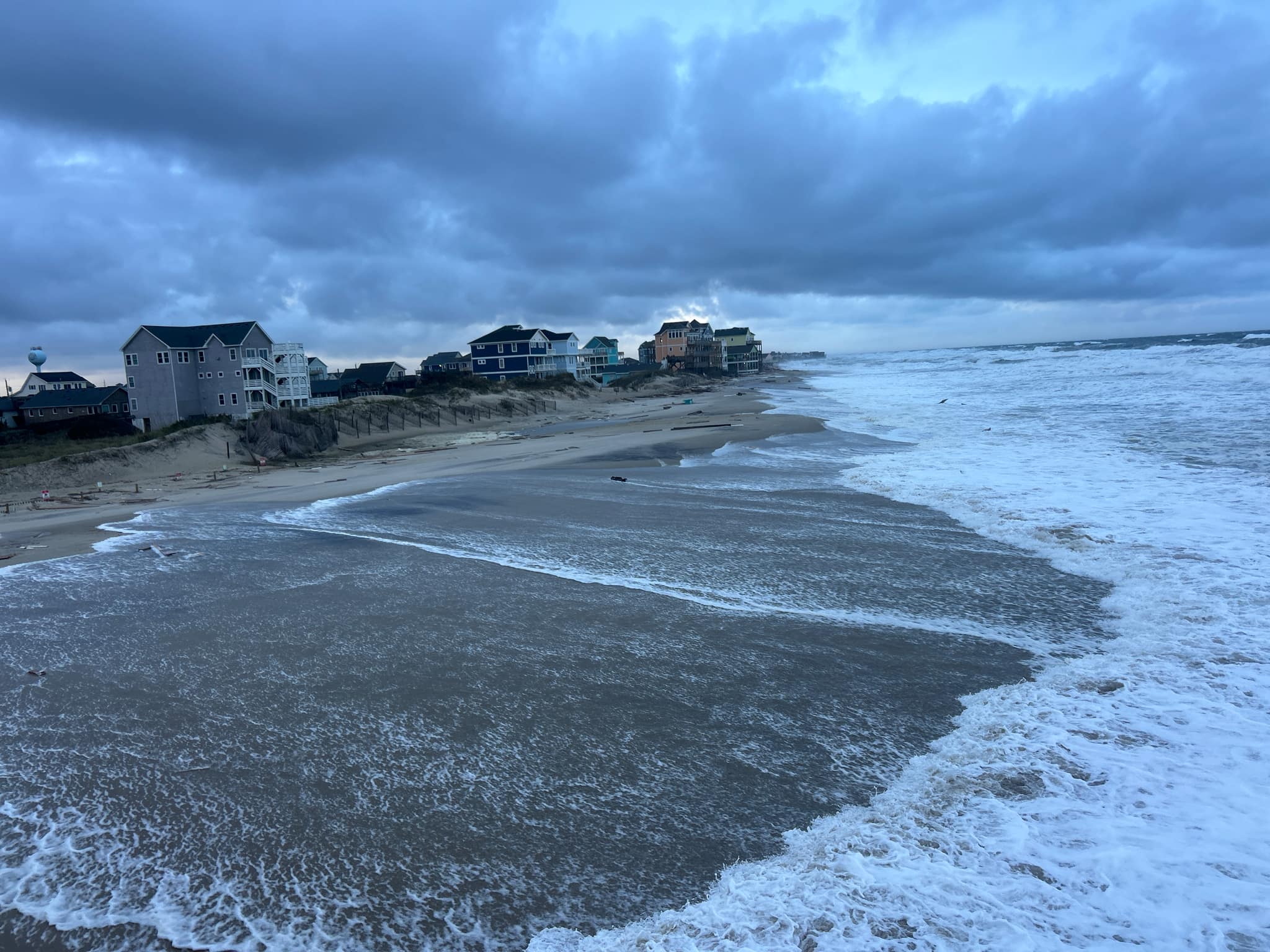
Ocean overwash will continue to be a threat for Hatteras and Ocracoke Islands, and oceanside flooding may occur during the next several high tide cycles. The next two high tides are at approximately 8:45 p.m. on Friday and 9:00 a.m. on Saturday, and conditions should begin to noticeably improve Saturday afternoon into Sunday.
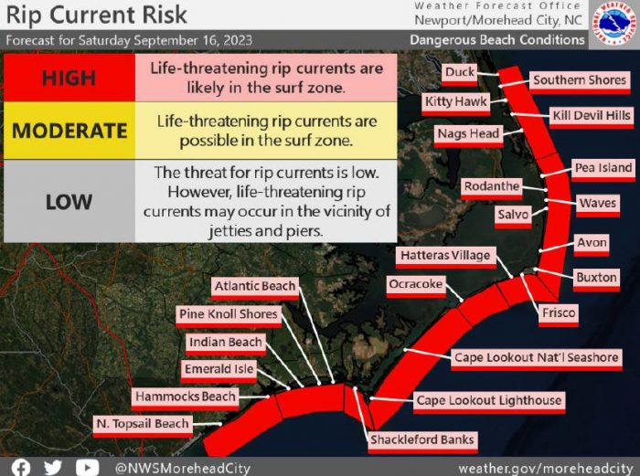
“Fingers crossed that the next two high tides will be uneventful from an overwash perspective. Ocean conditions will take some time to settle down,” stated Dare County Emergency Manager Drew Pearson in an emailed update. “Would anticipate a HIGH rip current risk through the weekend and possibly into early next week.”
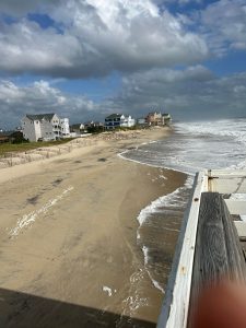
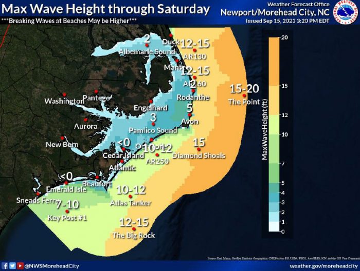
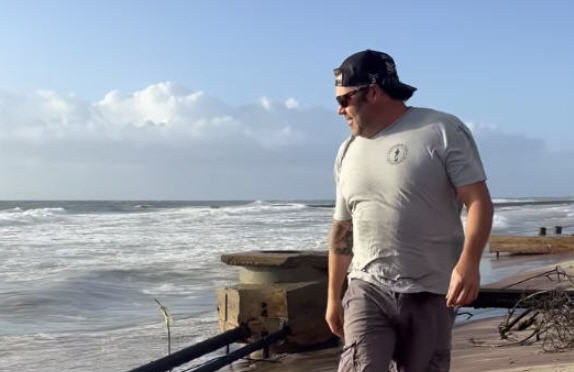
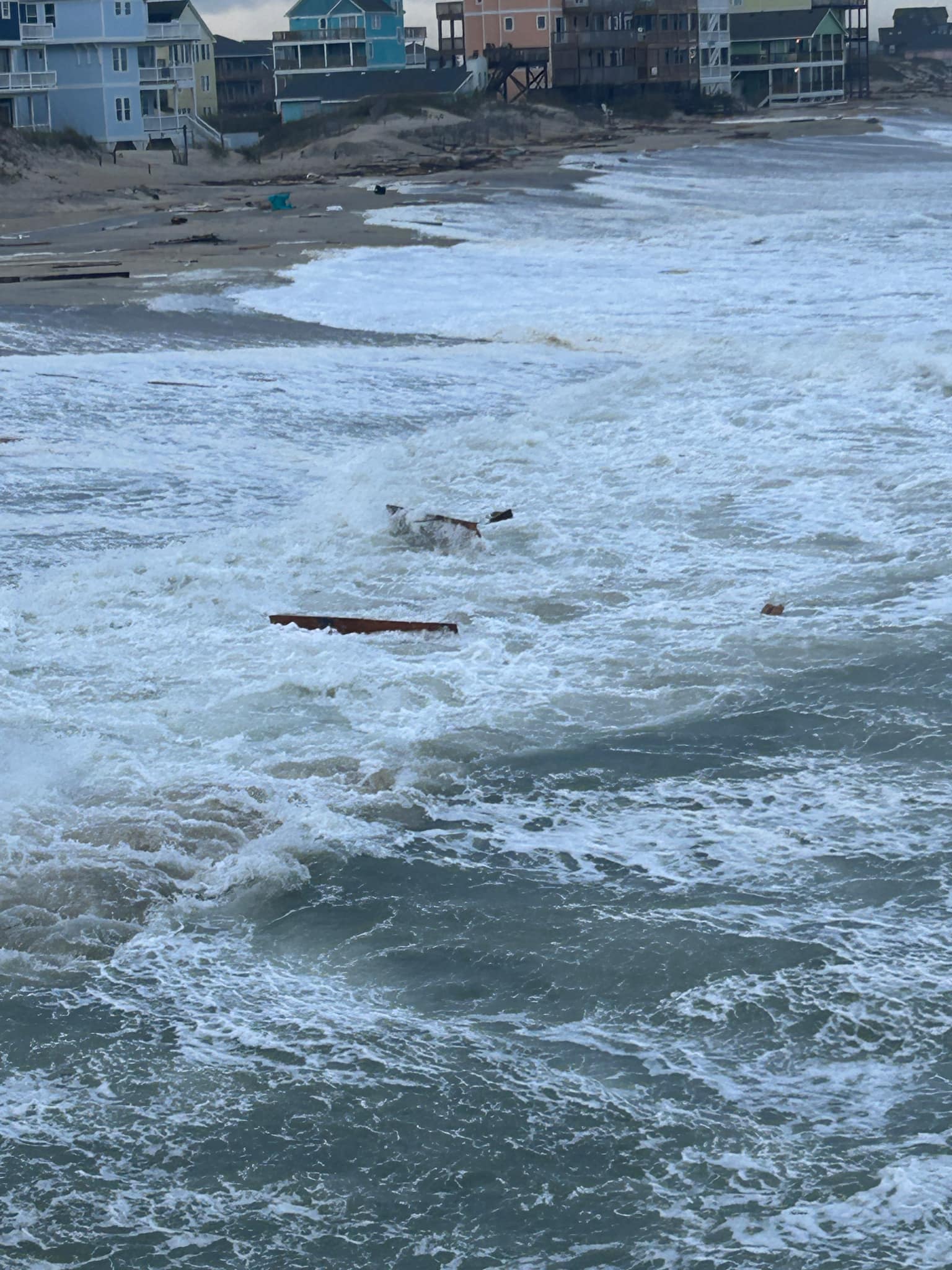
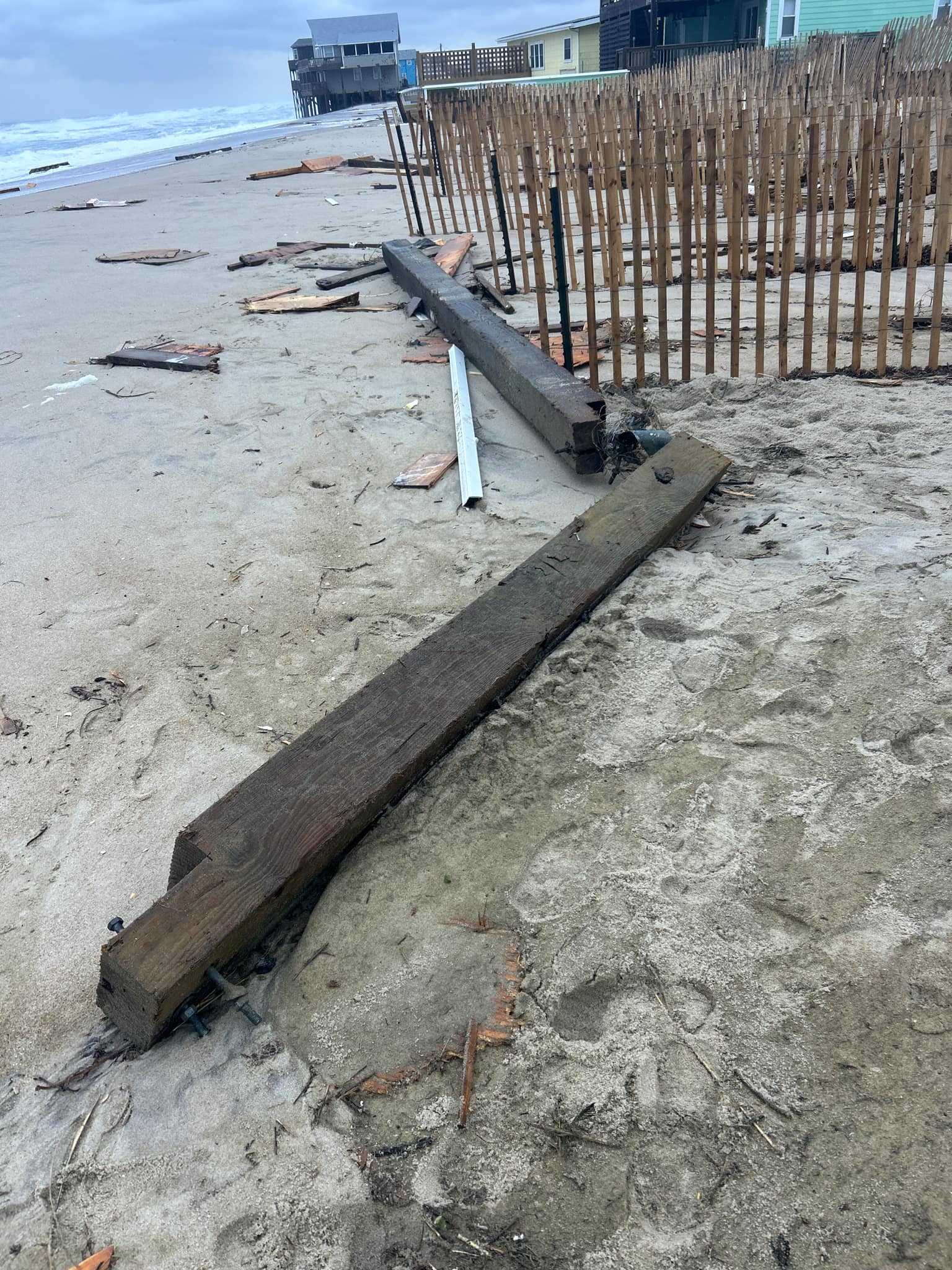
2 to 4 feet of flooding along the oceanside of Hatteras and Ocracoke Islands continues to be forecast through Saturday, especially in areas where the dunes are compromised. Hatteras Island could continue to see breaking waves of 7 to 14 feet in the surf zone, and significant beach erosion may impact ORV ramps and beach accesses.
There are no soundside impacts from Hurricane Lee expected at this time along the Outer Banks.
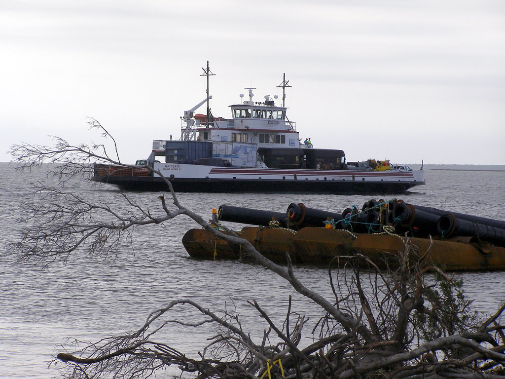
All Hatteras-Ocracoke ferries were running as scheduled as of Friday afternoon.
A high risk of rip currents remains in effect and will linger for the next few days. A high risk means that life-threatening rip currents are likely and beachgoers should stay out of the water.
The public should check surf and swimming conditions before heading to the beach, and the daily beach forecast at www.weather.gov/beach/mhx includes rip current risk levels, and information about other hazards along the shoreline. In addition, the public can visit Dare County’s Love The Beach, Respect The Ocean website for current rip current risks and additional info.
Visitors are also encouraged to sign up for text alerts from Dare County, ocean rescue agencies, and the National Weather Service by texting “OBXBeachConditions” to 77295.
