Hurricane, Storm Surge Warnings issued for Hatteras and Ocracoke islands
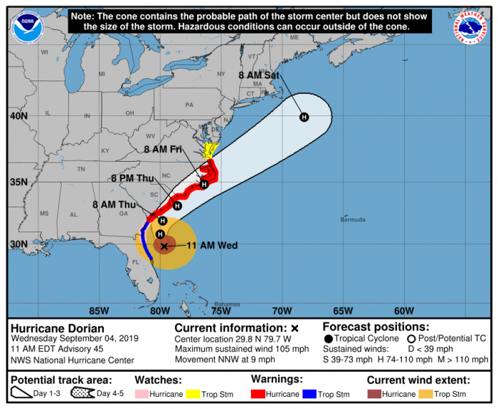
The Hurricane and Storm Surge Watches have been upgraded to Hurricane and Storm Surge Warnings for the Outer Banks, per the 11 a.m. Wednesday update from the National Weather Service.
A Hurricane Warning means hurricane-force winds are expected somewhere within the area within the next 36 hours. A Storm Surge Warning means there is a danger of life-threatening inundation, from rising water moving inland from the coastline, somewhere within the area within the next 36 hours 3-5 feet of storm surge continues to be forecast for Hatteras and Ocracoke islands. Initial storm surge impacts will be along the oceanside and will occur as early as Thursday. The threat will transition north and to soundside areas as the storm moves through the Outer Banks. Storm surge estimates are fluid, and the public can keep track of any changes via the National Hurricane Center’s Storm Surge Inundation Map.
Expected arrival of tropical-storm-force winds could arrive as early as Thursday or Thursday evening.
Hurricane Dorian remains a dangerous hurricane and is expected to move across or just offshore of the area Thursday night into Friday night. There is still some uncertainty regarding the exact forecast track, but significant impacts are expected across Eastern North Carolina given that Dorian is a very large system which will bring impacts well away from the center.
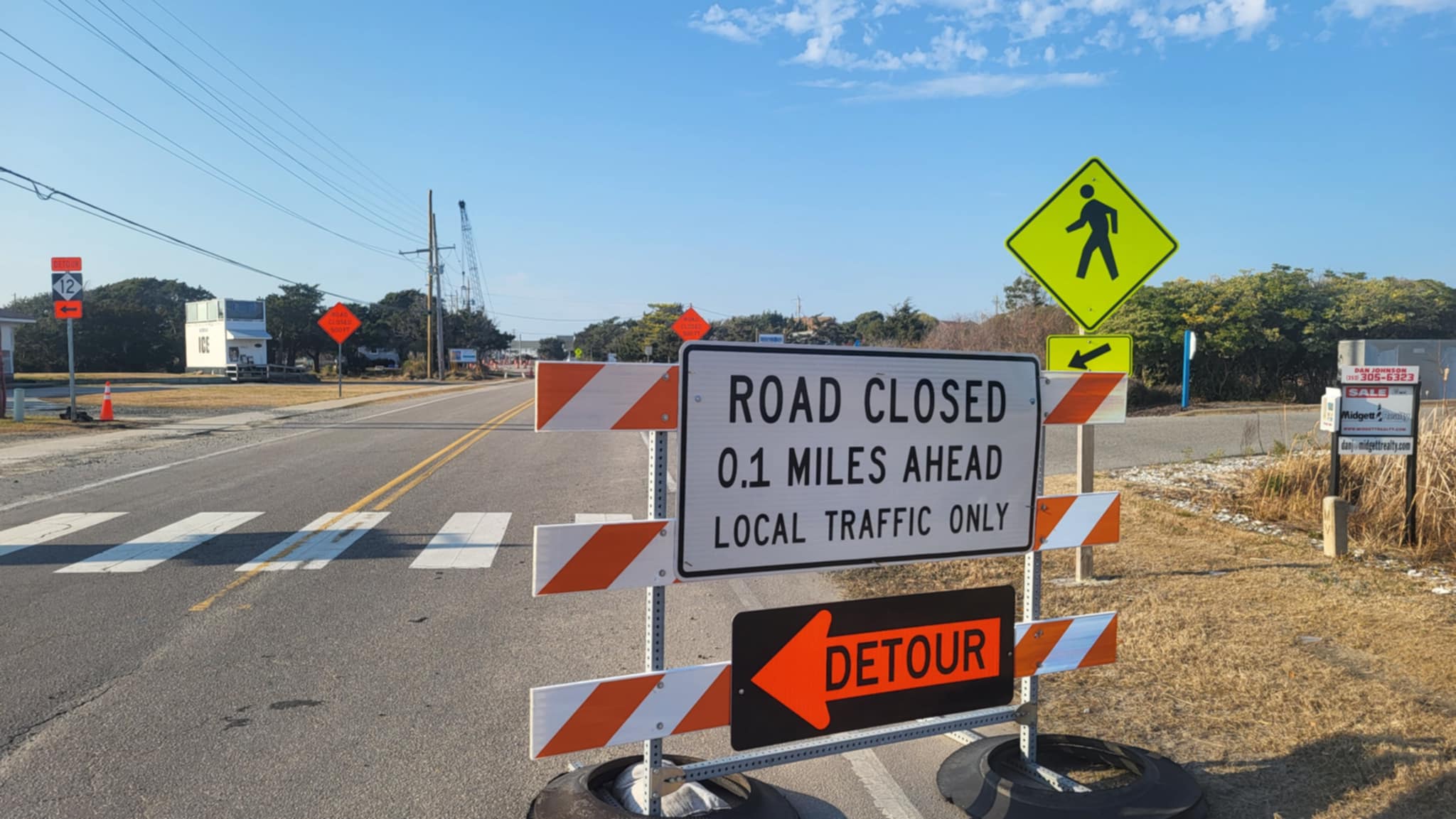
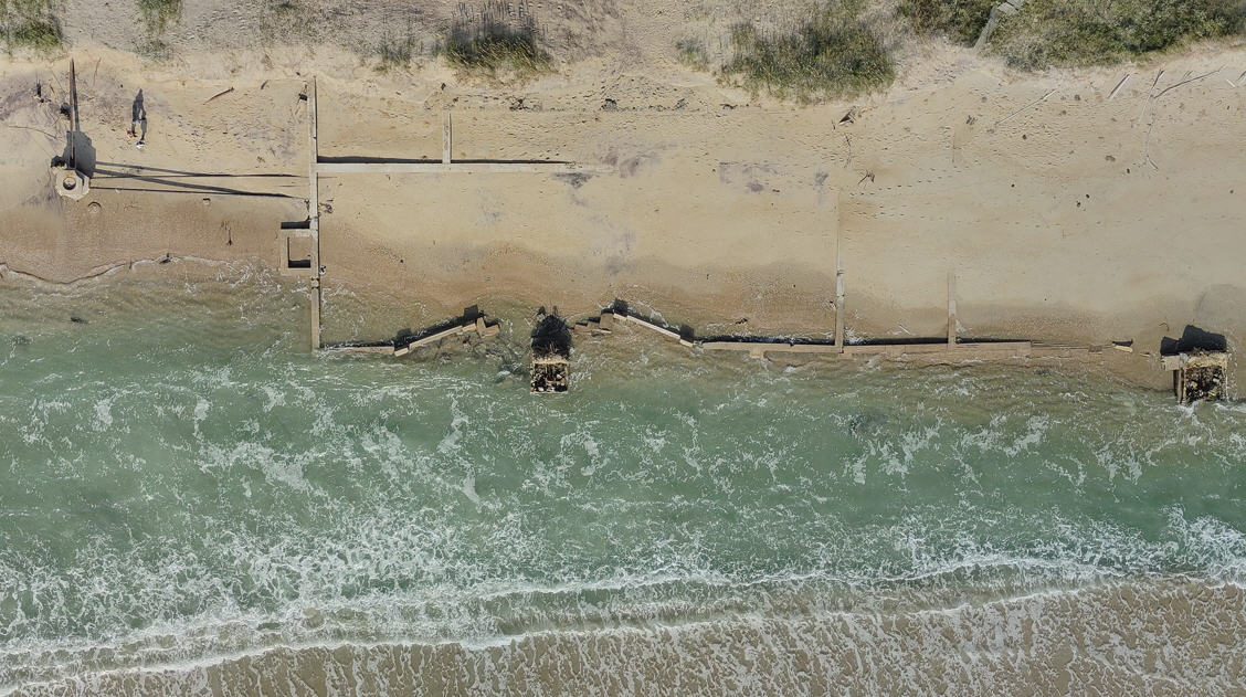
Very high surf and large breaking waves will likely result in moderate to significant beach erosion and ocean overwash along the North Carolina coast Thursday and Friday. Overwash and sound side flooding will likely cause issues on N.C. Highway 12 on the Outer Banks Thursday night through Friday night. Vulnerable areas could experience erosion or overwash for multiple high tide cycles.
Hurricane Dorian will produce very heavy rainfall across Eastern North Carolina, with widespread flash flooding possible. 5 to 10 inches of rainfall is expected across the area, with localized higher amounts along the coast. These heavy rainfall amounts in a relative short period of time will likely produce flash flooding across eastern North Carolina Thursday through Friday evening
The strongest winds are expected late Thursday night into Friday evening, with winds peaking late Thursday night into Friday evening.
Hurricane-force winds are possible for much of the area, but are most likely along the coast. Strong winds will have the ability to knock down trees, damage weak structures, and cause widespread power outages.
Isolated tornadoes are possible late Wednesday through Friday morning.
Very dangerous marine conditions are expected with seas 15 to 25 feet and higher. A high threat of rip currents will continue for all area beaches and it is advised to stay out of the water.
For more information on the local forecast, visit www.weather.gov/mhx for weather information, or the National Weather Service office in Newport / Morehead City’s Facebook page at https://www.facebook.com/NWSMoreheadCity/.


