Waterways Commission reviews a stalled dock project and new Coast Guard info system at June meeting
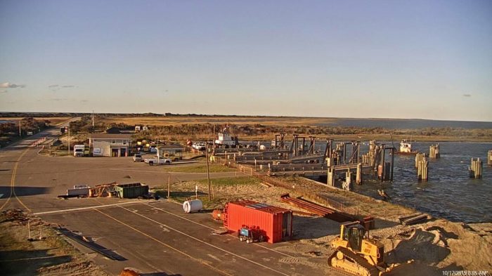
When the subject is the cost of dredging, “time is money” is an especially apt adage. That explains why members of the Dare County Waterways Commission have, for a year, pushed for the state Department of Transportation to build an additional slip at South Dock to save the $20,500-per-day dredges from commuting back and forth across Hatteras Inlet. But lost time constructing the project has spiked costs, and put its future in doubt.
Commission Chair Steve “Creature” Coulter, in asking for an update at Monday evening’s virtual meeting, still held out hope.
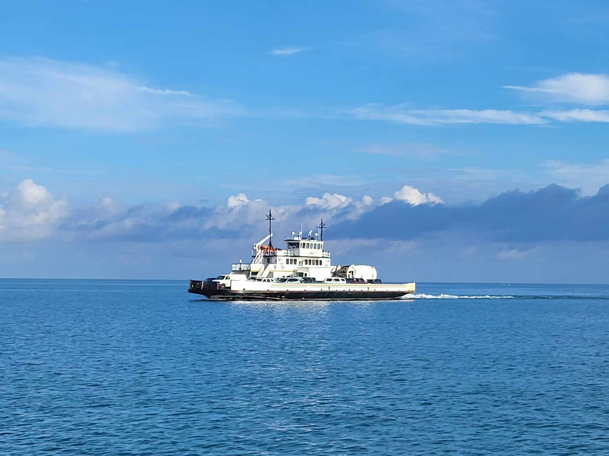
“What’s going on with the dock?” he asked Catherine “Cat” Peele, planning and development manager with the N.C. Ferry Division, who reiterated last month’s report that the department was no longer able to do the work.
Coulter responded: “But I was checking to see if DOT or the ferry division had revisited maybe putting a slip in there so we could all save a little money in mobilization costs.”
The schedule for the NCDOT dredge — which is committed elsewhere for at least 18 months — has not changed, Peele said, “and we would advise your county to look at a local contractor and work with the [Army Corps of Engineers.]”
Circumstances have changed considerably after Dare County first provided about $20,000 to DOT to install pilings at South Dock to allow the new hopper dredge, Miss Katie, and other dredges to tie-up overnight, eliminating the need to cross to and from the Hatteras docks to the Ocracoke side of the inlet to work. The Miss Katie, a public-private partnership, is expected to arrive this August in Dare County, which will be its home port.
The piling installation never happened, Waterways Commission administrator Barton Grover said in a later interview.
“We had budgeted for the original amount,” he said.
Part of the project delay was because the state dredge, (which would have had to dredge South Dock before pilings could be installed), was in dry dock for months being repaired. Meanwhile, the pandemic and later the Ukrainian war created higher material costs and supply chain disruptions.
After it was determined that 13-pile wooden clusters would block the ferries, it was decided to use three sets of steel tubes, which would be more durable and would eliminate the need for a walkway. But they were more expensive, as were costs for hiring a private dredge contractor.
“The market has gone up,” Grover said. “The price went from $20,000 to $215,000 since January 2021. We don’t have $215,000 available.”
Unlike dredging costs, which are shared with the state — say, for $200,000 from Dare, the state would match with $600,000 — the state does not share costs for piling installations, Grover said.
Whether it was the Miss Katie or other dredges, he said, about $5,000 a day could be saved by not having to spend about one-quarter of an 8-hour day transiting from the inlet to the dock.
But tying up at South Dock would also provide a safety benefit.
“When we have severe weather, there is nowhere on Hatteras or Ocracoke to safely dock,” Grover said. “Hatteras is too exposed. “[The dredge] has to go to Wanchese during bad weather.”
That’s a lot of fuel, and a lot of time. Despite the cost savings and other pluses of a new dock, Grover said that for the time being, he does not see any immediate solution to kick-starting the project.
“I would say right now it’s stalled,” he said.
But there was also positive news for mariners at the meeting,
Eugene J. Diotalevi with the U.S. Coast Guard Navigation Center provided an overview for commissioners of its expanded information system.
A free web-based subscription service called GovDelivery allows mariners to select topics and subscribe to receive broadcast notices to mariners via emails or RSS feed for a specific geographical region. The service will include local information provided by professional mariners, which will in turn be issued as part of timely warnings and updates on navigational hazards that will be accessible on mobile devices and the internet. Before the Coast Guard started including the local information, mariners looking for timely information had to tune into the local Coast Guard broadcasts on their VHF marine radios.
“What we are doing is kind of reinventing how the Coast Guard disseminates maritime safety information, which is the broadcast that goes to mariners. [This includes] Marine Safety Information bulletins, [and] things of that nature,” Diotalevi told commissioners.
The concern, he said, was that mariners were not getting the information fast enough to be “meaningful.” The plan now is for the Coast Guard to push out notices to mariners in real-time for those who sign up for the subscription service. Once Sector North Carolina issues the notice, he explained, it will go directly to the mariner’s phone, as well as a database at the navigation center where all of the broadcast notices to mariners would be available.
Barton said the county’s dredging listserv of 2,000 people was shared with the Coast Guard.
Diotalevi said the next version the Coast Guard is working on will be geo-referenced with longitudes and latitudes, similar to the characteristics of the Aides to Navigation, and will show whatever is happening in the waterway. It will feed into the multi-function displays, or be geo-referenced on the website if you can access it by your phone.
The Navigation Center will be attending meetings of the Waterways Commission and the Oregon Inlet Task Force, he said
“So, we’re going to try to collect as much information as we can and be able to pass that up to our program office of the Coast Guard headquarters,” Diotalevi said.
Coulter agreed that local knowledge is very valuable to mariners using the inlets.
“And hopefully, we’ll get more local professional participation trying to help out and keep everybody informed [as] to where is [the] best water,” he said.
In other good news, Coulter lauded the navigational success of Big Rock boats that have been in town going in and out at Barney Slough, Sloop Channel, and the Connector Channel.
“I can tell you right now that the Connector Channel is marked fairly well,” the chairman said, adding there have been no problems of note since the May meeting. “There may have been a few hiccups at the end of Sloop Channel, but so far the Connector Channel is holding up pretty good. And everybody appears to be making it safely as marked right now.”


