Mandatory evacuation issued for Ocracoke Island residents
 The Hyde County Board of Commissioners have ordered a mandatory evacuation of all Hyde County residents in advance of Hurricane Dorian that will go into effect on Wednesday, September 4, 2019 at 5:00 am. A curfew will go into effect for Ocracoke Island from 10:00 pm to 6:00 am starting Wednesday, September 4, 2019, until lifted. A ban on alcohol sales will begin on Wednesday, September 4, 2019 at 4:00 pm for Ocracoke and Thursday, September 5, 2019 at 4:00 pm for the mainland.
If you do not comply with the evacuation order, please be aware that emergency services may not be available to you after tropical storm force winds begin.
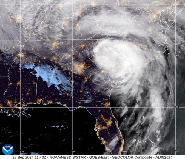
Hyde County is currently under a Hurricane Watch. A hurricane watch means hurricane conditions are possible within the next 48 hours. Now is the time to finish your preparations and secure any loose items in your yard. Current predictions show the most likely time we will start experiencing tropical storm force winds is Thursday.
The Hyde County Emergency Operations Center (EOC) is now activated and will remain operational throughout the duration of this storm. If you have any concerns or need assistance call the EOC at 252-926-3715. If you need assistance with evacuation transportation please call Hyde Transit at 252-926-1637. If you have an emergency call 911.
Hyde County Government offices will be closed from Wednesday, September 4, 2019 through Friday, September 6, 2019. All Hyde County convenience sites will close at 12:00 pm on Wednesday, September 4, 2019. The Hyde County Board of Commissioners meeting scheduled for Tuesday, September 3, 2019 at 6:00 pm will be postponed. We will announce the rescheduled date as soon as it becomes available.
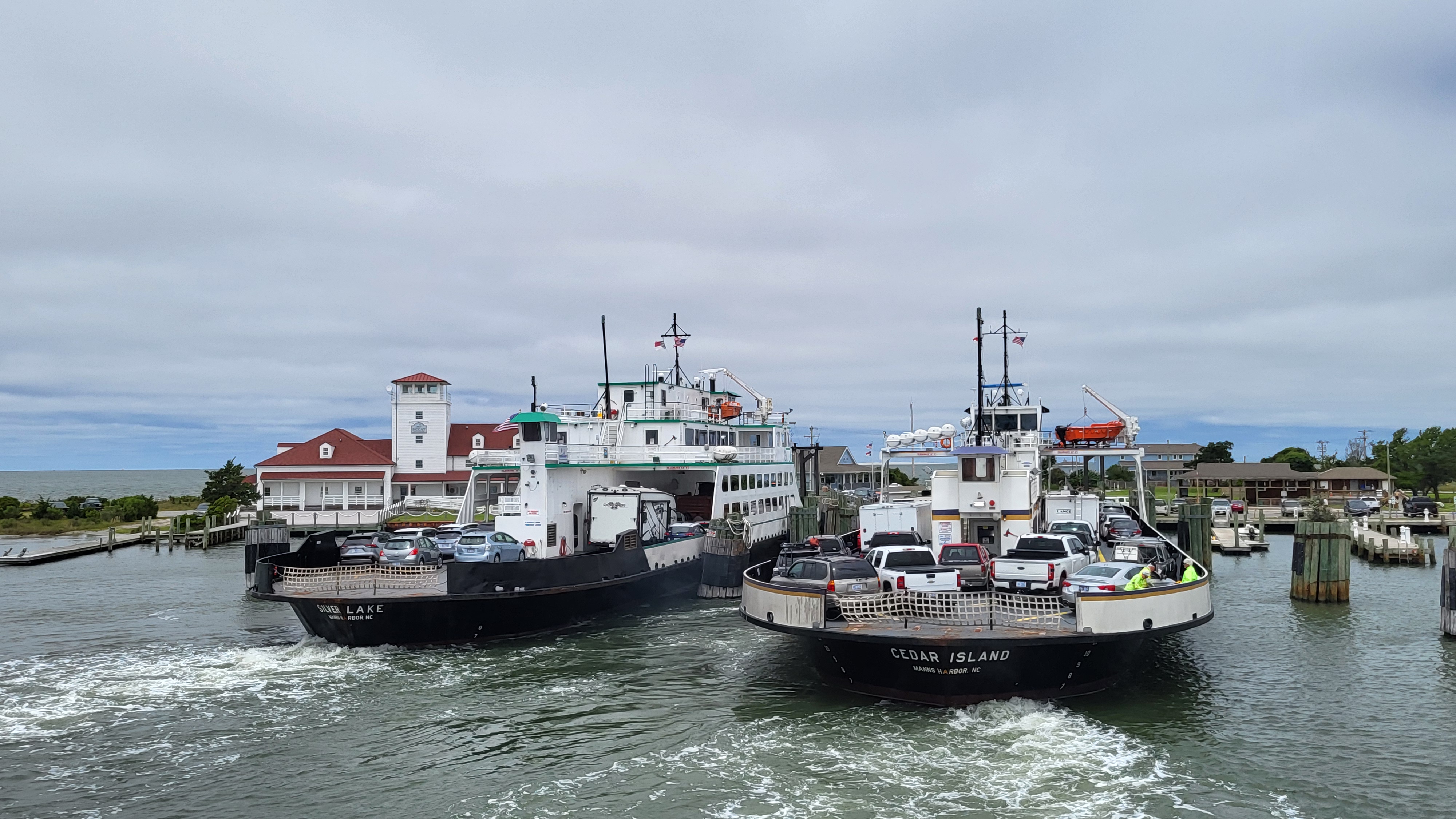
Only residents, homeowners, or vendors with an Ocracoke re-entry pass on their vehicles will be allowed on ferries inbound to Ocracoke beginning at 5:00 am on September 3, 2019. Priority boarding will be suspended for all vessels leaving Ocracoke, and tolls have been waived for ferries heading from Ocracoke to Cedar Island or Swan Quarter.
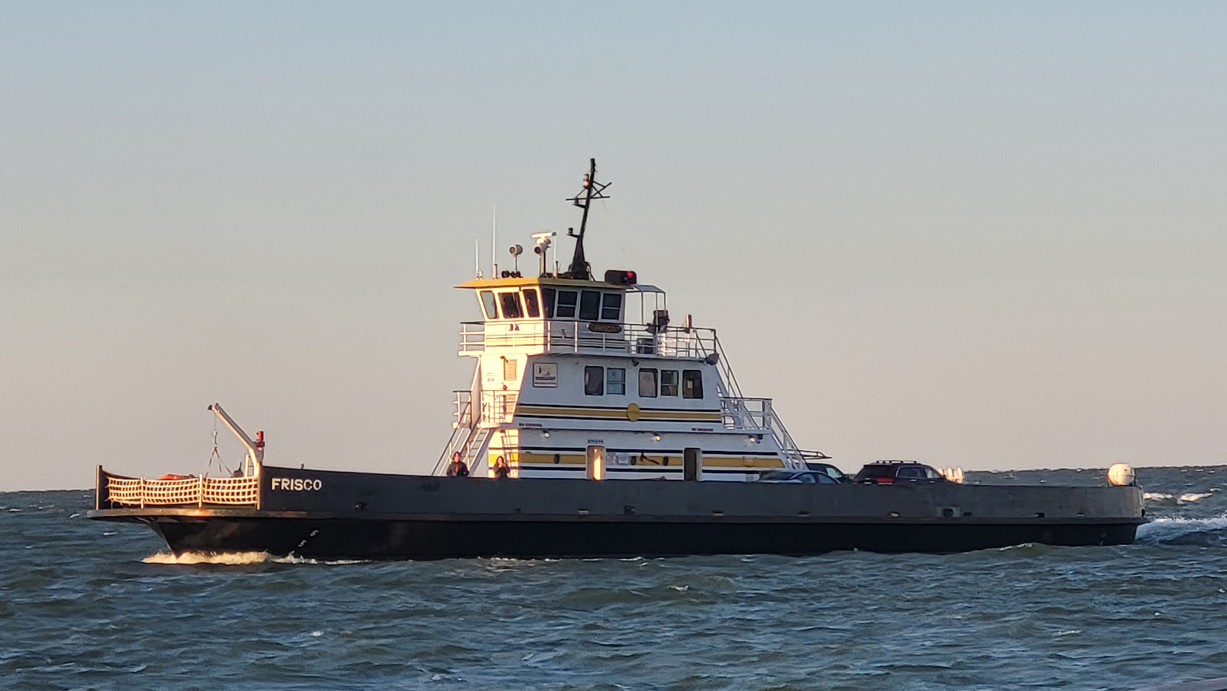
The Ocracoke-Hatteras, Ocracoke-Cedar Island, and Ocracoke-Swan Quarter ferry routes will run their published schedules. The final departure from Ocracoke to Swan Quarter will be September 4 at 3:45 pm, the final departure from Ocracoke to Cedar Island will be September 4 at 1:00 pm, and the final departure from Ocracoke to Hatteras will be September 4 at 2:00 pm.
 Cape Hatteras National Seashore visitor services suspended operations today, September 3, 2019 at 10:00 am on Ocracoke Island for the duration of the weather event. This includes the Ocracoke campground, visitor center, ranger programs and off-road vehicle permit sales office.
The National Hurricane Center has initiated probabilistic surge mapping and low lying areas of Hyde County, including Ocracoke Island, could start receiving storm surge of greater than one (1) foot above the ground within the next three (3) days. Locally higher amounts of greater than three (3) feet above the ground are forecast for areas surrounding the Pungo River and Lake Mattamuskeet. This is well ahead of the Dorian’s arrival, which is projected to occur on Thursday into Friday, and these values will only increase over the coming days.
In addition, the Weather Prediction Center has forecast six to ten (6-10) inches of precipitation to accumulate across Hyde County, including Ocracoke Island, over the next seven (7) days.
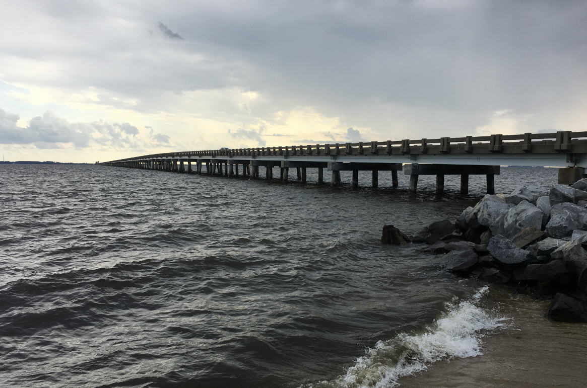
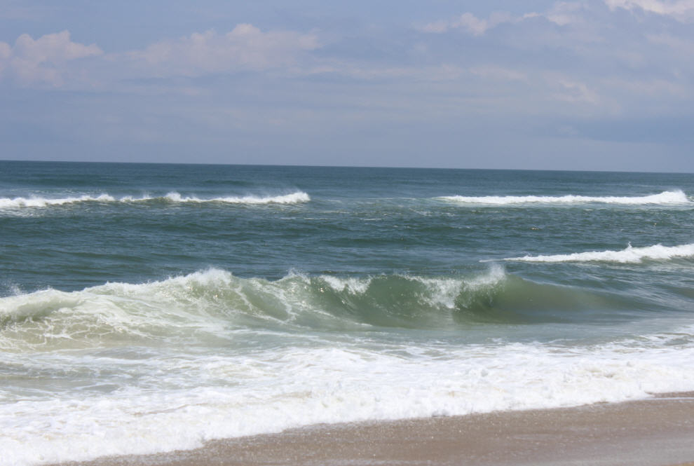
The combination of higher than normal tides, storm surge, and building surf conditions significantly threaten the transportation routes that serve Ocracoke Island. The dunes that protect Highway 12 on Ocracoke are already being weakened during high tide cycles and it is possible that dune over wash precedes the peak weather conditions. When evaluating your evacuation plans, this needs to be taken into consideration.
The Hyde County Emergency Services Department will continue to monitor the forecast for Hurricane Dorian and issue advisories as appropriate. For the most current and official information please monitor the National Hurricane Center website at https://www.nhc.noaa.gov/.


