Group Offers Aerial Views of Coastal Change
We’re waiting at the Wright Brothers Airport for our SouthWings pilot, Stu Bailey, who’s flying down from Norfolk, Virginia.
SouthWings, based in Asheville with satellite offices in New Orleans, Louisiana, and Annapolis, Maryland, is a nonprofit organization that provides flights over environmentally sensitive areas. They don’t charge for their flights and the pilots volunteer their time.
Bailey, who usually flies corporate jets, has been volunteering with SouthWings for the past few years. He’s looked at red wolf habitat and done timber counts from the air.
Our flight is in early September. There’s a king tide, a period of exceptionally high and low tides, that we want to document, along with other environmental issues and changes.
I spoke to Bailey a couple of days before our flight, asking if any special equipment would be needed to shoot photos though the airplane’s windows. He just laughed and said, “No. We’ll just open them up.”
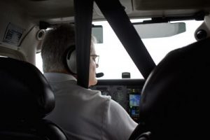
Bailey flies a Cessna 172 Skyhawk, a high-wing plane perfect for what we want to do. Our plan is to fly north over Currituck Sound to check out Monkey Island, head up to the Virginia-North Carolina line and then fly south, paralleling the coast to Morehead City.
When we get to Morehead City there will be couple people from North Carolina Sea Grant who want to check out conditions in the estuaries there. There will be about an hourlong layover for me while Bailey flies them around.
On our way back we’ll take a look at Alligator River National Wildlife Refuge, where incremental increases in salt levels in the water are a death sentence for a number of trees.
It’s cloudy when we take off, although the rain seems to have moved offshore.
Monkey Island was named for the Pamunky Indians who used it as a hunting camp before European explorers came to the New World. The Monkey Island Hunt Club was one of the most legendary of the Currituck Sound hunt clubs. The club was founded in 1869 and was one of the last to shutter its doors when it closed in 1974.
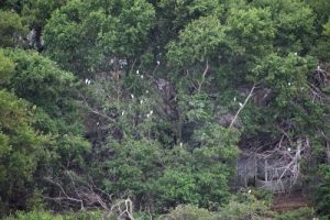
The clubhouse is still there, as well as some outbuildings, ghost-like structures that are reminders of a more opulent past. But today, we’re not interested in the buildings. What we want is to get a good look at the erosion that is eating away at what was once a 7-acre island.
Heavily forested, it is one of the largest islands in Currituck Sound and because of that, the island is an important rookery for wading birds. When the island was still a hunt club, a wooden bulkhead protected the shoreline from erosion. Time has taken its toll on the bulkhead, which is now severely damaged, almost nonexistent in many places.
The island is eroding, and I want to get a sense of just how severe the erosion is.
From the air it is apparent that significant parts of the island have disappeared. The skeletons of dead trees poke above the water on the north end of the island, giving visual proof the shoreline has retreated.
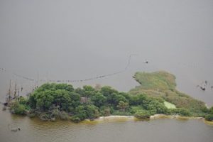
Bailey puts the plane right where it needs to be to get some good photos.
It’s tough to talk and take notes in a four-seat aircraft, but when I asked him about it later, Bailey tells me he was a Naval Academy graduate with a 30-year career in the Navy, and a lot of it in the back seat of an F-14 fighter jet.
“Get the airplane into a decent spot, that’s what the photo is about,” he said. “I attribute that to my training. In an F-14, part of our mission was reconnaissance and photo reconnaissance.”
The beaches of the Currituck Banks have never been renourished, and the difference between the Corolla beaches of the Outer Banks and the beaches of Dare County to the south is unmistakable. From 1,000 feet above, it is apparent that the last high tide washed up to the foot of the dunes for the entirety of Currituck Banks. On the renourished beaches of Dare County, the high-tide mark seems to be 5 to 10 yards from the dunes.
What I don’t know, though, is whether it is specifically the king tide pushing the sea to the dunes or if this is a regular occurrence. On the day we’re flying, Hurricane Dorian is still over the Bahamas and we can’t be sure if part of this is from the storm.
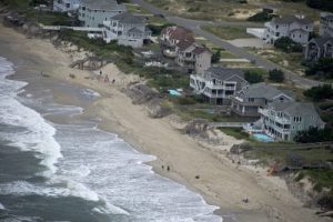
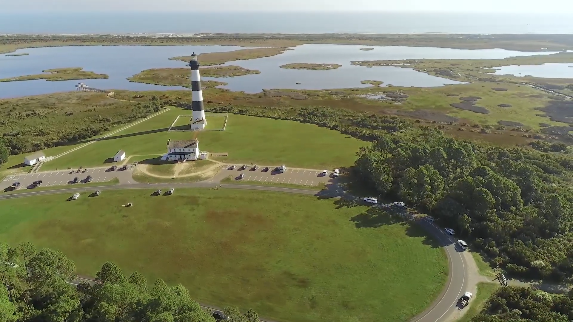
At 1,000 feet, there is a feeling of being suspended over land, yet heading south we’re passing familiar landmarks. Bodie Island Lighthouse, the new Marc Basnight Bridge.
We fly over Hatteras Inlet. The inlet opened in 1846 in the same storm that created Oregon Inlet, but now, almost 175 years later, it’s threatening to close. The shoaling has become more extensive and from the air its extent is unmistakable. We can see ferries navigating the convoluted channel, their wakes marking the series of abrupt turns they must make to stay in the channel. What is perhaps most startling is how close they come to the shoals as they navigate the waters connecting Ocracoke and the rest of the Outer Banks.
Ocracoke Island is in trouble. Even with Dorian still days away – and on Sept. 2 it was not yet clear whether the storm would strike the island – the ocean had breached the dunes on the north end of the island and flooded N.C. 12 about a half mile from the ferry dock.
We can see North Carolina Department of Transportation crews pushing sand and water off the asphalt to keep the vital highway open.
More concerning, almost frightening, as the road approaches the ferry loading ramp, it forms a sharp “U” shape that NCDOT has been frantically working to save. From 1,000 feet, the peril cannot be missed. The Atlantic Ocean is at the base of the roadbed. If a car ran off the road approaching the docks, it would fall into the ocean.
The skies are clearing for the flight back. Returning over Core Sound we gain some altitude and airspeed, although there is still the sense of being suspended in the air.
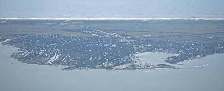
Ocracoke Village is as beautiful from the air as it is in person, but this is before Hurricane Dorian has left its mark.
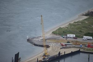
We’re coming up on the New Inlet on Pea Island National Wildlife Refuge. The Richard Etheridge Bridge spans that area, one of the most dynamic areas on the north end of Hatteras Island. Hurricane Irene created a breach there in 2011, although “inlet” would probably be the more accurate description. Before it was filled in, the breach was about 150 yards wide and 24 feet deep.
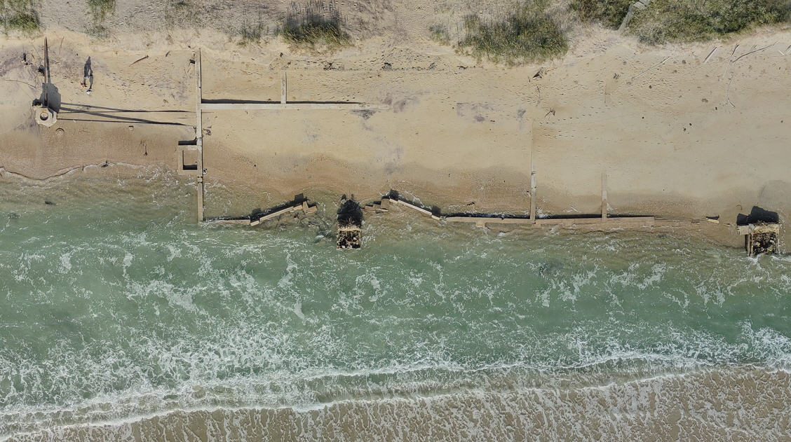
To the west of the Etheridge Bridge are the remnants of a Depression-era attempt to bridge New Inlet; the wooden trestles that spanned the water rise like timber skeletons from the water.
From N.C. 12, all that can be seen is a small portion of the bridge. From the air the extent of the effort to create a road across the marsh is breathtaking.
In some ways, looking at Alligator River is anticlimactic. There are none of the startling visuals of the other areas we’ve flown over, just a lonely road, some water and thousands of acres of trees. But interspersed in the trees is evidence that all is not healthy. The dull gray of dead trees seems almost as prevalent as the verdant hues of a healthy forest.
When we land, I mention to Bailey that it could be helpful to take a second flight and probably a third to compare the king tide effects, but Bailey doesn’t do the scheduling for SouthWings, and he flies out of Norfolk and doesn’t usually fly coastal North Carolina.
The situation highlights a shortage of SouthWings pilots in eastern North Carolina.
“We don’t have resources so it’s really challenging,” said Jake Faber, SouthWings’ Appalachia to Atlantic program manager. “The type of work we do, you really need folks who are able to get back to see it. Even just a couple of volunteers for the area would really make a huge difference.”
In the western part of the state, there are more pilots flying for SouthWings, and the organization can be more vigilant in monitoring environmental issues.
“We work extensively on monitoring pollution sources. In our neck of the woods, we’ve got plenty of pilots, so we can do the same flights over and over again,” Faber said.
Faber points to numerous environmental concerns for eastern North Carolina, drawing attention particularly to animal waste runoff into the Neuse River. Noting the prevalence of industrial-scale hog farms and chicken farms, the Neuse River basin is one place Faber said he would like to monitor more closely.
SouthWings needs more volunteer pilots in eastern North Carolina. For more information visit southwings.org.


