New task force to tackle N.C. 12 hotspots
 The “longest driveway in the world,” which leads to Ocracoke, needs help.
That moniker for N.C. 12 South was coined by Ocracoke Variety Store owner Tommy Hutcherson, said Justin LeBlanc, chair of the Ocracoke Waterways Commission, which heard a presentation on the highway issues at its July 20 meeting.
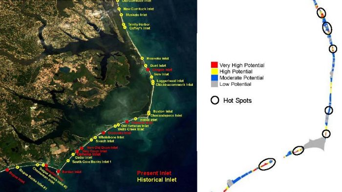
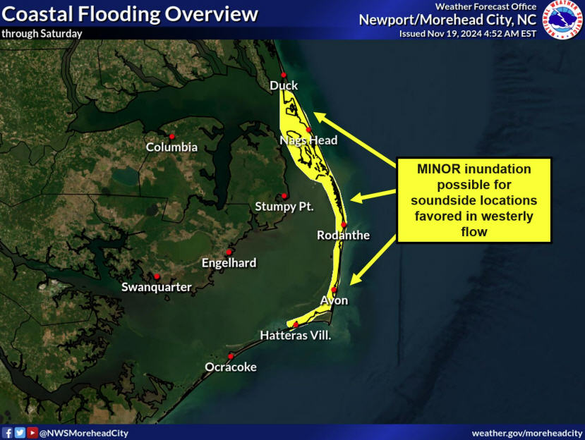
Coming up with short- and long-term solutions for seven hotspots for ocean overwash along the highway, from the base of the Basnight Bridge on Pea Island to Ocracoke, will be the work of the recently launched N.C. 12 Taskforce, based in Dare County.
“The vast majority of visitors to Ocracoke come down that road,” LeBlanc said. “Every one of those overwash areas affects us as well.”
At the meeting, David E. Hallac, superintendent of the Cape Hatteras National Seashore, one of several local and regional members of the task force, gave an overview of a peer-reviewed study written by him and Michael Flynn of the N.C. Coastal Federation.
Hotspots the group will concentrate on include the Canal Zone (at the base of the Basnight Bridge), the Pea Island Visitors Center, the S curves at Rodanthe, areas in the villages of Avon and Buxton, Isabel Inlet (between Frisco and Hatteras) and the north end of Ocracoke.
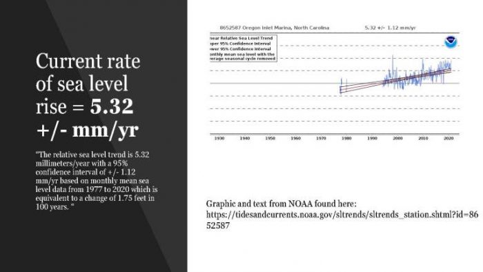
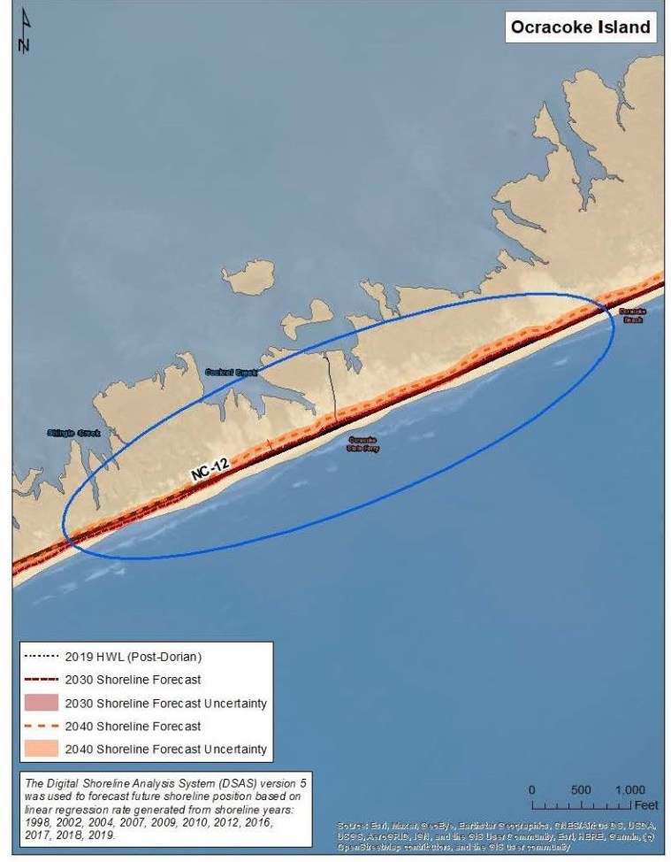
Scientific data, compiled by NOAA and Reide Corbett, an oceanographer and director of the Coastal Studies Institute in Wanchese, Dare County, show that with by 2030 the high tide line is on the other side of several parts of N.C. 12, including Ocracoke.
“Barrier islands move,” Hallac said. “Fixing the highway has halted this process and likely exacerbated the problems we have today.”
Data show that from the 1800s to 2009, the rate of erosion of these islands has consistently increased.
While nor’easters and hurricanes lash these fragile barrier islands, sea level rise is exacerbating the issues, Hallac said.
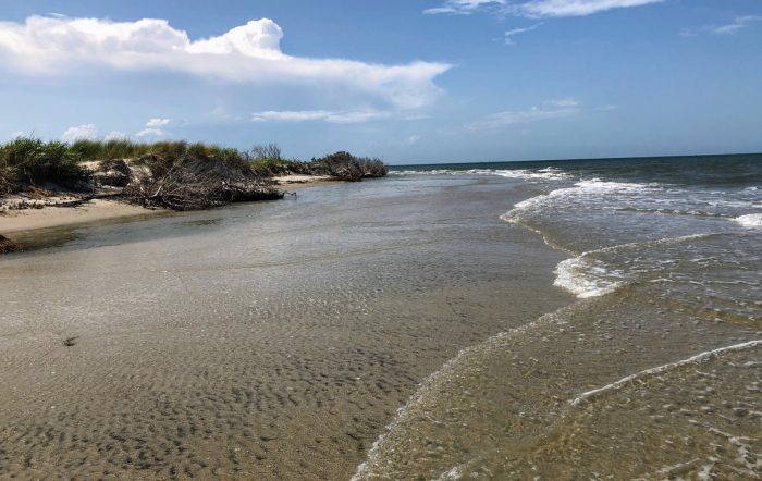
With an average of five feet of beach erosion per year, by 2030, the highway at the north end of Ocracoke will be under water as will all of the highway from the NPS campground into the village, Hallac said.
“Even if we fix (the hotspot at the north end), unless there’s a significant amount of road raising, a significant percentage of the roads in the village will be under water with two feet of sea level rise,” Hallac said.
He said the north end of the island is particularly concerning because there is a navigable, deep-water current right next to the island. Multiple lanes of the car-stacking area at South Dock have been under water for more than a year.
“It’s that fast, outgoing current at ebb tide that’s causing the erosion at the north end,” he said.
Randal Mathews, Ocracoke’s Hyde County commissioner, noted that funding to mitigate these issues will be a challenge.
“We’ll have to ask for federal funding because the state has said they can’t afford it,” he said. “The costs are going to be great, and the funding will ultimately decide these projects.”
Hallac said that we’re all in this together.
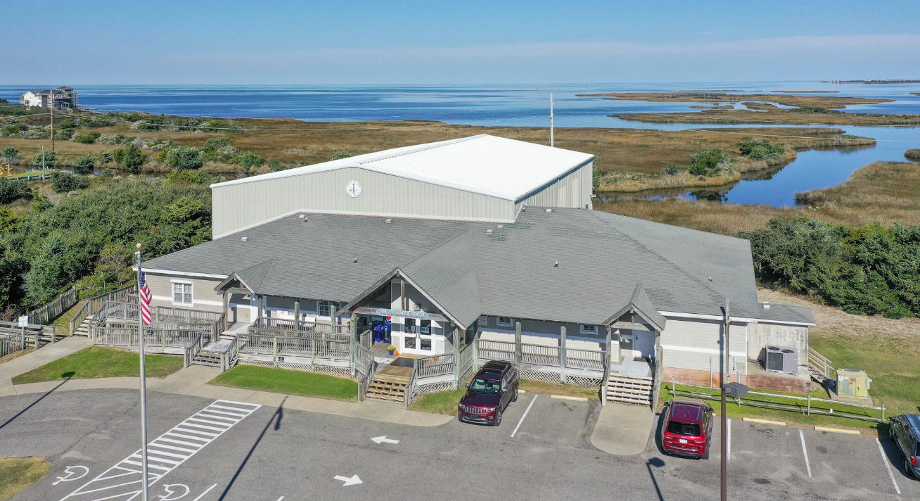
The task force and its subcommittee have several NCDOT feasibility studies they can use to help them prioritize plans, he said, but they have not made any decisions. The next meeting will be at 6 p.m. Tuesday, Aug. 17, in the Ocracoke Community Center.
To view David Hallac’s slide presentation on N.C. 12, visit Hyde County Public Information on Facebook.
