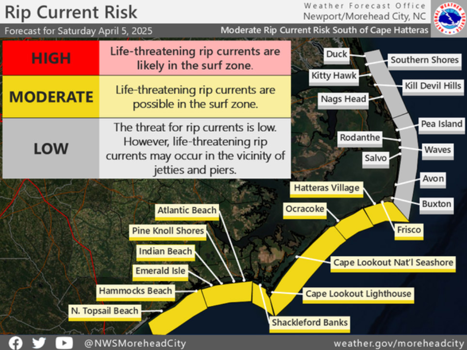
Hurricane Earl will bring dangerous rip currents this week
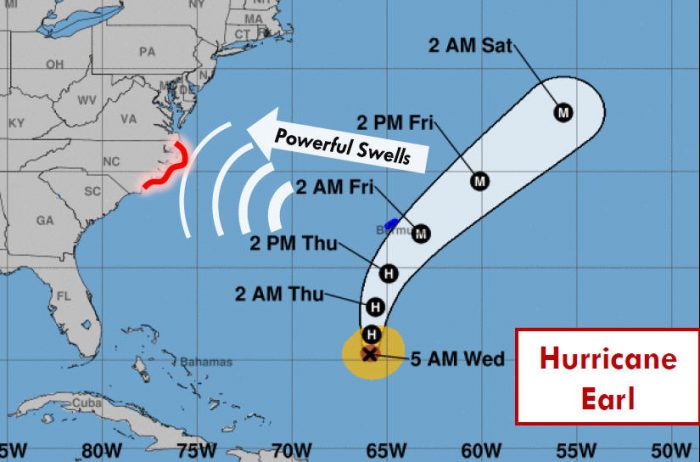
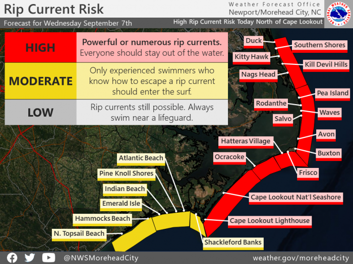
As Hurricane Earl continues to strengthen in the western Atlantic, it will produce increasing long period swell along the North Carolina coast, despite remaining well offshore, per an update from the National Weather Service (NWS) Newport/Morehead City Office.
As a result, an extended period of life-threatening rip currents is expected for all Eastern N.C. beaches through this weekend and likely into early next week. Some of this swell is already reaching the coast, and will result in an elevated rip current threat today for Hatteras and Ocracoke Islands.
As of 8:00 a.m. on Monday, Earl was located 485 miles south of Bermuda. Earl is moving toward the north near 6 mph (9 km/h), and a continued northward motion is expected to continue through tonight. A turn toward the north-northeast and then northeast with an increase in forward speed is expected to begin on Thursday and continue through early Saturday.
For more information on the local forecast, visit www.weather.gov/mhx for general weather information, or the National Weather Service office in Newport / Morehead City’s Facebook page at https://www.facebook.com/NWSMoreheadCity/.
