Tropical depression forms between Bermuda, Outer Banks By IRENE NOLAN
By IRENE NOLAN
By IRENE NOLAN
The National Hurricane Center said in an 11 a.m. advisory this morning that an area of disturbed weather west of Bermuda has become Tropical Depression 8 with winds of 35 mph with higher gusts and could become Tropical Storm Hermine in the next day or so.
According to the Hurricane Center, Tropical Depression 8 was located 310 miles west of Bermuda — or 405 miles southeast of Cape Hatteras — and was moving west at 9 mph with a barometric pressure of 1009 millibars.
“The environment is only expected to be marginally conducive for intensification,” said Hurricane Center forecasters, “with moderate southeasterly to easterly shear expected to become southwesterly and increase further in 36 to 48 hours.”
As a result, only modest strengthening is shown in the official forecast, but it won’t take much for the system to become a tropical storm. If the winds increase to 39 mph, which the Hurricane Center says can probably be expected in the next day or two, the depression will become a tropical storm.
A west-northwestward motion is expected later today and tonight, followed by a turn toward the northwest and a decrease in forward speed on Monday.
On the forecast track, the center of the cyclone is forecast to pass offshore of the Outer Banks on Tuesday.
“If the forecast trend holds, a tropical storm watch may be needed later today for some of our marine zones, and possibly a portion of our coast,” Richard Bandy, meteorologist-in-charge of the National Weather Service office in Newport/Morehead City, N.C., said in an email this morning. “The area at risk of seeing the minimal tropical storm force winds would currently most likely be from around Cape Lookout to Oregon Inlet.”
Bandy said forecasters expect that this storm will mainly be a coastal counties event. At this time, he said, the most significant impacts on land would be heavy rainfall and some localized flooding of low lying areas from rain squalls Tuesday into Wednesday.
“Wind impacts on land will be minimal,” he said, “but there will be impacts with winds and seas off the coast, and perhaps some minor erosion issues. At this time, storm surge impacts would be expected to be minimal if any.”
Timing on the strongest winds will also be Tuesday into Wednesday, Bandy said.
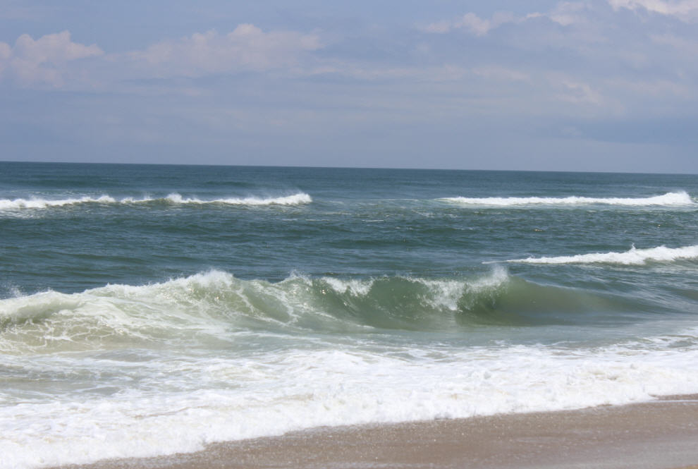
The Weather Service also notes that swells from tropical activity — including the very distant Hurricane Gaston — will affect the coast early this week with an increased threat for rip current. Beach-goers should exercise caution in the water.


