Tropical storm watch upgraded to warning for Hatteras, Ocracoke By IRENE NOLAN
The National Hurricane Center has upgraded the tropical storm watch from Cape Lookout to Oregon Inlet along the eastern North Carolina coast to a tropical storm warning.
A tropical storm warning means that tropical storm conditions are expected somewhere within the warning area, in this case within 24 hours. Interests elsewhere along the Outer Banks of North Carolina should monitor the progress of the depression. Additional watches or warnings may be required later today.
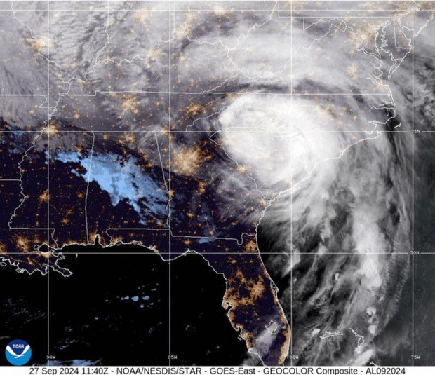
At 5 p.m., the Hurricane Center said that Tropical Depression 8 was located 140 miles southeast of Cape Hatteras, moving northwest at 6 p.m.
This general motion with a slower forward speed is expected later this evening, with a gradual turn toward the north forecast on Tuesday. On the forecast track, the center of the depression will be near the Outer Banks of North Carolina late Tuesday.
“Satellite and radar images suggest that the depression is becoming better organized,” the Hurricane Center said in the 5 p.m. update. “Convection has formed in the northwestern
quadrant, with some banding features in the northern semicircle of the cyclone. Aircraft data, however, show that the pressure has stayed the same as 6 hours ago and the winds have not increased.”
Maximum sustained winds remain near 35 mph with higher gusts. Slow strengthening is forecast during the next 48 hours, and the depression is expected to become a tropical storm on Tuesday.
Whether it becomes Hermine or Ian will depend on the future of Tropical Depression 9, which is heading out of the Florida straits into the Gulf of Mexico. The depression is also forecast to become a tropical storm on Tuesday.
Tropical Depression 9 is expected to curve to the north and then northeast, moving over Florida and into the Atlantic waters, perhaps passing offshore of North Carolina late in the week.
Meanwhile, back to Tropical Depression 8, which will approach the southern Outer Banks on Tuesday and then turn abruptly to the north-northeast and then northeast and move quickly away from the coast on Wednesday.
The National Weather Service office in Newport/Morehead City says tropical storm conditions are possible on Hatteras and Ocracoke Tuesday afternoon into Tuesday night.
The primary impacts in our area will be heavy rainfall with minor flooding, high winds — with the highest winds offshore of the islands — possible beach erosion, and a high chance of rip currents all along the North Carolina coast into midweek.
Rainfall amounts are expected to range from 1 to 3 inches with isolated higher amounts to 5 inches, which could result in minor flooding of low-lying areas. The timing of potential heavy rain, forecasters say, could be anytime today through Tuesday night in heavy rain bands.
The strongest sustained winds are expected on the Outer Banks and could reach 25 to 35 mph with gusts to 45 possible.
Minor water level rises of a foot or less above normal are expected across the southern Pamlico Sound and soundside Ocracoke and Hatteras islands. Water level rises along oceanside areas from Cape Lookout through Oregon Inlet will also be 1 foot or less with some minor erosion possible from the combination of that and wave run-up.
Seas will peak at 11 to 14 feet late Tuesday evening into Tuesday night before subsiding dramatically on Wednesday.
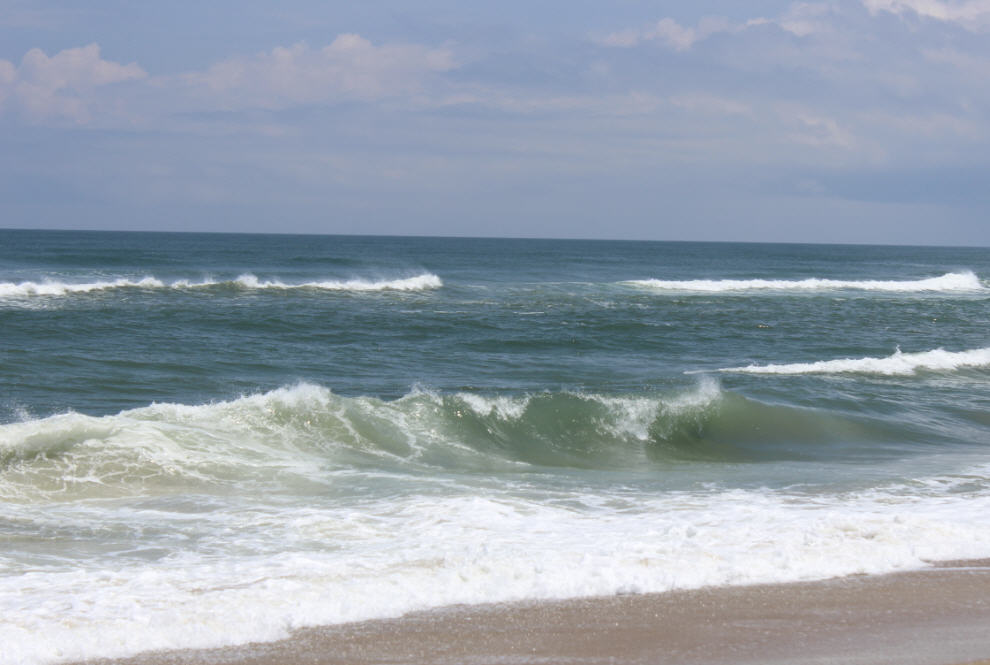
Significant long-period swells from the tropical activity will start reaching the beaches today. There is a high risk of rip currents along all coastal North Carolina beaches Tuesday and the threat will likely continue into later in the week. Beach-goers should use extreme caution if they are in the water.
The best chance of rip currents is either side of low tide, which occurs about 12:30 a.m. to 1:30 on Monday, though with the tropical system off the coast, rip currents are possible at any time.
For more information on rip currents, go to http://www.ripcurrents.noaa.gov/.
Dangerous shore break is also forecast for beaches from Cape Lookout to Oregon Inlet. Shore break occurs when waves break directly on the beaches. The most common injuries with strong shore break are neck and back injuries, which occur when the surf throws the swimmer head first into the bottom.
“Residents and visitors are encouraged to go ahead and prepare now by securing loose outdoor items before the winds increase,” Dare County said in a news release. “Wind impacts are expected to be mostly minor, but there could be some damage to awnings, carports, sheds, and unanchored mobile homes. Unsecured lightweight objects may be blown about. Limbs may be broken off trees with a few snapped or uprooted.
Dare County also said that Tuesday’s garbage collection for the villages of Rodanthe, Waves, Salvo and Avon should be completed by 11 a.m. Customers are asked to secure their cans as soon as possible following collection at their homes.
KEEPING UP WITH THE FORECAST
Residents and visitors are advised to keep up with the latest forecasts from the local National Weather Service office at www.weather.gov/mhx/.
Click here to see the latest Tropical Depression 8 briefing from the local National Weather Service office.
ROADS AND FERRIES
The N.C. Department of Transportation crews are putting equipment in place so they can quickly react to any issue that develops, such as sand overwash on roadways.
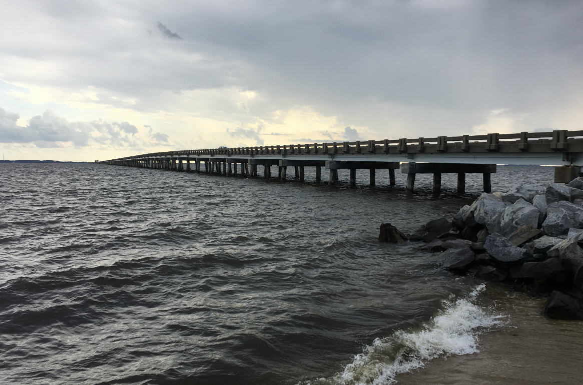
A front loader and motor grader are in place on Ocracoke Island and in Buxton; a front loader is set at Kitty Hawk; and on Pea Island, several pieces of equipment are set up in the parking lot south of the Oregon Inlet bridge. County maintenance staff will be monitoring conditions, especially at high tide cycles starting early Tuesday morning.
Residents and visitors can download the free ReadyNC app for real-time weather and traffic information. Road condition updates are also available in the Traveler Services section of NCDOT.gov or by following NCDOT on Twitter.
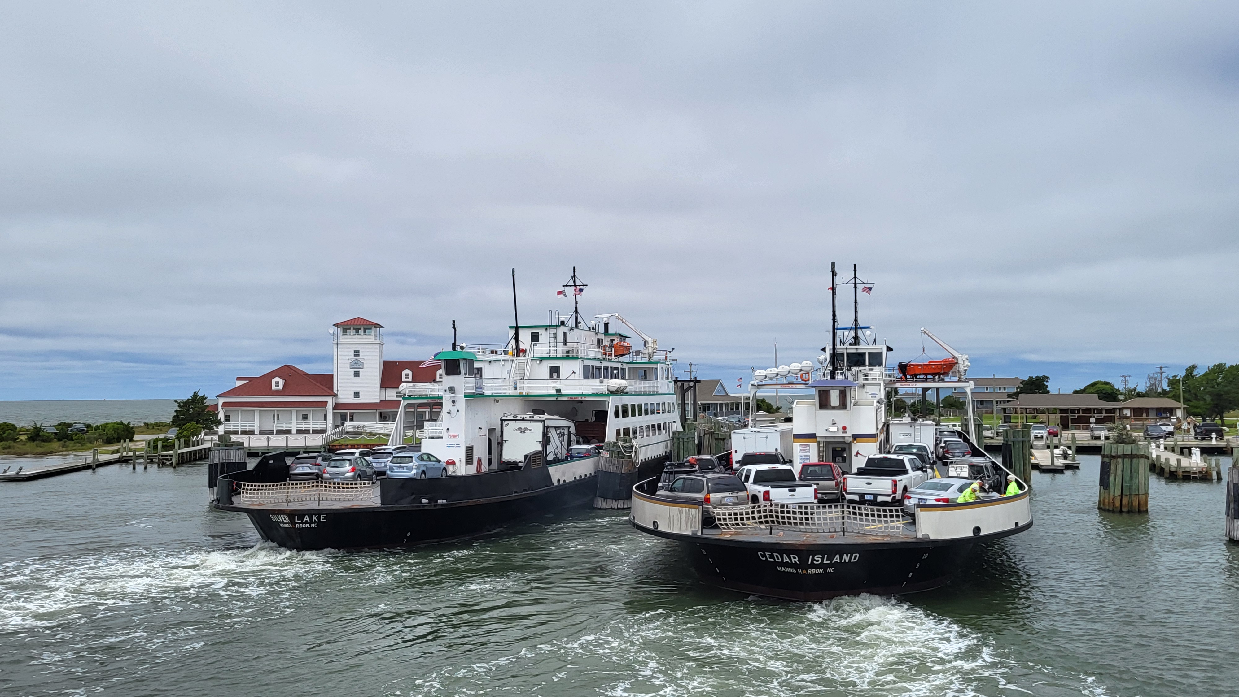
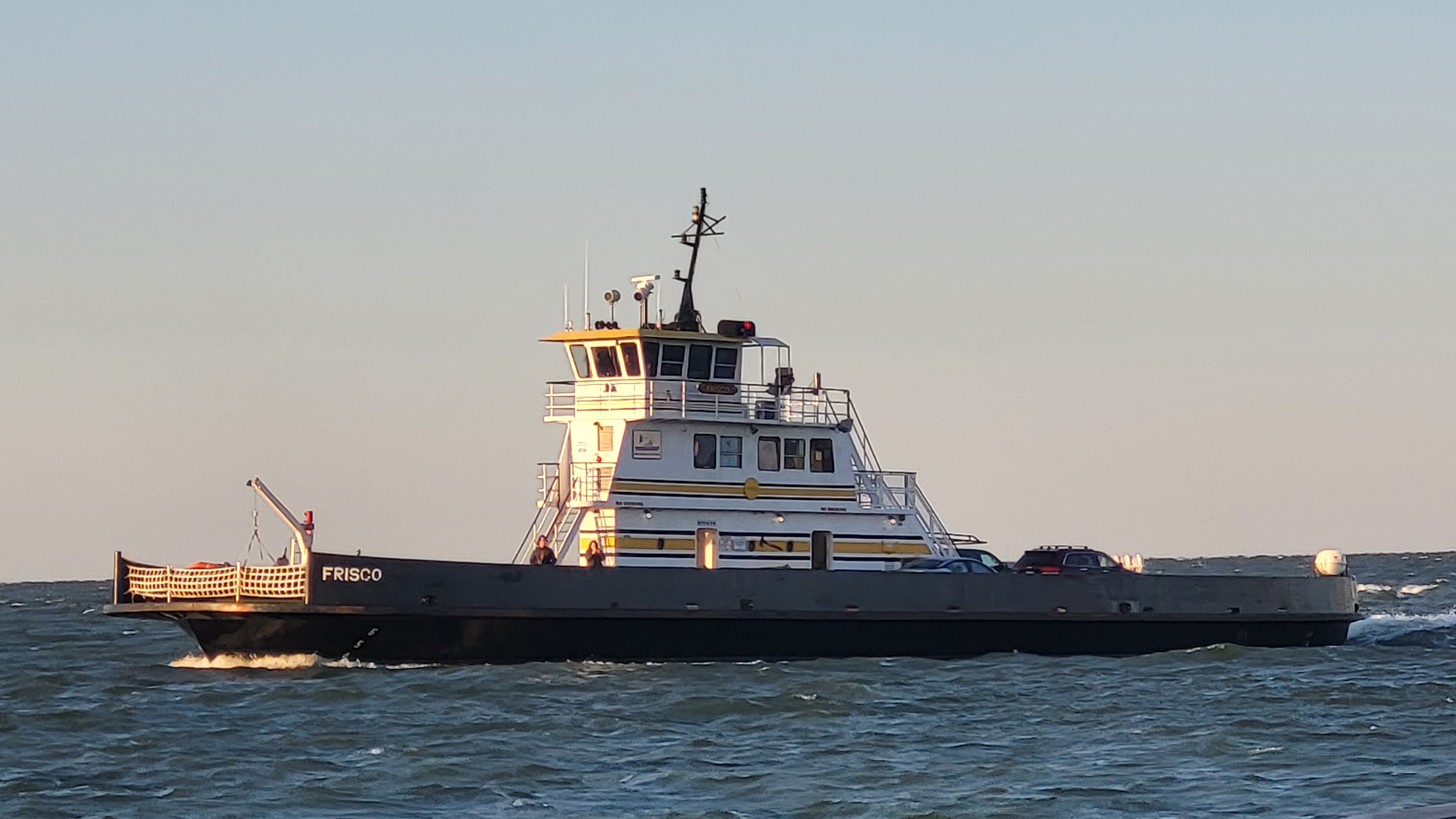
The Ferry Division says that “if that forecast comes to pass, it is likely that ferry service interruptions will occur, most likely on the Hatteras Inlet and Pamlico Sound routes.”
“Safety is always our top priority, so passengers should prepare for service suspensions from Tuesday afternoon through Wednesday morning if wind and tidal conditions warrant,” said Ferry Division Director Ed Goodwin. “Hopefully this system will be on its way out to sea by Wednesday afternoon, and we’ll be back to our full schedule long before Labor Day travelers arrive.”
At this point no evacuations have been ordered, so all N.C. ferry routes will remain on their regular schedules until conditions deteriorate.
For real-time information on ferry schedule delays and interruptions, follow @NCDOT_Ferry on Twitter.
CAPE HATTERAS NATIONAL SEASHORE
Cape Hatteras National Seashore management is closely monitoring the weather system, along with Tropical Depression 9, which may also impact the Outer Banks toward the end of this week. Currently, there are no plans to suspend visitor services at the seashore, but adjustments to park operations will be made, if necessary.
Campgrounds: On Monday afternoon, park staff advised campers at Oregon Inlet, Frisco, Cape Point, and Ocracoke campgrounds of the inbound weather conditions. Tent camping is not advised if the area is impacted by tropical storm conditions. All seashore campgrounds will operate on a one-day availability basis.
Beach Access Ramps: Visitors should review signs posted at the beach access ramps and use best judgment. Daily beach access ramp status updates are available on the Cape Hatteras National Seashore Facebook Page at http://facebook.com/capehatterasns.


