Watching and waiting for TD8 on a partly sunny day By IRENE NOLAN
By IRENE NOLAN
By IRENE NOLAN
Residents of and visitors to Hatteras and Ocracoke islands were watching and waiting today for the rain to begin and the wind to start howling as Tropical Depression 8 skirted the islands, perhaps as a minimal tropical storm.
Neither one had happened by dinner time. And, the National Weather Service says the depression is likely to pull away from the coast overnight with little or no impact on the islands.
However, it looks as if we will need to keep a close watch on that other tropical depression in the Gulf of Mexico, which could be in our future.
There were a few showers around today. In Frisco, we had some brief showers early this morning that totaled .15 of an inch. After a mostly cloudy late morning, the rest of the day has seen sunshine on and off and a northeast breeze that is blowing about 10 mph with a few gusts to 20.
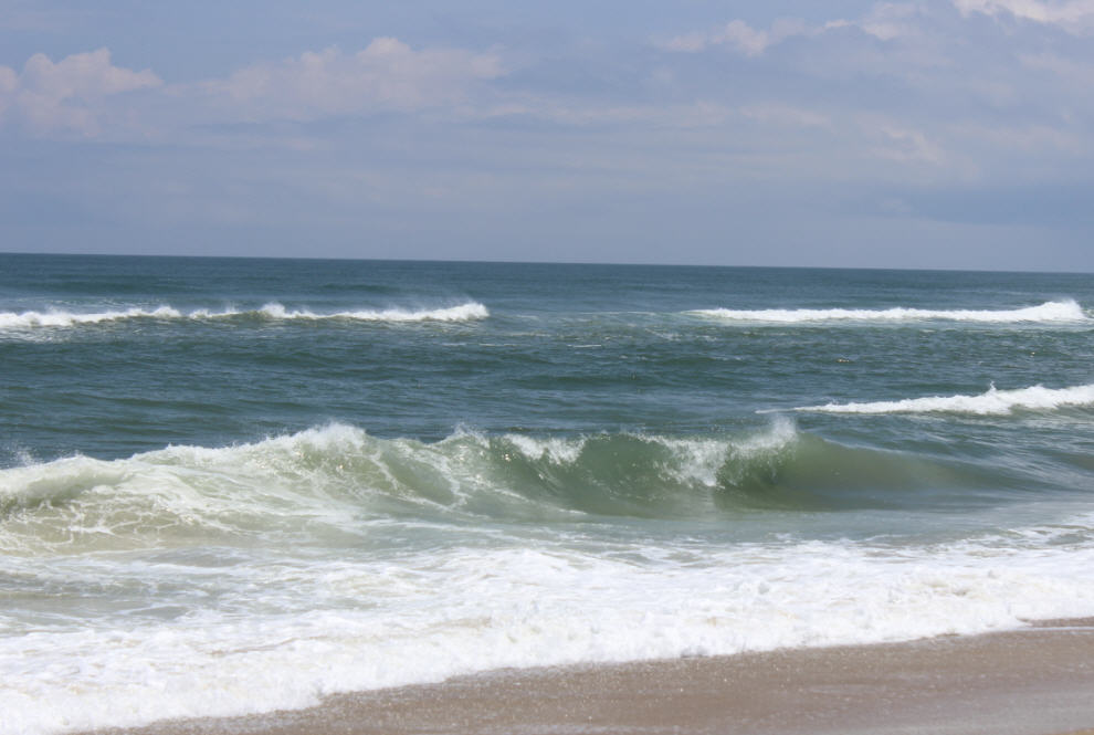
Some visitors had already decided to spend a rainy day shopping and others went to the beach when the sun started peaking out, although the ocean was rough and there was a high threat of rip currents.
Television news trucks were buzzing around the island looking for action, but not finding much to send home for the 6 p.m. news. The Weather Channel was in Kill Devil Hills, and Weather National was on Hatteras, along with broadcast stations from Raleigh, Greenville, and Norfolk.
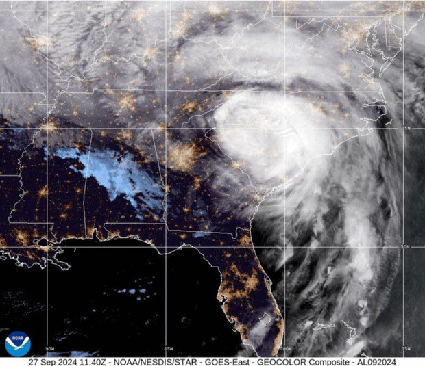
Meanwhile, the National Hurricane Center issued its 5 p.m. advisory for Tropical Depression 8, which sounded pretty much like all of the rest of them for the past day or so.
The Hurricane Center said that satellite images indicated that the depression remained disorganized.
At 5 p.m., the depression was 60 miles south-southeast of Cape Hatteras, moving north-northeast at 5 mph. Forecasters expect this general motion to continue into tonight with a turn toward the northeast forecast on Wednesday.
“Model guidance indicates the system is nearing its closest point of approach to the Outer Banks,” the Hurricane Center said. “We have elected to continue the Tropical Storm Warning for this advisory, but this could be lowered tonight if a more consistent motion away from the coast becomes established.
According to the 5 p.m. update, maximum sustained winds remained near 35 mph with higher gusts. Some strengthening is forecast during the next 48 hours, and the Hurricane Center said again that the depression could still become a tropical storm overnight.
The local National Weather Service office in Newport/Morehead City also downgraded its forecast for impacts on Hatteras and Ocracoke islands.
“The tropical depression is still forecast to strengthen to a tropical storm as it approaches and moves away from the N.C. coast,” the NWS office said in its evening briefing. “A Tropical Storm Warning remains in effect for Carteret, Outer Banks Hyde, and Outer Banks Dare Counties from Cape Lookout to Oregon Inlet. The Tropical Storm Warning continues for the adjacent coastal waters from Cape Lookout to Oregon Inlet, and the Pamlico Sound.
Local NWS forecasters noted these changes with the update:
•The depression is very disorganized and weak, and increasingly looks like it is going to slowly meander for a while before pulling away from the coast overnight.
•The storm is not forecast to intensify to a tropical storm until it is likely moving away from the coast.
•Should the forecast hold, impacts across the entire area will be minimal to none.
•Tropical storm warnings will continue for a while longer to be sure the system does not show signs of strengthening before pulling away from the coast.
The Weather Service says rainfall forecasts have dropped significantly, though there is
still a chance of a spot or two receiving up to 1 inch of rain in a short amount of time overnight. The threat of minor flooding of low lying, poor drainage areas has also decreased significantly.
Winds impacts are forecast to be minimal. Winds are expected to remain below tropical storm force, and the strongest winds will be offshore.
Little to no impacts are expected from coastal flooding, though water rises on the Pamlico Sound could be a half foot above normal because of the persistent north winds, and there might be minor oceanside erosion.
If Tropical Depression 8 does become a named system later tonight or Wednesday as it pulls away from the Outer Banks, we still don’t know what it will be named — Hermine and Ian are the next two up on the list.
Tropical Depression 9 is lingering and disorganized west of Key West, Fla., in the Gulf of Mexico and is also expected to become a named storm overnight or tomorrow — and a much stronger one than TD 8.
TD 9 is forecast to move north and then northeast across northern Florida and into the Atlantic waters in the next few days. The storm is then forecast to move northeast along the southeast coast and be off the Outer Banks as a tropical storm late Friday into early Saturday. It could be close enough that the Outer Banks could see some impacts — at the very least high seas and rip currents and perhaps more if the storm moves closer to the coast.
The local NWS office says a cold front will cross the Outer Banks on Thursday into Thursday night with a 50 percent chance of showers.
However, forecasters say there is significant uncertainty for the Outer Banks on Friday through Saturday as Tropical Depression 9 is expected to lift northeast out of the Gulf of Mexico along the frontal boundary off the North Carolina coast as a tropical storm.
Guidance has trended toward taking this system much closer to the coast, which will increase the impacts across the region
“However,” forecasters say, “there is still a lot of uncertainty in the timing, track and strength of this system, so it is still too early to know what the impacts from wind, storm surge and rainfall may be.”
With a leftward shift in the track late today, local forecasters have increased winds and precipitation chances Friday and Saturday, but if a track closer the coast persists these “will have to be increased further, perhaps significantly.”
“Either way, expect increased surf with a high rip current risk to continue along the beaches.”
To keep up with the latest local forecast, go to www.weather.gov/mhx/.
Click here for the latest local NWS briefing on Tropical Depression 8.
RELATED ARTICLES
Tropical storm watch upgraded to warning for Hatteras, Ocracoke
Tropical storm watch hoisted for Hatteras, Ocracoke
Tropical depression forms between Bermuda, Outer Banks


