Second tropical system in a week forecast for Hatteras, Ocracoke By IRENE NOLAN
By IRENE NOLAN
By IRENE NOLAN
It was only yesterday that we were bracing for a minimal tropical system to brush by Hatteras and Ocracoke, and the day after tomorrow, it looks like we’ll be hunkering down again.
The second time around, we might not be as lucky as we were on Tuesday with only brief showers and a nice breeze.
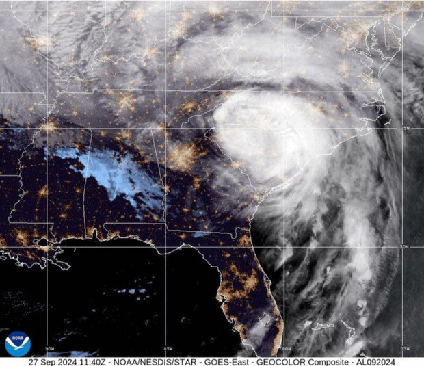
This evening, the local National Weather Service office in Newport/Morehead City noted that the National Hurricane Center has dramatically shifted the path of Tropical Depression 9, which became Tropical Storm Hermine earlier this afternoon, to the west.
The shift in the track to the west also increases the impacts for the region.
Earlier today, the forecast track was over Florida, into the Atlantic waters, and up the southeast coast offshore of Cape Hatteras.
The new track with the 5 p.m. advisory keeps the center of the storm inland as it lifts north of Florida, and that makes some changes to our forecast here on Hatteras and Ocracoke.
At 5 p.m., the Hurricane Center said that Hermine was 325 miles south-southwest of Apalachicola, Fla., moving north-northeast at 7 mph. This motion with an increase in forward speed is expected to continue through Thursday. On the forecast track, the center will be near the northwest coast of Florida in the “big bend” area on Thursday night.
Maximum sustained winds are near 45 mph with higher gusts. Additional strengthening is forecast during the next 36 hours, and Hermine could be near hurricane strength by the time it makes landfall.
The Hurricane Center says that Hermine will then move north-northeast inland over northern Florida, Georgia, South Carolina and then North Carolina. The storm is expected to be somewhere around the North Carolina-Virginia border, northwest of Hatteras and Ocracoke, by early Saturday afternoon.
The local Weather Service forecasters say that if the storm stays on the current track, the Outer Banks can expect to experience tropical storm conditions on Friday night and Saturday.
The local NWS office says that the threat of strong tropical force winds along the coast has diminished with the new track, but the forecast wind field has expanded with a large area of minimal tropical storm force winds from well inland through the coastal waters.
The threat of minor coastal flooding has expanded to the western areas of the Pamlico Sound, and the threat of tornadoes will increase over the entire area with the more westward shift of the track.
Forecasters say the Outer Banks remains under a significant heavy rainfall threat.
“Regardless of the exact track, ample amounts of tropical moisture will be streaming over the area with heavy rains likely for an extended period of time,” according to the latest NWS briefing on Hermine.
The heavy rainfall and possible flash flooding could begin as early as Thursday evening and continue into the day on Saturday before ending on Saturday afternoon or evening. Widespread 4 to 7 inch rainfall amounts will be possible with isolated amounts up to 10 inches.
The prolonged heavy rainfall could result in flash flooding.
NWS forecasters say that despite the inland track, the threat to mariners remains high. Tropical storm winds are likely and seas of 10 to 15 feet are possible.
Timing for the strongest sustained winds is now Friday evening through Saturday morning inland and lingering into evening along the coast. Minor to moderate impact from winds are possible, with some downed trees and scattered power outages.
A threat for coastal flooding and beach erosion continues — especially soundside Outer Banks as the storm departs. Water level rises could have minor to moderate impacts. On the oceanside, there will be water-level rises and large waves resulting in minor beach erosion, especially on south-facing beaches south of Cape Hatteras.
There will be a high risk for rip currents on all area beaches through the weekend and dangerous shorebreak on beaches south of Cape Hatteras.
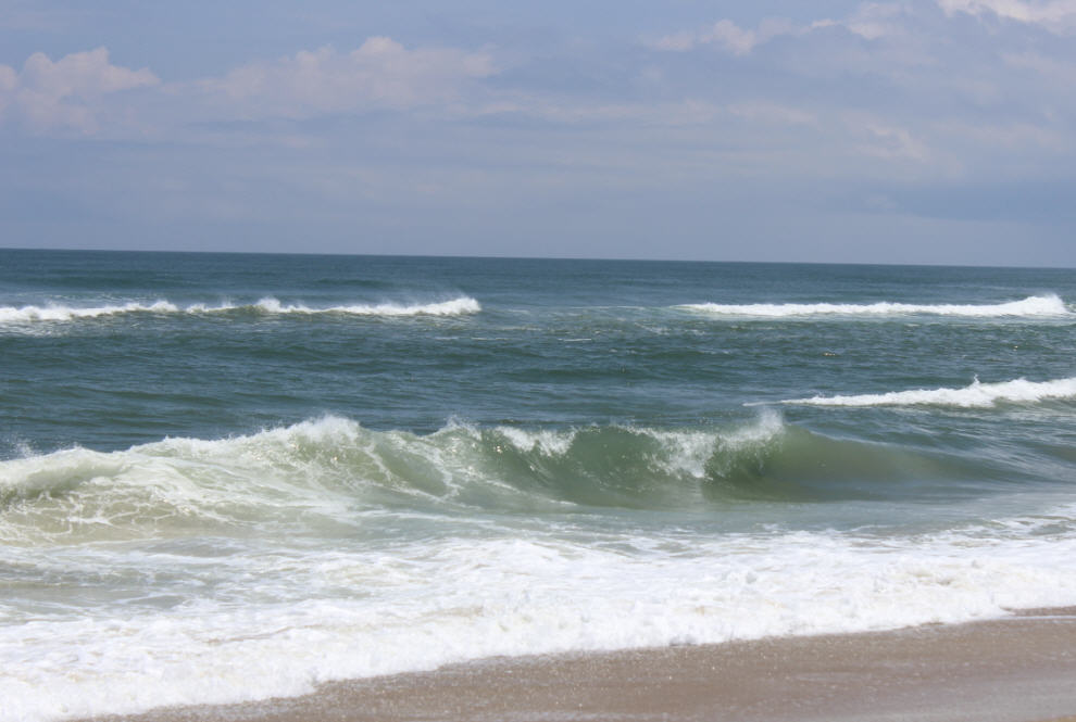
Tropical Depression 8 started pulling away from Cape Hatteras last evening and all tropical storm warnings for the islands were dropped. We saw just a few brief showers and a nice breeze for most of the day on Tuesday, though the ocean remained rough today and the National Weather Service warned of a high threat of rip currents.
At 5 p.m. this afternoon, the National Hurricane Center said TD 8 was still hanging on, though somewhat weakened, about 215 miles east-northeast of Cape Hatteras. Forecasters also say it still might become a tropical storm, but it won’t much matter to us by then.
Before Hermine arrives in our area late Friday, though, the Outer Banks will see rain that has nothing to do with the tropical system — first tonight from a warm front moving north-northeast and then Thursday night from a strong cold front moving through the area.
Once the tropical weather clears out by about Sunday, we should enjoy a respite with cooler temperatures in the low 80s and lower humidity, which would be a welcome relief.
There are still tropical disturbances coming off the coast of Africa, and we’re at the height of Atlantic hurricane activity, so keep watching the forecasts.
To keep up with the latest local forecast, go to www.weather.gov/mhx/.
Click here for the latest local NWS briefing on Tropical Depression 8.


