Matthew’s storm surge may set record on southern Hatteras …WITH SLIDE SHOW
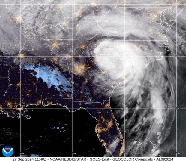
Hurricane Matthew ended its deadly and devastating march up the East Coast of the United States early this morning when it moved south of Cape Hatteras and finally headed out to sea. At 5 p.m., Matthew, now a post-tropical cyclone, was 200 miles east of Cape Hatteras.
In the storm’s wake, southern Hatteras and Ocracoke islands saw flooding that was much higher than Tropical Storm Hermine’s on Sept. 3. The surge was also much higher than many other notorious storms that have raked the islands in years past and may set some records in Hatteras and Ocracoke villages.
Several residents of Hatteras village say they have never in their lifetimes seen more soundside flooding than they did starting between 4 and 5 a.m. this morning when the wind shifted to the northwest and picked up, sending water from the Pamlico Sound rushing toward shore.
Beth and Ted Midgett, who live on Eagle Pass Road, near the ferry docks said the surge was higher than both Emily in 1993 and Isabel in 2003 at their house. Beth said it was up to her hips on the house’s first floor. Donna Peele on Kohler Drive said she had water in her house for the first time ever.
Donna and Charlie Barnett on Fulcher Lane in the “Sticky Bottom” welcomed neighbors who had to make a risky dash in deep water to the Barnett house, where water was just inches from coming in the door.
The winds was screeching in the early morning darkness, and houses were creaking and rattling and shifting like many hadn’t in a long time,
Pray for our island! Pretty bad down here! Waiting for sunlight,” Belinda Willis wrote on her Facebook Page, before the power went out.
Indeed the wind was terrifying, but just about exactly what the local National Weather Service office in Newport/Morehead City had predicted. Sustained winds on much of Hatteras and Ocracoke were about 45 to 50 mph with gusts up to 80. I measured a 77 in Frisco at 5:48. The Barnetts measured an 86 in Hatteras a little earlier.
Down on Ocracoke, Jesse Spencer told the Ocracoke Observe that he had about six more inches of tide in his yard than he did in Hurricane Alex, which struck the island in 2004 and was considered to have set the island record for storm surge.
In areas of Frisco, there was reportedly up to 5 feet of water on Highway 12 in places. In Brigand’s Bay, the surge was about 1.5 to 2 feet higher than it was in Hermine, making Matthew’s total somewhere around 4 feet above ground level. At my house, the flooding was more than Alex, Gloria in 1885, Irene in 2011 — and second only to Emily.
Just after daylight, a house in Brigand’s Bay caught fire as the tide rolled through and over it. The house, at the corner of Buccaneer Drive and Freebooter St. belongs to off-island property owners and was unoccupied.
With the high water, neither the Frisco or the Buxton Fire Department could make it to the scene, though Buxton tried. In the heavy wind, the house burned to the ground in no time. The cause of the fire is not known.
In Buxton, the surge was much higher than Hermine, but didn’t reach Emily levels. The power of the surge moved a heavy piece of equipment at Conner’s Supermarket — that looked like a freezer — right across the highway. The school’s parking lot and athletic fields were covered with floodwaters, but it was unclear if water actually got into the school.
Avon had a battering day of flooding that kept roads nearly impassible for the bulk of Sunday. Residents awoke to soundside flooding that ranged from 1 to 4 feet deep, depending on the area, as well as no power, and hammering north winds and house-shaking conditions.
The wind was still fierce at mid-morning, and in some locations it looked like the flooding had started to subside, with patches of road appearing under the saltwater.
Unfortunately, this break in the action did not last long, and by noon., the water levels had risen again, retaking pavement, and putting the bulk of Avon neighborhoods underwater.
By 4 p.m., adventurous residents had gone out to explore the scene – either by foot, in a four-wheel-drive vehicle, or on a paddle board or canoe – which could all be maneuvered, with some luck and skill, along Highway 12.
The highway close to the Breeze-Thru and Ketch 55, as well as a number of oceanside Avon streets, appeared to be clear, however, large portions of Avon — Leslie Lane and most points south — were still under 1 to 3 feet of water at 4:30 p.m.
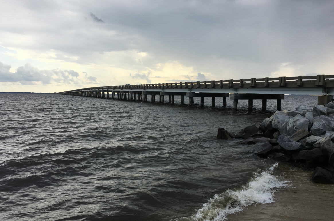
If there was anything to get a good laugh at today on Hatteras Island, it was the sight of a huge barge with a huge crane on it snuggled up to the bulkhead of a rental house on the Avon soundfront. Just a few hours before, the barge and crane had been part of the Bonner Bridge construction project.
The house when the barge parked itself was full of visitors, who weren’t quite sure what to make of the situation until an Island Free Press photographer noted that one more move of the barge could take down the house. The visitors were last seen leaving the area.
Very little if any tide was reported in Rodanthe, Waves, and Salvo — which were slammed in Hurricane Irene and also had the island’s highest surge in Hurricane Arthur in 2014.
In Hatteras village, the floodwaters surged into houses, wreaked havoc along the village’s waterfront, and even tore up some of the boats. The damage in Hatteras appears to be major from the surge.
Reports of damage seem to be fewer in other villages, though a mess of tables, chairs, small boats and kayaks, pieces of lumber in all sizes, lumber, trash, tools, gas cans, plants, toys, propane tanks, tons of eel grass, and a lot of stinking mud covered yards, driveways, and roads.
About mid-day, the wind let up slightly and the surge receded by a foot or two. However, mid-afternoon’s high tide brought back some of the floodwaters and the wind was still blowing 25 to 30 mph or so with gusts to 35 or 40.
The National Weather Service’s meteorologist Bob Frederick said it will take some time for the storm surge to completely recede. The winds will be slow to come down, he said, keeping soundside flooding around maybe for another day.
Major beach erosion or ocean overwash has not been reported on northern Hatteras Island, and Highway 12 appears to be passable, though covered in sand and water in places. Frederick said the NWS is concerned about the next high tide at about 2:30 or 3 a.m. early Monday morning. A coastal flood warning is in effect for Cape Hatteras north until 4 a.m.
Also, the NWS has issued a high wind advisory for the Outer Banks for winds of 25 to 35 with gusts to 50 until 11 a.m. Monday. And a high surf advisory is in effect, for Cape Hatteras north, until 6 a.m. Tuesday.
Overall, the high winds and storm surge were basically right on the mark of what the National Weather Service had been forecasts last week — forecasts that were really bad on Tuesday, a little better on Wednesday and Thursday, and then a worse again on Friday and Saturday.
At yesterday’s briefings, the local Weather Service forecast sustained winds of 50 to 55 mph with gusts to 80, which is what happened. Storm surge was forecast to be 3 to 5 feet above ground level — with up to 6 feet in lower spots — and 4 to 7 feet above normal. In most areas, it came pretty close to that.
Rainfall was much less than forecast on the Outer Banks, but mainland eastern North Carolina is dealing with horrific and devastating flooding from rainfall amounts of a foot or more in many place. Rivers are expected to crest at levels that will bring record flooding that perhaps will equal Hurricane Floyd in 1999.
The Cape Hatteras Electric Cooperative threw everything it could at the storm damage to the power grid. Power was restored to all but about 680 scattered homes and business by sundown. Crews will start working first thing in the morning on the remaining outages.
NEWS TO USE
Access to both Dare County and Hatteras Island is restricted until further notice. Access to Hatteras is restricted to essential personnel — such as personnel for utilities, government, and damage assessment and medical personnel — permanent residents of the island with a valid N.C. driver license with a valid address or a current property tax receipt, and essential personnel for critical Hatteras Island business who should have passes.
A curfew has been established from 7 p.m. until 7 a.m. for unincorporated Dare County, including Hatteras Island, until further notice.
Schools are closed are Monday.
County Offices and the Clerk of the Courts offices are closed Monday.
There is no garbage collection Monday .
County transportation services will not operate on Monday.
All National Park Service visitor facilities remain closed until further notice.
The Island Free Press will bring you much more news of the storm and damage to Hatteras and Ocracoke during the next few days.
CLICK HERE TO VIEW SLIDE SHOW
RELATED STORIES
A Quiet Morning Begins A Stormy Weekend With Matthew
UPDATE: Get ready for high winds, heavy rain, storm surge on Hatteras and Ocracoke
MatthewsForecastTracShiftsNorthAndWestHeavyRainSurgeLikely.html
Latest Matthew forecast about the same, but focus now on rain
Matthew still forecast to re-curve south and east but confidence is low
Latest forecast moves Matthew farther away from Outer Banks
Hyde issues state of emergency, orders evacuations
State of Emergency declared in Dare, Matthew still aiming for Outer Banks
Matthew takes aim on southeast coast, Outer Banks
Powerful Matthew’s impacts on Outer Banks still in question
Outer Banks is keeping an eye on Matthew


