Michael Expected to Move Quickly Through Eastern N.C. Starting Thursday
Michael is forecast to move across eastern North Carolina as a tropical storm beginning on Thursday and continuing into early Friday morning, per the Wednesday morning briefing from the National Weather Service (NWS) Newport / Morehead City Office.
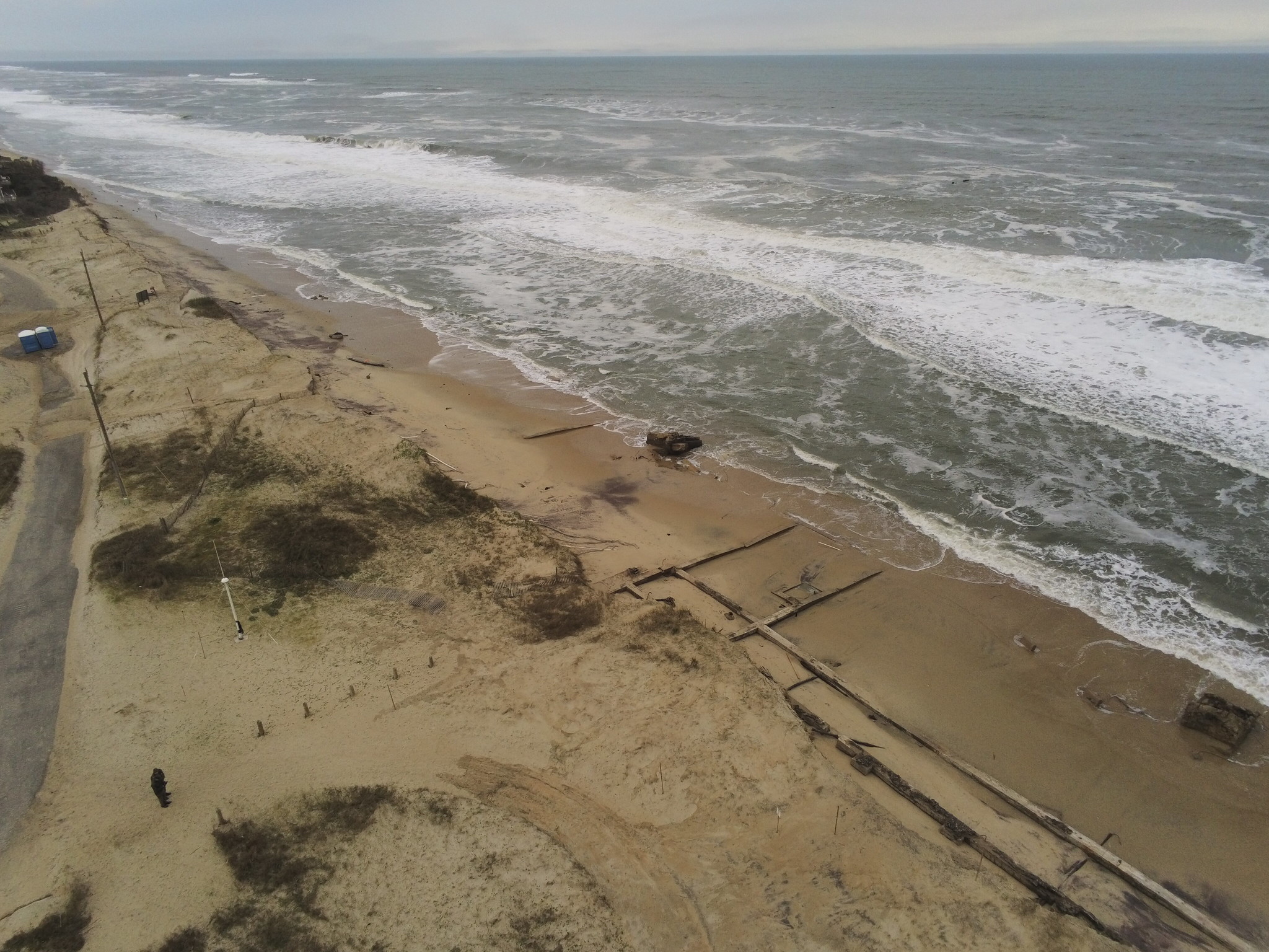
Though soundside flooding is a possibility for Hatteras and Ocracoke islands, the rapid movement of the storm reduces the chances for severe impacts from heavy rains and flooding.
“This storm is going to move quickly,” said Tony Saavedra of the NWS Newport / Morehead City Office. “It will take Michael 12-18 hours to move across the entire state, and the threat for flooding with the winds will be 1-3 feet above ground level – which is not as much as we’ve had previously with other storms.”
“The winds will also switch rather quickly from easterly to southwest, and maximum winds are expected to be around 38 mph, with [gusts] possibly up to 55 mph,” he added.
There have been local concerns that Michael may have a similar path to Hermine, which caused excessive soundside flooding in southern Hatteras Island, however a northern track will likely have different results. “Hermine passed to the south of us, while this storm is [likely] passing north, so you will have winds from a totally different direction. The main winds from this storm will be coming off the ocean,” said Saavedra.
Currently, 1 to 1.5 inches of rain is forecast for Hatteras and Ocracoke islands, with NWS noting in their Wednesday morning briefing that these rainfall amounts are not expected to cause widespread issues.
Michael is currently a Category 4 storm and is expected to hit the Florida panhandle on Wednesday. From there, Michael is forecast to accelerate as it moves northeast through the Carolinas, diminishing in strength to a tropical storm.
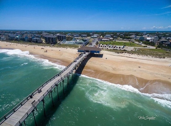
Dare and Hyde Counties remain under a tropical storm watch, and residents and visitors are advised to prepare now before the rain and winds arrive tomorrow, per Dare County Emergency Management. A high rip current risk remains in effect for the Outer Banks, and will likely be in place for the rest of the week.
For more information, visit www.weather.gov/mhx for weather forecast info, or the National Weather Service office in Newport / Morehead City’s Facebook page, https://www.facebook.com/NWSMoreheadCity/.