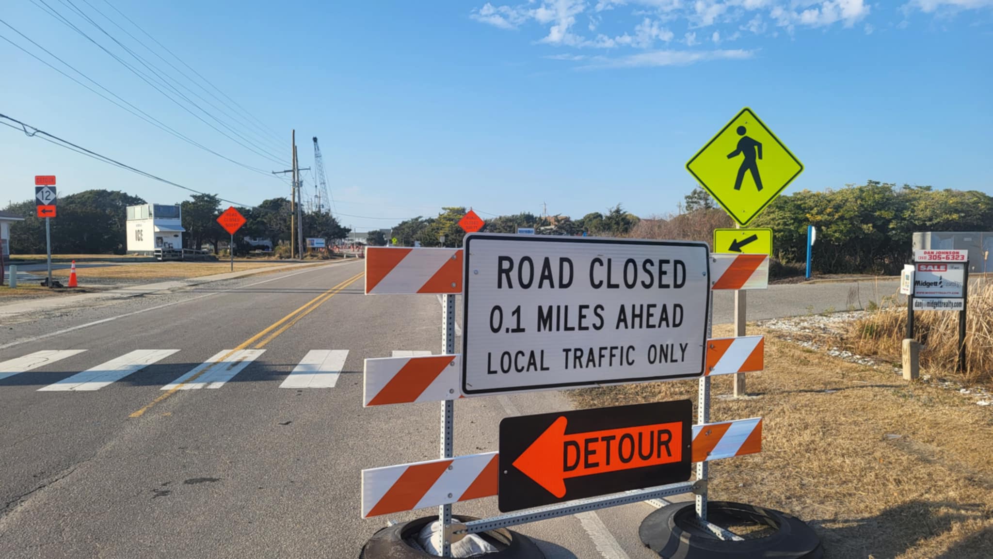
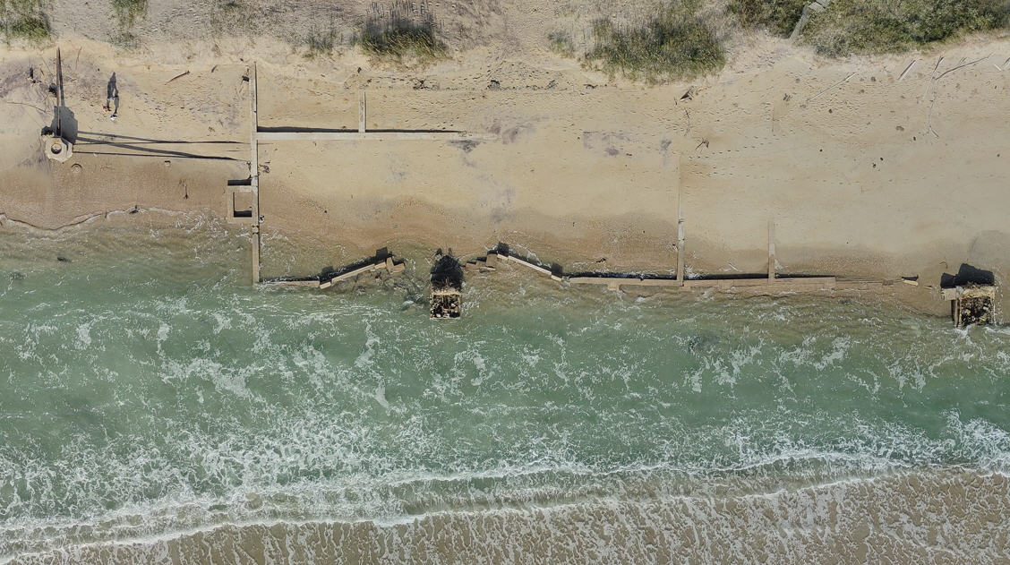
Crews continue to make progress on Highway 12 at S-curves ….WITH SLIDE SHOW
Over the weekend, North Carolina Department of Transportation crews continued working on the temporary solution to reconnect all traffic on Hatteras Island to points north of Mirlo Beach in Rodanthe.
Between Friday, Dec. 7, and Sunday, Dec. 9, crews filled and placed approximately 160 sandbags along a 0.4-mile section of Highway 12 at the S-curves just north of Rodanthe.
As of Sunday evening, crews had placed 456 of the 1,800 sandbags needed to create a protective barrier between the ocean and the road. Once all of the sandbags are in place, crews will rebuild the dunes on top of the sandbags.
Crews brought in 495 truckloads of sand from the sand pit in Avon to fill sandbags, build up the dunes, and assist with rebuilding the roadway.
In addition, crews installed survey stakes in the roadbed in preparation for grading, prior to repaving. All sections of damaged pavement were removed over the weekend. After sandbags are installed at the most heavily damaged parts of the highway, crews will begin rebuilding the road where it was located before the series of storms hit.
All work is heavily dependent on the weather and tidal conditions. And forecasts are for stiff northeast winds and higher seas on Wednesday and Thursday.
Crews hope to open the newly paved lanes of Highway 12 to all traffic on or by Dec. 25. Until then, four-wheel-drive vehicles must continue to pass through checkpoints at the temporary bridge on Pea Island and at Mirlo Beach to travel between Hatteras Island and the mainland.
More information on Highway 12 recovery efforts is available on DOT’s N.C. 12 Recovery webpage and N.C. 12 Facebook page. For the latest details on the emergency ferry route, as well as schedules for our regular ferry routes, call 1-800-BY-FERRY and press 1, or visit the NCDOT Ferry page.
In addition, a new webpage that showcases projects along N.C. 12 from the replacement of the Bonner Bridge to short and long-term solutions for the breaches caused by Hurricane Irene last year is now live at http://www.ncdot.gov/nc12/.
INFORMATION ON HATTERAS ISLAND ACCESS
Four-wheel-drive route information
Only four-wheel drives vehicles are permitted on the route. There are checkpoints south of the temporary bridge at Pea Island Inlet and in Mirlo Beach in Rodanthe.
The route is restricted to vehicles with payloads less than one ton — basically vehicles no larger than a Ford F350 or a Chevrolet/Dodge 3500. Vehicles towing trailers also are not permitted to use the route.
The route is open from 5 a.m. until 10 p.m. daily. Before dawn and after dusk, a Dare County Sheriff’s Office pilot car leads the traffic through the area.
NCDOT asks motorists to follow these important safety measures on the four-wheel drive access:
Only drive four-wheel drive vehicles with a high ground clearance. Cross-over four-wheel drive vehicles that are lower to the ground may get stuck in the rugged terrain;
If you drive at night, use extreme caution. There will be no lights staged along the route, so your vehicle’s headlights will offer the only way for you to see;
Drive slowly;
Pay close attention to the temporary traffic signals and
All four-wheel drive vehicles are encouraged to lower tire pressure to minimize the chances of becoming stuck.
Emergency ferry schedule
The emergency ferry is open to everyone, including visitors.
Those wishing to use the emergency route are reminded to expect waits and to be patient, as priority status is still in effect. Repair and supply trucks have priority at all times. Dare County residents have priority Monday through Friday.
The waits have been long at times on the emergency ferry, which takes at least two hours to cross the sound. You are advised to arrive early and be patient. You might also consider bringing water, coffee, soft drinks, and snacks.
The Stumpy Point-Rodanthe schedule is:
Departing Stumpy Point at 6 a.m., 8, 10, noon, 2 p.m., 4, 6 and 10 p.m.
Departing Rodanthe at 7 a.m., 9, 11, 1 p.m., 3, 5, 7 and 9 p.m.
Ferry information is available by calling 800-293-3779 (BY-FERRY) and pressing 1, or via Twitter at www.twitter.com/ncdot_ferry.
Directions to the Stumpy Point Emergency Ferry Dock at 100 Log Storage Road, off Highway 264: Take Highway 64 to Highway 264. Follow Highway 264 approximately 13 miles past the entrance to the village of Stumpy Point. Signs for emergency ferry service are posted to ferry entrance that will be on your left.
Directions to the Rodanthe Emergency Ferry Dock at 23170 Myrna Peters Road, Rodanthe: Turn west off Highway 12 onto Myrna Peters Road, which is located just north of the Community Building in Rodanthe.
Hatteras-Ocracoke ferry schedule
Visitors can now enter Hatteras Island via the Hatteras Inlet ferry. The ferry is still running every two hours.
The Hatteras-Ocracoke schedule is:
Departing Hatteras at 6 a.m., 8, 10, noon, 2 p.m., 4, 6, 8, 10 and midnight; and
Departing Ocracoke at 5 a.m., 7, 9, 11, 1 p.m., 3, 5, 7, 9 and 11.
For visitors wishing to come to Hatteras through Ocracoke, keep in mind that travel from Cedar Island to Ocracoke and Swan Quarter to Ocracoke requires a reservation by calling 1-800-293-3779.
Swan Quarter and Cedar Island ferries
Access to Hatteras is also available via sound ferries from the mainland to Ocracoke and then on the Hatteras-Ocracoke ferry.
The ferries from Swan Quarter and Cedar Island require a reservation.
The Swan Quarter-Ocracoke winter schedule is:
Departing Swan Quarter at 10 a.m. and 4 p.m.; and
Departing Ocracoke at 7 a.m. and 12:30 p.m.
The Cedar Island-Ocracoke winter schedule is:
Departing Cedar Island at 7 am., 10 and 4 p.m.; and
Departing Ocracoke at 7:30 a.m., 1 p.m. and 4.
Ferry reservations can be made online at www.ncferry.org or by calling 800-293-3779 (BY-FERRY) and pressing 2. Ferry information is available via Twitter at www.twitter.com/ncdot_ferry.
CLICK HERE FOR SLIDE SHOW


