Center of Dorian passing over Hatteras Island; Power outages reported throughout islands
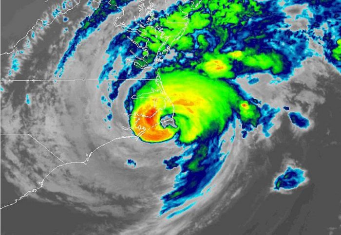
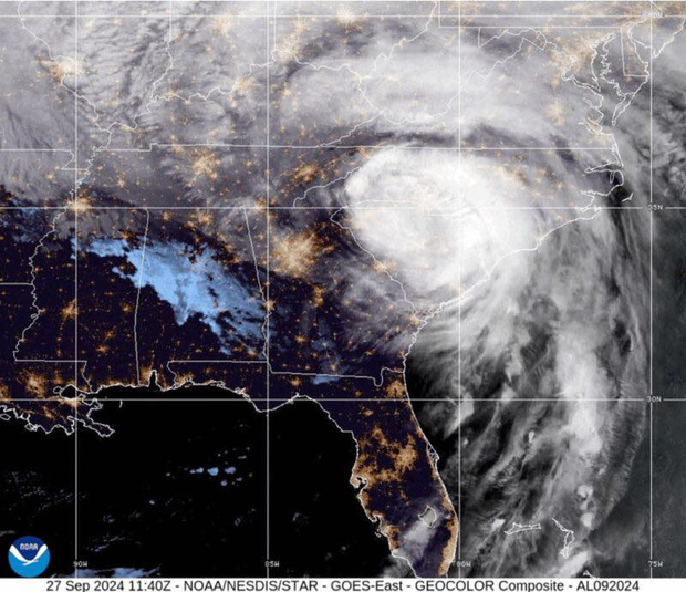
As of 8 a.m., the center of Dorian was located 10 miles WSW of Cape Hatteras, and the storm was moving toward the northeast near 14 mph (22 km/h), per the latest update from the National Hurricane Center.
Dorian has maximum sustained winds of 90 mph, and a minimum central pressure of 956 MB per the 8 a.m. update. The estimated minimum central pressure is based on data from the Air Force Hurricane Hunters and surface observations is 956 mb (28.23 inches). An automated station in Ocracoke recently reported a pressure of 960.4 mb (28.36 inches).
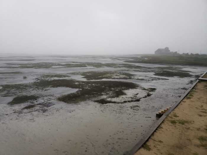
Flood gauges indicate that water levels in the sounds are continuing to drop as the water is pushed away by the wind. When the winds shift, the sound water will rapidly return, bringing extreme soundside flooding for some areas. The public can access gauges online to view water levels in real-time at fiman.nc.gov or can download the ReadyNC App and check the Flood Gauge tab. 4-7 feet of storm surge continues to be forecast for Hatteras and Ocracoke islands.
Power outages were reported all across Hatteras and Ocracoke islands as of 7:50 a.m. Cape Hatteras Electric Cooperative stated that crews will begin patrolling the line when conditions become safe to do so. Contact information for reporting power outages, links to view power outage maps, and other important information is available at darenc.com/hurricanedorian.
Standing water was reported on N.C. Highway 12 due to heavy rains, but there were not yet reports of sound or ocean overwash throughout the villages as of 8 a.m. on Friday. Ocean overwash remains a concern, especially at the next high tide which will be at approximately 2:30 p.m. this afternoon
Dangerous, life-threatening conditions from Hurricane Dorian will remain throughout the day with strong winds, heavy rains and storm surge from ocean and soundside flooding. As conditions deteriorate this morning, Dare County Emergency Management urges residents to stay indoors and shelter in place. Emergency responders will be unable to respond to calls for assistance when conditions put their safety at risk.
For updated weather forecasts, watches and warnings from the National Weather Service visit www.weather.gov/mhx.
