Ernesto to bring the Outer Banks increased surf, rip currents this weekend
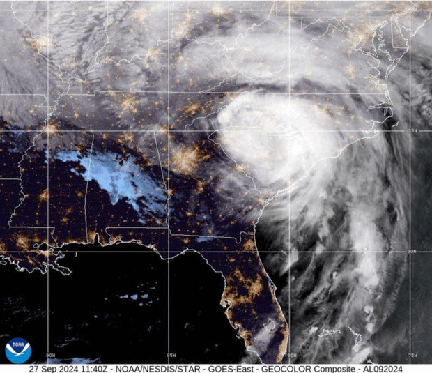
While the fifth tropical cyclone of the 2024 season is forecast to stay well away from North Carolina, it will still have some impacts along the Outer Banks starting Friday.
Tropical Storm Ernesto was moving through the northern Leeward Islands, the Virgin Islands and Puerto Rico on Tuesday evening.
The latest forecasts from the National Hurricane Center call for Ernesto to become at least a category two hurricane later this week and eventually pass over Bermuda on Saturday.
“Like we have experienced before, this does not mean we will escape impacts from the storm,” said forecasters at the Newport/Morehead City National Weather Service office.
“Unfortunately, strong swells from Ernesto will combine with higher than normal tides and potentially nice beach weather, over a weekend,” NWS Newport said. “We are very concerned at this potential for a high risk of rip currents coinciding with high populations at the beach this weekend due to the nice weather.”
A similar situation happened in 2019, when Hurricane Lorenzo passed more than 2,000 miles off the North Carolina coast and lead to more deaths than were experienced with Hurricane Dorian which crossed directly over the Outer Banks with record-breaking flooding that same year.
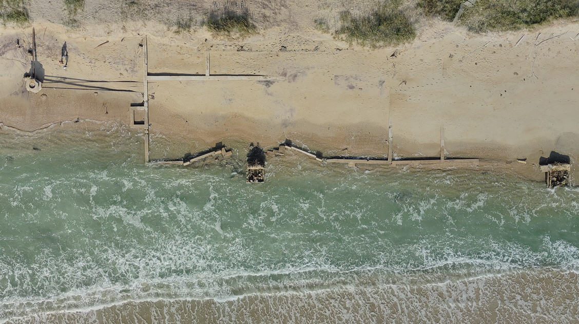
“Other coastal hazards including beach erosion, overwash, and a generally higher than normal water level are also expected,” NWS Newport said. “Those details will become more clear in the coming days.”
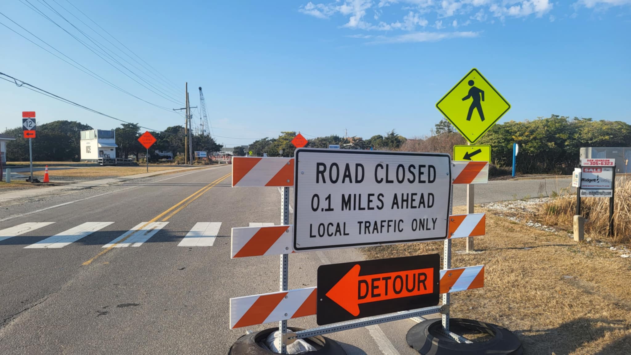
That could mean issues along the vulnerable oceanfront areas on Pea Island, in Rodanthe, Buxton, between Frisco and Hatteras, and the north end of Ocracoke.
As we reach the peak of the hurricane season in just a few weeks, officials are reminding everyone to make sure they are prepared for what is forecast to still be above-average for activity.
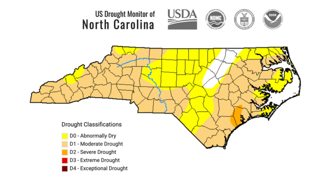
In the meantime, we should see sunny skies and dry weather through the rest of the week, with seasonably cool high temperatures in the low 80s along the beaches and on the mainland.
A few scattered afternoon and evening thunderstorms are expected to work their way back into our forecast by the end of the weekend.







Finally a break from summer doldrums.
Surf!