Flood Watch, High Surf Advisory in effect as Tropical Storm Debby approaches the Carolinas
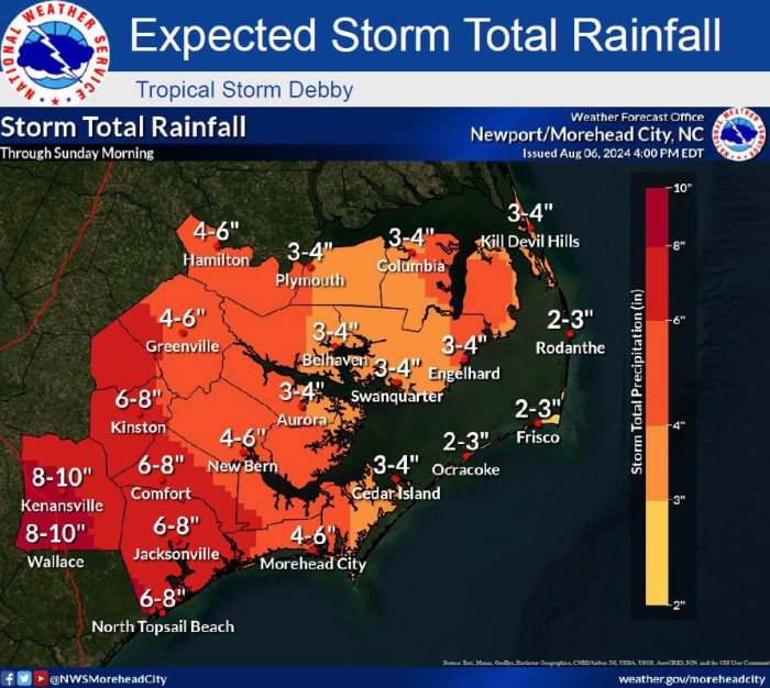
A Flood Watch, High Surf Advisory, and a high risk of rip currents are in effect for the Outer Banks as Tropical Storm Debby continues to impact the Carolinas.
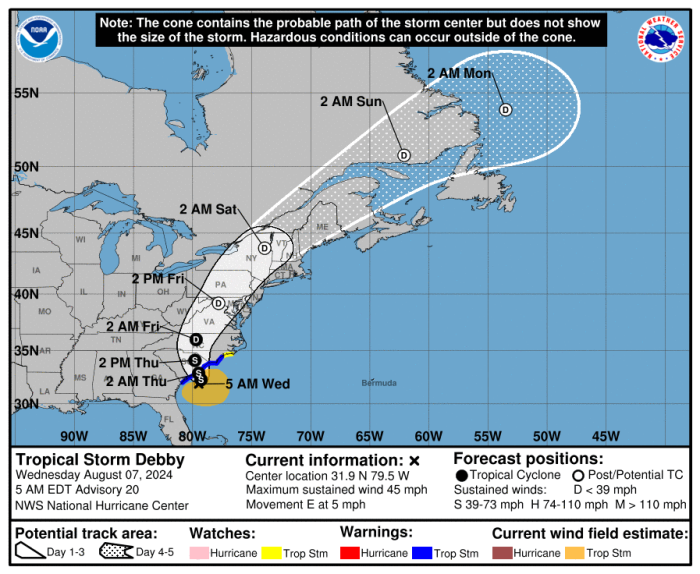
Tropical Storm Debby will move slowly off the South Carolina coast today and is expected to make landfall in South Carolina late tonight, before lifting north through central North Carolina Thursday night and Friday morning.
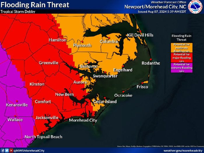
The main threat for eastern North Carolina continues to be periods of heavy rain with additional rainfall amounts of 2 to 4 inches along the Outer Banks, and locally higher amounts possible.
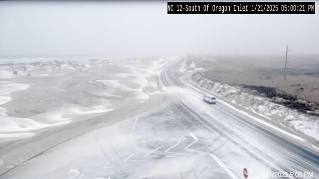
 Standing rainwater was reported on multiple portions of N.C. Highway 12 on Tuesday, especially in the Tri-village communities of Rodanthe, Waves, and Salvo, and on Pea Island, but the roadway remains open and passable.
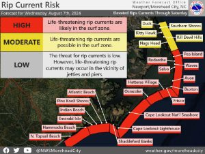
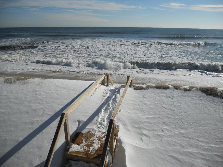
Dangerous rip currents are expected in the surf zone on Wednesday, with large breaking waves of 6 to 10 feet, and a high risk of rip currents is in effect for Hatteras and Ocracoke Islands.
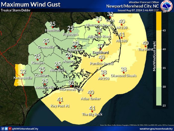
Tropical storm force winds could begin impacting portions of eastern North Carolina by Thursday afternoon with strong winds continuing through early Friday morning, potentially bringing scattered tree damage and power outages. Wind gusts of 40 mph or more are currently forecast for Hatteras and Ocracoke Islands.
A few tornadoes could produce locally significant damage, and the main threat of tornadoes will be from this afternoon through Friday morning for all of eastern NC. All residents should have multiple ways to receive tornado warnings should any be issued.
Limited storm surge is expected for the Outer Banks, with less than one foot of above-ground inundation possible.
A list of local Outer Banks resources for information is below.
- For alerts and notifications from Dare County on a customizable list of events or emergencies, (including hurricane evacuations and updates), visit https://www.darenc.gov/departments/emergency-management/emergency-alerts.
- For rip current information and other beach hazards, sign up for text alerts from Dare County, ocean rescue agencies, and the National Weather Service by texting “OBXBeachConditions” to 77295.
- For real-time flood maps that show water level rises throughout Hatteras and Ocracoke Islands, (as well as optional alerts), visit the NC Flood Inundation Mapping and Alert Network.
- For information on the local forecast, visit weather.gov/mhx for general weather information, or the National Weather Service office in Newport/Morehead City’s Facebook page at https://www.facebook.com/NWSMoreheadCity/.
- For up-to-date information on tropical conditions, follow the NWS at gov/mhx/tropical or visit the National Hurricane Center’s website. Just pay attention to all info, and not just the cone graphics.
- To sign up for the Special Needs Registry for hurricane assistance through Dare County, visit https://www.darenc.gov/departments/health-human-services/special-medical-needs-registry or call 252-475-5599.
- For Dare County hurricane information, including reentry procedures, visit https://www.darenc.gov/departments/emergency-management/hurricanes.
- For updates regarding road conditions, visit DriveNC.gov and follow the North Carolina Department of Transportation and NCDOT NC 12 on Facebook. The Dare County Sheriff’s Office also shares local road condition updates on its Facebook page.
- To get notified of ferry delays or cancellations, sign up for text and/or email alerts via the N.C. Ferry System’s FINS system: www.ncdot.gov/fins.
- For up-to-the-minute local information on hurricanes, as they happen, listen to Radio Hatteras at 101.5 (Avon through Hatteras) and 99.9 (Tri-villages), or visit them online at https://www.radiohatteras.org/.
- For online news coverage on active storms, continue to check the Island Free Press.


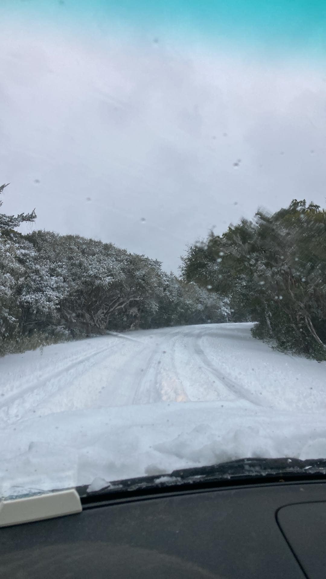
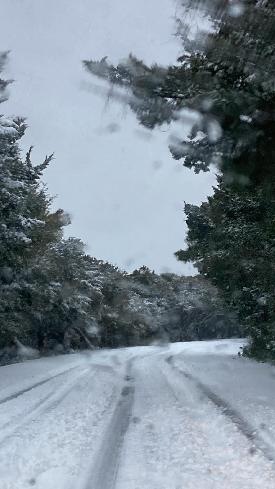
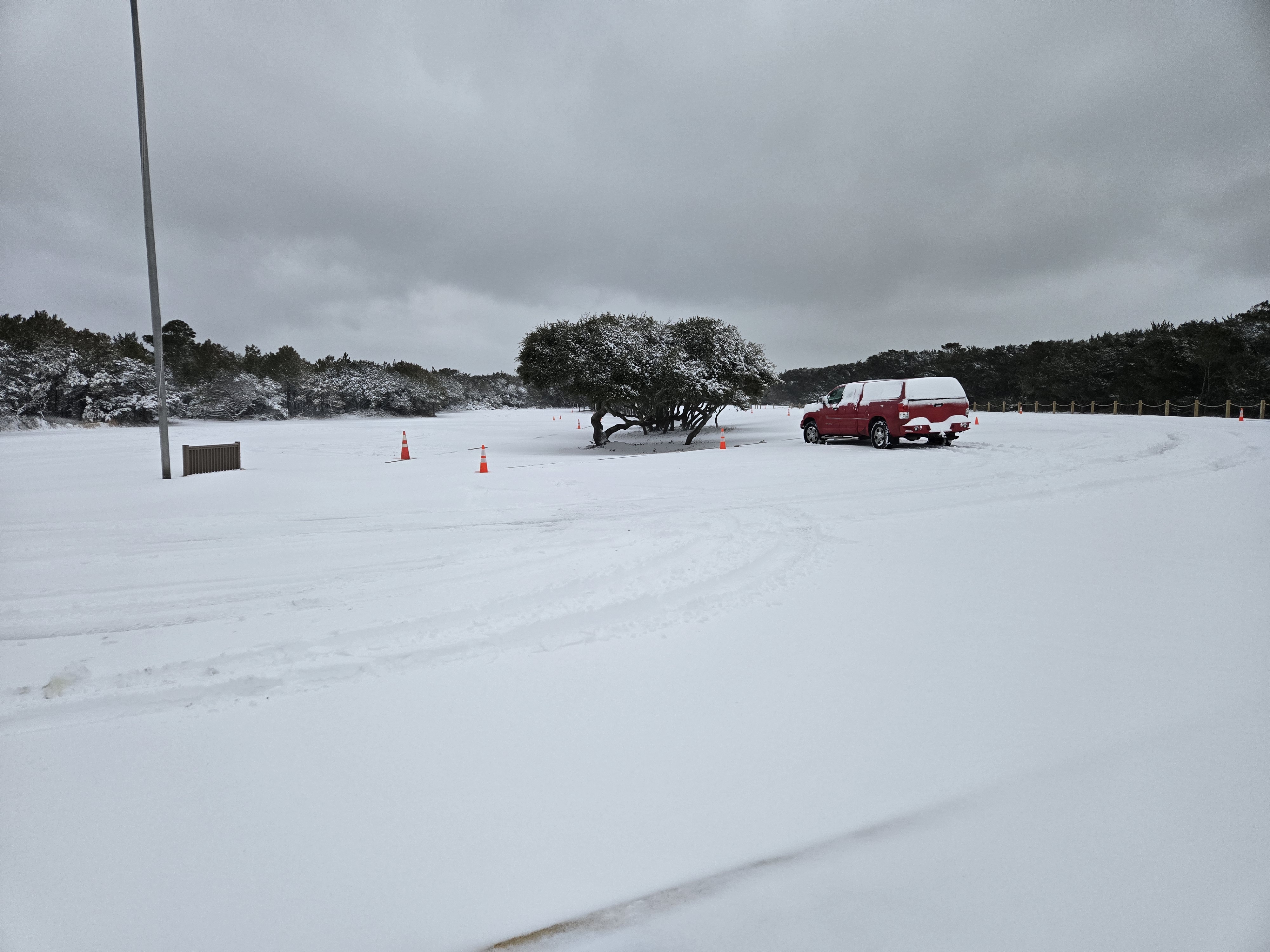
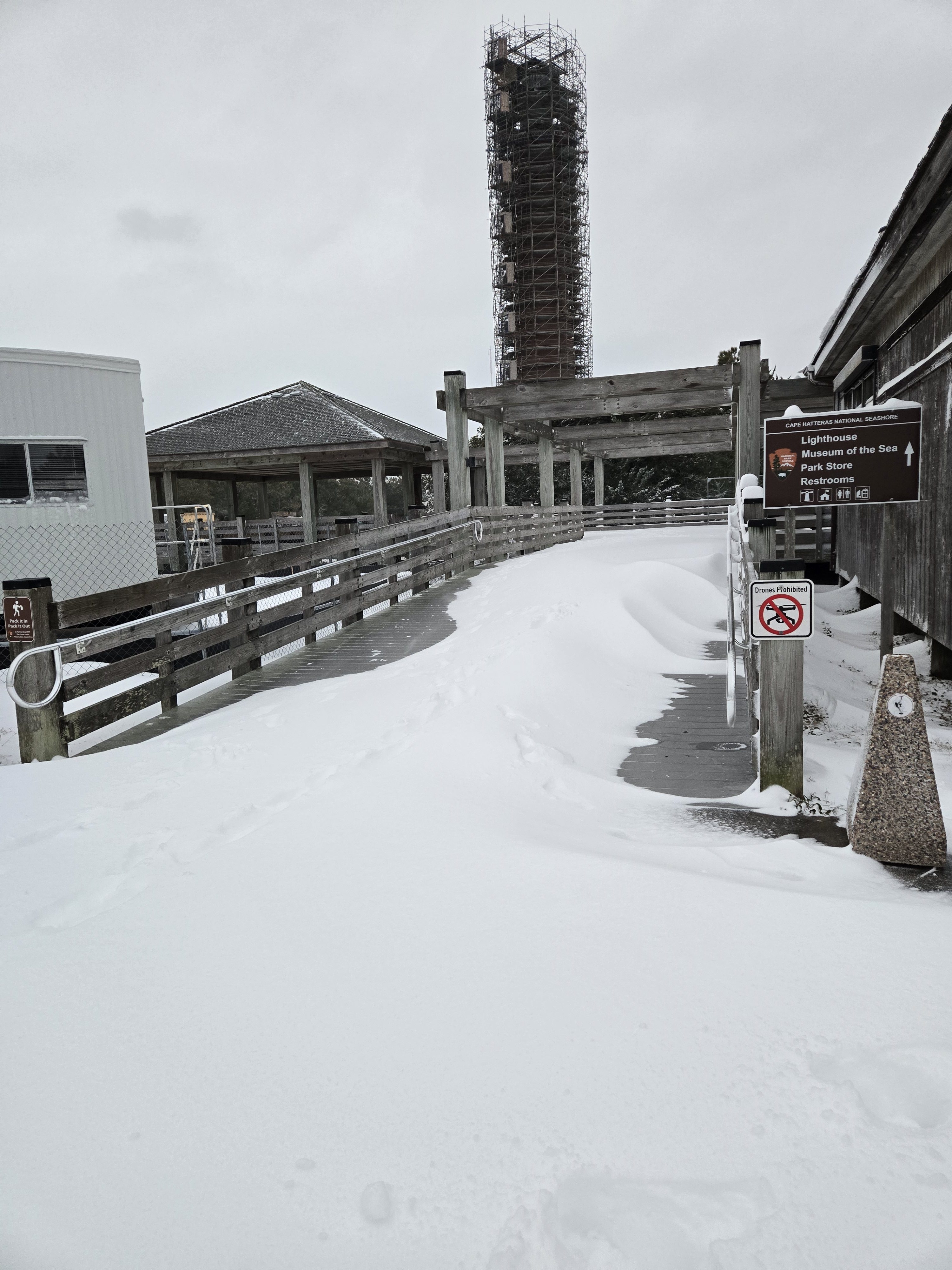
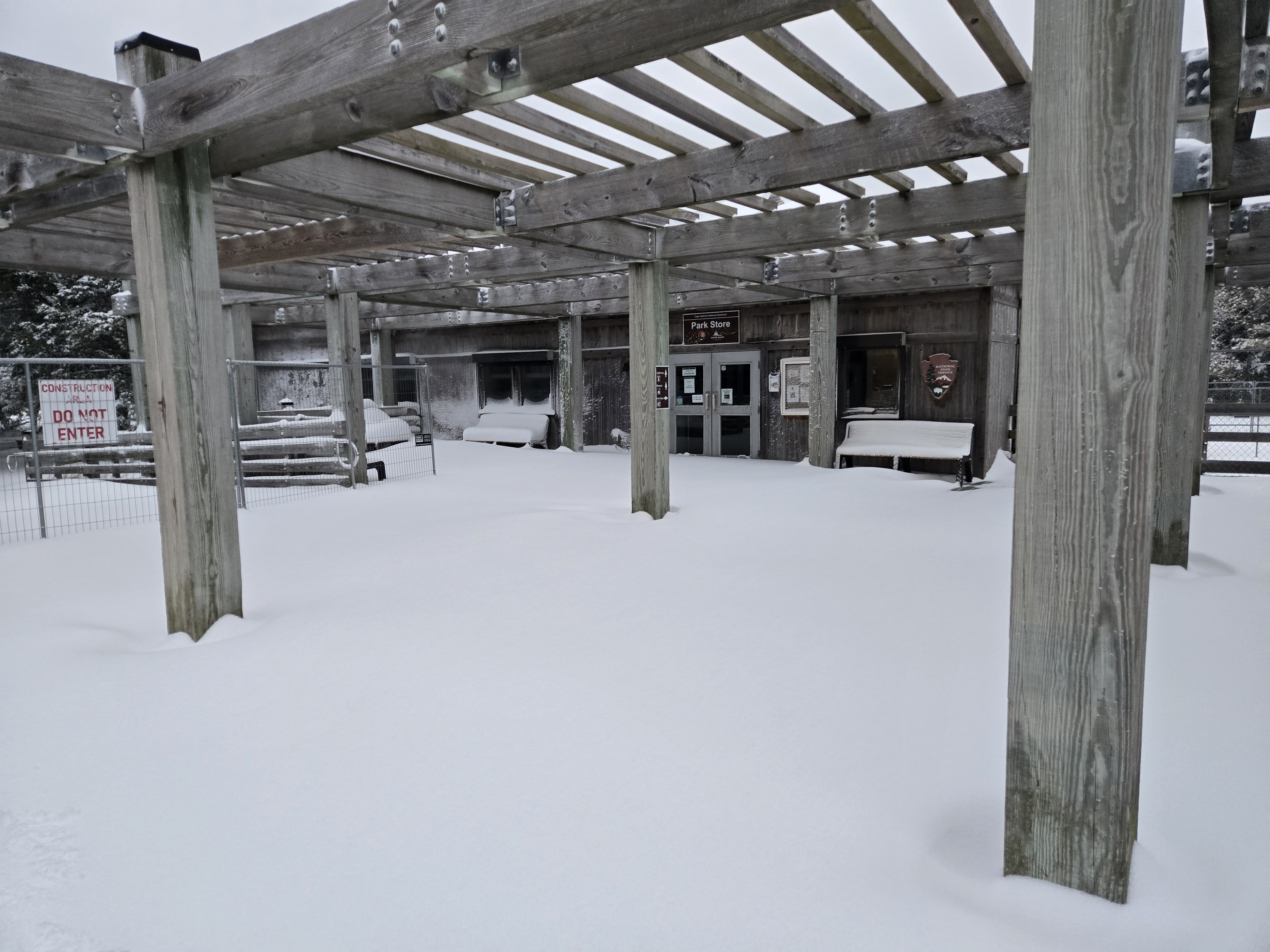
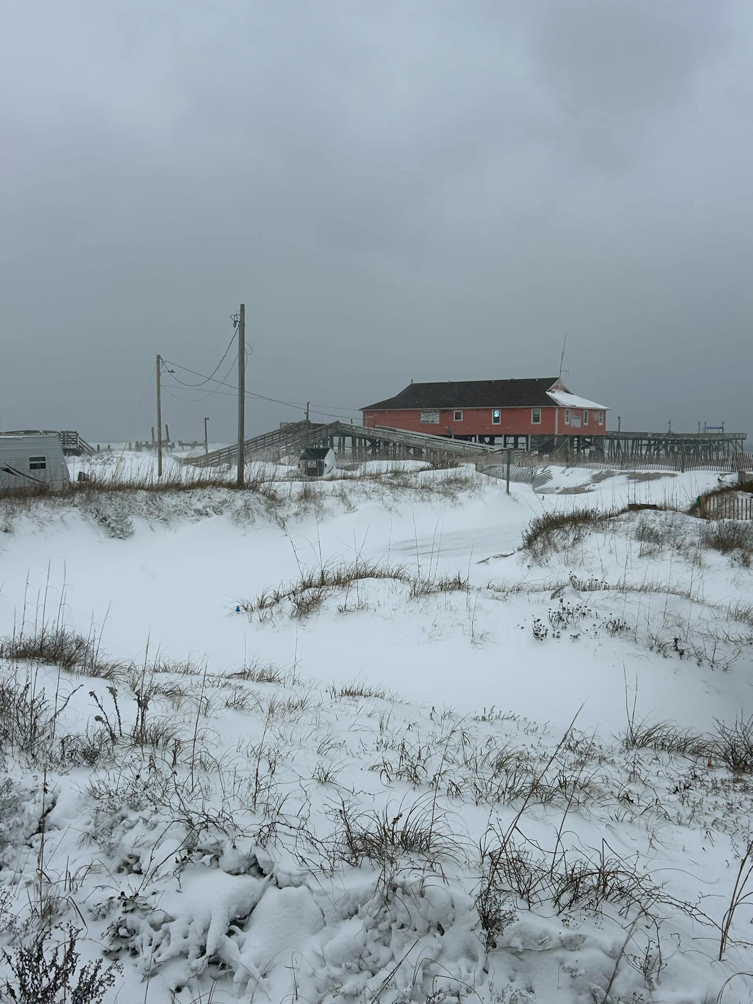

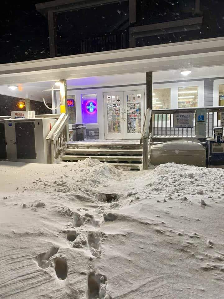
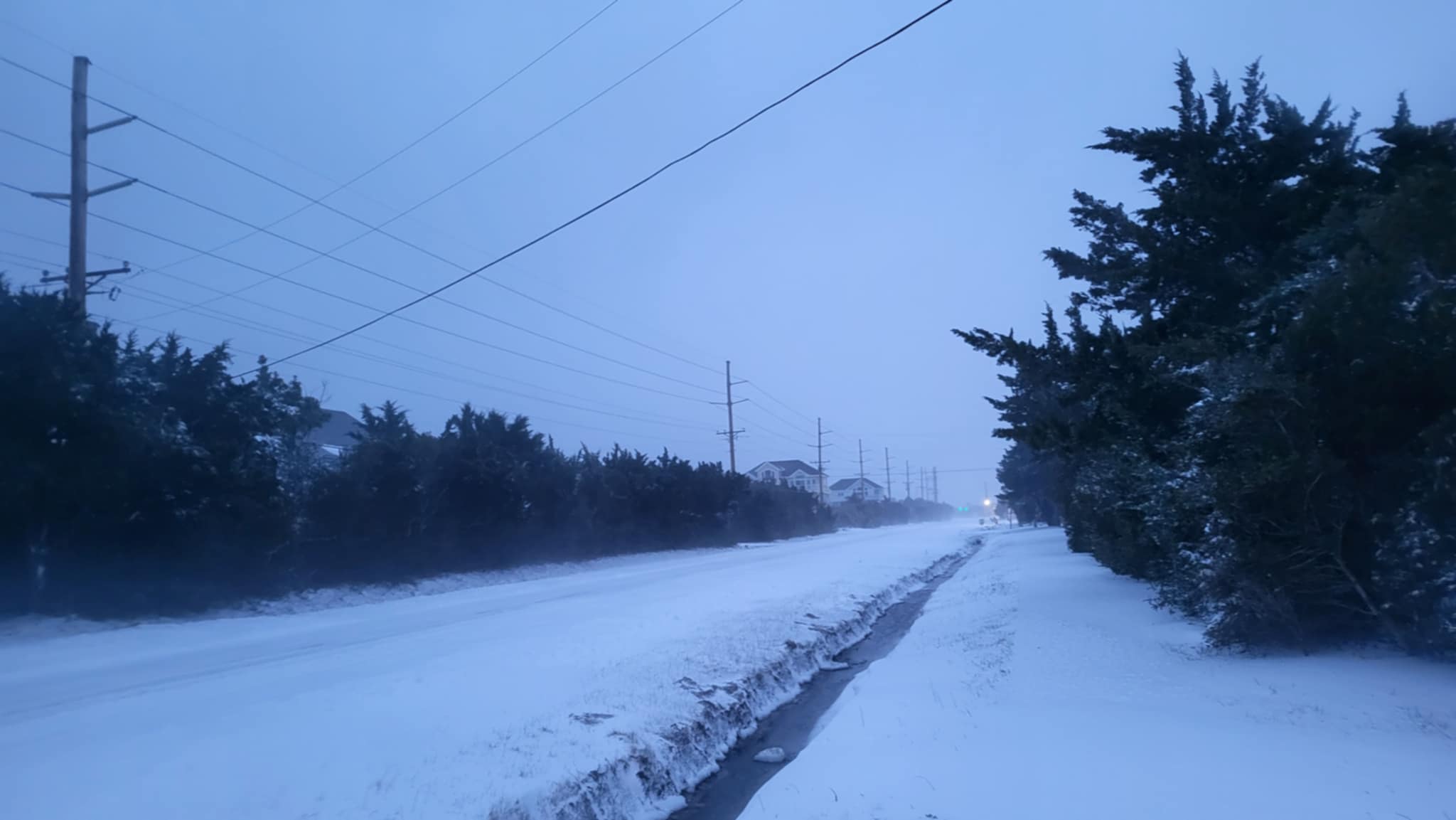
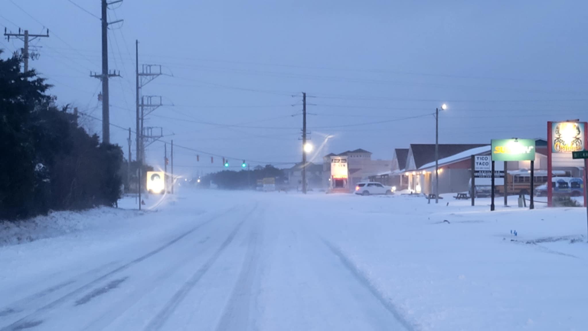
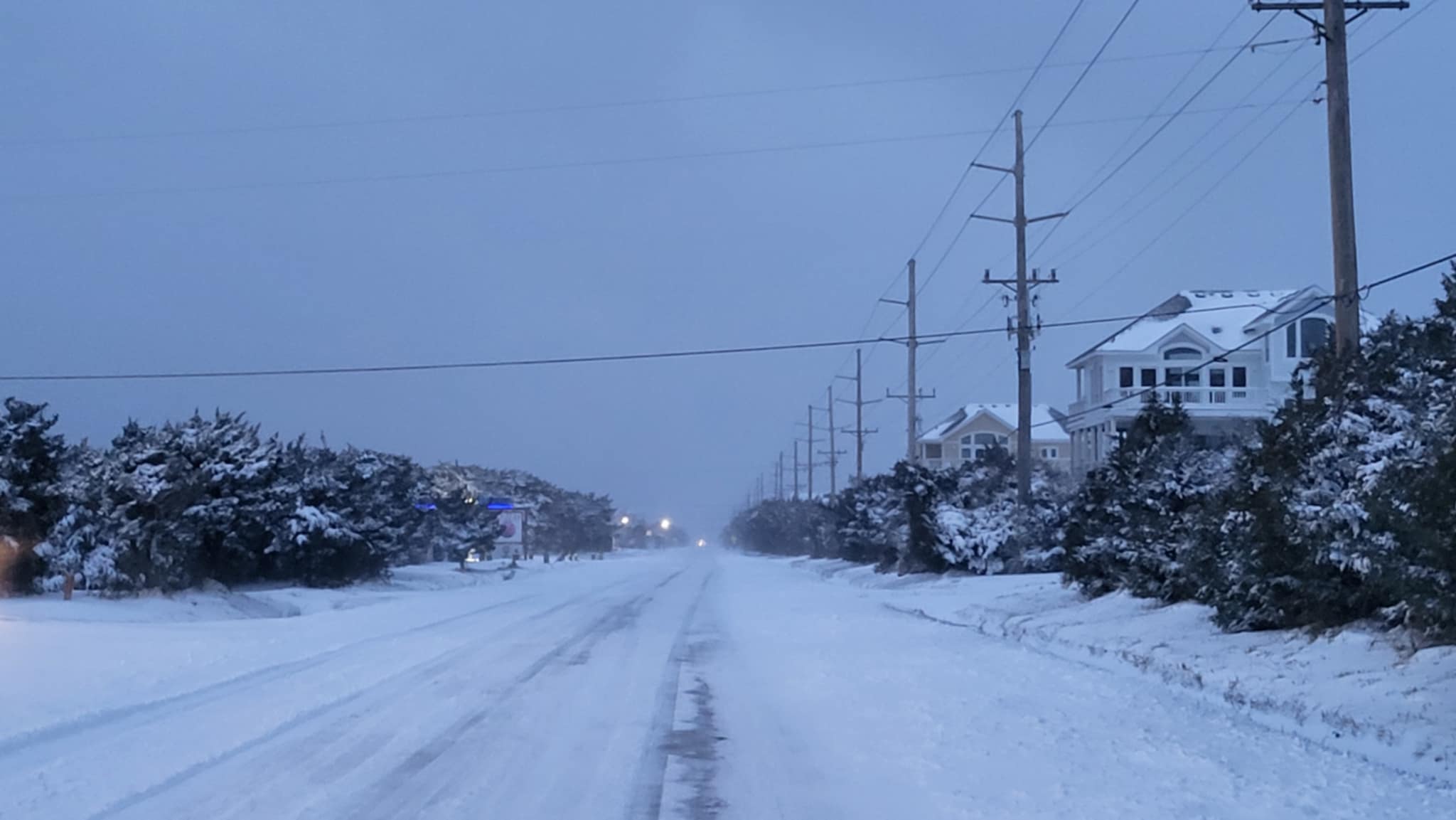
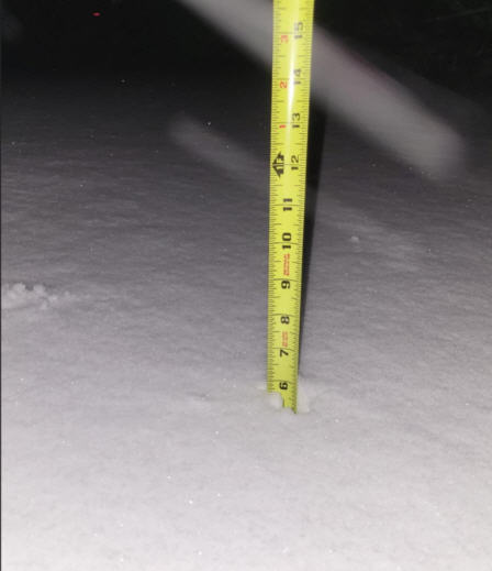
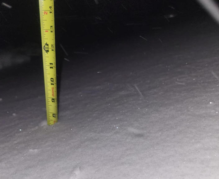
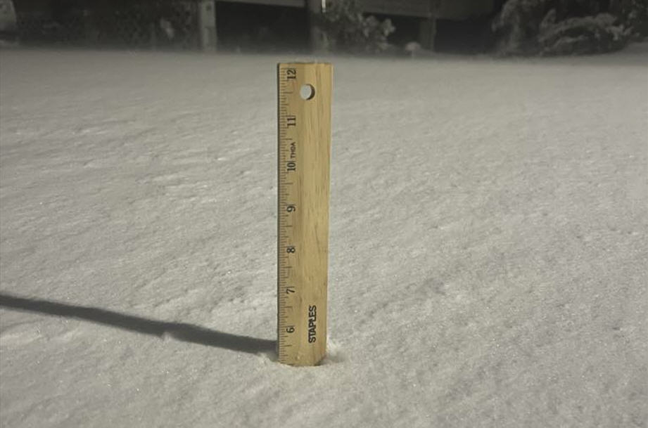
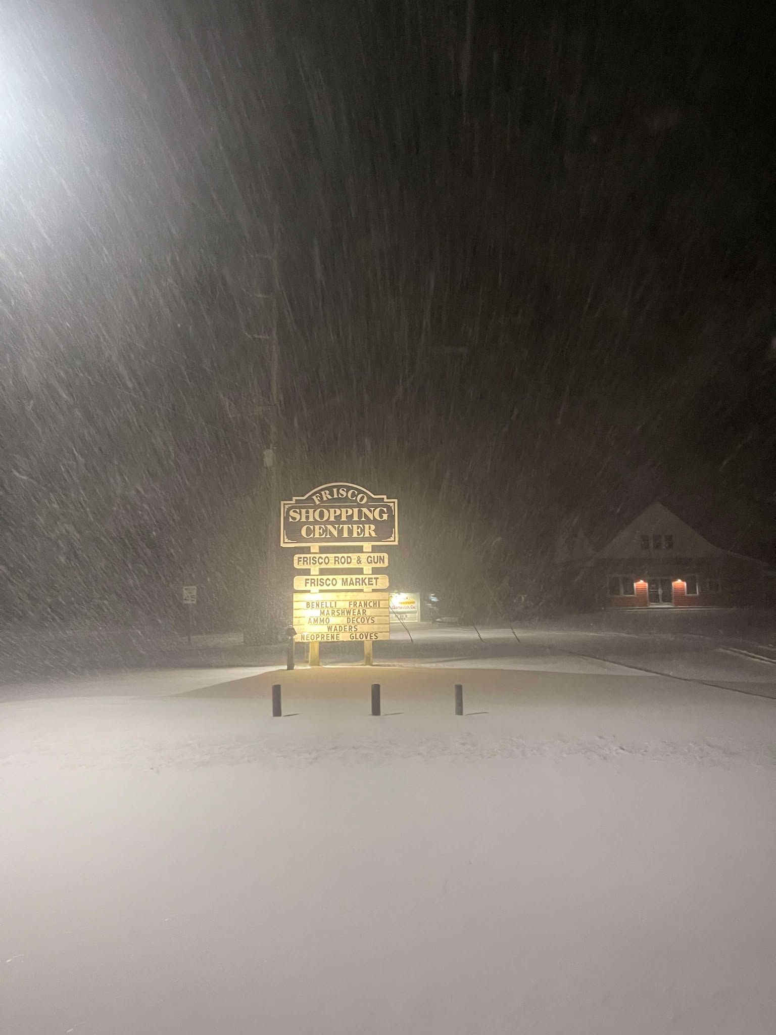
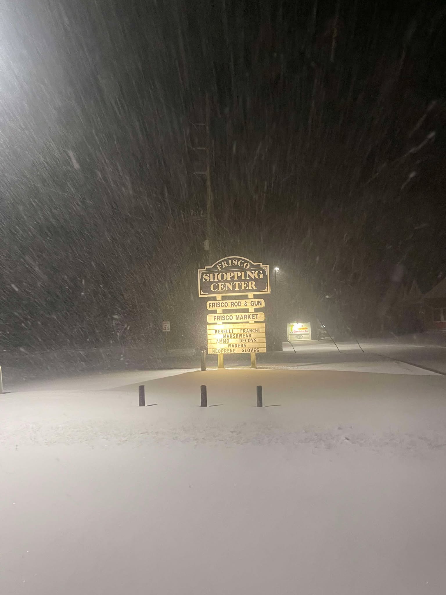
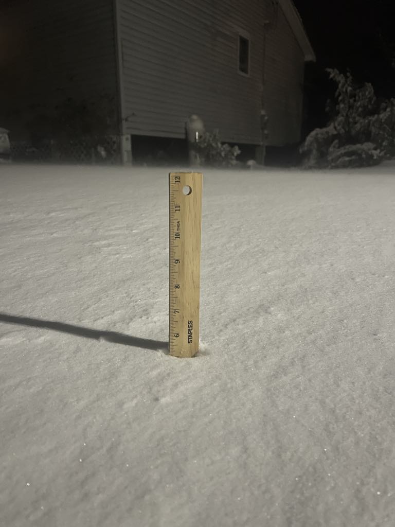
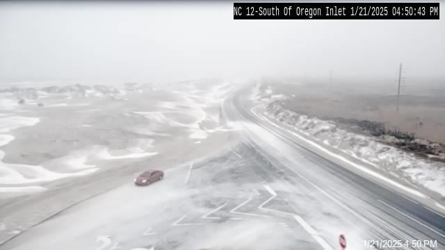
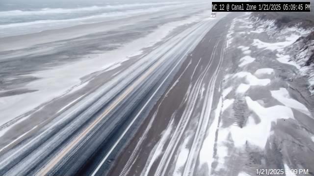
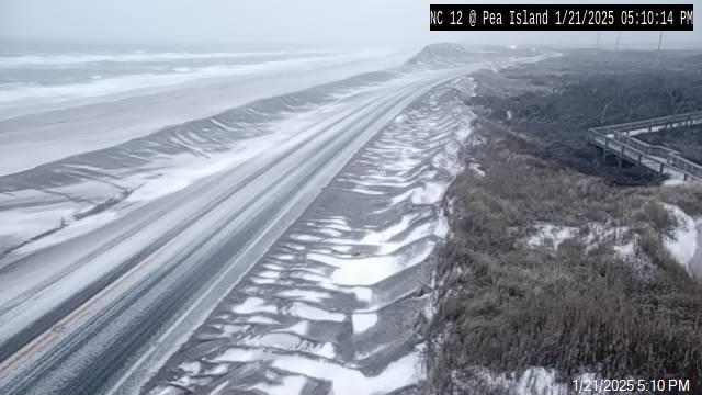
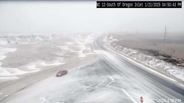



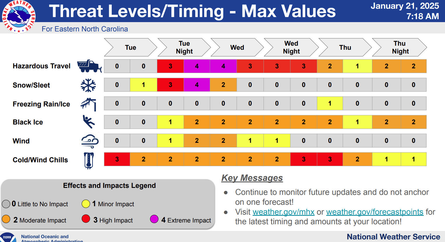
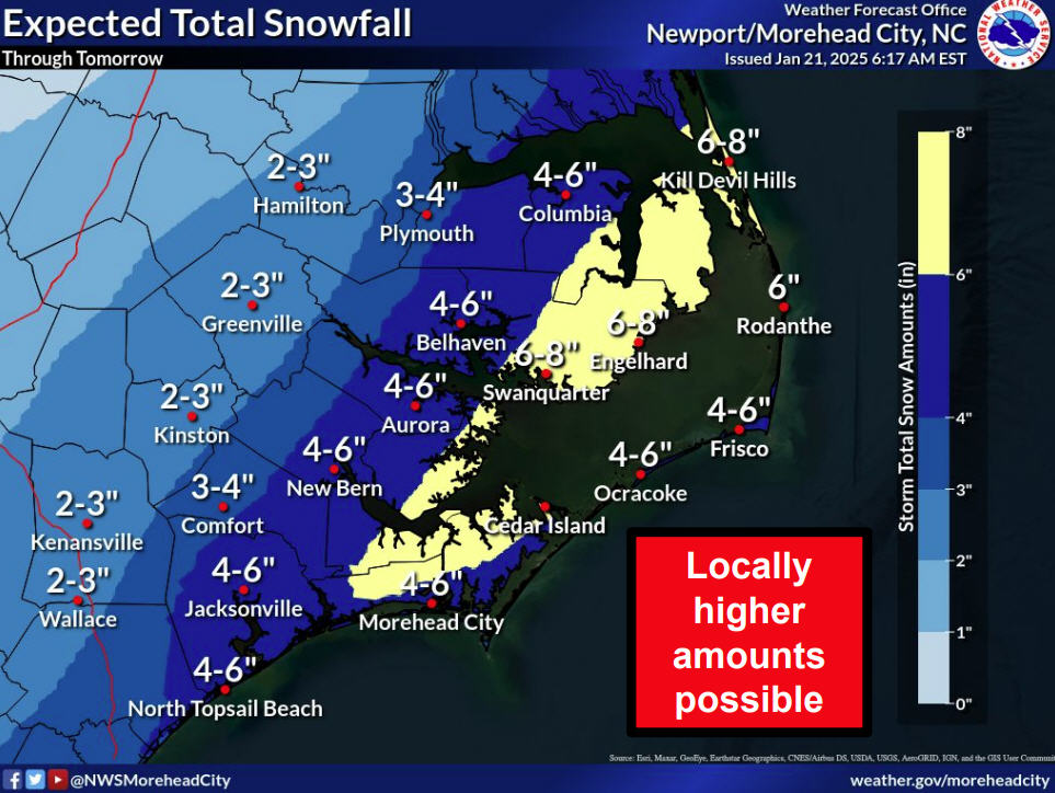


In other words, no real issues associated with this system, no wind, no swells, no surf, just a bit of rain.
Next!
Overhead swell filling in from West Va,