High risk of rip currents continues Monday; N.C. Highway 12 unimpacted by Hurricane Earl
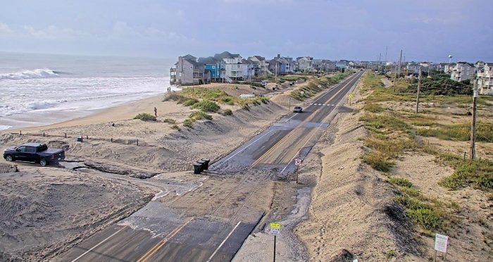
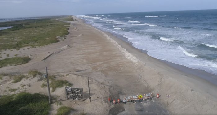
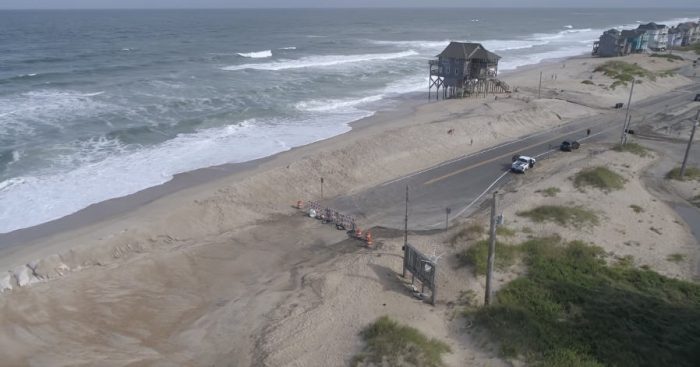
Video of the S-Curves in northern Rodanthe over the weekend by Altitude 12.
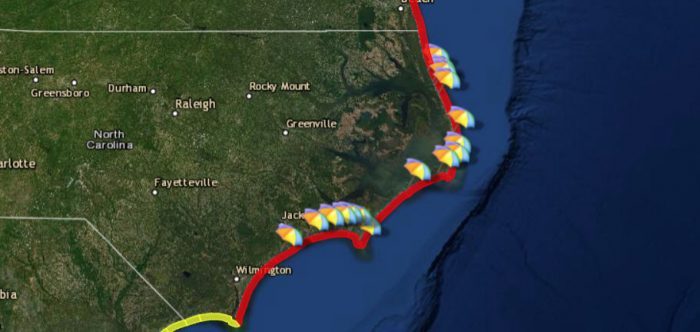
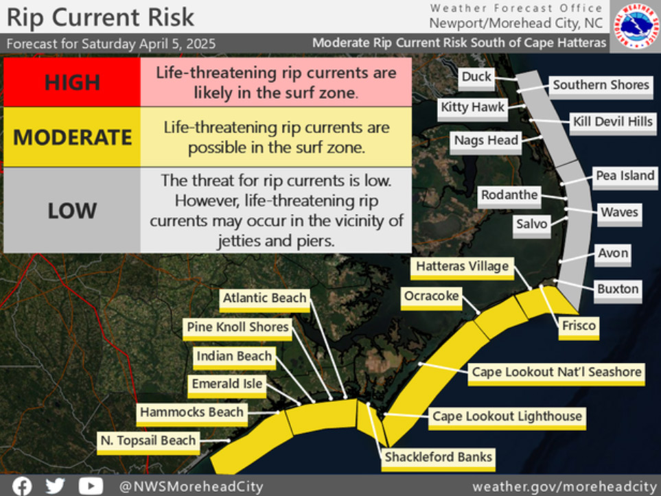
A high risk of rip currents continues on Monday throughout the Outer Banks, due to the effects of the remnants of Hurricane Earl, per an update from the National Weather Service.
An elevated threat of rip currents will likely remain for the first part of the week, and beachgoers are advised to check the National Weather Service’s beach conditions forecast at https://www.weather.gov/beach/mhx before heading to the shoreline. A high risk of rip currents means that the surf zone is dangerous for all levels of swimmers, and beachgoers should stay out of the water.
Hurricane Earl was the first test for the Jug Handle Bridge and the recently completed beach nourishment projects in Avon and Buxton, and N.C. Highway 12 was never impacted during the multiple-day period of large swells.
Oceanside flooding was reported in northern Rodanthe from Thursday night through the weekend, however, the flooding occurred in the S-Curves section of the island, which is now bypassed by the new Jug Handle Bridge, which opened on July 28, 2022.
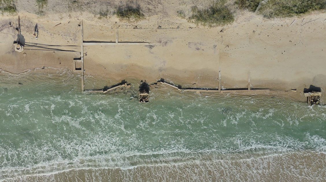
On Friday, the Cape Hatteras National Seashore advised visitors to avoid the beach between the north end of Rodanthe and South Shore Drive until later this week, due to ocean overwash, rough surf, and debris from nearby houses, including open and damaged septic tanks on the beach. Additionally, house-moving activities are occurring for multiple properties near the beach.
For more information on the local forecast, visit www.weather.gov/mhx for general weather information, or the National Weather Service office in Newport / Morehead City’s Facebook page at https://www.facebook.com/NWSMoreheadCity/.
