High Surf Advisory, Wind Advisory issued for Hatteras and Ocracoke Islands starting Wednesday
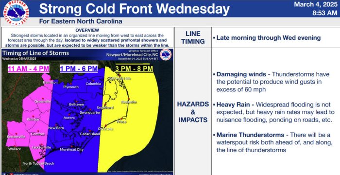
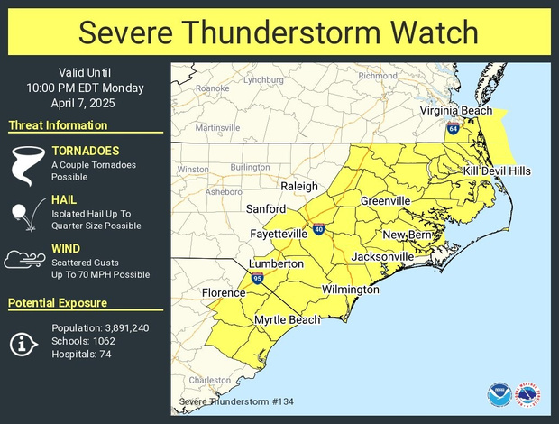
A strong cold front will move through the Outer Banks on Wednesday, bringing high winds, thunderstorms, and the potential for coastal flooding, according to an update from the National Weather Service (NWS).
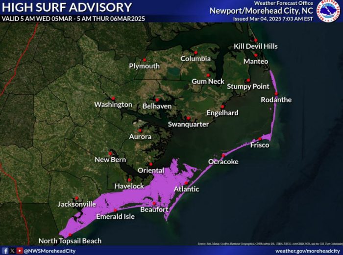
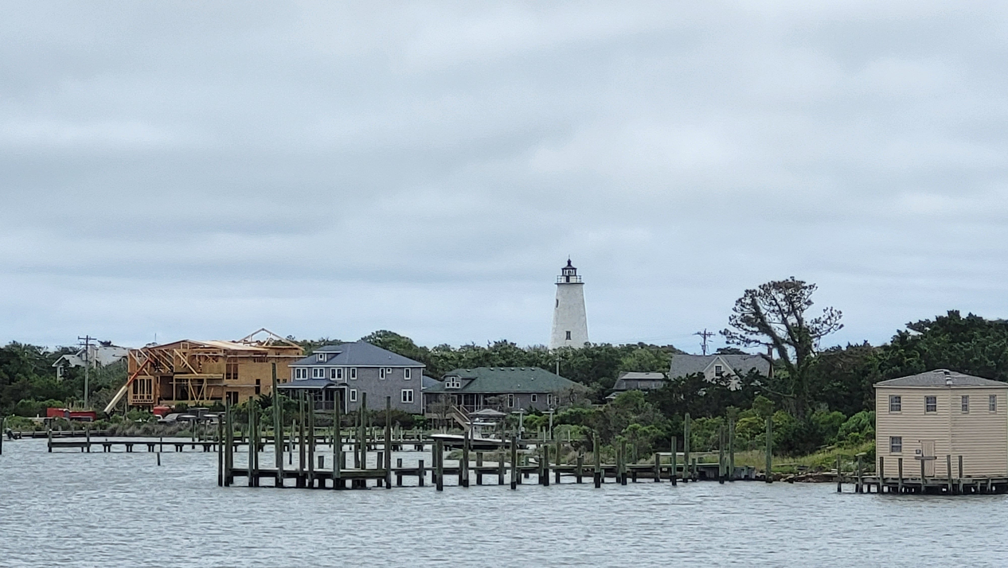
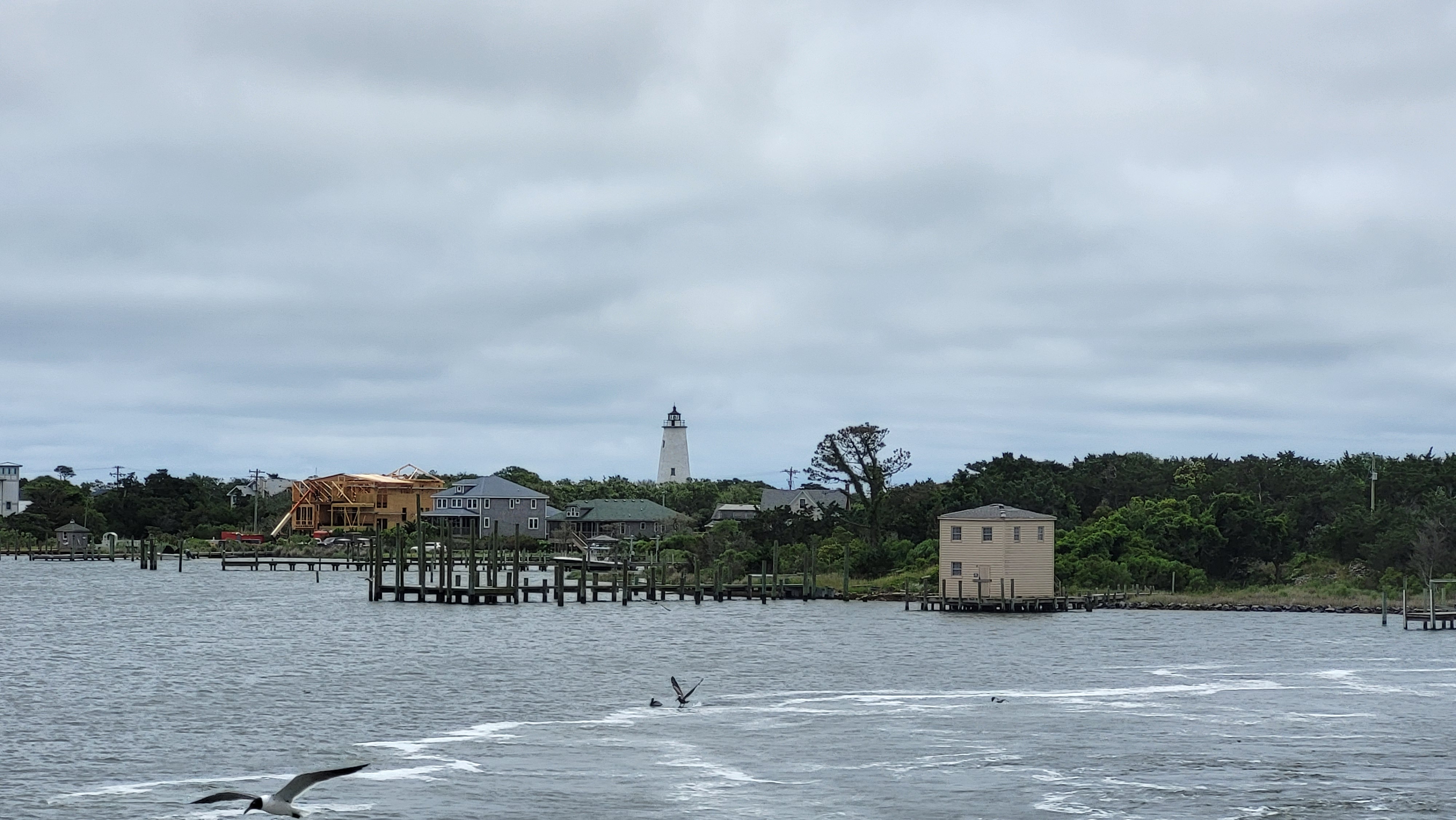
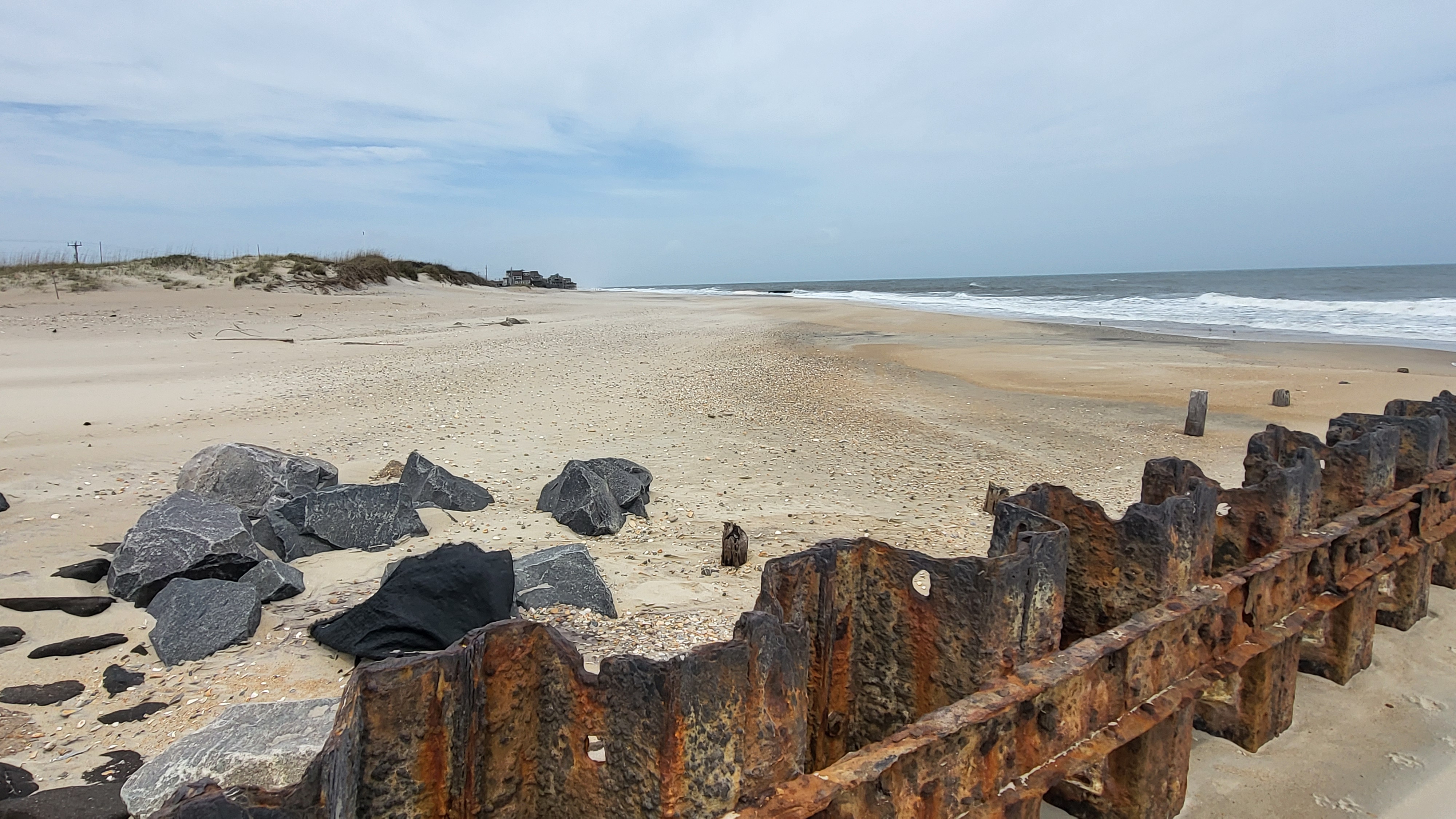
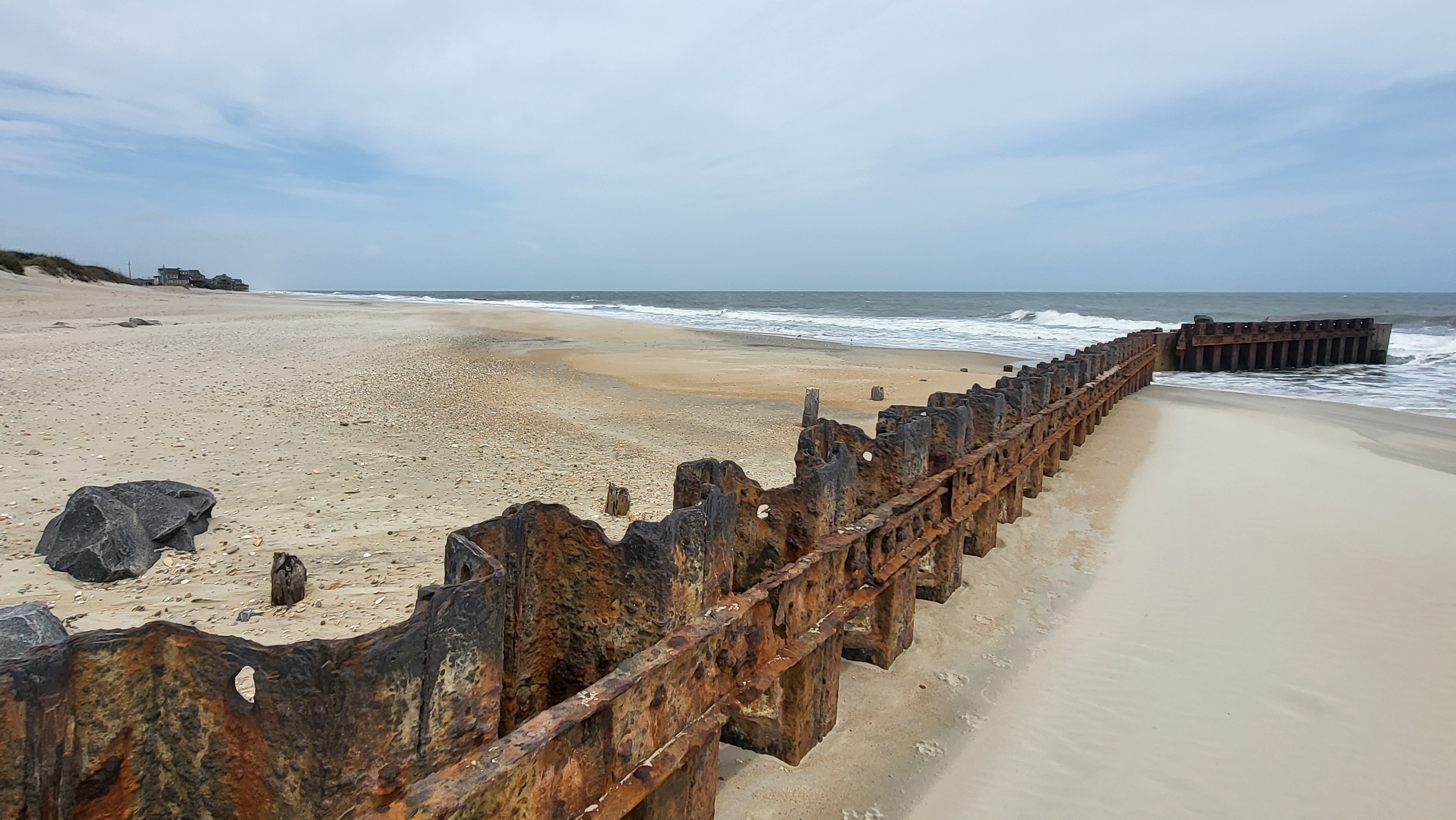
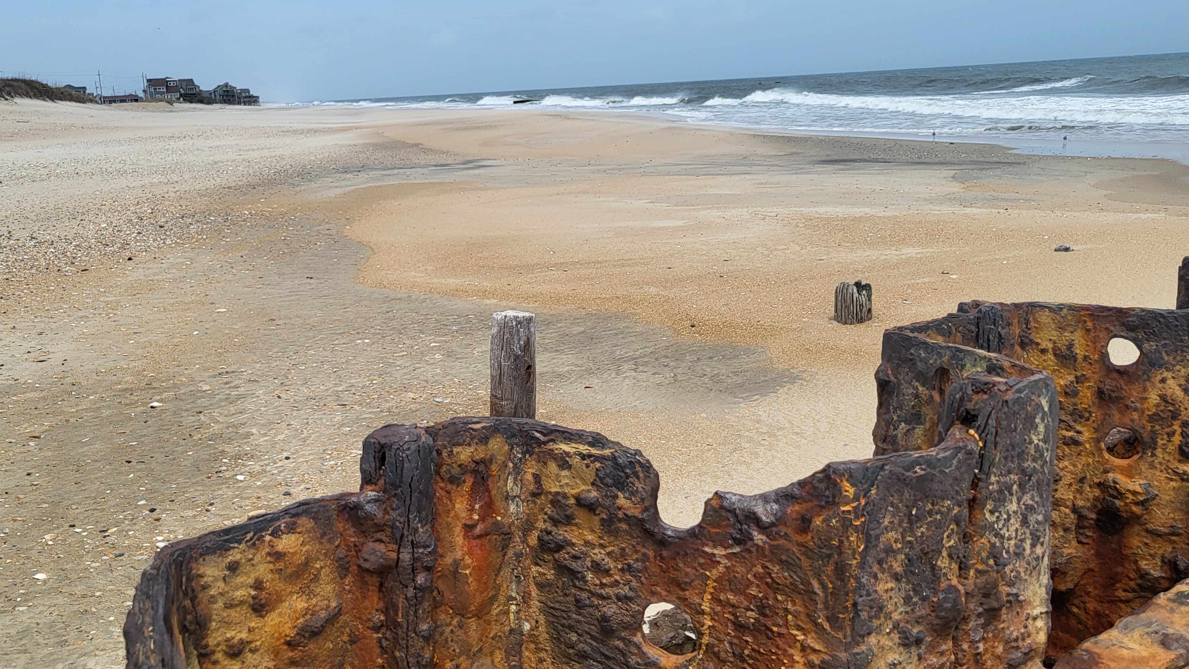
A High Surf Advisory is in effect for Hatteras and Ocracoke Islands from 5:00 a.m. Wednesday until 5:00 a.m. Thursday. There is the potential for minor beach erosion and localized ocean overwash, and the probability of elevated water levels for soundside locations along the Outer Banks is increasing due to both southerly winds ahead of the cold front, and northerly flow behind the front.

A Coastal Flood Advisory may be issued in a future update from the NWS.
A High Wind Advisory is also in effect from 9:00 a.m. Wednesday until 12:00 a.m. Thursday. Wind gusts up to 40-45 mph are currently forecast for the Outer Banks, although damaging wind gusts during heavy thunderstorms could reach 60 mph or more.
The most likely timing of thunderstorms along the Outer Banks is 3:00 p.m. until 8:00 p.m. on Wednesday, and while widespread flooding is not expected, heavy rains may lead to nuisance flooding and ponding on roads.
A list of local Outer Banks resources for additional information is as follows:
- For information on the local forecast, visit weather.gov/mhx for general weather information, or the National Weather Service office in Newport/Morehead City’s Facebook page at https://www.facebook.com/NWSMoreheadCity/.
- For local water level forecasts from the NWS, visit https://water.noaa.gov/wfo/mhx
- For updates regarding road conditions, visit DriveNC.gov and follow the North Carolina Department of Transportation and NCDOT NC 12 on Facebook. The Dare County Sheriff’s Office also shares local road condition updates on its Facebook page.
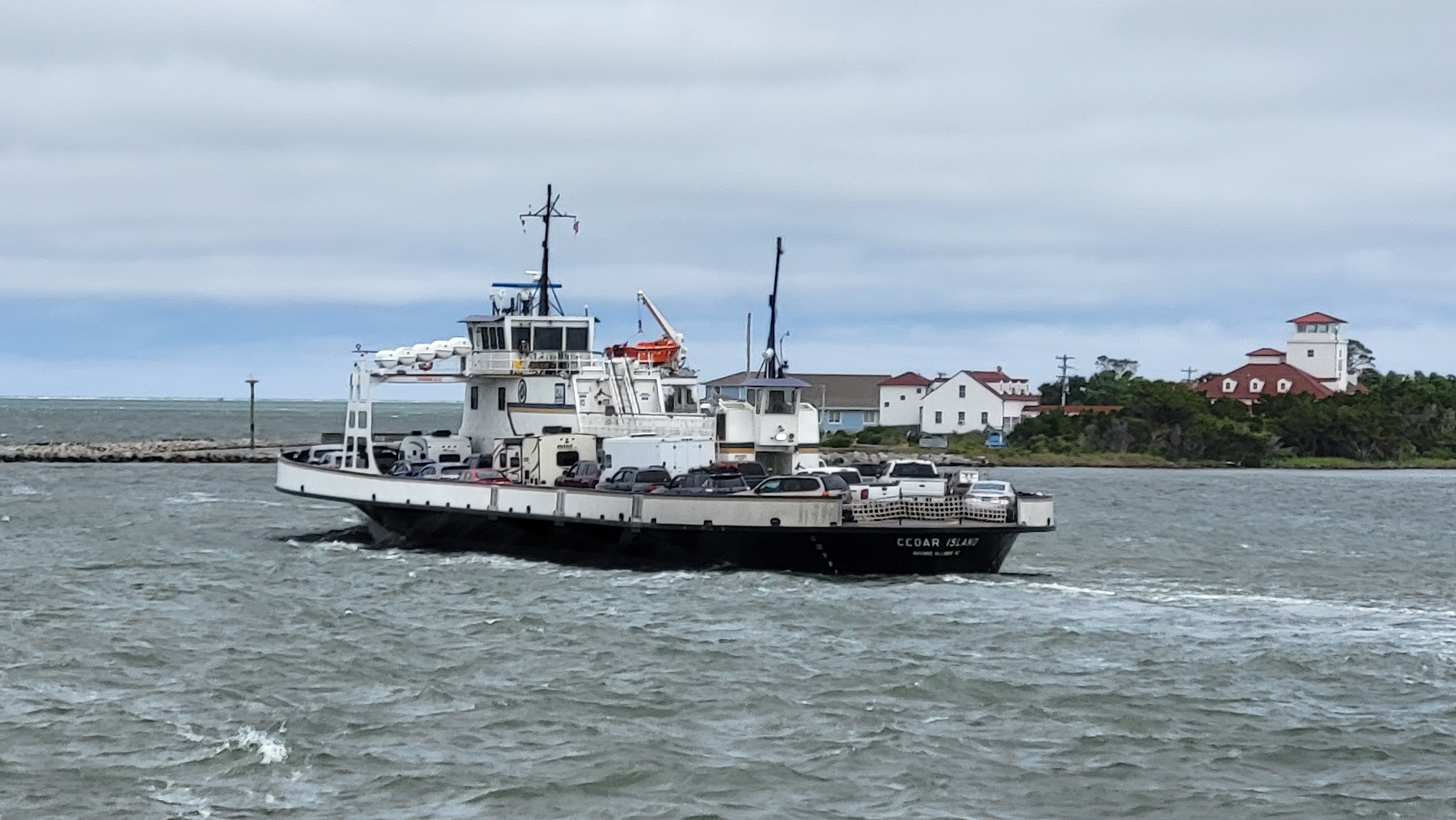
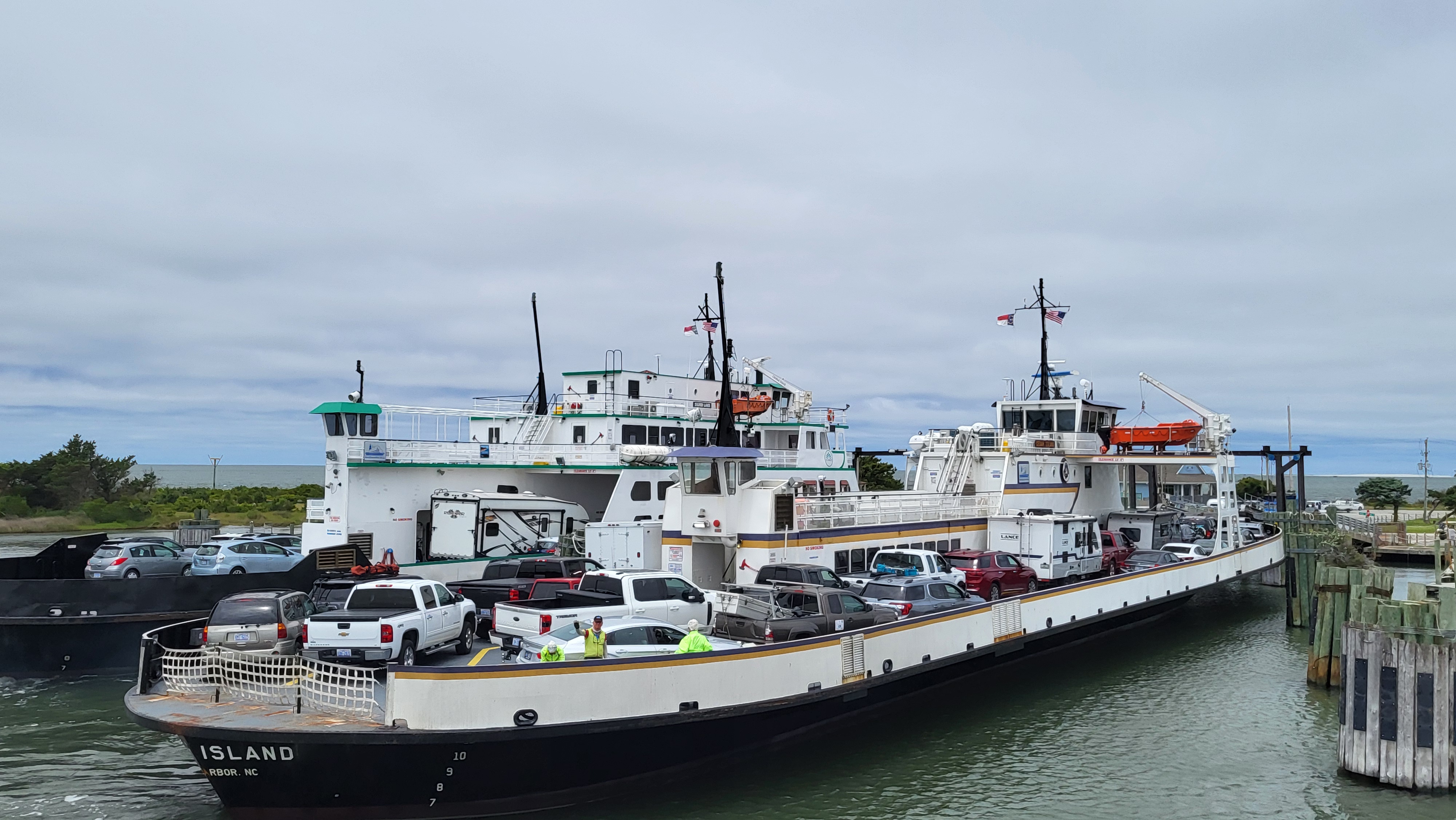
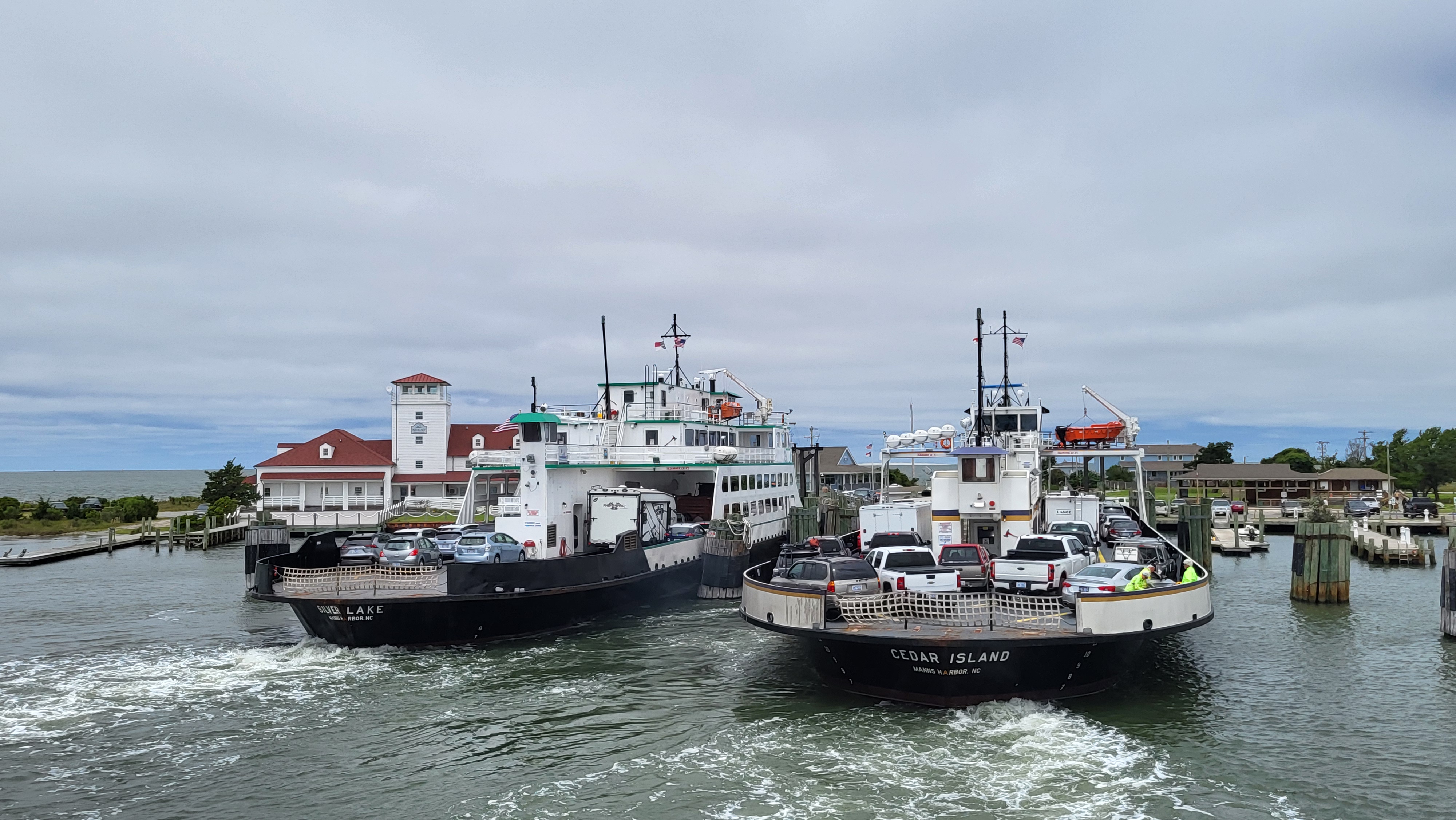
- To get notified of ferry delays or cancellations, sign up for text and/or email alerts via the N.C. Ferry System’s FINS system: www.ncdot.gov/fins.