Long-Term Plans Ahead for Shifting Sands
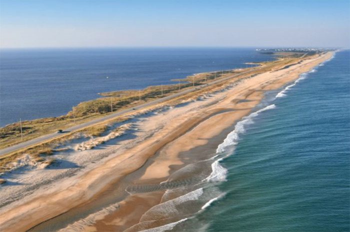
From beach nourishment to channel dredging to erosion control to material disposal to shoreline preservation, sand management in coastal North Carolina communities is no longer a sporadic chore.
It is an engineering challenge, a ballooning expense, a bureaucratic headache, an evolving menace.
With rapidly changing coastal dynamics, it is also a necessity and, increasingly, a blessing.
Long-term planning for projects — whether permitting or designing — that would replace, preserve, move and/or remove sand is currently underway or about to be implemented at local, state and federal levels in North Carolina.
Even the National Park Service on the Outer Banks — once a strict advocate of beach management policies that “let nature take its course” — has taken a proactive approach with its first-ever Sediment Management Framework. The document is intended to guide the National Seashore in addressing project requests while minimizing impacts on the natural resources.
“What this plan is all about is looking at a framework so that when others come to us … (it) allows us to respond to those partners,” National Seashore Superintendent Dave Hallac said in a recent interview.
Under the preferred alternative in the proposed action, which is expected to be finalized this spring, permitted activities could under certain conditions and limitations include soundside and oceanside beach nourishment and filling island breaches.
Even as erosion worsened in the late 1990s and early 2000s, National Seashore officials were reluctant to permit beach nourishment projects except after severe storms. But it became evident that natural resources were not always benefitting from the hands-off approach.
“We are losing habitat at this seashore to sea level rise and erosion,” Hallac said, adding that how much has been lost “depends on when you look.”
In some places, such as off Cape Point in Buxton, where the emergence of 27-acre “Shelly Island” a few years ago caused a sensation before it soon disappeared, sand comes and goes. But at other places, it’s been more of a problem when sand doesn’t come back.
“Twenty years ago, there was 1 to 2 miles of a spit at the end of Hatteras Island,” the superintendent said. “It’s gone — completely gone.”
Hallac said the Park Service’s policies, like the environment, have been adapting to coastal impacts from climate change and associated sea level rise. Still, the sediment plan is dovetailing and intersecting with existing management, rather than dramatically altering it, he said.
For instance, Hallac added, sand replenishment makes sense in the short term, but it’s not a cure for erosion.
“Beach nourishment is best used as a stop-gap solution to more permanent solutions,” Hallac said.
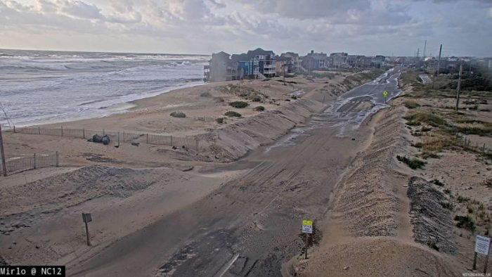
Mirlo Beach in Rodanthe illustrates an effective use of beach nourishment, he said. The beach there, known as “S-turns” to surfers, is one of the fastest eroding shorelines on the Outer Banks. A temporary nourishment project was done there while planning was underway for the “jug-handle” bridge. The bridge, now under construction, bypasses the eroded area, meaning that beach nourishment will no longer be necessary.
“The ocean is at the doorstep at Highway 12.”
— Dave Hallac, Cape Hatteras National Seashore
In the years since Hurricane Isabel in 2003 ripped a hole between Frisco and Hatteras village, overall storm damage, beach erosion and shoaling in waterways have worsened considerably in the National Seashore, which encompasses most of Hatteras and Ocracoke islands. But Hurricane Irene in 2011 and Hurricane Sandy in 2012 seemed to have dramatically changed the sand processes on the islands, filling channels that rarely had shoaled and taking away chunks of beach.
An area on the north end of Ocracoke Island near the Hatteras-Ocracoke ferry dock, for example, has become extremely eroded, making the road exceedingly difficult to maintain. During Hurricane Teddy last year, huge swells from an extreme high tide flattened the dunes, which had recently been repaired after damage from a previous storm.
“There’s just nothing left,” Hallac said of the shoreline. “The ocean is at the doorstep at Highway 12 south of South Dock.”
In addition to project needs from the North Carolina Department of Transportation, he said, Dare County continues to plan beach nourishment projects on the island.
By doing much of the environmental review documentation ahead of time, the framework will be more efficient and timelier for all involved.
“Cape Hatteras National Seashore simply does not have the financial capacity to do beach nourishment,” Hallac said. “But we also recognize that the natural environment has been altered.”
So have the rules statewide for coastal projects. For many decades and until not that long ago, dredge contractors would scoop out shoaled channels and dispose of the spoils at what they deemed suitable spots, leaving them to become real estate for migratory birds and turtles.
And when sand piled up at inconvenient places, property owners would get out their plows and push it away. If they needed to fill a beach bald spot, they would take sand from where there was plenty and truck it to where it was skimpy.
Along the way, bulkheads and sandbags and groins and jetties were installed to keep sand from coming or going.
With the growth in population necessitating the growth in environmental regulations, the old days of “no permit, no problem,” are mostly a dim memory. But so are the days when shoreline projects were funded by fat government budgets often stuffed with line-item “pork” to dole out to constituents.
Over the years, the federal budget for the Army of Corps of Engineers has been pared down to the extent that communities now need to pay all costs for them to do beach nourishment projects, and often, to dredge their channels.
In 2018, the Corps stopped allowing any dredged material that was not associated with a Corps project to be dumped at their dredge material sites, leaving communities scrambling to find places to place material dredged from their non-federal waterway projects.
“There was a history of the Corps allowing their islands to be used,” Kathleen Riely, executive director of North Carolina Beach, Inlet and Waterways Association, said in a 2019 interview. “So, when it was stopped, it was like ‘Boom!’ Really, you didn’t have any chance to adjust.”
Riely said that along the southern end of the coast, nearly every disposal area was owned by the Corps.
“But I think that as spoil areas get used up more and more,” she said, “it’s just a matter of time that everybody feels this.”
In response, the state has launched a Dredge Materials Management Plan to evaluate the federal and nonfederal placement facilities.
The state signed an agreement in late 2020 with the Corps to work on identifying upland disposal sites for dredge material and build and map a GIS database, according to Kevin Hart, coastal infrastructure grant program coordinator for the state Division of Water Resources.
“The goal is not just to figure out where to put that material, but how to best use that sediment as an asset.”
— Ken Willson, Coastal Protection Engineering
Phase I of the total $266,000 project is expected to be completed in about a year, he said. Phases II and III — assessment of the sites and assessment of dredging needs, respectively — will follow, depending on funding. Meanwhile, the Corps has analyzed sediment needs as part of its South Atlantic Coastal Study. In its 2020 Regional Sediment Management update, the document recommended projects for numerous beneficial uses, including to restore wetlands and stabilize shorelines.
“Significant value and coastal resiliency can be achieved across (the South Atlantic district) through placement of sand in the nearshore environment but will require coordination among USACE districts, agencies, and the dredging industry to effectively implement a nearshore placement program,” it said. “Placement strategies such as nearshore placement … and open water dispersal should continue to be implemented and refined throughout the Division to support long-term coastal resiliency and USACE programmatic efficiencies.”
Also, Dare County has contracted with Ken Willson, senior project manager at Coastal Protection Engineering of Wilmington, to analyze the southern and central coastal areas to find suitable disposal sites for channel dredging projects, including Rollinson Channel in Hatteras Inlet and the Manteo/Shallowbag Bay interior channels leading from Oregon Inlet.
“The goal is not just to figure out where to put that material, but how to best use that sediment as an asset,” Willson said.
Willson said that he hopes to be able to present project proposals to the Dare County Board of Commissioners this month.



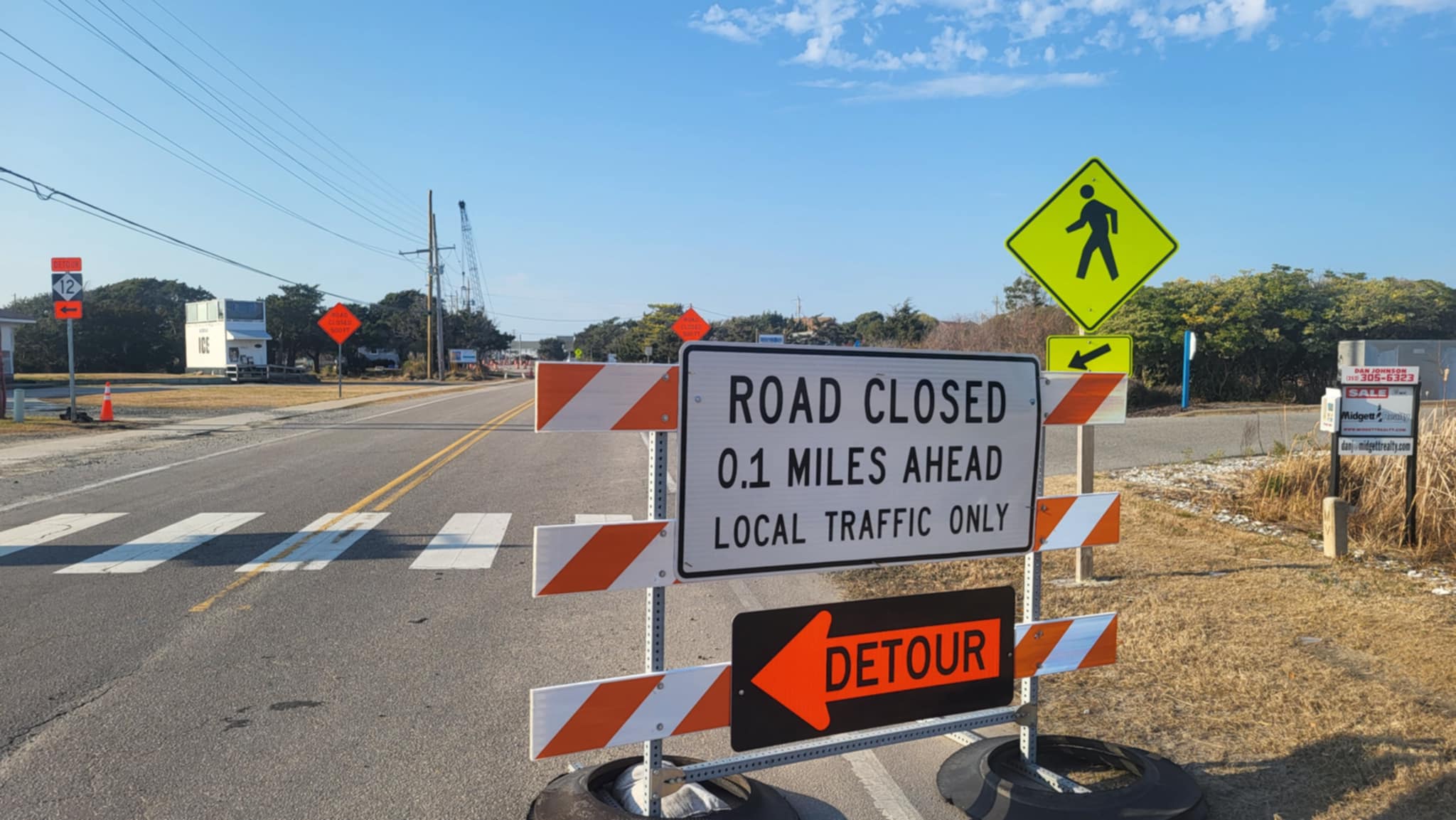
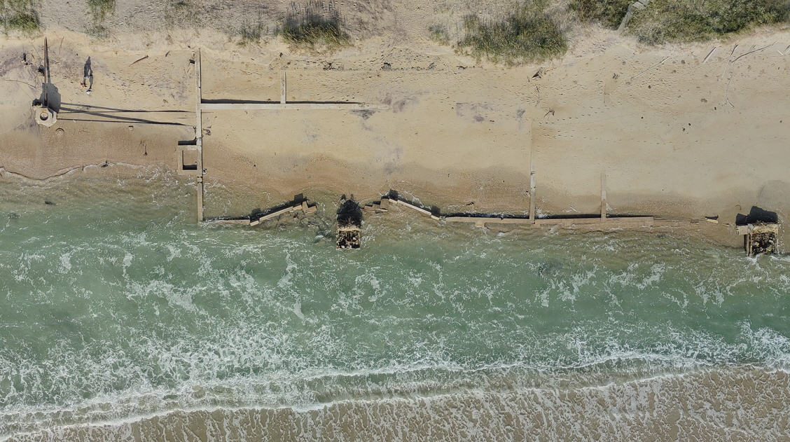




Normal when dune lines are built preventing overwash. Dune lines are proven to cause erosion.
Overwash is necessary for a healthy ecosystem that self preserves.