More heavy rain possible through Friday, followed by drier trend
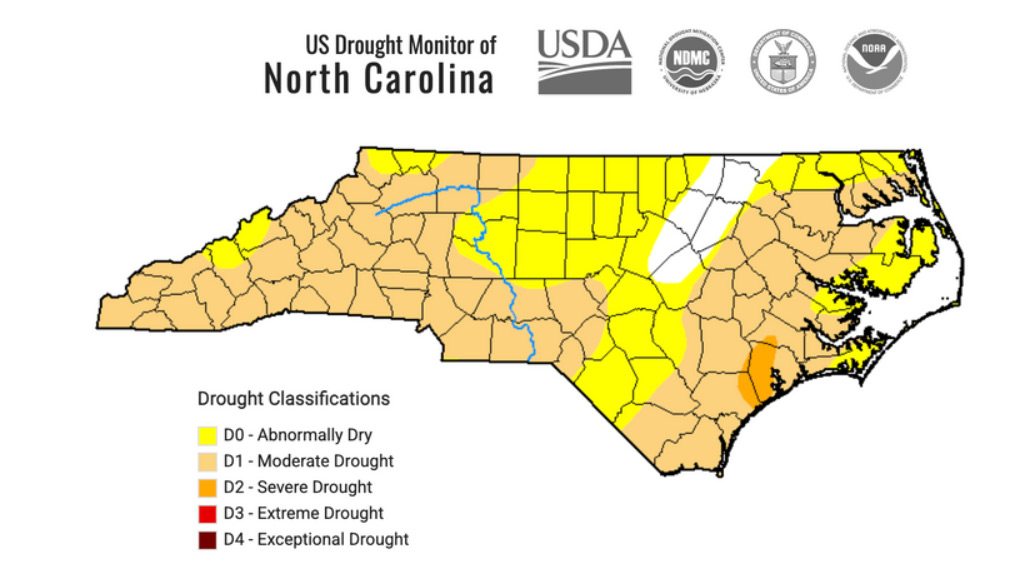
After the driest month of June on record, July may break records for one of the wettest across Northeastern North Carolina and the Outer Banks as a stagnant weather pattern is forecast to continue the rest of this week.
But there may be a bit of relief on the horizon, as drier conditions are expected to return by this weekend.
High pressure offshore, a stalled weak frontal boundary to the west, and weak waves of low pressure moving through the upper atmosphere have combined to create scattered showers and thunderstorms that have been dumping as much as 2 inches of rainfall per hour on some locations since late last week.
That has led to areas that were experiencing drought conditions just two weeks ago to now having to deal with flooding issues.

A few places in the region have received more than 12 inches of rain over the last two weeks alone.
On Tuesday afternoon, a series of thunderstorms moved over Kitty Hawk, Kill Devil Hills, Nags Head, and Roanoke Island, covering roads and some neighborhoods with up to a foot of water at times.
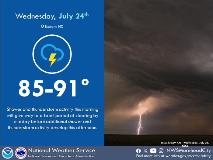
The National Weather Service said to expect more of the same on Wednesday.
While some places may only see a mix of sun and clouds with steamy conditions, scattered showers and storms that develop could again drop heavy rainfall and possibly create damaging wind gusts.
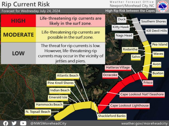
On the beaches, it is a red flag day from Cape Hatteras southward due to numerous rip currents. Everyone should stay out of the ocean off Frisco, Hatteras Village, and Ocracoke.
It will be a yellow flag day from Oregon Inlet to Buxton, where a moderate risk of rip currents is expected and only experienced surf swimmers should be in the ocean off Pea Island, Rodanthe, Waves, Salvo, Avon, and Buxton.
The risk is low from the state line to Oregon Inlet, but rip currents can still happen off Carova, Corolla, Duck, Southern Shores, Kitty Hawk, Kill Devil Hills, Nags Head, South Nags Head, Coquina Beach and Bodie Island.
The greatest risk of rip currents is a few hours before and after low tide, which is around 4 p.m. today.
More widespread coverage of rainfall is expected on Thursday and into Friday, before a stronger front passes through Friday night and finally clears things out.
Dry air and seasonable temperatures are forecast to move in for the weekend through early next week.
