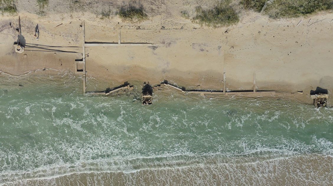
Storm surge flooding reported in Ocracoke
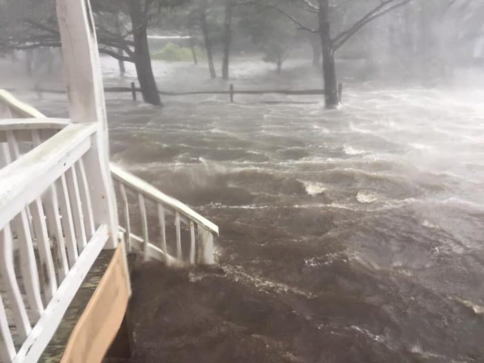
Major storm surge flooding was reported in Ocracoke at approximately 7:30 a.m. on Friday as Dorian moved north towards Hatteras Island. There were no reports of storm surge flooding yet on Hatteras Island as of 8:30 a.m., however water levels in the Pamlico Sound and adjacent canals were drastically low. The public can access flood gauges online to view water levels in real-time at fiman.nc.gov, or can download the ReadyNC App and check the Flood Gauge tab. 4-7 feet of storm surge continues to be forecast for Hatteras Island.
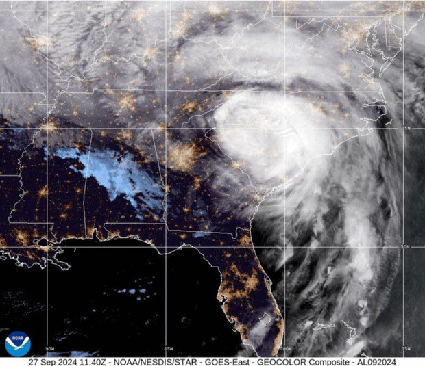
As of 8 a.m., the center of Dorian was located 10 miles WSW of Cape Hatteras with maximum sustained winds of 90 mph. The storm is moving toward the northeast near 14 mph (22 km/h), per the latest update from the National Hurricane Center.
Dangerous, life-threatening conditions from Hurricane Dorian will remain throughout the day with strong winds, heavy rains and storm surge from ocean and soundside flooding. As conditions deteriorate this morning, Dare County Emergency Management urges residents to stay indoors and shelter in place. Emergency responders will be unable to respond to calls for assistance when conditions put their safety at risk.
Video by Andrea Powers


