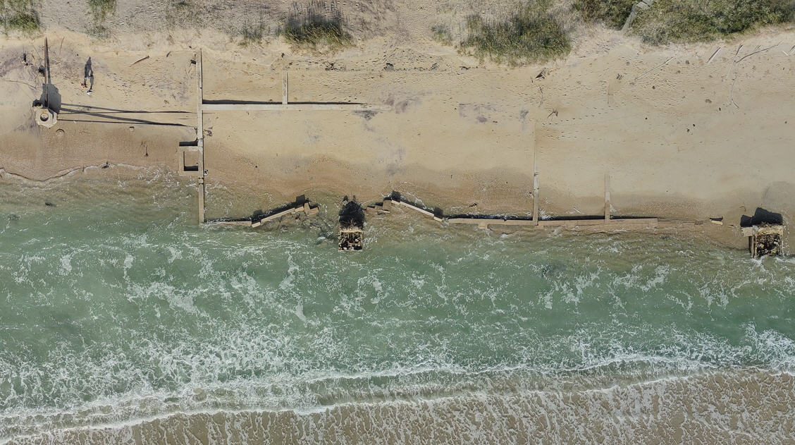
Worst Impacts Expected to Begin Tonight; N.C. 12 Overwash Only Reported in Avon with Saturday Morning’s High Tide
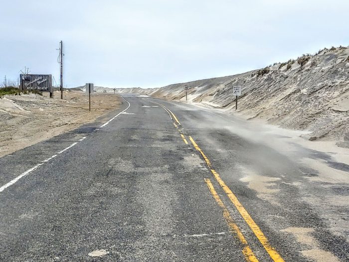
Ocean overwash on N.C. Highway 12 was limited to Avon village near Ocean View Drive as of 1:45 p.m. on Saturday afternoon, with no overwash reported yet in Buxton, Rodanthe, and southern Hatteras Island.
However, the worst impacts of the coastal storm are expected to begin late Saturday, with storm surge inundation of 2 to 4 feet above ground level still forecasted for Hatteras Island, and locally higher amounts possible.
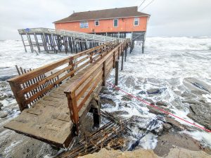
Per the National Weather Service Newport / Morehead City office, the worst impacts from the coastal storm will occur later tonight and Sunday as the upper and surface features become vertically stacked, resulting in strengthening of the surface system. While ocean overwash will be the primary threat, soundside flooding will also be a large concern across Southern Hatteras Island, Ocracoke Island, Downeast Carteret County and into the Lower Neuse River. Soundside impacts include potential flooding of homes and businesses in close proximity to the waterfront.
In some areas on the oceanfront north of Cape Hatteras, battering waves with significant wave run-up will cause damage to property. Numerous roads will be impassable under several feet of water and vehicles could be submerged. Portions of N.C. Highway 12 will likely become inundated and impassible over the next few high tide cycles.
Offshore peak wave heights of 15-23 ft. continue to be forecast with the coastal storm, as well as 4-6 inches of additional rainfall for Hatteras and Ocracoke islands. Persistent high winds with gusts up to 60-70 mph have the potential to cause widespread power outages.
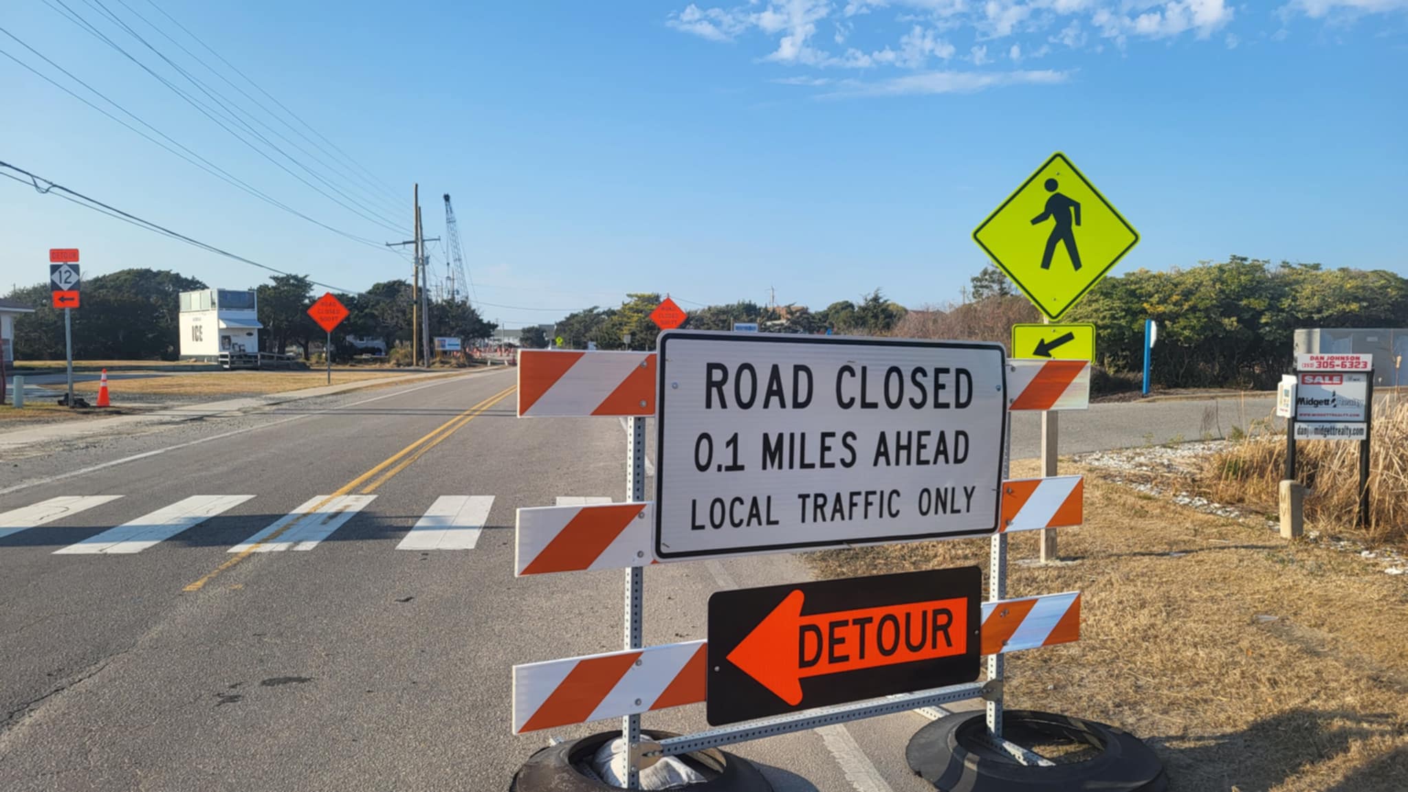
Crews with the N.C. Department of Transportation have been working throughout the day, and are using front-end loaders and other equipment to clear sand that has blown onto N.C. 12 on the northern part of Hatteras Island in the Pea Island National Wildlife Refuge.
The slow-moving low pressure system will finally move away from the region on Monday, with winds diminishing rapidly, though high surf will continue north of Cape Hatteras into early next week.
The next high tide is around 10:00 p.m. on Saturday night.
For information about current road conditions from the North Carolina Department of Transportation (NCDOT), visit drivenc.gov or dial 511. When dialing 511 on weekdays from 8:15 a.m. to 7:45 p.m., weekends from 8:15 a.m. to 4:45 p.m., callers speak directly with an operator who can answer traffic and travel-related questions. Overnight and during emergencies, travelers should go to DriveNC.gov for the latest travel information. For real-time travel information, visit DriveNC.gov or follow NCDOT on social media.
For more information on the local forecast, visit www.weather.gov/mhx for weather information, or the National Weather Service office in Newport / Morehead City’s Facebook page at https://www.facebook.com/NWSMoreheadCity/.
The Island Free Press will continue to post updates on the storm as soon as they become available.
Video Player
00:00
00:00
Video of Rodanthe on midday Saturday by Tim Fitch.


