Celebrate GIS Day with Look Back Map
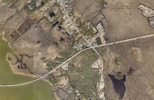
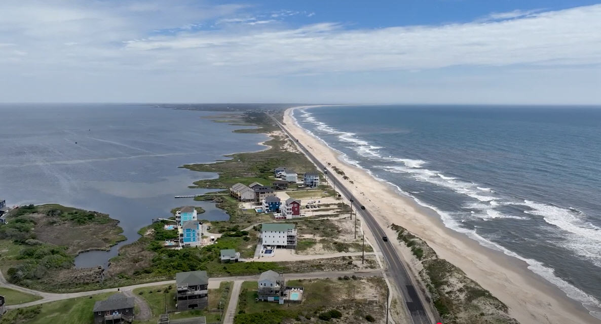
In celebration of Geographic Information Systems (GIS) Day on Wednesday, November 13, the Dare County Department of Information Technologies GIS Division has developed a Look Back Map. The map provides users with the opportunity to explore and visually compare the changing landscape of Dare County of 1996 to 2019. GIS is a scientific framework for gathering, analyzing, and visualizing geographic data. Dare County GIS provides a wide variety of digital mapping resources and released a variety of new mapping tools this year including a community map, a trash collection map, and a map of duck blinds. The Look Back Map in celebration of GIS Day can be accessed at https://gis.darecountync.gov/gisday/2019/. Additional mapping resources from Dare County GIS can be found at https://gis.darecountync.gov/.


