New report says ferries still not an option for access to Hatteras Island
No high-speed ferry exists today that could safely carry millions of vehicles a year across the heavily shoaled Oregon Inlet and Pamlico Sound, according to a new transportation report released late last month.
And even if engineering a shallow-draft, high-capacity ferry were possible, it said, the cost would be prohibitive.
In response to renewed public questions about a ferry alternative to the Herbert C. Bonner Bridge replacement project, the Federal Highway Administration and the state Department of Transportation took a new look at the feasibility of using ferries rather than a bridge to carry vehicles and people across Oregon Inlet.
“The problem is two-fold,” said Ferry Division Deputy Director Jed Dixon. “Unless you have a vessel that doesn’t displace water, like a hovercraft, the draft is a major concern. Then there’s the environmentals and maintenance of that channel.”
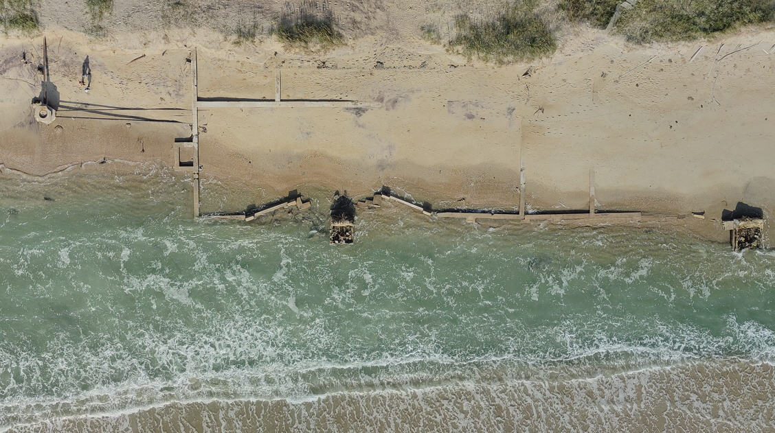
After Hurricane Irene in 2011 blew an inlet through Pea Island, flattened dunes, and severely damaged the road at the S-curves in northern Rodanthe, some environmental groups and coastal scientists suggested that ferries could be a better long-term solution than a bridge to providing access to Hatteras Island.
But in reviewing available options and the cost involved, the report concluded that ferries remain “an unreasonable transportation alternative” for the island. And there is no high-speed ferry on the horizon that could operate in shallow Outer Banks waterways.
“We’re up against a lot of challenges just running conventional ferries,” Dixon said. “There would have to be a whole lot of money spent dredging and maintaining that channel.”
Every year, a total of about 2 million vehicles cross Bonner Bridge, averaging about 5,400 per day, said the report, which was signed on Jan. 31. As those who regularly cross the bridge know, traffic, mostly from tourists, increases vastly in the summer.
But the bridge, the only land route to Hatteras Island, also provides critical year-round access to the island for Outer Banks residents and for emergency personnel. It also is vital for carrying supply and service trucks, as well as telephone and electric wires across Oregon Inlet.
If a ferry system operated between Bodie Island and Rodanthe, the range of the Bonner project, about 420 acres would have to be dredged to create an 18-mile channel, removing about 10.8 million cubic yards of material. About 38 river class ferries would be needed, twice the number of vessels currently in use by the division.
Total costs to operate and maintain the system for 50 years at the current traffic levels are estimated at $6.3 billion, substantially more than any other option.
River class ferries cost $12 million each and can travel at 12 mph. The vessels hold 38 vehicles and have a 4.5-foot to 5.5-foot draft, the report said, the shallowest of any known standard ferry in operation. As it is, the channel depth required is 10- to 12-feet, which has been nearly impossible to maintain this winter in Oregon Inlet and Pamlico Sound.
Hovercraft and catamarans, which skim the top of water, can carry about 80 vehicles and travel up to 50 mph. The down side is there is no offsite maintenance facility available, and the high speeds could be dangerous in Outer Banks conditions.
Even if an air-cushion vessel could be built specially for the Outer Banks, according to input from a British representative of a hovercraft company, “It is doubtful that custom-manufactured vessels would be cost effective, even taking into account the amount of dredging required,” the report said.
“I’m not going to say that it’s impossible,” Dixon said, “but it’s going to come with a huge expense. We would have to dig a whole new channel.”
Other high-speed ferries used successfully overseas for both passenger and vehicular traffic have drafts that are too deep to operate here safely, Dixon said. Channels routinely shift and shoal up, often in the course of hours.
“It’s not safe when you’re running that kind of speed — 40 knots,” he said. “Because if it runs aground, you’re talking major damage. It could potentially damage the hull.”
The use of ferries over Oregon Inlet was first considered in 1991 as part of NCDOT’s feasibility study of bridge replacement options, and the study was among the alternatives discussed in the project’s 1993 draft environmental impact study. Ferry transport on a 3-mile route across Oregon Inlet was then deemed impractical because of high cost, decreased service, and increased natural impacts from dredging.
Further study of a ferry alternative was done in subsequent project reports, with equally unsatisfactory results. Findings included an increase of conflicts with other vessels; limited capability to transport traffic; dramatic increase in hurricane evacuation times; loss of bird habitat and negative impact on benthic life and fisheries; docking facilities being located in a national seashore; instability of the channel; difficulty transporting goods and services; the need to create an alternate system for telephone and electric transmission; and isolation of the Hatteras Island community.
Privately-run ferry service, another suggestion from the public, would have to charge $126 round-trip to be profitable, the report said.
FOR MORE INFORMATION
Click here to read the 51-page report on using ferries for transportation to Hatteras Island by the Federal Highway Administration and the N.C. Department of Transportation.


