Joaquin looking less threatening to Outer Banks, but is still a dangerous storm
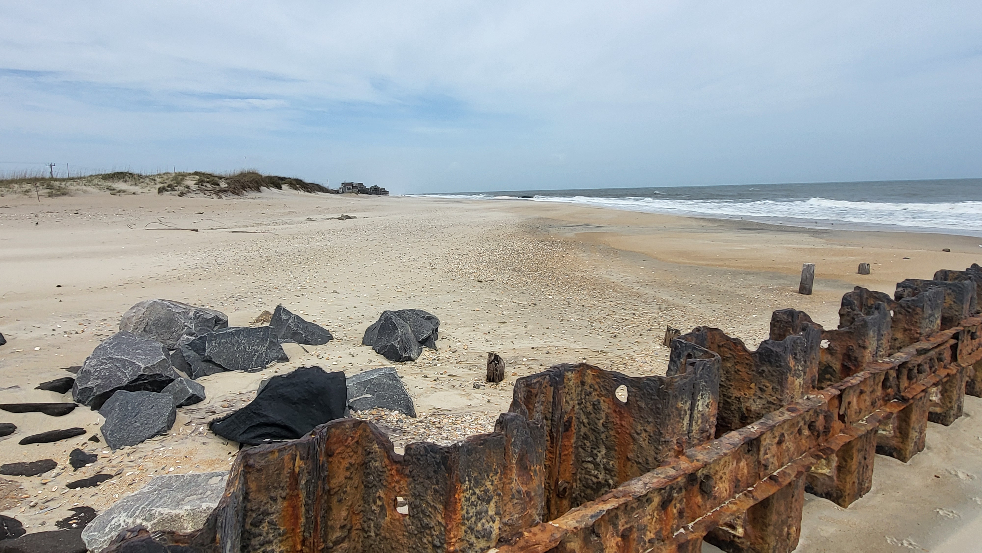
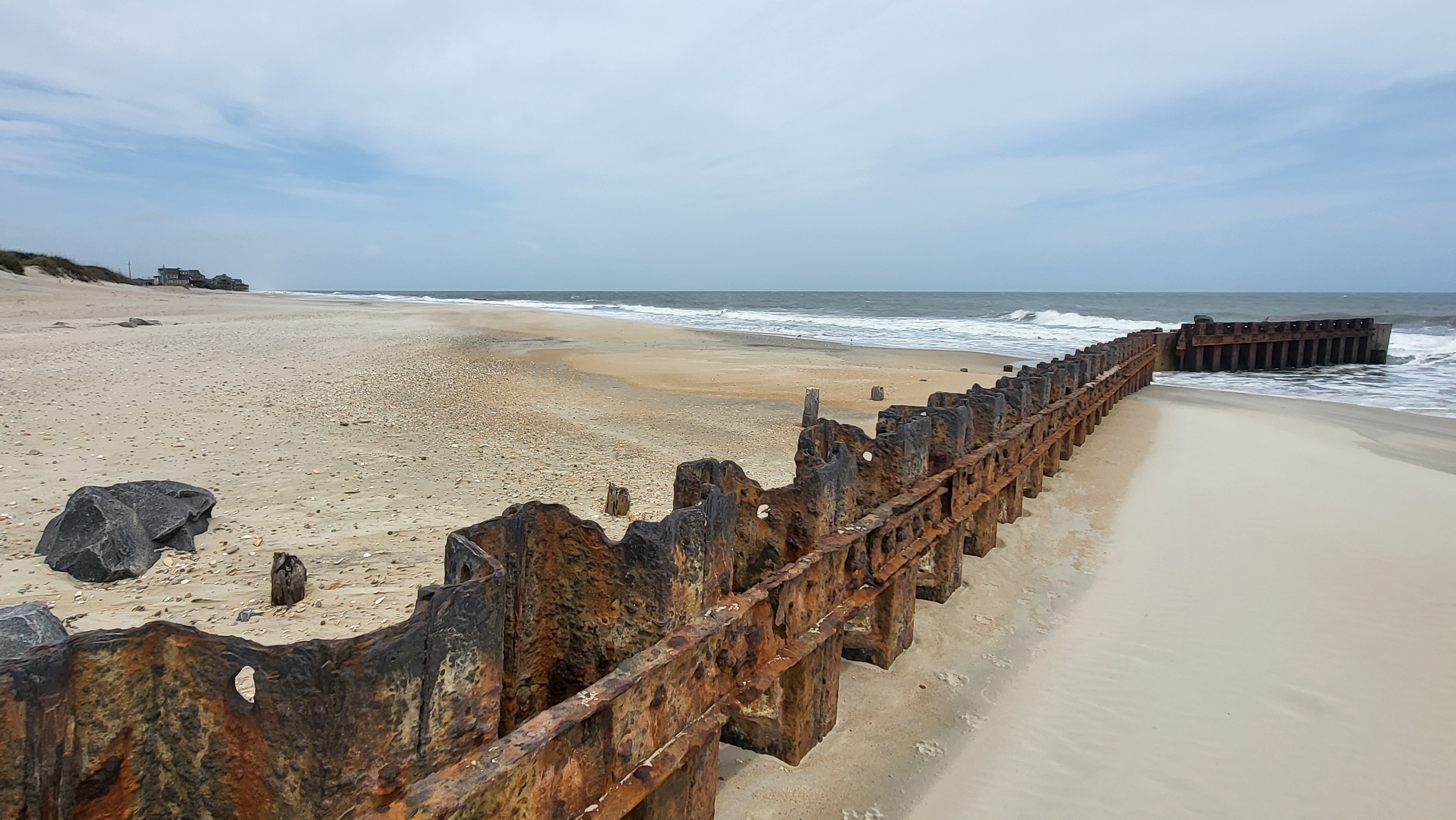
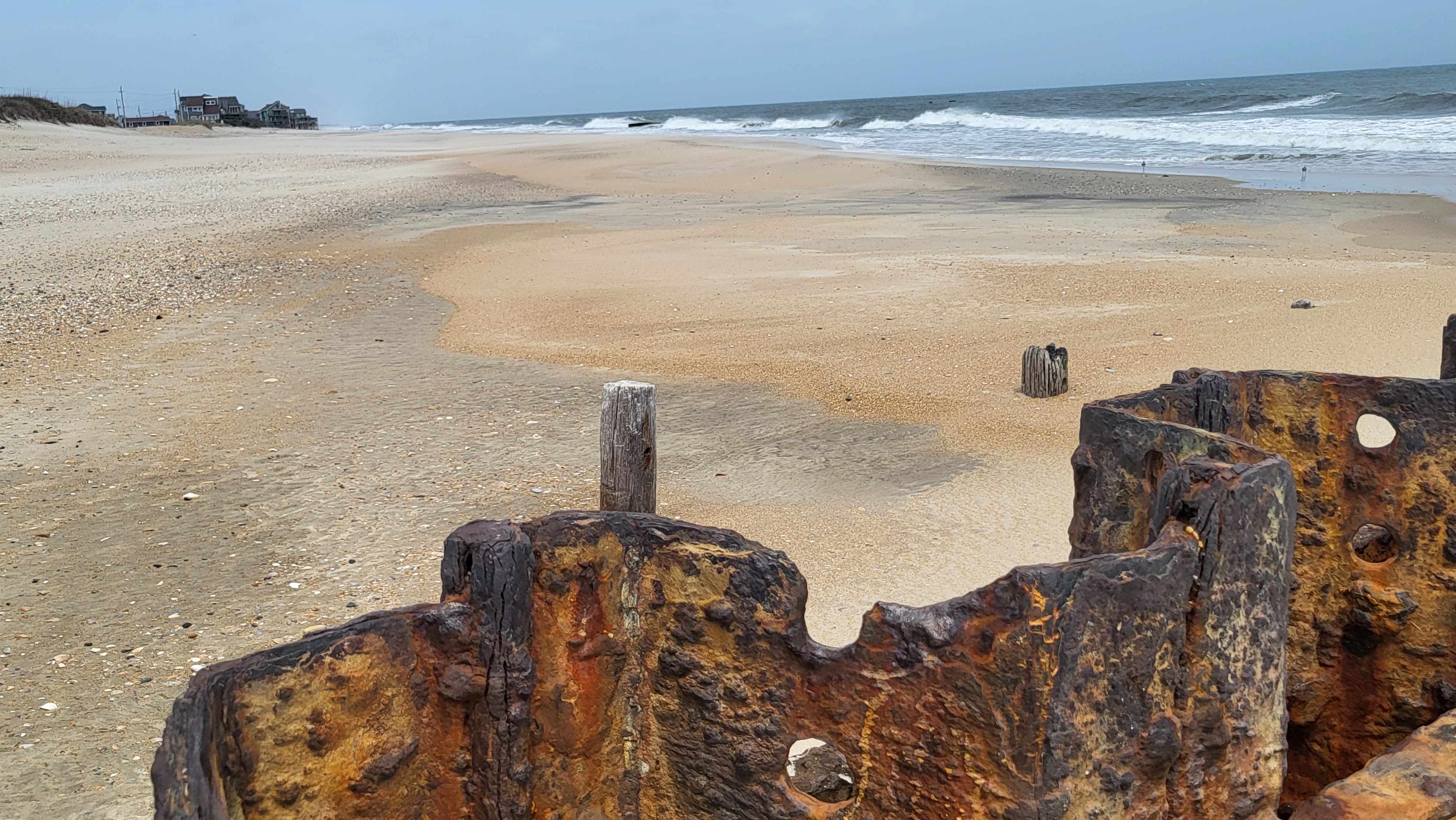
Although Hurricane Joaquin looked a lot less threatening to the North Carolina coast as of late Thursday afternoon, Outer Banks officials remain concerned nonetheless about potentially dangerous soundside flooding, torrential rainfall, and punishing ocean surf as the storm moves north off the coast over the weekend.
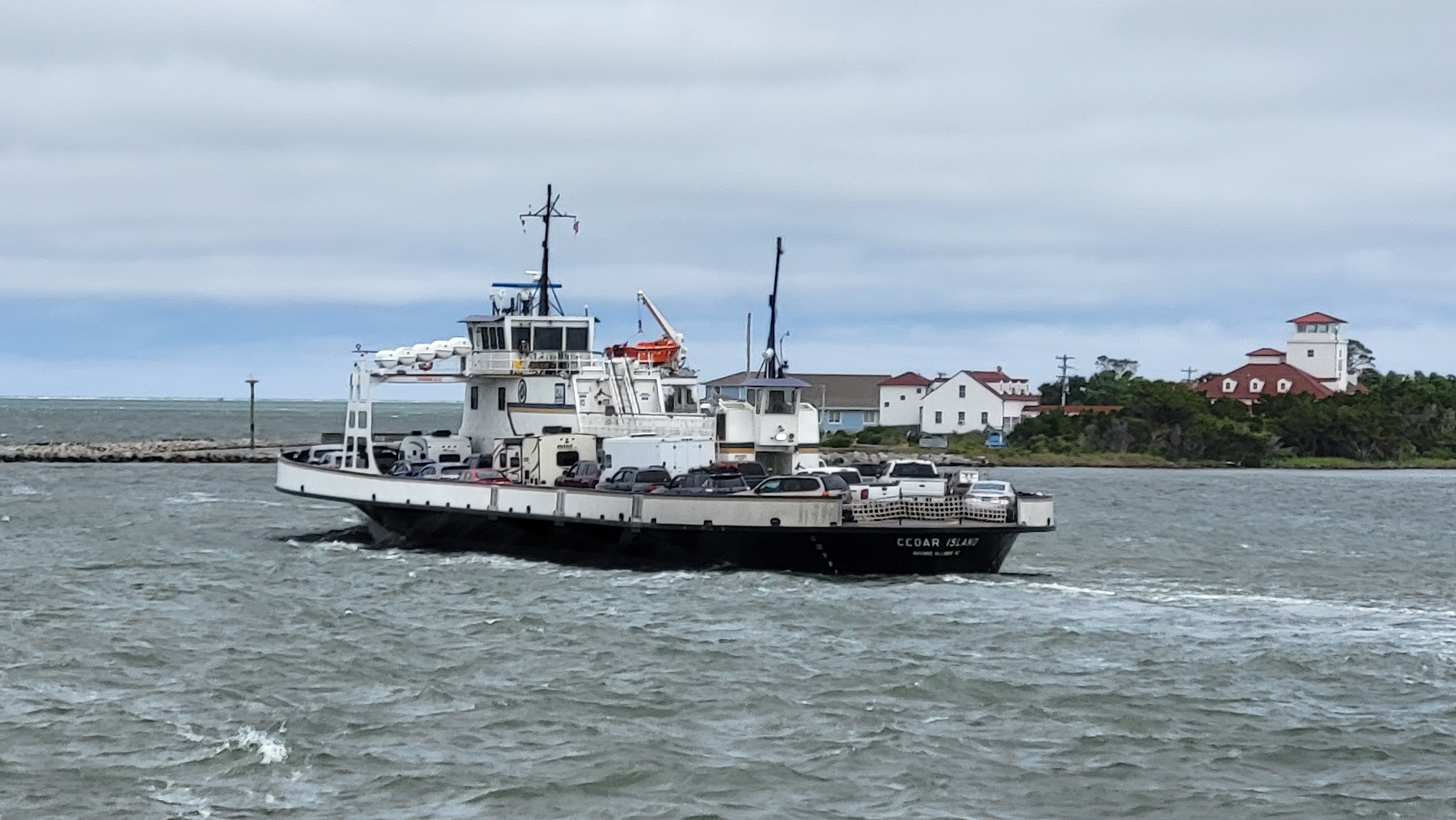
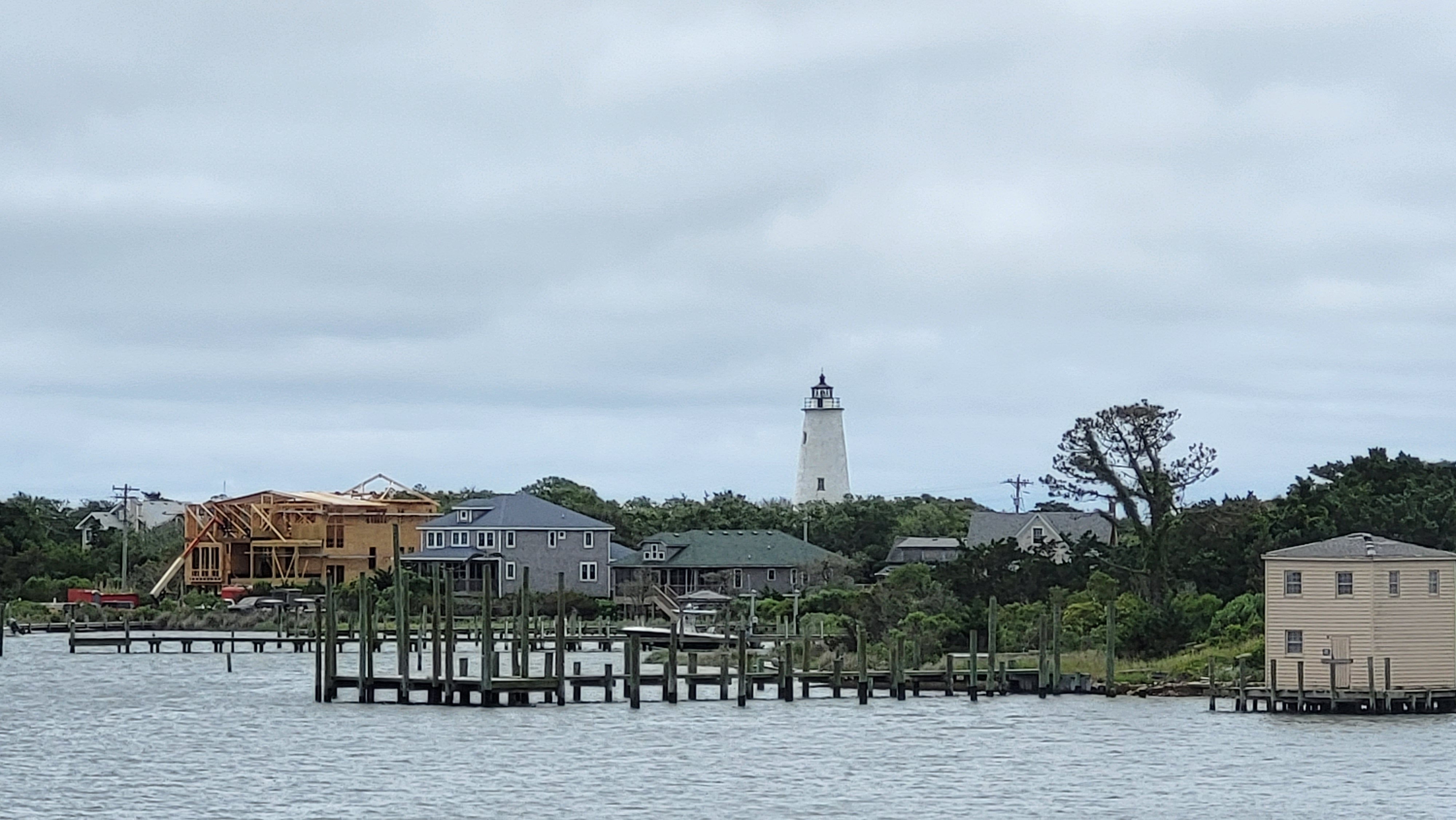
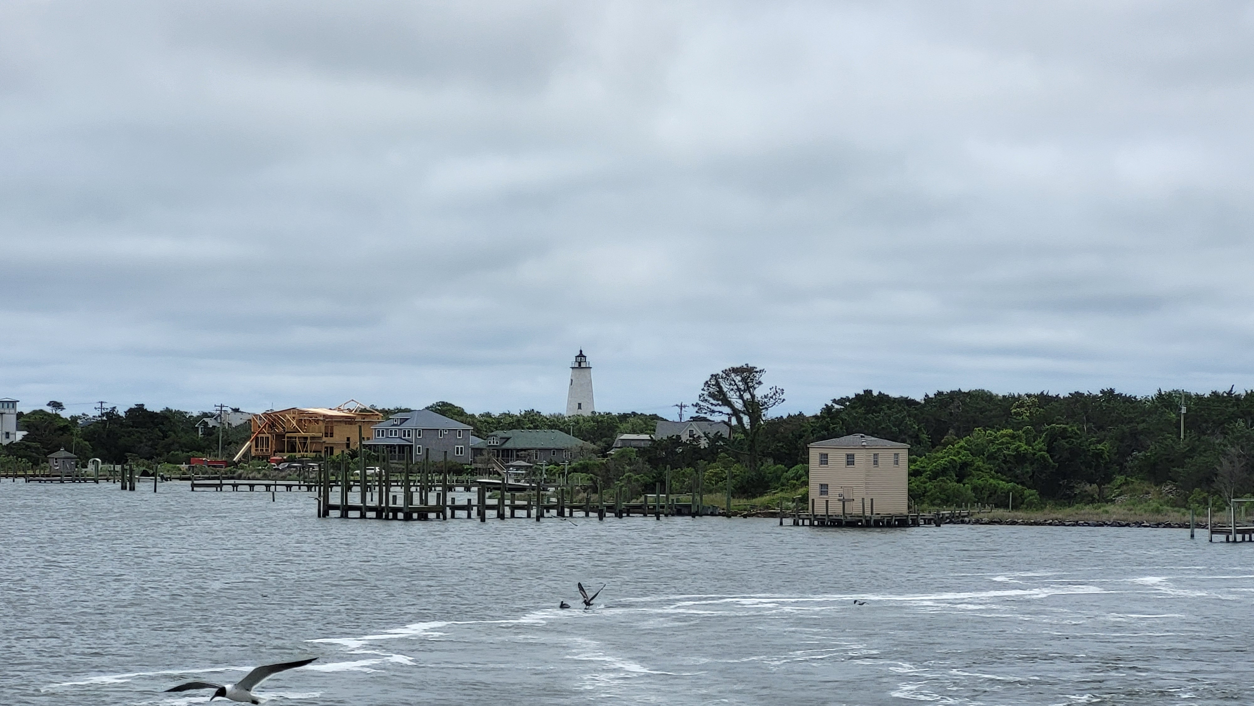
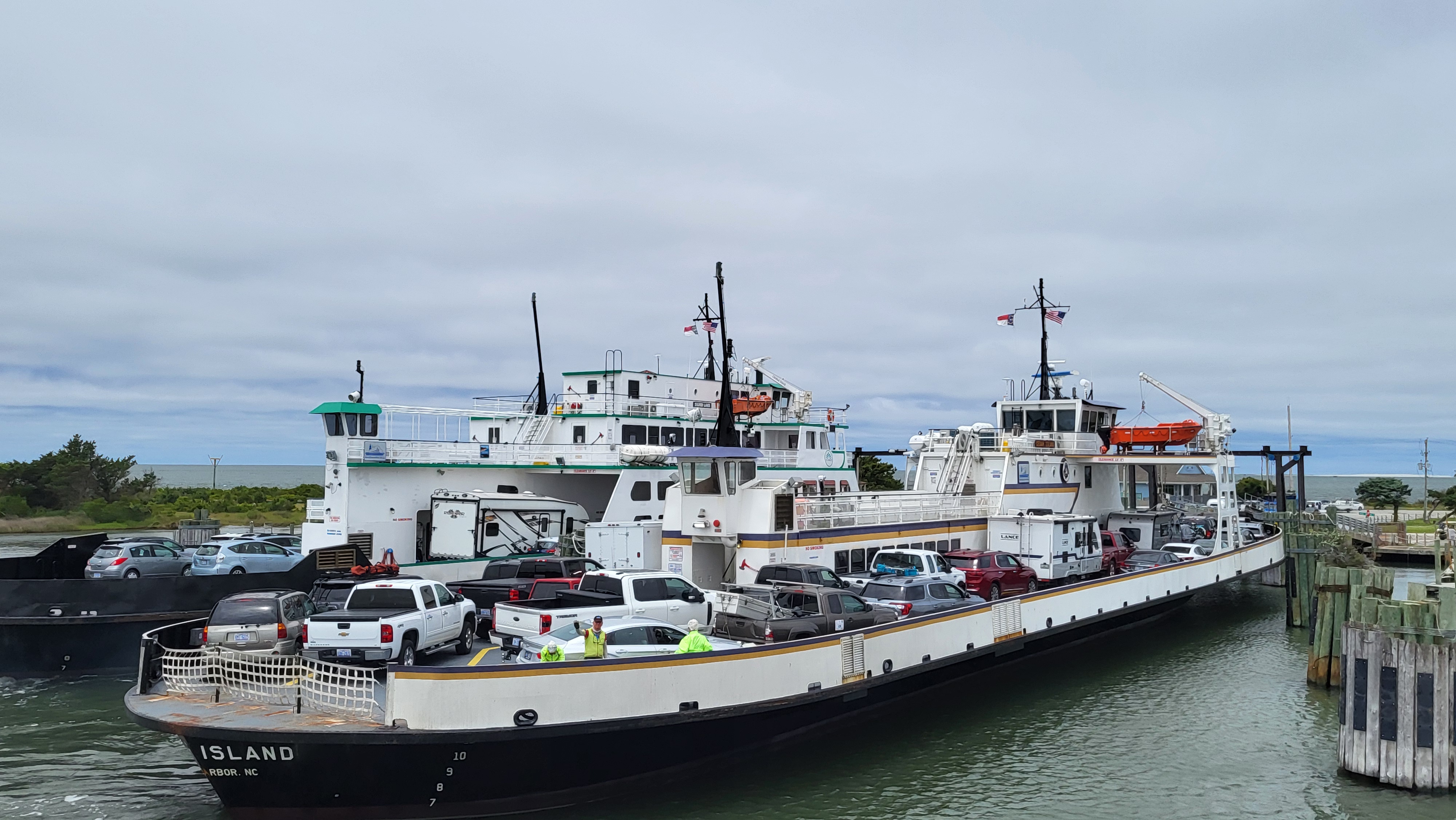
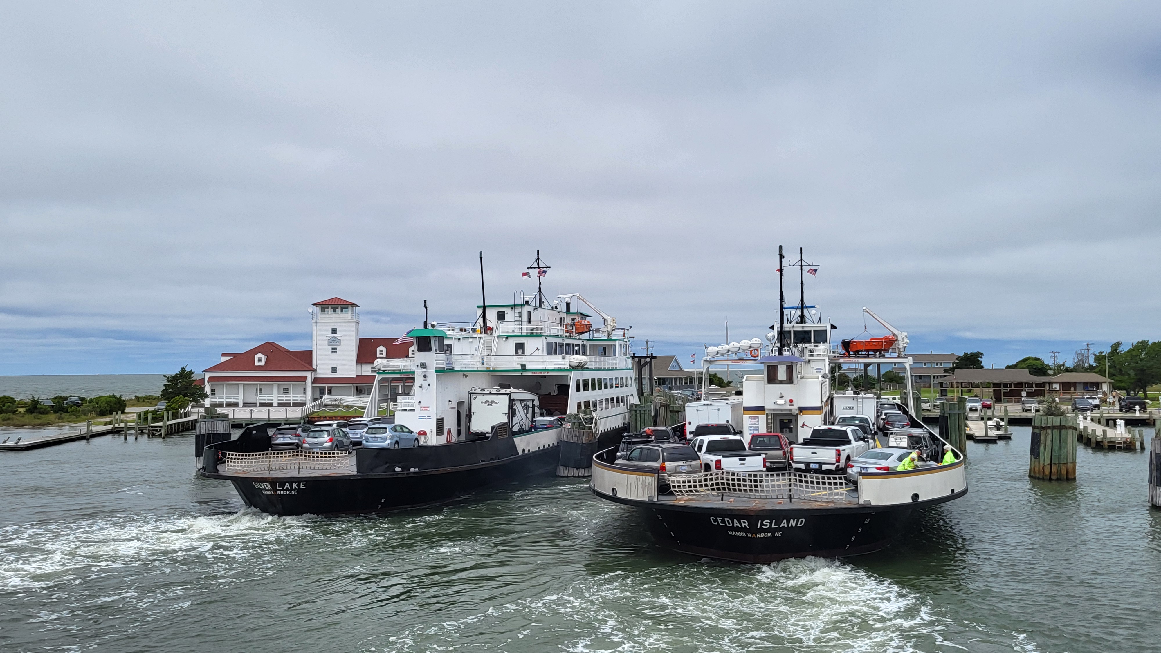
An evacuation order was issued for Ocracoke Island at 3 p.m., and ferries are expected to be relocated to safe harbor until Joaquin moves past the Outer Banks late in the weekend or early next week.
As of the 5 p.m. update from the National Hurricane Center, Joaquin was a powerful Category 4 hurricane, with 130 mph winds that were expected to increase to about 140 mph as it passes the Bahamas. The barometric pressure was down to 936 mb, and the storm was located 15 miles northwest of Crooked Island in the Bahamas, moving southwest at 6 mph.
But the hurricane’s track was showing indications of a move toward the right — more out to sea -– as it moves north along the East Coast. If the track continues into the night, that is good news for the Outer Banks.
“We’ve become more optimistic now about the Carolinas and the mid-Atlantic,” Rick Knabb, director of the National Hurricane Center, said in a report on The Weather Channel.
Knabb said that although the “cone” had changed from earlier Thursday, forecasters wanted to hold off before saying that the storm was going to stay offshore.
But no matter its track, the hurricane center warns that Joaquin remains dangerous and is likely to cause significant coastal flooding, powerful winds, catastrophic rainfall, and storm surge. A flood watch has already been issued for the coastal areas.
“Even if Joaquin moves out to sea, strong onshore winds associated with a frontal system will create minor to moderate coastal flooding along the coasts of the mid-Atlantic and northeastern states through the weekend,” the Hurricane Center said. “In addition, very heavy rains, not associated with Joaquin, are expected to produce flooding over portions of the Atlantic coastal states.”
Casey Dail, a Weather Service forecaster in Morehead City, said Thursday that the degree of soundside flooding on the Outer Banks will depend on the storm track, but it is expected to range from moderate to severe.
“Probably by this time tomorrow,” she said at about 4:30 p.m., “we’ll be able to have a lot more confidence in the track.”
An upper level low moving along the Gulf Coast will continue to exert influence on the North Carolina coast for several more days, Dail said, and a cold front that is sitting off the East Coast will also affect coastal conditions through the weekend – although she said that storm is not as much of a factor now.
Also on Thursday, Gov. Pat McCrory declared a state of emergency for all 100 counties in the state. The state is preparing for widespread flooding and falling trees, hazards exacerbated by already saturated ground.
“Regardless of the impacts of Hurricane Joaquin,” Public Safety Secretary Frank Perry said in a press release, ”North Carolina has the potential for life-threatening flooding.”
Search and rescue teams, National Guard soldiers, Highway Patrol troopers and state Department of Transportation crews have been mobilized, according to the release.
Dare County officials met Thursday morning to plan for possible impacts, which are likely to include roadside flooding and possible power outages. Another meeting is planned for Friday morning, when more will be known about the storm’s track.
Local officials urged residents to take steps to protect their property and stock up with three days of provisions in the event of storm damage or power failures.
Earlier Thursday, the National Park Service cancelled a public meeting in Buxton to review its beach nourishment plan. Park Service facilities and campgrounds were closed at noon, and beaches will be closed to ORV traffic at 5 p.m. Friday.
Ferry evacuation off Ocracoke Island began at 3 p.m. Tolls were suspended on routes between Swan Quarter and Cedar Island, and reservations on those routes were cancelled. Residents, property owners and vendors will be allowed on Ocracoke-bound ferries on Thursday and Friday only.
NATIONAL PARK SERVICE INFORMATION
The Outer Banks Group of National Parks — Cape Hatteras National Seashore, Fort Raleigh National Historic Site, and Wright Brothers National Memorial — have begun the initial implementation of the Group’s hurricane plan in anticipation of the approach of Hurricane Joaquin.
The Park Service began closing facilities at noon today:
All NPS campgrounds — Ocracoke, Frisco, Cape Point and Oregon Inlet — began closing at noon today and will remain closed until further notice. The Ocracoke Recreation.gov campground reservation system has been temporarily suspended.
Silver Lake Marina NPS rented docks closed at noon today..
Ocracoke, Hatteras Island and Bodie Island NPS Visitor Centers also closed at noon and will remain closed until further notice. Wright Brothers National Memorial and Fort Raleigh National Historic Site will be closed Friday, Oct. 2. All previously scheduled evening programs are cancelled as of Thursday, Oct. 1 until further notice.
Climbing at the Cape Hatteras Lighthouse closed at noon today and will remain closed until further notice. All park special programs scheduled have been cancelled until further notice.
Climbing at the Bodie Island Lighthouse closed at noon today.
All NPS beaches will be closed to off-road vehicles by 5 p.m. on Friday, Oct. 2, and remain closed until further notice.
The Buxton, Ocracoke, and Bodie Island Off-Road Vehicle Permit offices closed at noon on today.
For more information, listen to NOAA weather radio and local radio and media for updates and advisories.
HATTERAS-OCRACOKE FERRY INFORMATION
The North Carolina Department of Transportation’s Ferry Division began the implemention of its procedures for the evacuation of Ocracoke Island beginning at 3 p.m. today.
Those procedures include:
No tolls on Pamlico Sound routes
Reservations cancelled on Pamlico Sound routes
No priority loading on Ocracoke-Hatteras route
No visitors allowed on ferries headed to Ocracoke
Residents, property owners and vendors allowed on Ocracoke-bound ferries Thursday and Friday only.
The Hatteras-Ocracoke route will be running its regular schedule until evacuation is complete:
Departing Ocracoke: 5 a.m., 6:10, 7:25, 8:30, 9:45, 10:10, 10:25, 10:50, 11:10, 11:55, 12:05 p.m., 12:30, 12:45, 1:10, 1:30, 2:15, 2:25, 2:50, 3:05, 3:30, 3:50, 4:35, 4:45, 5:10, 5:25, 6:10, 6:45, 6:55, 7:30, 7:45, 8:00, 8:30, 9:15, 9:30, 10:30, Midnight.
Departing Hatteras (Residents, Property Owners, and Vendors ONLY): 5 a.m., 6:15, 7:20, 8:35, 9, 9:15, 9:40, 10, 10:45, 10:55, 11:20, 11:35, Noon, 12:20 p.m., 1:05, 1:15, 1:40, 1:55, 2:20, 2:40, 3:25, 3:35, 4, 4:15, 5, 5:30, 5:45, 6:20, 6:35, 6:45, 7:20, 8:05, 8:15, 9:15, 10:45, Midnight.
Pamlico Sound routes will run the following schedule during the evacuation:
Thursday, October 1:
Ocracoke to Swan Quarter: 6 p.m.
Ocracoke to Cedar Island: 4 p.m.
Swan Quarter to Ocracoke (Residents, Property Owners, & Vendors ONLY): 4:30 p.m.
Cedar Island to Ocracoke (Residents, Property Owners & Vendors ONLY): 4 p.m.
Friday, October 2:
Ocracoke to Swan Quarter: 7 a.m, 9:30, 12:45 p.m, 4.
Ocracoke to Cedar Island: 7:30 a.m., 10, 1 p.m., 4.
Swan Quarter to Ocracoke (Residents, Property Owners, & Vendors ONLY): 7 a.m., 10, 1 p.m, 4:30 p.m.
Cedar Island to Ocracoke (Residents, Property Owners, & Vendors ONLY): 7 a.m, 10, 1 p.m, 4.
Saturday, October 3:
Ocracoke to Swan Quarter: 7 a.m., 9:30, 10.
Ocracoke to Cedar Island: 7:30 a.m.
Swan Quarter to Ocracoke (No inbound traffic allowed): 7 a.m.
Cedar Island to Ocracoke (No inbound traffic allowed): 7 a.m, 10.
All schedules are subject to change or cancellation due to tide, wind, and other weather conditions. The Ferry Division strongly encourages Ocracoke residents to evacuate as soon as possible, as conditions may deteriorate faster than forecast.
After evacuation procedures are complete, the Ferry Division will be mooring all of its vessels in safe harbor. Following the storm, re-entry requirements will be established by Hyde and Dare counties and enforced by local and state law enforcement agencies stationed at ferry terminals. The Ferry Division
Those procedures include:
No tolls on Pamlico Sound routes
Reservations cancelled on Pamlico Sound routes
No priority loading on Ocracoke-Hatteras route
No visitors allowed on ferries headed to Ocracoke
Residents, property owners and vendors allowed on Ocracoke-bound ferries Thursday and Friday only.
The Hatteras-Ocracoke route will be running its regular schedule until evacuation is complete:
Departing Ocracoke: 5 a.m., 6:10, 7:25, 8:30, 9:45, 10:10, 10:25, 10:50, 11:10, 11:55, 12:05 p.m., 12:30, 12:45, 1:10, 1:30, 2:15, 2:25, 2:50, 3:05, 3:30, 3:50, 4:35, 4:45, 5:10, 5:25, 6:10, 6:45, 6:55, 7:30, 7:45, 8:00, 8:30, 9:15, 9:30, 10:30, Midnight.
Departing Hatteras (Residents, Property Owners, and Vendors ONLY): 5 a.m., 6:15, 7:20, 8:35, 9, 9:15, 9:40, 10, 10:45, 10:55, 11:20, 11:35, Noon, 12:20 p.m., 1:05, 1:15, 1:40, 1:55, 2:20, 2:40, 3:25, 3:35, 4, 4:15, 5, 5:30, 5:45, 6:20, 6:35, 6:45, 7:20, 8:05, 8:15, 9:15, 10:45, Midnight.
Pamlico Sound routes will run the following schedule during the evacuation:
Thursday, October 1:
Ocracoke to Swan Quarter: 6 p.m.
Ocracoke to Cedar Island: 4 p.m.
Swan Quarter to Ocracoke (Residents, Property Owners, & Vendors ONLY): 4:30 p.m.
Cedar Island to Ocracoke (Residents, Property Owners & Vendors ONLY): 4 p.m.
Friday, October 2:
Ocracoke to Swan Quarter: 7 a.m, 9:30, 12:45 p.m, 4.
Ocracoke to Cedar Island: 7:30 a.m., 10, 1 p.m., 4.
Swan Quarter to Ocracoke (Residents, Property Owners, & Vendors ONLY): 7 a.m., 10, 1 p.m, 4:30 p.m.
Cedar Island to Ocracoke (Residents, Property Owners, & Vendors ONLY): 7 a.m, 10, 1 p.m, 4.
Saturday, October 3:
Ocracoke to Swan Quarter: 7 a.m., 9:30, 10.
Ocracoke to Cedar Island: 7:30 a.m.
Swan Quarter to Ocracoke (No inbound traffic allowed): 7 a.m.
Cedar Island to Ocracoke (No inbound traffic allowed): 7 a.m, 10.
All schedules are subject to change or cancellation due to tide, wind, and other weather conditions. The Ferry Division strongly encourages Ocracoke residents to evacuate as soon as possible, as conditions may deteriorate faster than forecast.
After evacuation procedures are complete, the Ferry Division will be mooring all of its vessels in safe harbor. Following the storm, re-entry requirements will be established by Hyde and Dare counties and enforced by local and state law enforcement agencies stationed at ferry terminals. The Ferry Division is also prepared to establish its emergency route between Stumpy Point and Rodanthe in the event of a Highway 12 breach on Hatteras Island.
WEATHER AND TRAVEL INFORMATION
For the latest weather update, advisories, watches, and warning, go the website of The Weather Service in Newport, N.C., at www. www.weather.gov/mhx.
The North Carolina Department of Transportation will provide real-time information about weather and travel conditions through its Twitter feed, @NCDOT. Regional Twitter feeds are available @NCDOT_Ncoast and @NCDOT_NC12. As the storm approaches, the department will send out tweets about road closures, flooding and evacuation routes. Updates regarding N.C. 12 can also be found on the NCDOT N.C. 12 Facebook page.


