Interactive Dare County Recreation Map is highlighted in new video
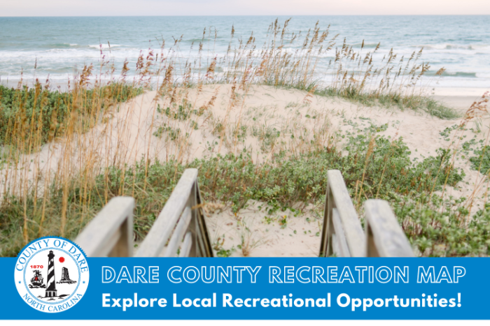
Dare County has released a new video highlighting the Dare County Recreation Map, a unique interactive resource that allows users to locate a variety of different attractions and amenities throughout Dare County—including area beach accesses, boat launches, dog parks, picnic areas, fishing piers, ball fields, walking trails and so much more.
“We created the Recreation Map that’s part of the GIS system as a way to inform residents and visitors alike what there is to do in Dare County and ways to have fun,” said Dare County GIS analyst Kristen Stilson. “It’s a way to find fun no matter what your interests are. If it’s a rainy day, you can find things like museums to go see, or if it’s a sunny day and you want to get outdoors, you can find walking trails or ways to go crabbing on a dock.”
Click here to access Dare County’s Recreation Map, and to view the video on Dare County’s YouTube channel, click here.
To view an assortment of additional maps that have been created by Dare County GIS—such as the Dare County Community Map, Parcel Data Map, Duck Blinds Map, OBX Trash Map, Shipwreck Map, Trivia Map, OBX Days Gone By Map and OBX Unscripted Map—please visit DareNC.gov/GIS.


