Tropical Storm Watch Upgraded to Warning in 11 a.m. Update from National Hurricane Center
A Tropical Storm Warning has been issued for the North Carolina coast from Surf City to Duck including the Albemarle and Pamlico Sounds.
A Tropical Storm Warning means that tropical storm conditions are expected somewhere within the warning area – in this case within the next 24 hours.
Hazards associated with the storm include high winds, heavy rain with flooding of roadways and low lying areas, and dangerous surf conditions. Soundside flooding of 1 to 2 feet is also anticipated across all areas of Dare County as the storm pulls away late Tuesday.
Dare County Emergency Management is reminding residents and visitors that now is the time to make necessary preparations. Go ahead and secure outdoor furniture and other loose, lightweight objects before the onset of strong winds and heavy rain.
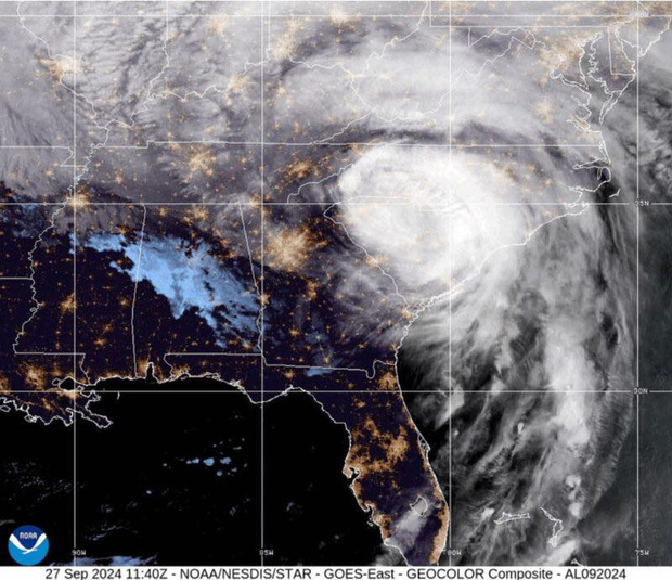
At 11 a.m. the area of minimum pressure associated with the disturbance was estimated to be off the coast of Georgia. The system is moving north-northeast at roughly 9 mph, and this motion with a gradual increase in forward speed is expected during the next couple of days.
On the forecast track, the system will move over or near the coast of South Carolina today and move along the Outer Banks on Tuesday.
The disturbance will likely become a tropical depression or a tropical storm later today or Tuesday. An Air Force plane will check the disturbance later today.
Tropical storm conditions are expected on Hatteras and Ocracoke Island tonight and Tuesday throughout the day. The system is expected to produce total rain accumulations of 3 to 6 inches along the northeastern South Carolina, North Carolina, and southeast Virginia coasts, with possible isolated maximum amounts of 9 inches.
Island residents and visitors should prepare for potential high tropical storm winds (defined as wind speeds between 39 mph and 73 mph), heavy rain, coastal flooding, rough surf, and high waves.
Coastal flooding risk will be greatest for soundside locations on Hatteras and Ocracoke Islands Tuesday into Tuesday night, and 1-2’ inundation of water above ground is possible in areas adjacent to the Albemarle and Pamlico Sounds.
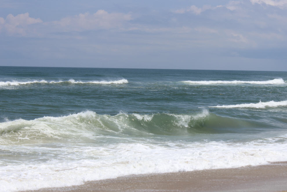
Rough surf could result in minor erosion and overwash along the oceanside as well, with seas up to 8’-12’ across Atlantic coastal waters.
Visit www.weather.gov/mhx for weather forecast information covering Eastern NC, and visit the National Hurricane Center at www.nhc.noaa.gov for information on the tropics.
The Island Free Press will continue to monitor this system and will post updates as soon as they are available.


