‘I think we are going to see increases here’
New FEMA flood insurance system means bigger local premiums
Effective October 1, the National Flood Insurance Program (NFIP) has implemented a new rating system called Risk Rating 2.0 to determine how much policyholders must pay in premiums. And while the Federal Emergency Management Agency (FEMA) hails the new rating system as a more equitable one for policyholders, some local experts are sounding the alarm about premium increases here.
Of the 140,000 NFIP policyholders in the entire state of North Carolina, FEMA estimates that 25.5 percent will see a decrease in their monthly premiums, 65.6 percent are expected to see a monthly increase of $10 or less, 6.1 percent an increase between $10 and $20 and 2.8 percent could shoulder an increase of $20 or more. FEMA does not break out those state-wide projections at the regional or county level.
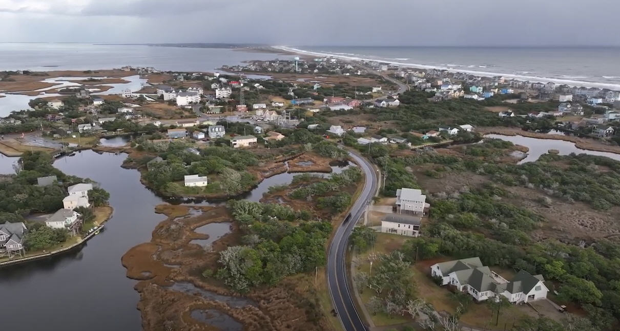
But given flooding and weather hazards, Outer Banks homeowners are looking at larger premiums, with the question being how much larger.
“I think we are going to see increases here,” said Outer Banks Association of Realtors Chief Executive Officer Willo Kelly, who says she’s already hearing anecdotal evidence of that from local insurance agents.
For those local homeowners getting new policies after the Oct. 1 launch of the new rating system, Kelly said, “We are hearing right now from [insurance] agents that some did not see this coming. With regard to the impact on writing new policies effective after October 1, they are seeing a large increase in what would have been the premium amount prior to October 1.”
But she added, “We’re not going to feel the full effects of this until April of 2022, when the Risk Rating 2.0 is applied to [policy] renewals.”
For those April renewals, Kelly said policyholders could see annual increases of up to 18 percent a year if they are a primary resident policyholder and a 25 percent increase for second homeowners until they reach what FEMA says is your ‘actuarial’ risk range.”
According to FEMA, when calculating premiums, rather than solely relying on what flood zone a property falls in, the new rating system uses a new technological model to determine an individual property’s unique flood risk. Among the calculations are such variables as flood frequency and types of floods, as well as the distance a property is from a water source and property characteristics, such as elevation and the cost to rebuild.
Kelly pointed out that with the recent update and certification of Dare County flood maps last year — maps that were widely criticized by local officials — 75 percent of properties in Dare County were either taken out of a flood zone entirely or went from a higher risk zone to a lower risk zone within the Special Flood Hazard area. That means they either enjoyed preferred risk policies – which offered a flat rate – or they were moved to a lower risk zone and saw a decrease in their premium.
That will change now, she said, with premiums being based on the value of the structure and the distance to a body of water along with other property characteristics.
“We are still set up with a system that, while they are anticipating more policyholders inland, they’re putting the burden of fixing this program and paying the debt that is in this program on current and future coastal policyholders.” Kelly noted.
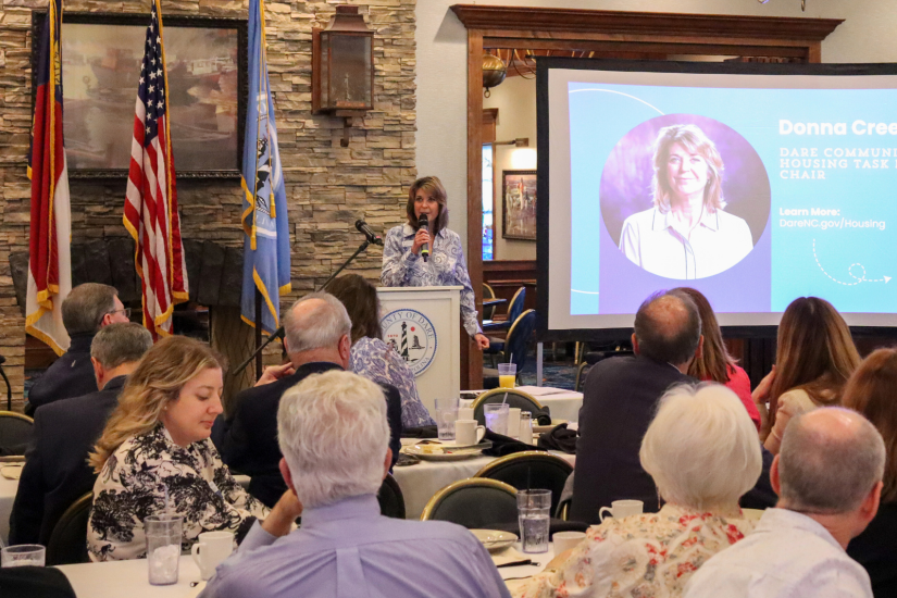
For her part, Dare County Planning Director Donna Creef told the Voice that she was skeptical of the new rating system.
“There’s no doubt that it makes sense to be property specific,” she said. “But it is a drastic change.”
After noting that the information that agents are having to enter into the system to rate structures is based on the same computer models that FEMA used for the most recent flood maps, Creef said, “I’m skeptical, because that’s the same agency that gave us these flood maps that we have for the county that are pretty skewed.”


