Ocean overwash, rough surf expected from low developing off the coast
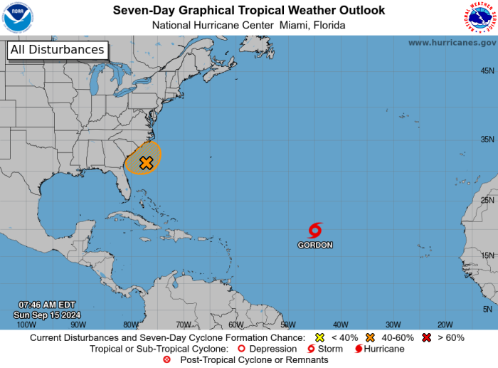
An area of disturbed weather off the southeast United States is expected to bring a variety of impacts to the Outer Banks and northeastern North Carolina over the next several days, and could become the eighth tropical cyclone of 2024.
“Keep an eye on this still developing storm but those in vulnerable areas please take action now to be ready for changing conditions over the next day or so,” said Dare County Emergency Management Director Drew Pearson.
“It should be noted that whether or not this system becomes tropical, it has the potential to develop very quickly, with less lead time than normal,” said forecasters at the National Weather Service office in Newport/Morehead City.
The interaction of high pressure to the north and a stalled frontal boundary to the south brought rain on Friday, along with gusty northeast winds and rough surf.
The combination of a frontal boundary offshore, high pressure to the north, and moisture from former Hurricane Francine to the west combined to bring showers and even a few thunderstorms to the region on Friday.
A new daily record for September 13 was recorded on Friday at Billy Mitchell Field in Frisco of 4.59 inches.
The old record for Cape Hatteras of 4.26 inches was set in 2018 by outer rainbands from Hurricane Florence. A low pressure system is forecast to develop along the frontal boundary, and increase the chances of rain and wind into early next week.
The National Hurricane Center is also giving it a 50/50 chance of developing into a tropical cyclone, which would be named Helene if it were to reach at least tropical storm status.
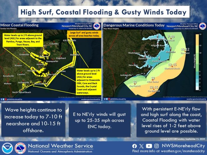
A Coastal Flood Advisory has been issued for the beaches from Duck to Ocracoke starting Sunday afternoon through Monday night, with 1 to 2 feet of ocean side inundation above ground level possible.
A High Surf Advisory will also be in effect beginning Sunday afternoon through Tuesday morning for breaking waves of 6 to 11 feet possible.
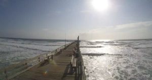
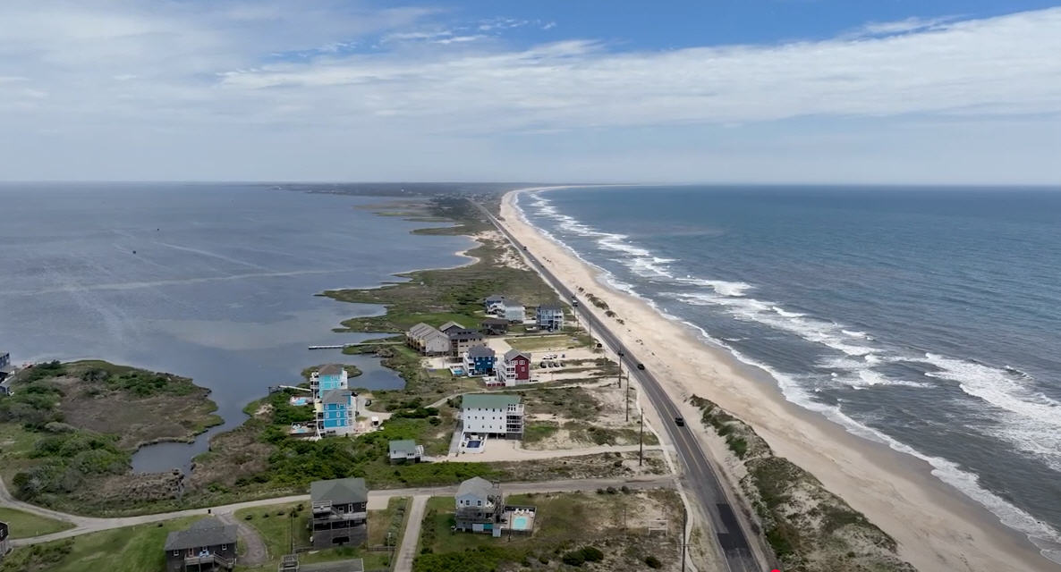
“Vulnerable oceanfront sections will be at risk especially the north end of Rodanthe and Buxton as the seas build with a persistent wind from the east to northeast,” Pearson said. “Vulnerable sections of NC 12 could see overwash, leading to hazardous travel conditions, especially around high tide.”
With a full moon coming up on Wednesday, and the moon being at its closest point to Earth in its orbit, that will lead to elevated water levels due to a King Tide all this coming week.
The flooding threat will be greatest around one to two hours before and after high tide, which is at 6 a.m. and 6:30 p.m. on Sunday, and 7 a.m. and 7 p.m. on Monday.
A high risk of rip currents, with large shorebreak and powerful longshore current is forecast to continue for the next several days, and red flags will be flying.
“No matter what happens, the ocean will become truly unsafe for swimming,” Pearson said.
Boating conditions are becoming increasingly hazardous, and Gale Watches are posted for the sounds and the ocean.
The strong winds and large waves could lead to the suspension of ferry service on the routes to and from Ocracoke.
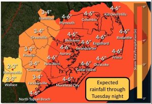
Rainfall amounts of 3 to 6 inches are also possible through Tuesday across eastern North Carolina, which could lead to flooding of low-lying and poor drainage areas.
