Tornado Watch issued for the Outer Banks
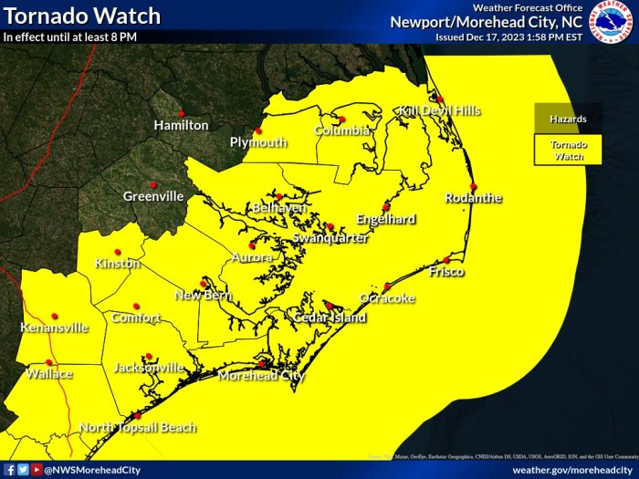
A Tornado Watch has been issued for much of eastern North Carolina, including Hatteras and Ocracoke Islands, until at least 8:00 p.m. on Sunday, per an update from the National Weather Service.
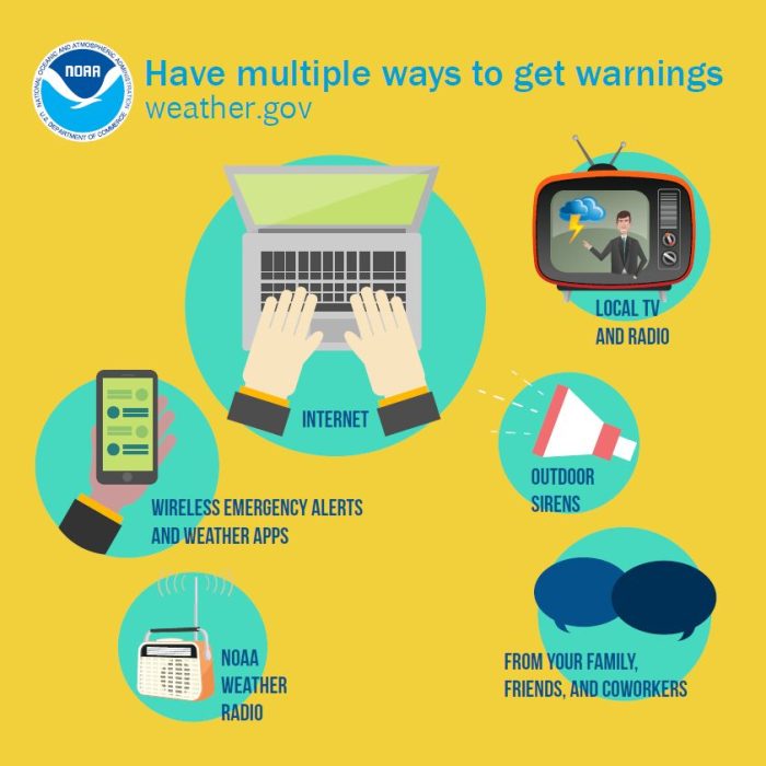
The Tornado Watch may be extended past 8:00 p.m., (as severe thunderstorms are possible through 2:00 a.m. on Monday), and the public is encouraged to have multiple ways to receive warnings.
Southeast winds of 30-40 mph with gusts up to 60 mph are expected to increase and continue through Sunday and early Monday, and heavy rain with a total accumulation of 1.5-2 inches will continue through Sunday night
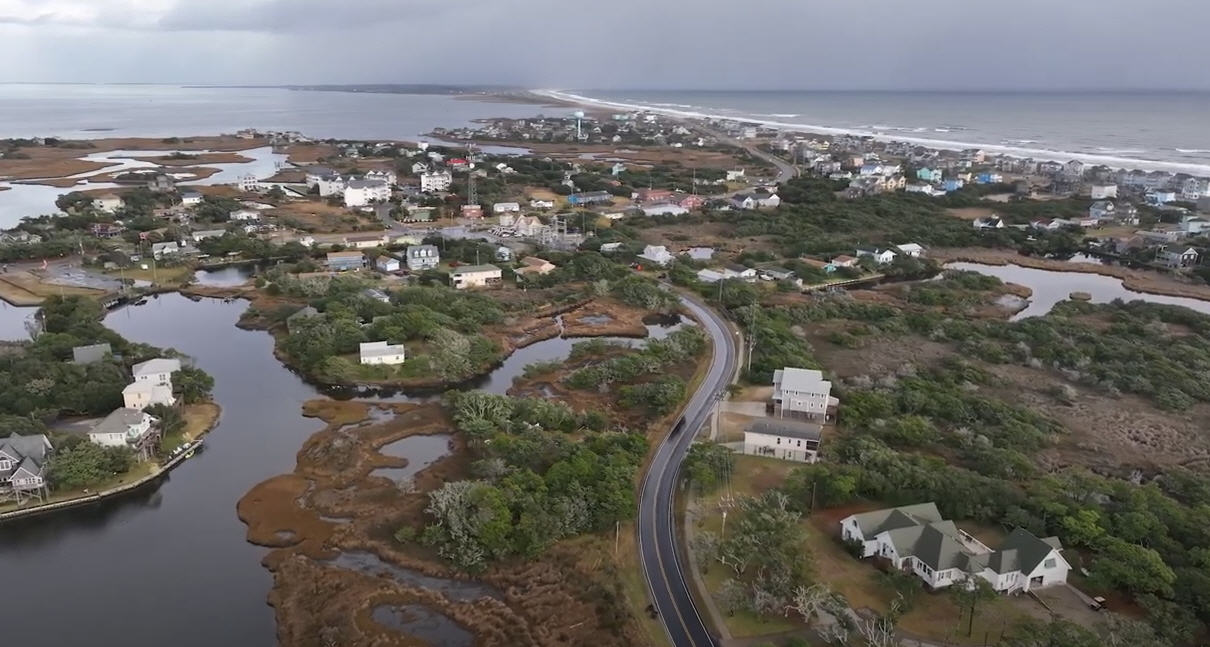
Along the Pamlico Sound, moderate to major soundside flooding of 2-4 feet above ground level is possible from Ocracoke to Frisco, and 3-4 feet of soundside flooding is possible from Buxton to Oregon Inlet. Rapid water level rises may occur, and soundside flooding is most likely early Monday morning.
Up to four feet of ocean overwash is also forecast along the Outer Banks, particularly from late Sunday into early Monday. Per the NWS, significant overwash should be expected from Hatteras to Duck.
Travel on portions of N.C. Highway 12 could be impacted by flood waters as well as blowing sand and sea spray that could make travel unsafe, especially after dark. All Ocracoke Island ferry operations have been suspended as of Sunday afternoon.
For more information on Sunday and Monday’s coastal storm, click here.
Be Prepared:
To receive National Weather Service alerts, create an OBX Alerts user profile at www.OBXAlerts.com and select the National Weather Service watch and warning lists or download the FEMA mobile app and select “Dare, NC” as your primary location.
For updates regarding road conditions, please visit DriveNC.gov and follow North Carolina Department of Transportation and NCDOT NC 12 on Facebook. The Dare County Sheriff’s Office also shares local road condition updates on its Facebook page.
To sign up to receive alerts if water levels in your area begin to rise due to storm surge, visit www.FIMAN.NC.gov and select the flood gauge(s) located in the waterway you’d like to monitor in real-time.
