Coastal Flood Advisory continues on Tuesday; Overwash reported ahead of Tuesday afternoon’s high tide
NOON UPDATE: Ocean overwash was reported ahead of Tuesday’s approximate 2:00 p.m. high tide on northern Ocracoke Island, northern Buxton, and side roads in Rodanthe. N.C. Highway 12 is open and passable, however, travelers are advised to use caution as oceanside flooding may increase before and after high tide.
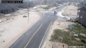
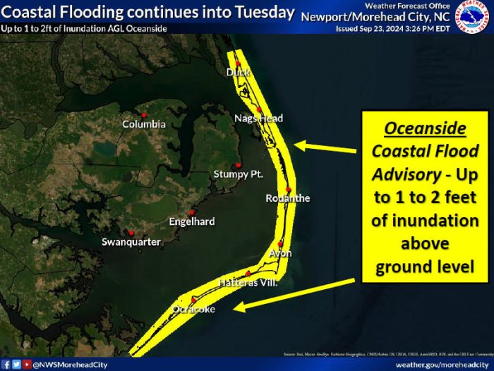
Another day of coastal flooding is possible on Tuesday due to ocean overwash from elevated east-northeasterly swell, according to an update from the National Weather Service (NWS) Newport/Morehead City office.
Minor to locally moderate coastal flooding is expected for oceanside areas on Hatteras and Ocracoke Islands, potentially impacting N.C. Highway 12.
Localized ocean overwash should be expected at known vulnerable spots including the north end of Ocracoke Island, the north end of Buxton, the side streets of Rodanthe, and the Pea Island Visitor Center.
Flooding will be enhanced in areas with weakened dune structures and is most likely around Tuesday’s high tide at 2:00 p.m.
1-2 feet of above-ground flooding is possible, and a Coastal Flood Advisory remains in effect for the Outer Banks until Tuesday at 5:00 p.m.
The risk of coastal flooding is expected to diminish by Wednesday, per the NWS.
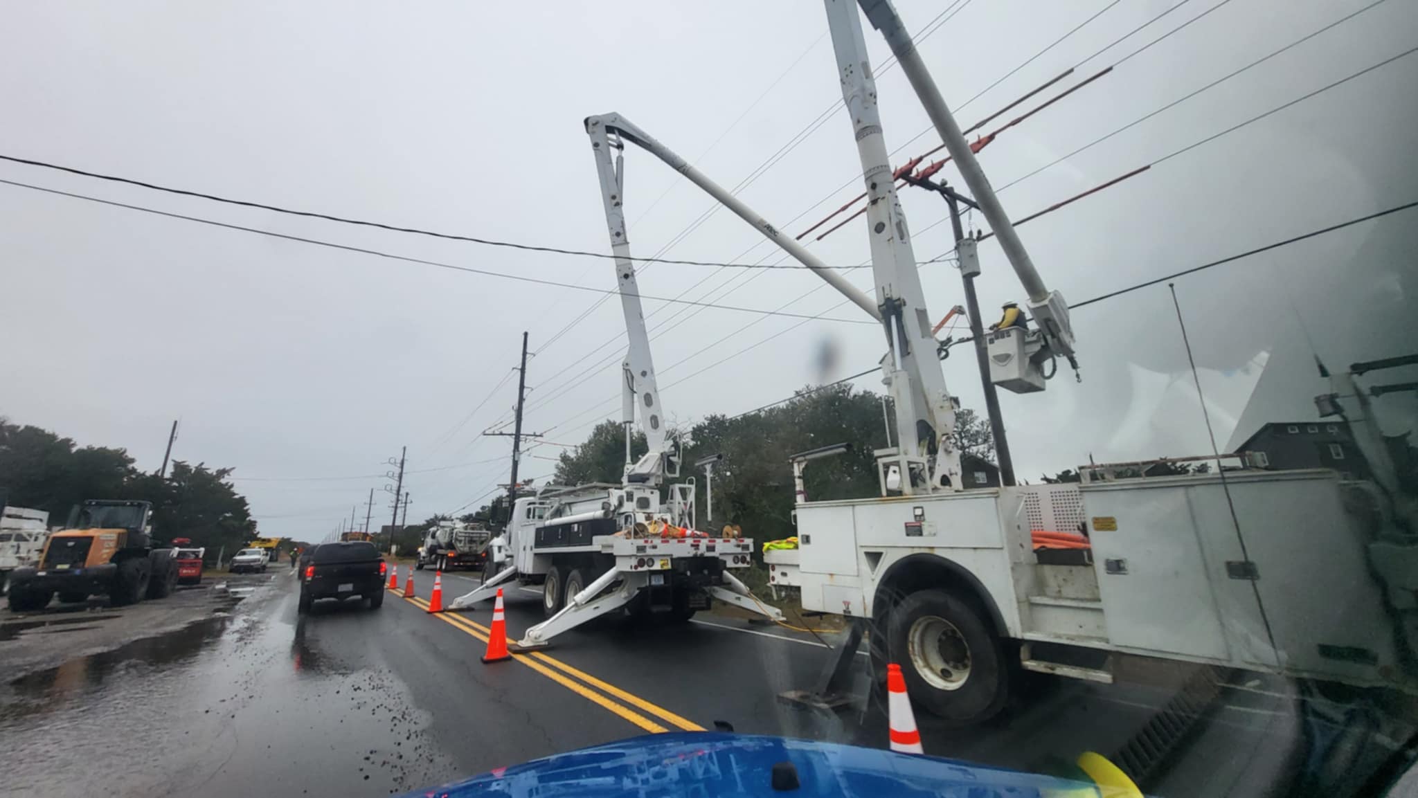
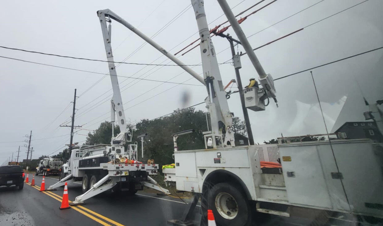
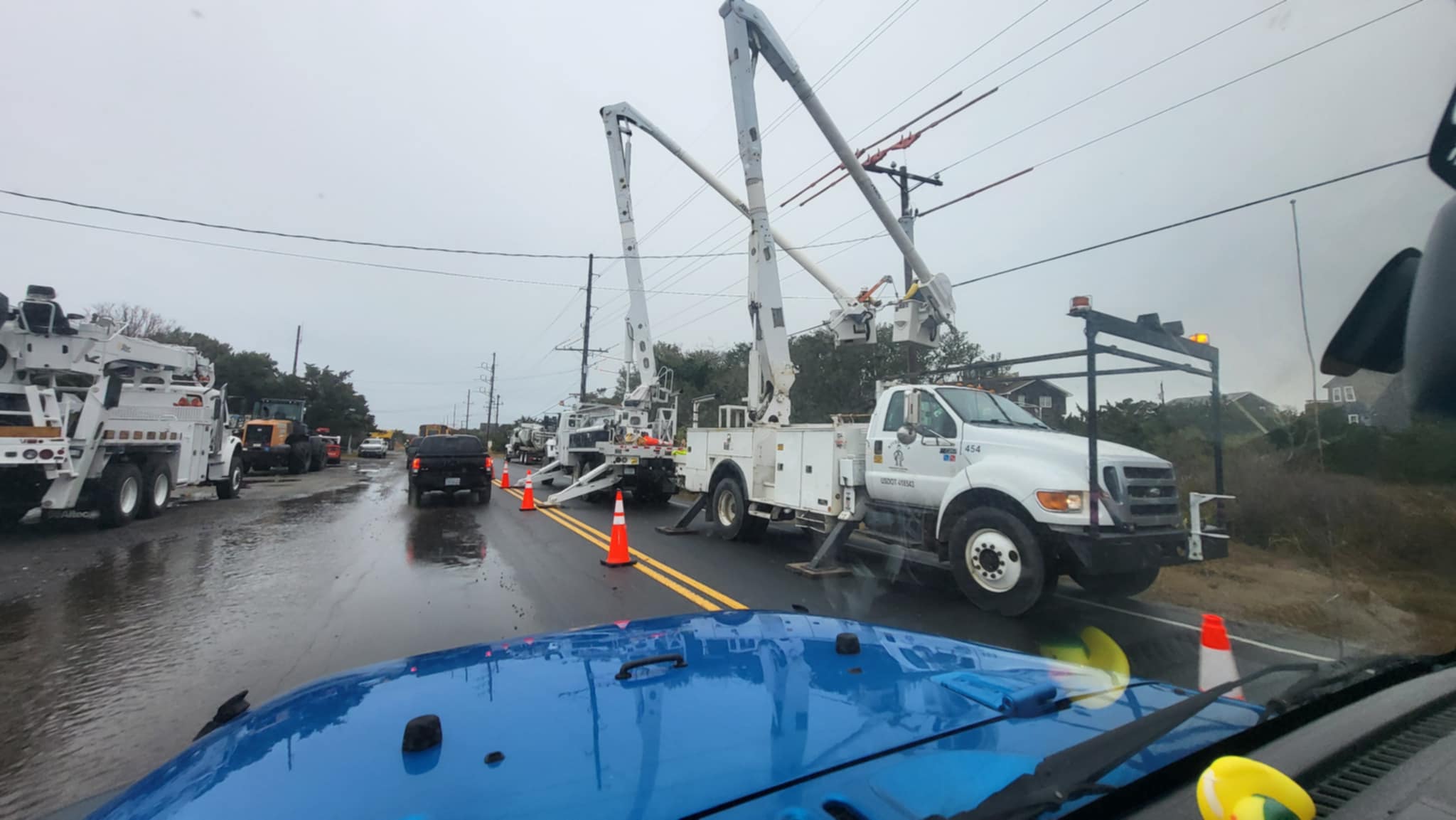
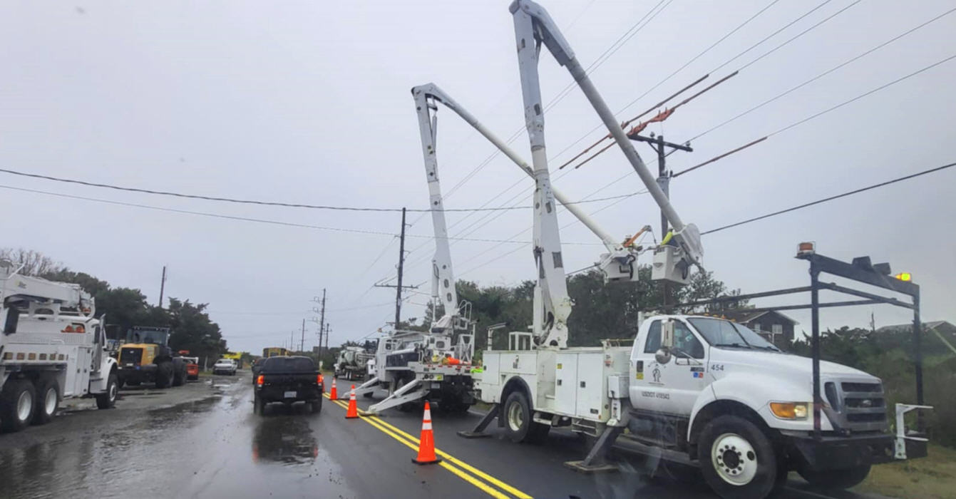
Minor to moderate ocean overwash was reported on Monday afternoon on the northern end of Ocracoke Island, in northern Buxton, in Rodanthe, and on Pea Island, however, N.C. Highway 12 remained open throughout the day. North Carolina Department of Transportation (NCDOT) personnel will continue to be on the road on Tuesday to clear water and sand as needed, and travelers should slow down and use caution during the ongoing work.
A list of local Outer Banks resources for additional information is below.
- For information on the local forecast, visit weather.gov/mhx for general weather information, or the National Weather Service office in Newport/Morehead City’s Facebook page at https://www.facebook.com/NWSMoreheadCity/.
- For local water level forecasts from the NWS, visit https://water.noaa.gov/wfo/mhx
- For updates regarding road conditions, visit DriveNC.gov and follow the North Carolina Department of Transportation and NCDOT NC 12 on Facebook. The Dare County Sheriff’s Office also shares local road condition updates on its Facebook page.
- To get notified of ferry delays or cancellations, sign up for text and/or email alerts via the N.C. Ferry System’s FINS system: www.ncdot.gov/fins.
- For rip current information and other beach hazards, sign up for text alerts from Dare County, ocean rescue agencies, and the National Weather Service by texting “OBXBeachConditions” to 77295.


