Coastal Flood Advisory, High Surf Advisory, Gale Warning in effect starting Thursday evening
A strong frontal system will impact the Outer Banks from Thursday into Friday, bringing the potential for severe thunderstorms, gusty winds, and possible coastal flooding.
A Coastal Flood Advisory has been issued for the Outer Banks from 5:00 p.m. Thursday until 5:00 p.m. Friday, while a High Surf Advisory will be in effect from 8:00 p.m. Thursday until 8:00 p.m. Friday. A Gale Warning has also been issued starting at 6:00 p.m. for all coastal waters.
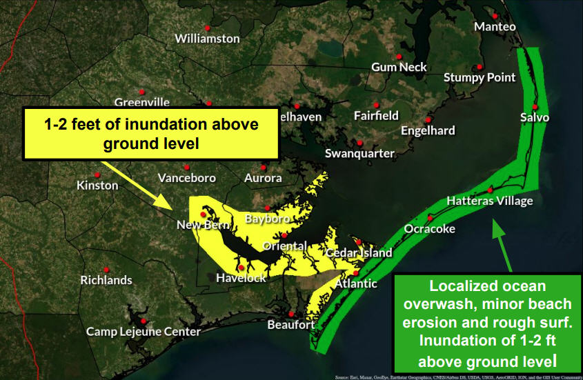
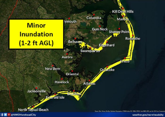
Minor to locally moderate inundation of 1-2 ft. above dry ground is possible along the oceanside and soundside, and flooding is most likely from Thursday evening through Friday.
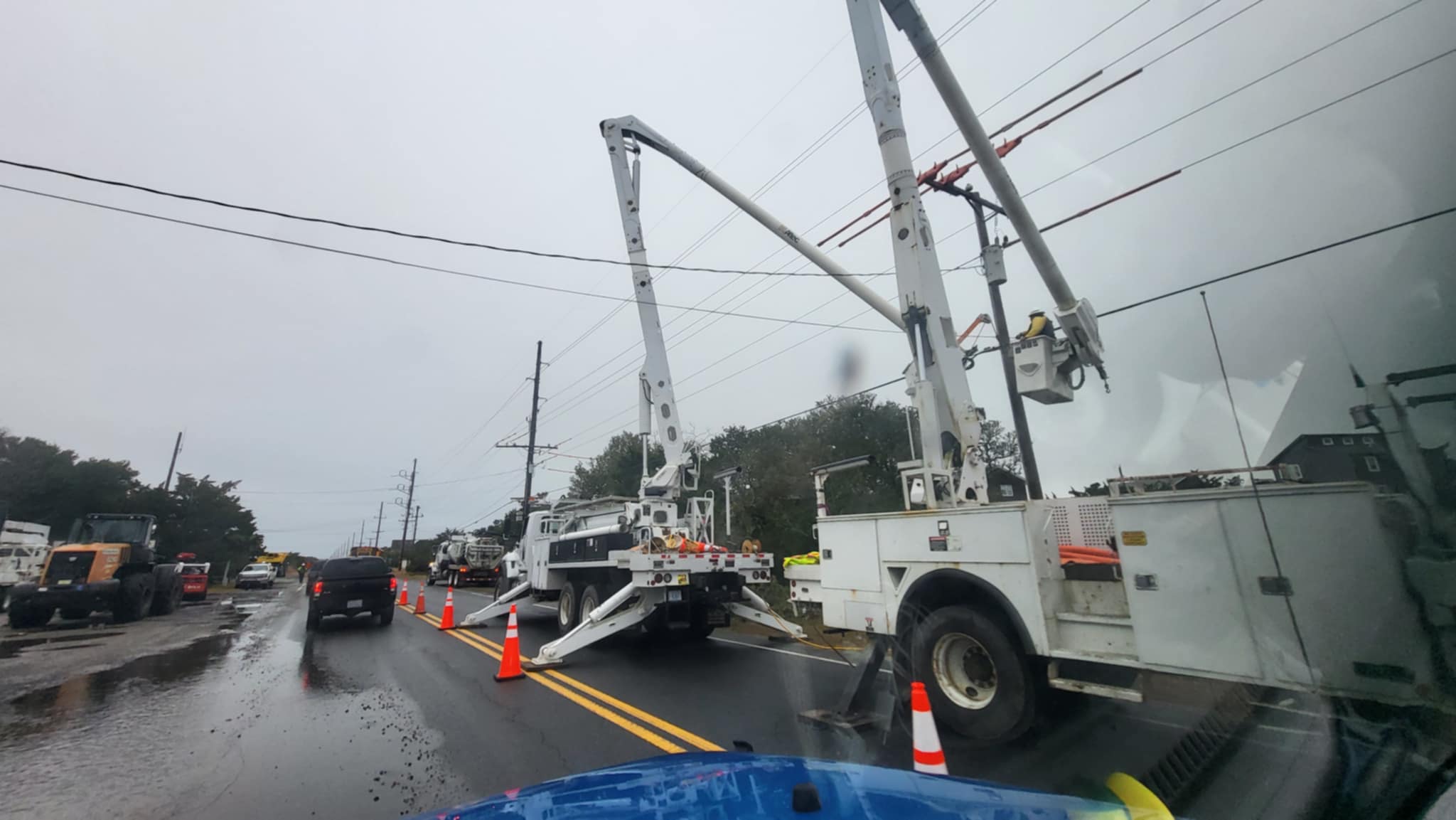
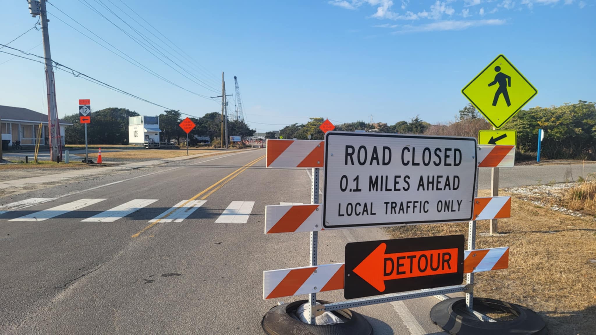
On the oceanside, the threat of flooding is most likely south of Oregon Inlet, including Ocracoke Island, which could impact travel on N.C. Highway 12, as well as Hatteras and Ocracoke ferry services. On the soundside, flooding is most likely from Duck to Avon, including Roanoke Island.
In addition, rough surf, localized beach erosion, and an elevated rip current risk are expected.
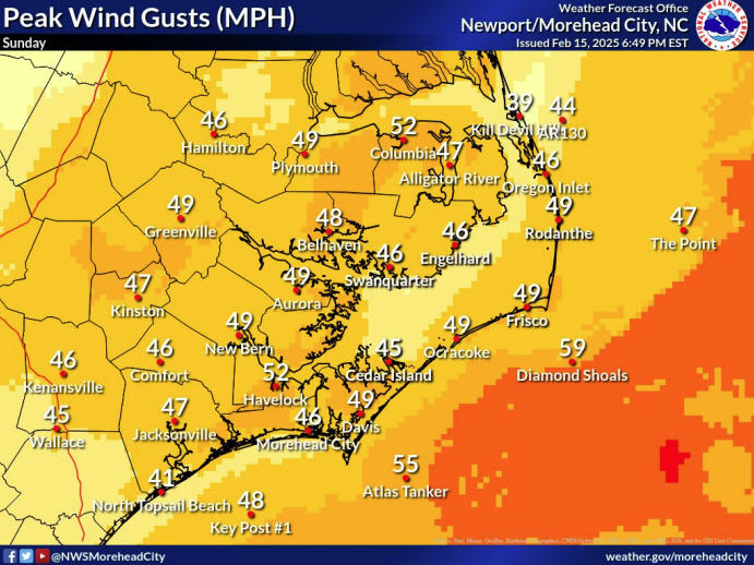
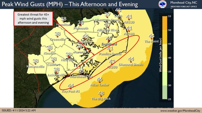
Scattered thunderstorms capable of producing damaging wind gusts and a brief tornado will also be possible Thursday afternoon and evening. Southerly wind gusts of 40-45 mph are also forecast starting Thursday afternoon.
- For more information on the local weather forecast, visit www.weather.gov/mhx for weather information, or the National Weather Service office in Newport/Morehead City’s Facebook page at https://www.facebook.com/NWSMoreheadCity/.
- To get notified of ferry delays or cancellations, sign up for text and/or email alerts via the N.C. Ferry System’s FINS system: www.ncdot.gov/fins. Users will get notified of any schedule changes directly from the terminal, and can unsubscribe at any time.
- For updates regarding road conditions, visit DriveNC.gov and follow the North Carolina Department of Transportation and NCDOT NC 12 on Facebook. The Dare County Sheriff’s Office also shares local road condition updates on its Facebook page.
-
NWS image


