Storm surge threat increases to 4 to 7 feet above ground in Thursday morning update
The Thursday morning briefing from the National Weather Service (NWS) Newport / Morehead City office included an increase in expected storm surge, with 4-6 feet above ground storm surge now forecast.
Water levels will rise very rapidly on the sounds, and particularly for the soundside Outer Banks region, as the storm passes. Storm surge inundation will begin this morning south of Cape Lookout, then expand north and into the sounds/rivers by Thursday afternoon, with the worst conditions for the Outer Banks forecast for Friday. Storm surge estimates are fluid, and the public can keep track of any changes via the National Hurricane Center’s Storm Surge Inundation Map.
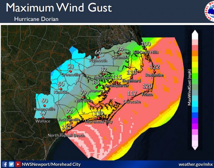
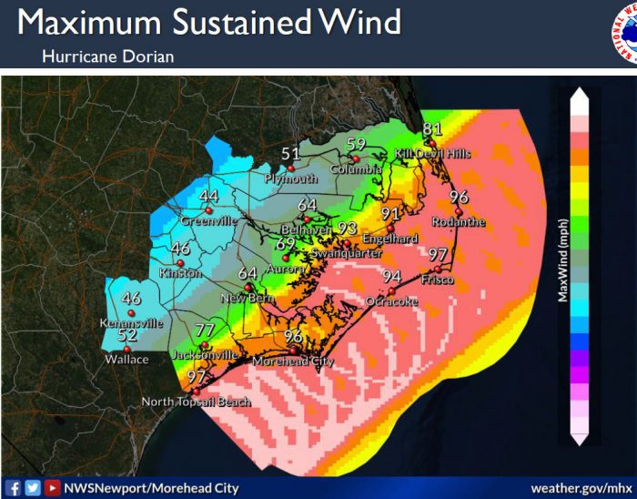
Maximum sustained winds up to 96 mph and wind gusts up to 123 mph are also forecast with the latest update, with tropical-storm-force winds expected to arrive sometime Thursday evening or night.
Tropical-storm-force winds are expected for a period of at least 12 to 18 hours for most of the Eastern N.C. area, and as much as 24 hours along the Outer Banks. Expected arrival of tropical-storm-force winds could arrive as early as Thursday or Thursday evening.
Hurricane Dorian remains a dangerous hurricane and is expected to move across or just offshore of the area Thursday night into Friday night.
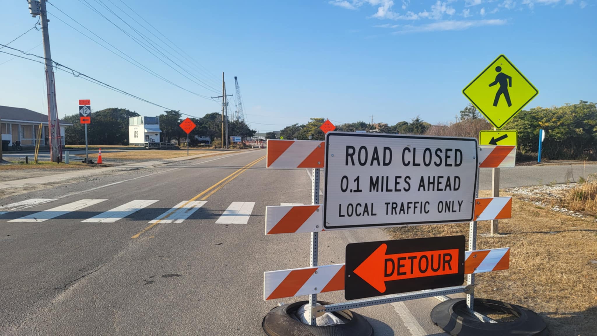
Very high surf and large breaking waves will likely result in moderate to significant beach erosion and ocean overwash along the North Carolina coast Thursday and Friday. Overwash and sound side flooding will likely cause issues on N.C. Highway 12 on the Outer Banks Thursday night through Friday night. Vulnerable areas could experience erosion or overwash for multiple high tide cycles.
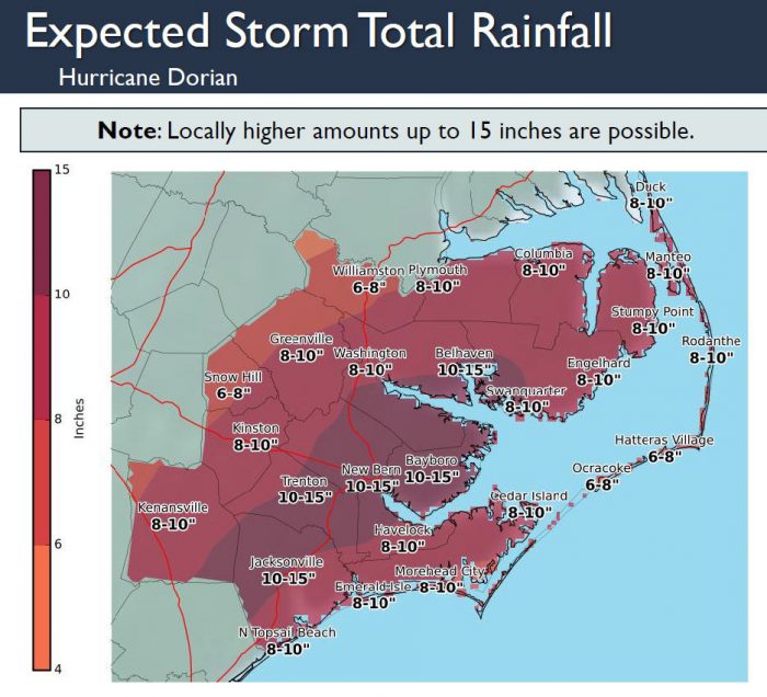
Hurricane Dorian will produce very heavy rainfall across Eastern North Carolina, with widespread flash flooding possible. 8 to 10 inches of rainfall is expected across the area, with localized higher amounts along the coast. These heavy rainfall amounts in a relative short period of time will likely produce flash flooding across eastern North Carolina Thursday through Friday evening
The strongest winds are expected late Thursday night into Friday evening, with winds peaking late Thursday night into Friday evening.
Isolated tornadoes are possible late Wednesday through Friday morning.
Very dangerous marine conditions are expected with seas 15 to 25 feet and higher. A high threat of rip currents will continue for all area beaches and it is advised to stay out of the water.
For more information on the local forecast, visit www.weather.gov/mhx for weather information, or the National Weather Service office in Newport / Morehead City’s Facebook page at https://www.facebook.com/NWSMoreheadCity/.
