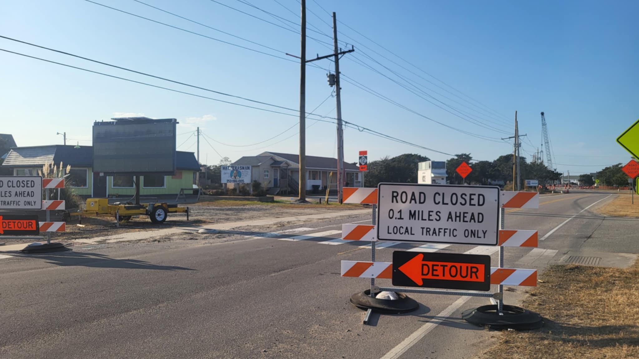
Threat for Ocean Overwash, Flooding Increases Wednesday Night as Coastal Low Stalls Offshore
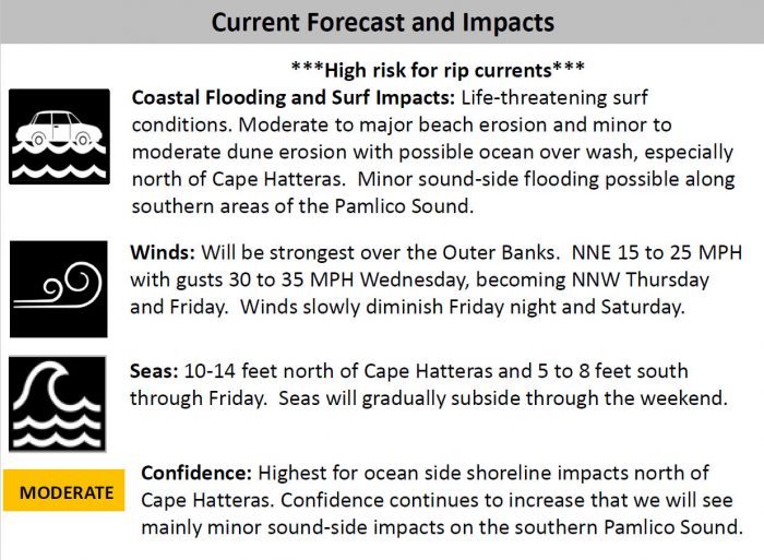
The threat for beach erosion, ocean overwash, and minor coastal flooding will increase on Wednesday night and continue through the rest of the week as a coastal low pressure system stalls offshore, per a recent update from the National Weather Service Newport / Morehead City office.
An area of low pressure off the Southeast coast is moving to the Mid-Atlantic coastal region, and will remain stalled through Saturday. This will bring a prolonged period of strong northerly winds and large surf along the coast.
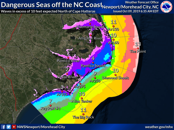
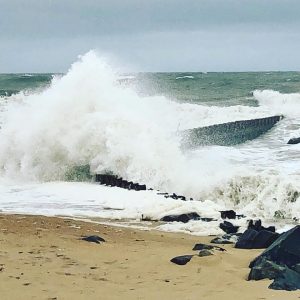
Large, dangerous seas in excess of 10 feet will occur off the N.C. coast through the end of the week. These seas will produce beach erosion, dangerous rip currents and ocean overwash around the times of high tide over portions of the Outer Banks during the next 72 hours, especially in areas north of Cape Hatteras.
Residents and visitors are advised to look out for standing water and sand on N.C. Highway 11. As of Wednesday morning, the highway remained passable throughout Hatteras Island, however, minor overwash was reported on portions of Pea Island. A high risk of rip currents will likely continue until the weekend as well.
Strong NNE winds of 15-25 mph with gusts of 30-35 mph are forecast for Wednesday, and winds will remain strong with a NNW direction on Thursday and Friday. Winds will slowly diminish Friday night and Saturday.
Persistent northerly winds over the next few days could also result in minor coastal flooding for locations adjacent to the Southern Pamlico Sound and lower Neuse River.
The National Hurricane Center is also highlighting this system in their Tropical Weather Outlook, and it could attain subtropical characteristics later in the week.
For more information on the local forecast, visit www.weather.gov/mhx for weather information, or the National Weather Service office in Newport / Morehead City’s Facebook page at https://www.facebook.com/NWSMoreheadCity/.
