UPDATE: Alberto, struggling to stay together, will pass offshore of Outer Banks By IRENE NOLAN
By IRENE NOLAN
By IRENE NOLAN
Tropical Storm Alberto, which formed yesterday off the South Carolina coast almost two weeks before the official start of the hurricane season, struggled today to keep itself together.
At 5 p.m. this afternoon, it was 210 miles south of Charleston, S.C., with winds of 45 miles an hour.
Alberto was still drifting south and will continue that movement tonight. However, tomorrow it will begin to move to the northeast and accelerate its speed.
The National Hurricane Center says the track of the storm is still uncertain, but model guidance is coming together to indicate that Alberto will stay well offshore of the Outer Banks.
The current forecast has Alberto passing about 100 miles offshore of Hatteras on Tuesday afternoon. No increase in wind speed is forecast.
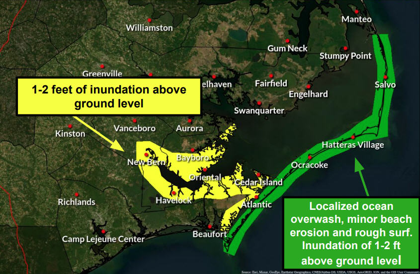
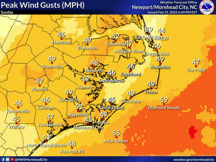
The National Weather Service at Newport, N.C., predicts that the major effects on Hatteras and Ocracoke will be a high threat of rip currents, heavy surf, and perhaps gusty winds and rain. The forecast calls for minor water level rises along the ocean beaches and little or no water level rises on the soundside of the islands.
Tropical storm watches have been dropped along the South Carolina-Georgia coast, and there are no watches or warnings in North Carolina.
Today’s cool and cloudy weather was caused by a low pressure off the North Carolina and Virginia coast that was blocking Alberto’s path north and bringing inclement weather into the beaches.
That low will dissipate tonight, and clear the path for Alberto to move northeast.
However, the forecast is for unsettled weather along the Outer Banks until at least Thursday.
For the latest updates on Alberto from the National Weather Service in Newport, go to
http://www.erh.noaa.gov/mhx/downloads/briefings/LatestBriefing.pdf.
Subject
Name
(required, will not be published)
(required, will not be published)
City :
State :
Your Comments:
May be posted on the Letters to the Editor page at the discretion of the editor.
May be posted on the Letters to the Editor page at the discretion of the editor.
May be posted on the Letters to the Editor page at the discretion of the editor.
May be posted on the Letters to the Editor page at the discretion of the editor.


