UPDATE: Beryl is heading back north and will bring heavy rain to the Outer Banks
Tropical Storm Beryl, the second named storm of the season, formed late Friday southeast of Cape Lookout, headed south and southwest, made landfall near Jacksonville, Fla., on Sunday night, dropped a lot of rain on Florida and Georgia Monday and today, then looped around back to the north and northeast.
The National Hurricane Center predicts the storm, now a tropical depression, will exit off the South Carolina coast early tomorrow, regain tropical storm strength in the Gulf Stream, and head quickly to the northeast along the North Carolina coast.
This afternoon, Beryl is west of Savannah, Ga., and heading northeast at 5 mph with winds of 30 mph.
Though there are no tropical storm watches or warnings at this point along the Outer Banks, Wednesday promises to be a nasty day.
The local National Weather Service office in Newport, N.C., has issued a flood watch for much of eastern North Carolina, including Hatteras and Ocracoke, from 4 a.m. until 11 p.m. Wednesday.
Predictions are for up to four to six inches of rain, starting early Wednesday and continuing into the night, until Beryl rapidly moves northeast of the area.
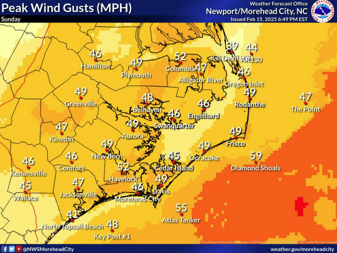
The weather service also is forecasting gusty winds up to tropical storm force strength along the beaches, though the heaviest winds will remain offshore in the storm’s east and southeast quadrants.
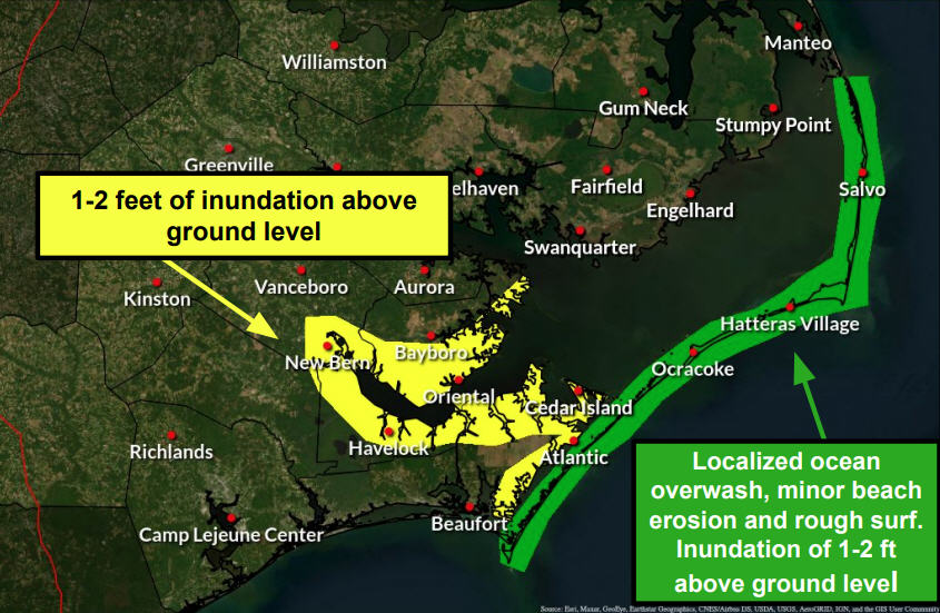
There could be minor coastal or soundside flooding as the storm passes, with water levels expected to be only one to two feet above normal, and six- to 10-foot seas.
For the most up-to-date forecasts and information on the storm, go to the NWS office in Newport at http://www.erh.noaa.gov/er/mhx/.
Subject
Name
(required, will not be published)
(required, will not be published)
City :
State :
Your Comments:
May be posted on the Letters to the Editor page at the discretion of the editor.
May be posted on the Letters to the Editor page at the discretion of the editor.
May be posted on the Letters to the Editor page at the discretion of the editor.
May be posted on the Letters to the Editor page at the discretion of the editor.


