Highway 12 Closed North of Pea Island Visitors Center; Ocean Overwash Continues
UPDATE: NC 12 is open to traffic as of 12:15 p.m. on Tuesday, September 19, per the NCDOT. Motorists are urged to please drive carefully and slow down through standing water.
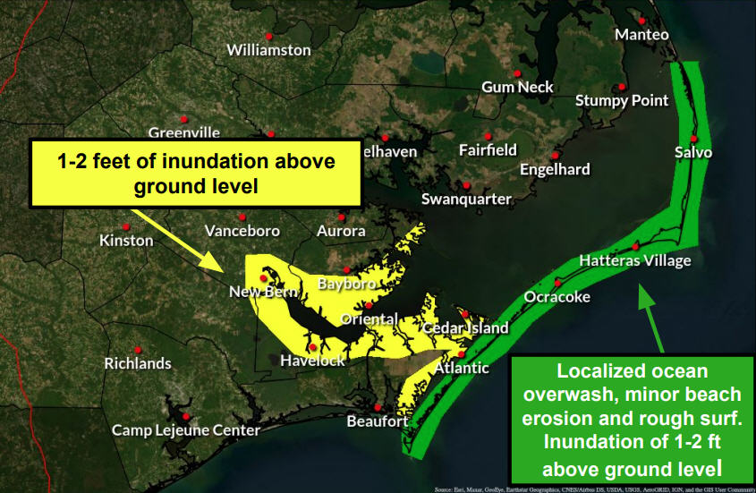
Soundside flooding was also reported for several hours this morning in Hatteras village and in north Avon. Ocean overwash is expected to continue into this evening, especially around high tide which is at approximately 7:30 p.m.
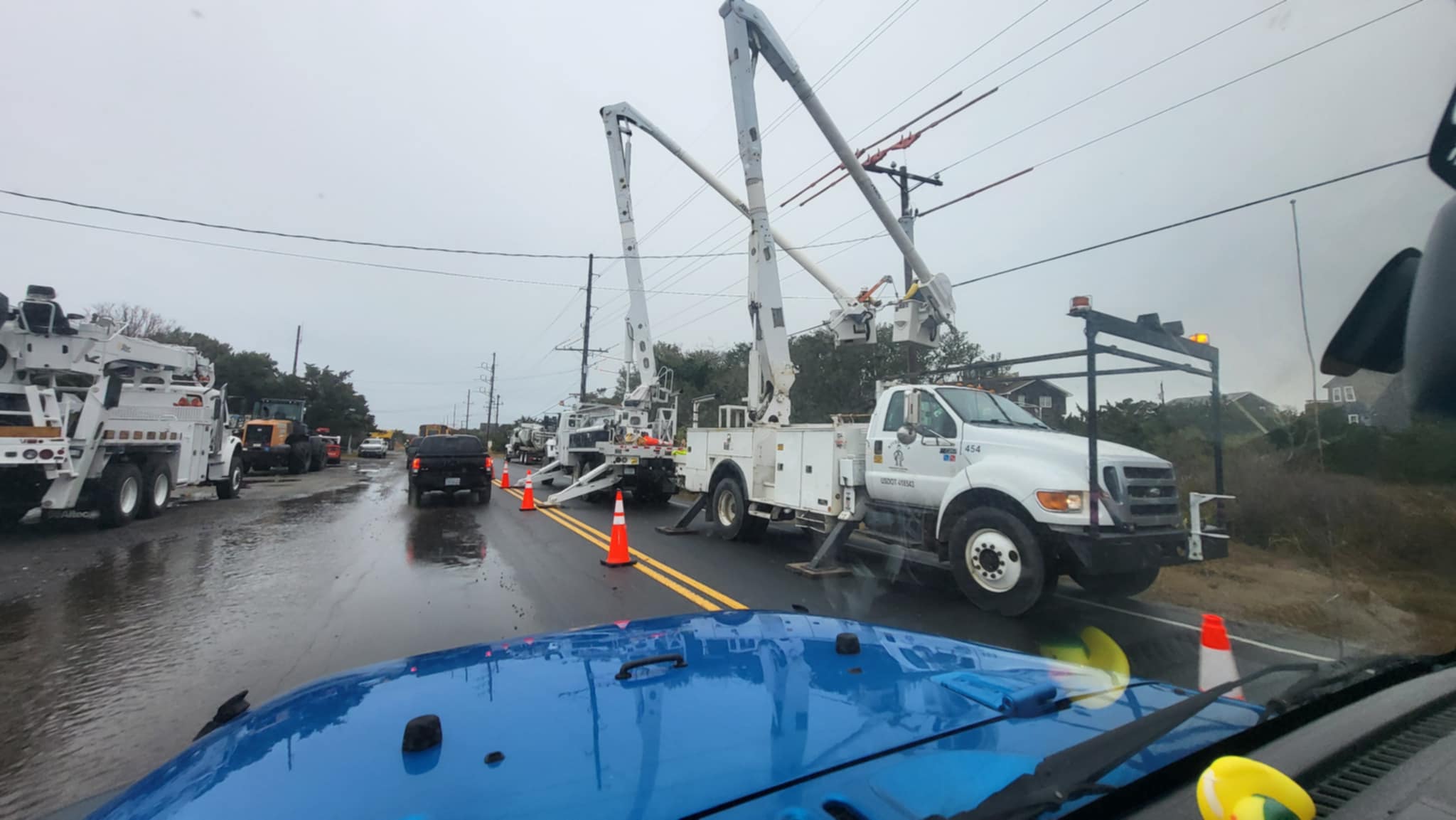
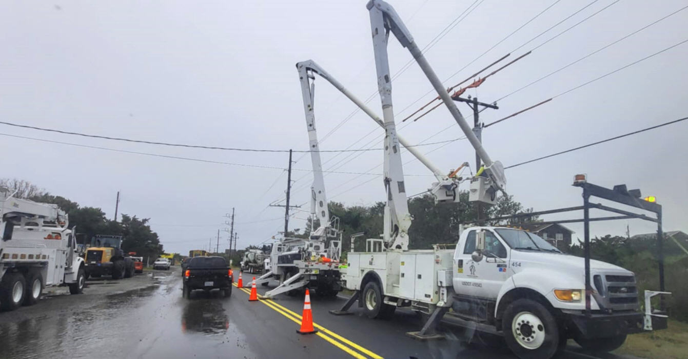
The NCDOT reported on Tuesday morning that NC Highway 12 is temporarily closed just north of the Pea Island Visitors Center until the tide subsides. Major ocean overwash has affected multiple villages, and travel is currently hazardous. Hatteras Island schools have also been closed for Tuesday.
In Avon, the ocean poured over the dunes onto Highway 12 near the Food Lion in a roughly 300 yard section, making the area hard to navigate. Rodanthe also has major ocean overwash in the Mirlo Beach area, and there have been reports of some soundside flooding in Hatteras village.
Residents and visitors are advised to avoid travel whenever possible, and to go slowly through flooded areas as saltwater can cause severe damage to vehicles.
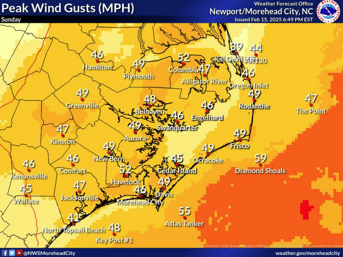
The main impacts of Jose continue to be very rough surf and dangerous rip currents that will continue through today. The very large waves combined with gusty north winds could lead to additional beach erosion and ocean overwash, mainly around the times of high tide through today, and possibly through tonight for areas north of Cape Hatteras.
As of 8 a.m., Jose was about 235 miles ENE of Cape Hatteras, and was moving north at 9 mph.
This general motion is expected to continue through today with a turn to the northeast anticipated tonight.
Jose is a large tropical cyclone. Hurricane-force winds extend outward up to 45 miles from the center and tropical-storm-force winds extend outward up to 310 miles. A ship located more than 200 miles southwest of the center of Jose recently reported a sustained wind of 40 mph (65 km/h), and NOAA Buoy 44014, located east of the Virginia-North Carolina border or about 160 miles west of the center, also reported a sustained wind of 40 mph (65 km/h).
Visit www.weather.gov/mhx for weather forecast information covering Eastern NC, and visit the National Hurricane Center at www.nhc.noaa.gov for information on the tropics.
The Island Free Press will continue to monitor this system and will post updates as soon as they are available.


