Heavy rains will continue; Paulette may bring coastal flooding early next week
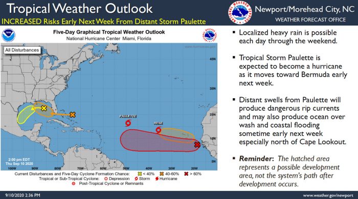
While the threat for an area of low pressure off of North Carolina to develop into a tropical system has diminished, heavy rains will continue through the weekend, and Tropical Storm Paulette may impact the Outer Banks early next week, per a Thursday afternoon update from the National Weather Service (NWS) Newport / Morehead City office.
Tropical Storm Paulette, which is predicted to become Hurricane Paulette, is expected to pass well to the east of N.C. towards Bermuda, however, impacts are expected from this distant storm.
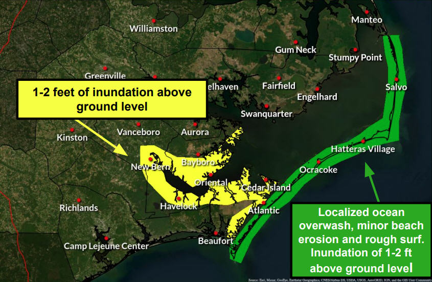
A long period swell from Paulette will produce dangerous rip currents, and may produce ocean overwash and coastal flooding, especially from Cape Lookout north. The timing of any flooding would be sometime early next week, per the NWS.
Meanwhile, continued heavy rains may produce flooding in poor drainage areas, and an elevated risk of rip currents will continue through the rest of the week as well.
For more information on the local forecast, visit www.weather.gov/mhx for weather information, or the National Weather Service office in Newport / Morehead City’s Facebook page at https://www.facebook.com/NWSMoreheadCity/.


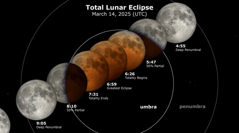
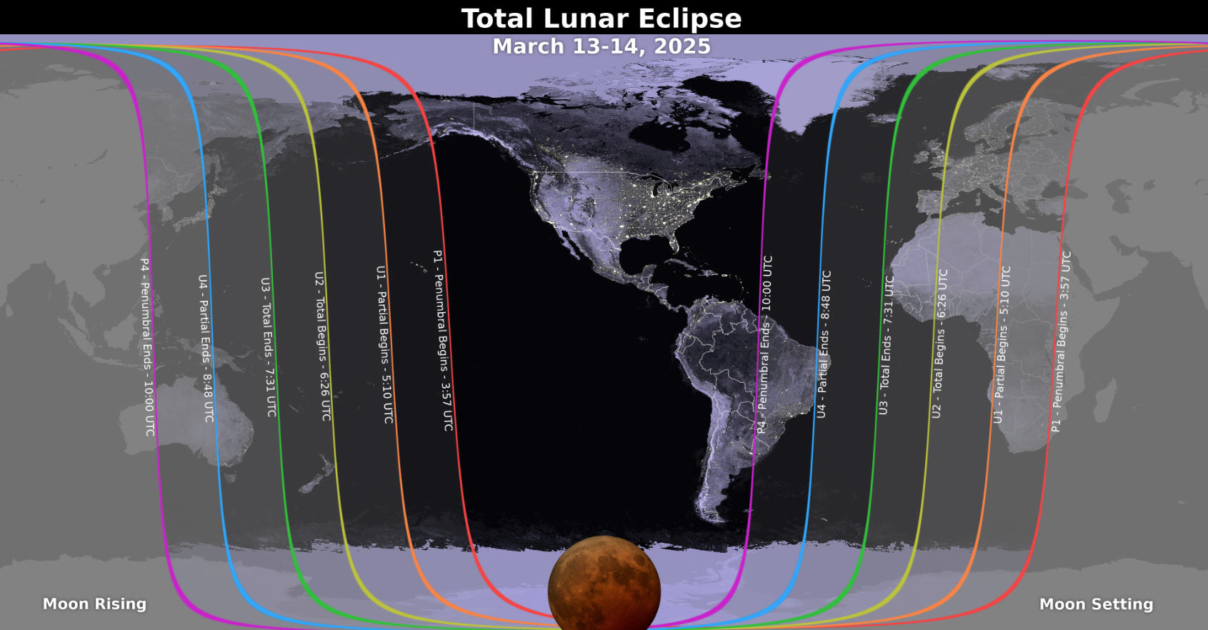









This is what we wait all year for!